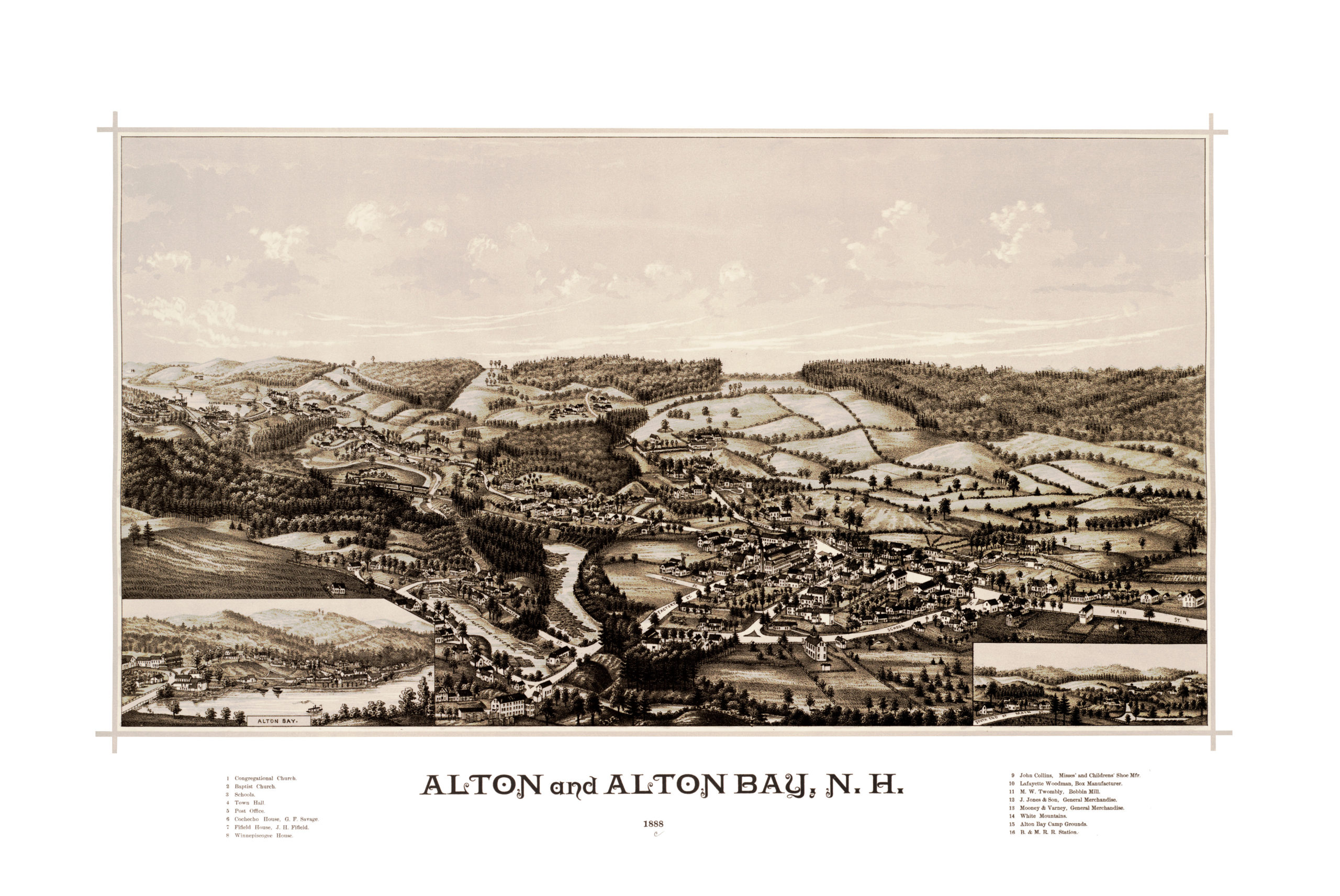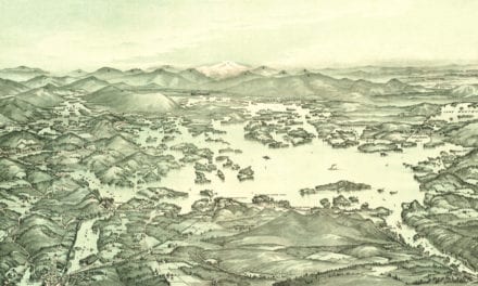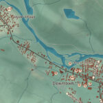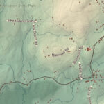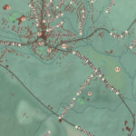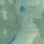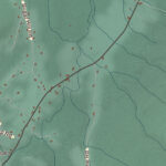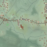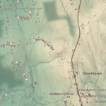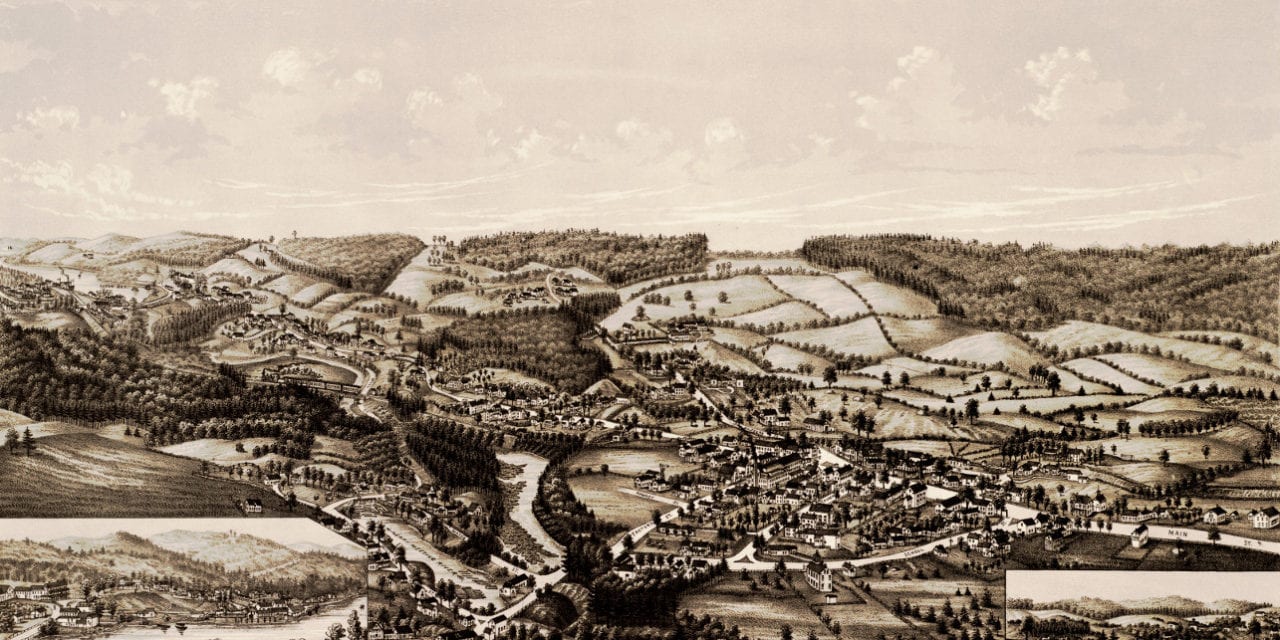
This vintage map shows Alton, New Hampshire as it looked in 1888. The map was created by George E. Norris and digitally restored by the team at KNOWOL. You can explore a larger copy of the map below, or click here to get a high resolution print.
This old map of Alton and Alton Bay, NH shows locations such as the Congregational Church, The Cocheco Railroad House at Alton Bay, Winnipiseogee House, the White Mountains, B&M Railroad Station and more.