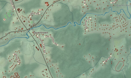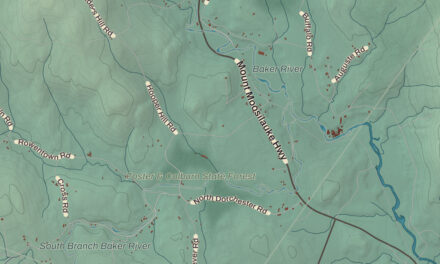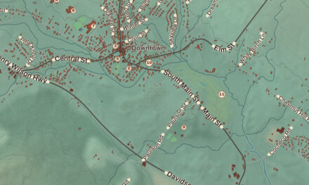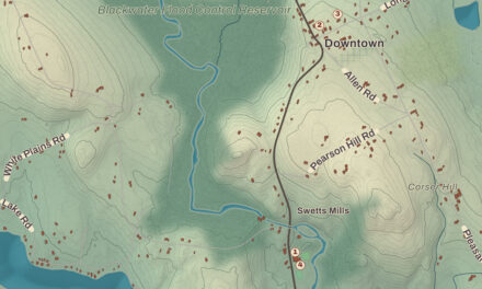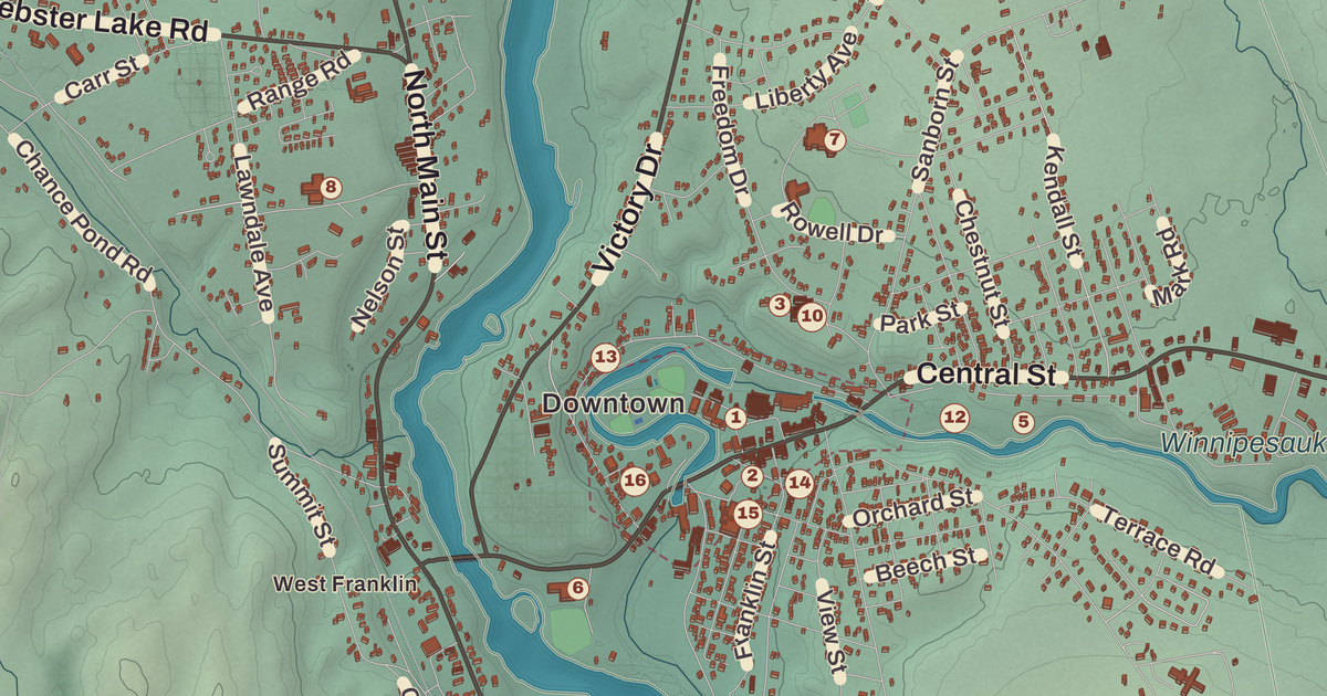
Franklin people know the Upside-Down Covered Bridge, even if most of them have only seen it from the river trail. This map prints it under its proper name, the Sulphite Railroad Bridge, along with Webster Lake, Mill City Park, Franklin City Hall, the Franklin Free Public Library and the Daniel Webster Family Home.
Franklin is a city in the northern part of Merrimack County, where the Pemigewasset and Winnipesaukee rivers meet.
KNOWOL made this map in 2026 from public survey data and gave it the look of an old atlas. The shaded terrain around Smith Hill and Webster Lake comes from United States Geological Survey elevation data, and it climbs to about 1,370 feet on an unnamed summit near the city’s northwest corner. The roads and the city line come from the Census Bureau, right down to Ward Hill Road. The Daniel Webster Family Home and the Sulphite Railroad Bridge are on the National Register of Historic Places, and we checked both against National Park Service records. Franklin had 8,741 people at the 2020 census, the smallest count of New Hampshire’s 13 cities.
See it on a wall
The Franklin map as a framed print. Swipe for more.


Pemigewasset Village
The Pemigewasset and the Winnipesaukee join here to form the Merrimack River. Colonists first called the settlement Pemigewasset Village, and the town was pieced together from parts of Salisbury, Andover, Sanbornton and Northfield. It took the name Franklin in 1820, in honor of Benjamin Franklin, and the water power of the falls on the Winnipesaukee helped it grow into a mill town. Franklin was incorporated as a town in 1828 and became a city in the 1890s. In 1943 the Army Corps of Engineers built the Franklin Falls Dam on the Pemigewasset above the city for flood control, creating the Franklin Falls Reservoir.
The old mill city’s center is the Franklin Falls Historic District, 75 acres along Central Street between two crossings of the Winnipesaukee River, listed on the National Register in 1982. Penacook people, part of the Abenaki, lived at the falls when Europeans arrived in New England, and archaeologists have found evidence of them at Odell Park. The area grew slowly until the railroad came in 1846. In 1864 Walter Aiken, the inventor of a knitting machine, opened a factory at the falls, and brick mill complexes went up along the river over the next decades, though most of their original industries had closed by 1970. Many of the brick Italianate buildings on Central Street date from the 1860s and 1870s, and the Franklin Opera House of 1892 holds the town offices. The Franklin Free Public Library brought together several private libraries founded in the 1890s, and Andrew Carnegie helped pay for its 1907 building.
Daniel Webster’s farm
Daniel Webster was born in 1782 in a part of Franklin that still belonged to Salisbury. The Daniel Webster Birthplace State Historic Site, off Route 127, keeps the two-room log cabin tied to his birth and early childhood, restored to show farm life in the late 1700s, and it’s open on weekends in season. The Daniel Webster Family Home, also called The Elms, stands off South Main Street in West Franklin. His father, Ebenezer, bought the farm in 1800, while Daniel was a student at Dartmouth College. When Daniel’s brother Ezekiel died in 1829, Daniel inherited it, and he kept it the rest of his life as an experimental farm and a retreat from his home in Marshfield, Massachusetts. His parents and several of his brothers and sisters are buried on the land. Webster’s son Fletcher sold the place in 1855 to a merchant, Rufus Tay, who added the three story section in 1858, and from 1871 to 1958 it served as an orphanage. It was named a National Historic Landmark in 1974 for its years as Webster’s summer home.
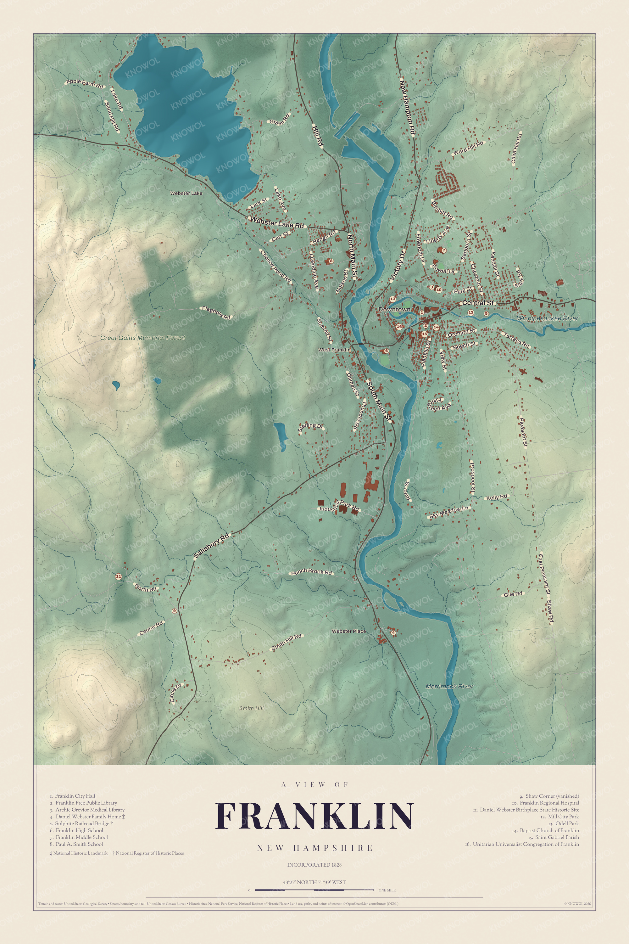
Click to explore a larger preview. The digital watermark does not appear on printed maps.
Names on this map
These names are printed on this map.
Places: Downtown, Webster Place, Webster Lake, West Franklin, Smith Hill, Winnipesaukee River, Merrimack River, Great Gains Memorial Forest, Franklin City Hall, Franklin Free Public Library, Archie Grevior Medical Library, Daniel Webster Family Home, Sulphite Railroad Bridge, Franklin High School, Franklin Middle School, Paul A. Smith School, Franklin Regional Hospital, Daniel Webster Birthplace State Historic Site, Mill City Park, Odell Park, Baptist Church of Franklin, Saint Gabriel Parish and Unitarian Universalist Congregation of Franklin.
Streets and roads: South Main Street, Salisbury Road, Webster Lake Road, Central Street, Hill Road, Victory Drive, New Hampton Road, North Main Street, Prospect Street, Pleasant Street, River Street, Smith Hill Road.
More street names, A to Z
Apple Farm Road, Babbitt Road, Beech Street, Calef Hill Road, Carr Street, Center Road, Chance Pond Road, Chestnut Street, Circle Drive, East Pleasant Street, Evergreen Avenue, Flaghole Road, Franklin Street, Freedom Drive, Gile Road, Gilman Street, Griffin Road, Industrial Park Road, Kelly Road, Kendall Street, Lake Avenue, Lake Road, Lark Street, Lawndale Avenue, Liberty Avenue, Mark Road, Nelson Street, North Road, Orchard Street, Park Street, Punch Brook Road, Range Road, Rowell Drive, Sanborn Street, Sand Hill Road, Shaw Road, Sky Meadow Lane, Sterling Drive, Summit Street, Terrace Road, Thunder Road, View Street, Ward Hill Road.
The Upside-Down Covered Bridge
The Sulphite Railroad Bridge crosses the Winnipesaukee about 0.7 miles east of downtown, between Franklin and Tilton. The Boston and Maine Railroad built it around 1896, and it’s believed to be the only surviving “upside down” covered railroad bridge in the United States: the rails were laid on top of the roof, and the roof sheltered the trusses below. It runs 234 feet in three spans of Pratt trusses on granite piers and abutments. The name comes from the sulfite the line carried to Franklin’s paper mills. Those mills closed in the 1920s, the line shut down in 1973, and the bridge has gone unused since. It was listed on the National Register in 1975, but its page says it’s in poor condition after graffiti, vandalism, arson and the weather. You can’t readily see it from any road; the Winnipesaukee River Trail is the place to look.
Webster Lake, in West Franklin, covers 606 acres. Roads follow most of its shore, the city runs a public beach on each side, and boats put in next to Lagace Beach on Route 11. The lake drains to the Pemigewasset just above the spot where the two rivers meet. Central Street, carrying U.S. Route 3 and Route 11, is the city’s main street, and whitewater paddlers on the Winnipesaukee run the rapids down from Cross Mill Bridge in Tilton to the Sanborn Bridge on Route 3 in downtown Franklin. Franklin City Hall, Mill City Park, Smith Hill and Webster Place are all printed on the map. Hill lies to the northwest, Sanbornton to the northeast, Tilton to the east, Northfield to the southeast, Boscawen to the south, Salisbury to the southwest and Andover to the west.
Hang this Franklin map in an office, library or den, or use it to teach children the geography and history of a river city. It’s made for anyone who calls Franklin home, from West Franklin to the falls. KNOWOL created it in 2026, and it’s printed on museum quality archival paper. Zoom in on the preview above to explore the details, then click here to get your copy of the Franklin map.

Sources