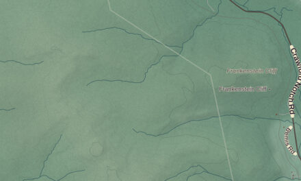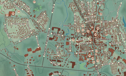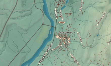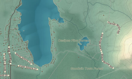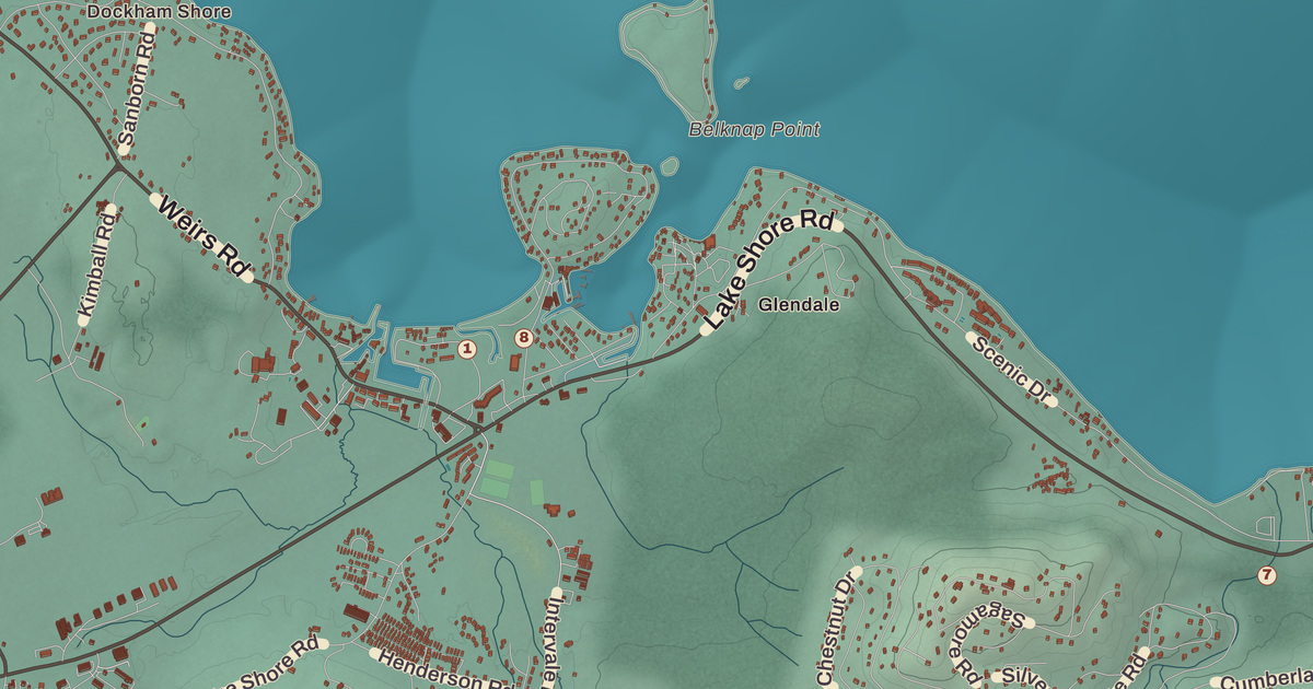
Gilford has the lake on one side and the mountains on the other. Ellacoya State Park sits on the Winnipesaukee shore, and Gunstock Mountain Resort sits off Route 11A. This map prints them both, along with Gilford Beach, the Gilford Town Hall, the Gilford Public Library, The Ledges, Ames, Yale Estates and Dockham Shore.
Gilford is in Belknap County, on Lake Winnipesaukee, with Laconia to the west.
KNOWOL made this map in 2026 from public survey data and gave it the look of an old atlas. The shaded terrain around The Ledges and Ames comes from United States Geological Survey elevation data, and it rises to 2,384 feet on Belknap Mountain, in the south of town, the highest point in Gilford and in all of Belknap County. The roads and the town line come from the Census Bureau, right down to smaller roads such as Skyline Drive. The Benjamin Rowe House and the District No. 9 Schoolhouse are on the National Register of Historic Places, and we checked them against National Park Service records. Gilford had 7,699 people at the 2020 census.
See it on a wall
The Gilford map as a framed print. Swipe for more.


Gunstock Parish
Gilford was settled in 1778 as part of Gilmanton, and at first it was called Gunstock Parish. Captain Lemuel B. Mason had fought in the Revolution at the Battle of Guilford Court House in North Carolina in 1781, and after he retired to Gunstock Parish, he proposed in 1812 that it become a town of its own named Guilford, after that battle. A clerical error later shortened the name to Gilford. The old parish name lives on in Gunstock Mountain and its ski resort.
The Benjamin Rowe House, at 88 Belknap Mountain Road on the southern edge of the town center, was probably built in the 1830s and is one of Gilford’s best preserved 19th century houses. It’s a one story brick Cape with four slender chimneys rising through the roof, a granite lintel over the front door and a wood frame ell behind. The place was a working dairy farm in the early 1900s. The town bought the farm in 1970 and kept town offices in the house for a while in the 1980s. A restoration in the 1990s brought back its 19th century look, and it’s now a local history museum. Southeast of the center, at 358 Hoyt Road, the District No. 9 Schoolhouse went up in 1815 and is the best preserved of Gilford’s surviving district schools. It got a gable roof and a vestibule around 1835, more windows in the 1850s, and desks and chairs in place of benches in 1892. Classes ended in the mid-1920s, and since 1938 it’s been a private summer home.
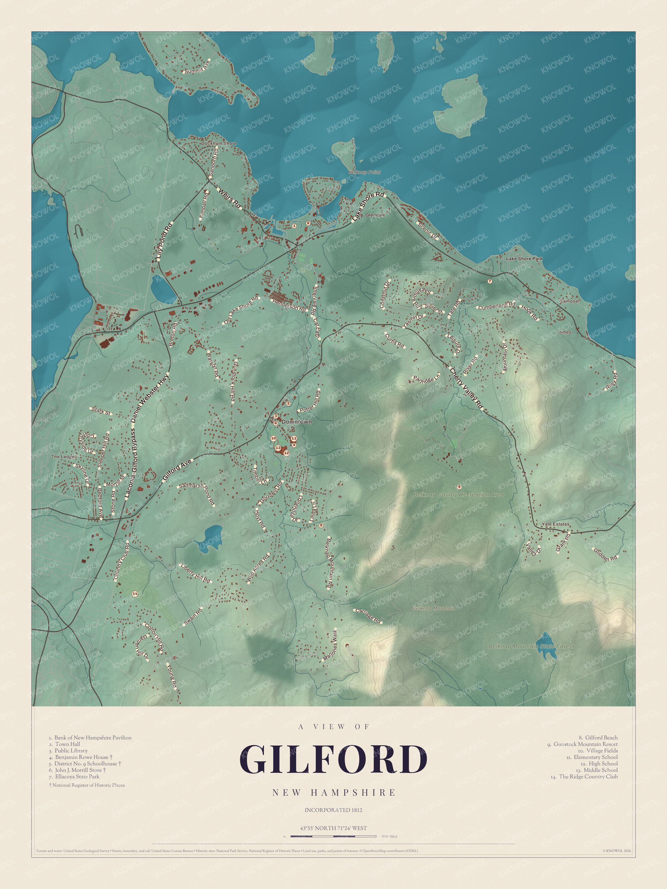
Click to explore a larger preview. The digital watermark does not appear on printed maps.
Names on this map
These names are printed on this map.
Places: Downtown, The Ledges, Yale Estates, Dockham Shore, Ames, Samoset, Belknap Mountain, Belknap Point, Belknap County Recreation Area, Belknap Mountain State Forest, Glendale, Lake Shore Park, Bank of New Hampshire Pavilion, Town Hall, Public Library, Benjamin Rowe House, District No. 9 Schoolhouse, John J. Morrill Store, Ellacoya State Park, Gilford Beach, Gunstock Mountain Resort, Village Fields, Elementary School, High School, Middle School and The Ridge Country Club.
Streets and roads: Lake Shore Road, Cherry Valley Road, Daniel Webster Highway, Laconia-Gilford Bypass, Gilford Avenue, Weirs Road, Lily Pond Road, Belknap Mountain Road, Morrill Street, Old Lake Shore Road, Liberty Hill Road, Hoyt Road.
More street names, A to Z
Bedford Avenue, Breton Road, Carriage Road, Cat Path, Chestnut Drive, Cotton Hill Road, Country Club Road, Countryside Drive, Cumberland Road, Curtis Road, Garden Hill Drive, Glidden Road, Goodwin Road, Grant Road, Gunstock Hill Road, Henderson Road, Hook Road, Intervale Road, Kimball Road, Leisure Drive, Linda Lane, Longridge Drive, Marjories Walk, Mountain Drive, Partridge Lane, Potter Hill Road, Riley Road, River Road, Sagamore Road, Saltmarsh Pond Road, Sanborn Road, Scenic Drive, Silver Street, Skyline Drive, Sleeper Hill Road, Stark Street, Stone Road, Summit Avenue, Swain Road, Tate Road, Timber Lane, Valley Drive, Watson Road, Wild Acres Road, Yasmin Drive, Young Road.
Gunstock and the lake
Gilford was the destination of the first “snow train” from Boston in the 1930s, and it had New Hampshire’s first motorized ski lift, a gasoline-powered rope tow built in 1934 at what is now Gunstock Mountain Resort. The resort itself began as the Belknap Mountain Recreation Area, built by the Works Progress Administration with hundreds of workers who’d been out of work, and finished in 1937. Belknap County owns it. It had the first chairlift in the eastern United States, and most of its trails are named for guns or gun parts, like Pistol, Musket, Flintlock, Ramrod and Trigger. Penny Pitou skied as a girl at the Gilford Outing Club and the Belknap Mountain ski area, now Gunstock, and won two Olympic silver medals in 1960, in the downhill and the giant slalom.
Gunstock Mountain stands a mile north of Belknap Mountain, which is named for the historian Jeremy Belknap and has a working fire tower on its summit. Much of the town drains through the Gunstock River to Lake Winnipesaukee. Down on the lake, Ellacoya State Park has 600 feet of beach on the southwest shore; the state bought the land in 1956, and the park opened in 1958, with a cottage thought to date from 1935 kept as its office. Governors Island, out in the lake, belongs to Gilford too. Stilson Hutchins, the founder of The Washington Post, built a granite mansion there in 1885, and from 1903 to 1908 the German ambassador leased the island and ran the German Embassy from it in the summers.
Route 11 crosses Gilford east to west, and Route 11A runs through the town center and past the entrance to Gunstock. Route 11B leaves Route 11 near Sanders Bay and heads northwest to Weirs Beach. Gilford Beach, The Ledges, Ames, Yale Estates and Dockham Shore are all printed on the map. Meredith lies to the northeast, Moultonborough to the north, Alton to the east, Gilmanton to the southeast and Belmont to the south.
Hang this Gilford map in an office, library or den, or use it to teach children the geography and history of a Lakes Region town. It’s made for anyone who calls Gilford home, and for everyone who learned to ski at Gunstock. Created by KNOWOL in 2026, it’s printed on museum quality archival paper. Zoom in on the preview above to explore the details, then click here to get your copy of the Gilford map.

Sources