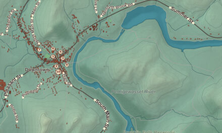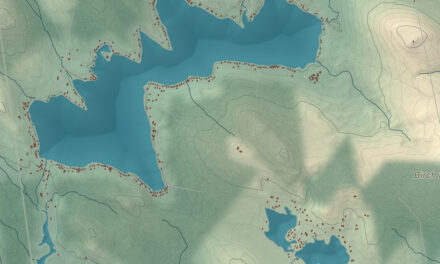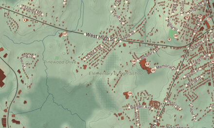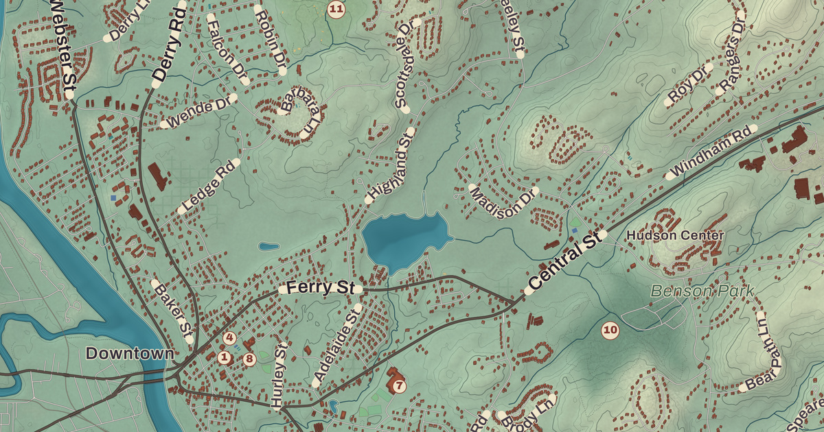
Hudson grew from two centers. Hudson Village sits on the Merrimack across the bridges from Nashua, and Hudson Center sits at the five-way crossing of Central Street, Greeley Street, Kimball Hill Road and Windham Road, near the middle of town. This map prints both, along with the Hills House, the Hills Memorial Library, the Rodgers Memorial Library, Benson Park and the Hudson Town Hall, and the hills and corners in between: Barrett Hill, Breakneck Hill and Potash Corner.
Hudson is in Hillsborough County, and its southern line is the Massachusetts border.
KNOWOL made this map in 2026 from public survey data and gave it the look of an old atlas. The shaded terrain around Potash Corner and Hudson Center comes from United States Geological Survey elevation data; the highest ground is Bush Hill, 515 feet, near the eastern line. The roads and the town line come from the Census Bureau, right down to Mark Street. The Hills House and the Hills Memorial Library are on the National Register of Historic Places, and we checked them against National Park Service records. Hudson had 25,394 people at the 2020 census, which makes it the tenth-largest city or town in New Hampshire.
See it on a wall
The Hudson map as a framed print. Swipe for more.


From Nottingham West to Hudson
Hudson started out as part of the Dunstable land grant, which took in what’s now Nashua and land on both sides of today’s state line. In 1732 the part of Dunstable east of the Merrimack became the town of Nottingham, Massachusetts. Nine years later the colonies finally settled their border, and the New Hampshire side became Nottingham West, to keep it from being confused with Nottingham, New Hampshire. That worked for the better part of a century; in 1830 the town took the name Hudson. The name apparently came from an old belief that the Merrimack had once been taken for a branch of the Hudson River, or that Henry Hudson had explored here. Neither turned out to be true, but the name stayed.
Alfred and Virginia
The Hills family looms large in Hudson’s history. Dr. Alfred Hills, a Hudson native who practiced medicine in New York City, and his wife, Ida Virginia, built the Hills House on Derry Road in 1890 as their summer home. It’s a Shingle style house with porches, a turret and a conical roof, probably designed by the Boston architect Hubert G. Ripley, and they called the place “Alvirne,” from their two first names. Today it’s the home of the Hudson Historical Society, and its grounds hold Old Home Days and Harvest Fest every year.
When Virginia Hills died in 1908, at 51, her husband and her mother, Mary Field Creutzborg, paid for a library in her memory on land Kimball Webster had given for one. Ripley designed it too, a two-story stone building put up over the winter of 1908 and 1909, and it was dedicated on June 11, 1909, the 22nd anniversary of the Hillses’ wedding. In its first year, 830 of the town’s 1,344 people signed up for library cards. The Hills Memorial Library served Hudson for a century, until the collection moved to the new Rodgers Memorial Library on Route 102 in 2009; the old building still stands on Library Street. Dr. Hills and his mother-in-law also gave land from the estate and money for a high school, and Alvirne High School opened across Derry Road from the house in 1950, with a first graduating class of 25 seniors in 1951. By 1957 it had become an agricultural school, and its Palmer Center still runs student businesses, among them a bank, a restaurant and a dairy farm.
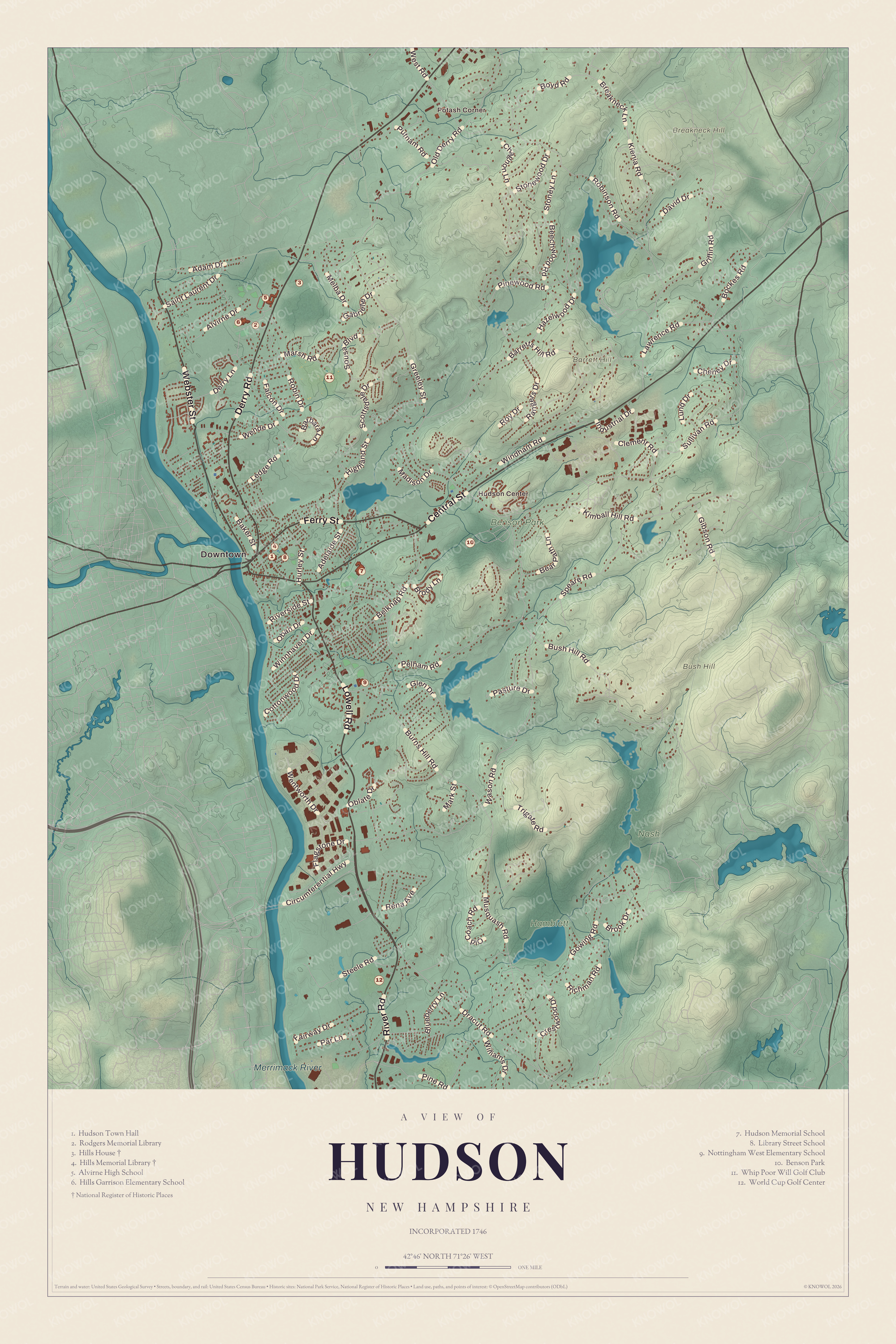
Click to explore a larger preview. The digital watermark does not appear on printed maps.
Names on this map
These names are printed on this map.
Places: Downtown, Potash Corner, Hudson Center, Barrett Hill, Breakneck Hill, Bush Hill, Merrimack River, Nash, Hamblett, Benson Park, Hudson Town Hall, Rodgers Memorial Library, Hills House, Hills Memorial Library, Alvirne High School, Hills Garrison Elementary School, Hudson Memorial School, Library Street School, Nottingham West Elementary School, Whip Poor Will Golf Club and World Cup Golf Center.
Streets and roads: Lowell Road, Derry Road, Central Street, Webster Street, Ferry Street, River Road, Robinson Road, Bush Hill Road, Wason Road, Barretts Hill Road, Old Derry Road, Kimball Hill Road.
More street names, A to Z
Adam Drive, Adelaide Street, Alvirne Drive, Baker Street, Barbara Lane, Bear Path Lane, Beechwood Road, Belknap Road, Blueberry Lane, Bockes Road, Boyd Road, Breakneck Lane, Brody Lane, Brook Drive, Burns Hill Road, Chagnon Lane, Cheney Drive, Circumferential Highway, Clement Road, Cottonwood Drive, Crestwood Drive, David Drive, Derry Lane, Dracut Road, Fairway Drive, Falcon Drive, Flagstone Drive, Gabrielle Drive, Gibson Road, Glen Drive, Gowing Road, Greeley Street, Griffin Road, Hazelwood Drive, Highland Street, Hurley Street, Industrial Drive, Kienia Road, Lawrence Road, Ledge Road, Lund Drive, Madison Drive, Mark Street, Marsh Road, Melba Drive, Musquash Road, Oban Drive, Oblate Drive, Old Coach Road, Par Lane, Pasture Drive, Pelham Road, Pine Road, Pinewood Road, Putnam Road, Rangers Drive, Rena Avenue, Richman Road, Riverside Street, Robin Drive, Roy Drive, Saint Laurent Drive, Scottsdale Drive, Sousa Boulevard, Speare Road, Steele Road, Stonewood Drive, Stoney Lane, Sullivan Road, Trigate Road, Wende Drive, Wentworth Drive, West Road, Williams Drive, Windham Road, Winnhaven Drive.
Benson’s
Hudson Center had its own landmark for six decades. John Benson, born in England, started an animal-training center here in 1924 and opened it to the public in 1926 as Benson’s Wild Animal Farm, with animal exhibits, a miniature train and games. On Sundays a special “Jungle Train” ran from Boston to Hudson with admission included in the fare. Its gorilla, Colossus, even “ran” for president in the New Hampshire primary as a publicity stunt. The park closed after the 1987 season, the state bought the land in 1989, and the town took it over in 2009. It reopened in May 2010 as Benson Park, free to all, with walking trails, ponds and picnic spots, and the Old Lady in the Shoe, the gorilla house and the elephant barn were repaired. The old Hudson Center railroad station, moved over from Greeley Street, stands there too.
Around town
Hudson Village, at the junction of Routes 3A, 102 and 111, was where most of the first schools, libraries and town offices were, and the Hudson Town Hall is still there. The Town Common, where Derry, Ferry and Library streets meet, fills with big toy soldiers at Christmas. Hudson Center keeps Greeley Field, with its ball diamond and basketball courts, and on Kimball Hill Road there’s a cemetery from the time of the Revolution and an old schoolhouse that’s now a home. Robinson Pond in the north has a public beach and boat ramp, and Otternic Pond, which locals call “Tonic Pond,” lies between the two centers; both are fished in summer and skated on in winter. Musquash Pond in the south of town is a wild bird sanctuary. Up near the northern edge, the quarter-mile Hudson Speedway hosts races in a NASCAR weekly series. Barrett Hill, Breakneck Hill and Potash Corner are printed on the map as well. Route 3A runs north into Litchfield, Route 102 heads northeast into Londonderry, Route 111 runs east into Windham, and Nashua lies across the river.
This Hudson map is a fine addition to an office, library or den, and it can teach children the geography and history of a town that changed its name to stop being confused with another. It’s made for anyone who calls Hudson home, from the village by the river to Hudson Center. KNOWOL created it in 2026, and it’s printed on museum quality archival paper. Zoom in on the preview above to explore the details, then click here to get your copy of the Hudson map.

Sources