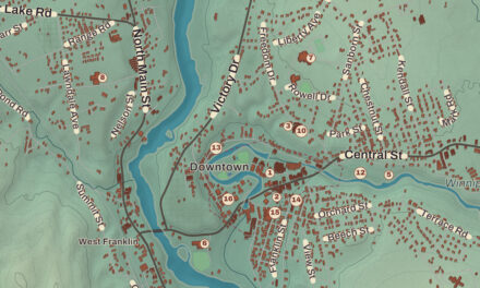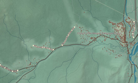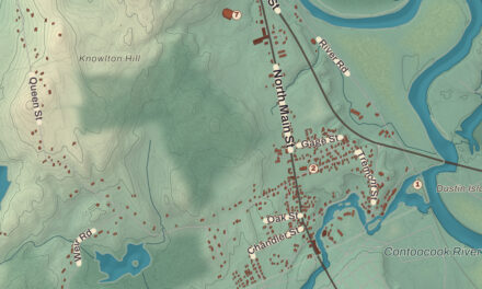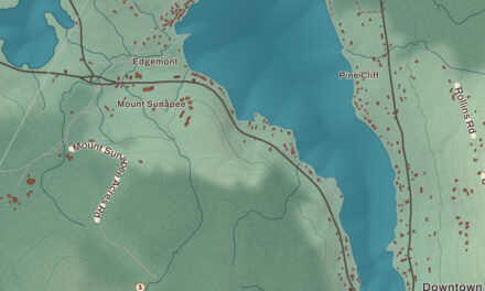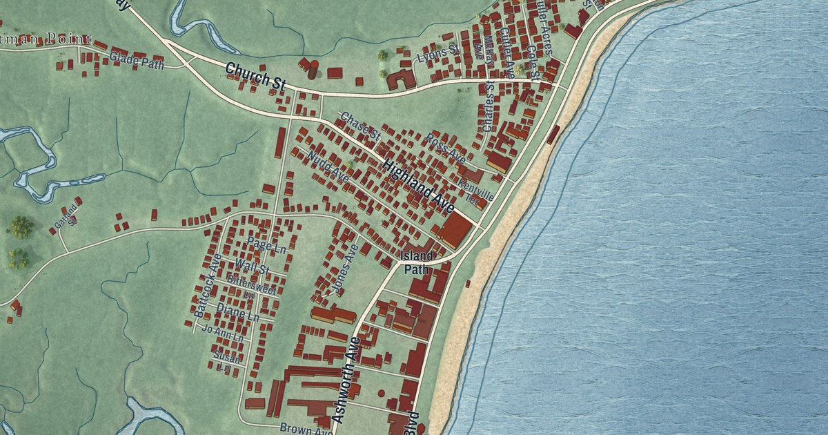
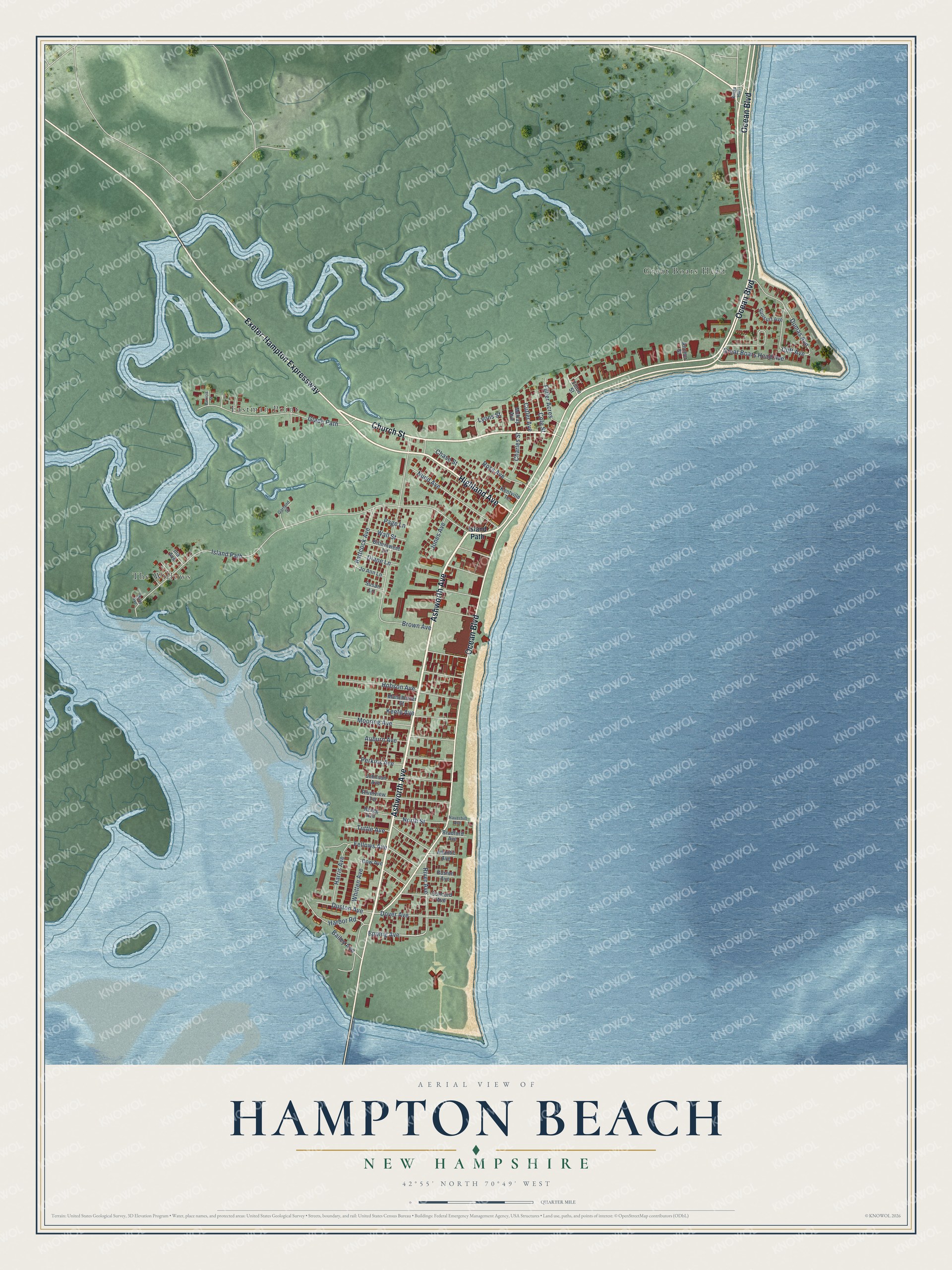
This beautifully detailed map of Hampton Beach, New Hampshire was created in 2026 using aerial imagery combined with modern topographical, census, street and landmark data. It’s a one-of-a-kind view of Hampton Beach that combines accurate data with a vintage aesthetic. The map shows every building in its true location, many of the roads carry their names, and the shaded topographic relief shows the shape of the land.
Explore an aerial view of Hampton Beach, New Hampshire
On the map you’ll find Eastman Point, Great Boars Head, and The Willows, along with Ashworth Avenue, Church Street, Highland Avenue, Ocean Boulevard, Exeter-Hampton Expressway, Epping Avenue, Island Path, Brown Avenue, Glade Path, and more. Hampton Beach sits about 2 miles north of Seabrook Beach, 8 miles southeast of Exeter and 10 miles south of Portsmouth. If you look closely you can even find your house accurately drawn in its correct location. Zoom in on the preview to look for yours.
Take a closer look at the Hampton Beach map
Names on this map
These names are printed on this map.
Places: Eastman Point, Great Boars Head and The Willows.
Streets and roads: Ashworth Avenue, Church Street, Highland Avenue, Ocean Boulevard, Exeter-Hampton Expressway, Epping Avenue, Island Path, Brown Avenue, Glade Path, Dumas Avenue, Great Boars Head Avenue, Nudd Avenue.
More street names, A to Z
Anchor Street, Atlantic Avenue, Auburn Avenue, Bailey Avenue, Battcock Avenue, Bittersweet Lane, Boston Avenue, Bradford Avenue, Bragg Avenue, Charles Street, Chase Street, Cliff Avenue, Cole Street, Concord Avenue, Cutler Avenue, Diane Lane, Dover Avenue, Dow Avenue, Duston Avenue, Fellows Avenue, Fuller Acres, Garland Street, Harbor Road, Harris Avenue, Haverhill Avenue, Hobson Avenue, Ina Avenue, Jo Ann Lane, Johnson Avenue, Jones Avenue, Keefe Avenue, Kentville Terrace, Kings Highway, Lyons Street, Manchester Street, Mary Avenue, McKay Avenue, Mooring Avenue, North Street, Page Lane, Patricia Street, Perkins Avenue, River Avenue, Riverview Terrace, Ross Avenue, Sunsurf Avenue, Susan Lane, Tilton Street, Tuttle Avenue, Wall Street, Whitten Avenue.
See it on a wall
The Hampton Beach map as a framed print. Swipe for more.


This beautifully detailed map of Hampton Beach makes an attractive addition to your office, library, or den, and it can even be used to teach children the geography and history of the area. It also makes a great gift for someone who left Hampton Beach and still calls it home. When you’re done exploring, click here to get your copy of the Hampton Beach map.