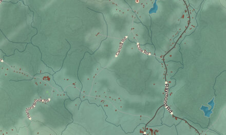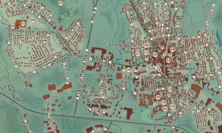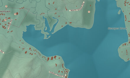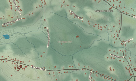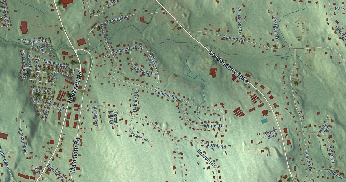
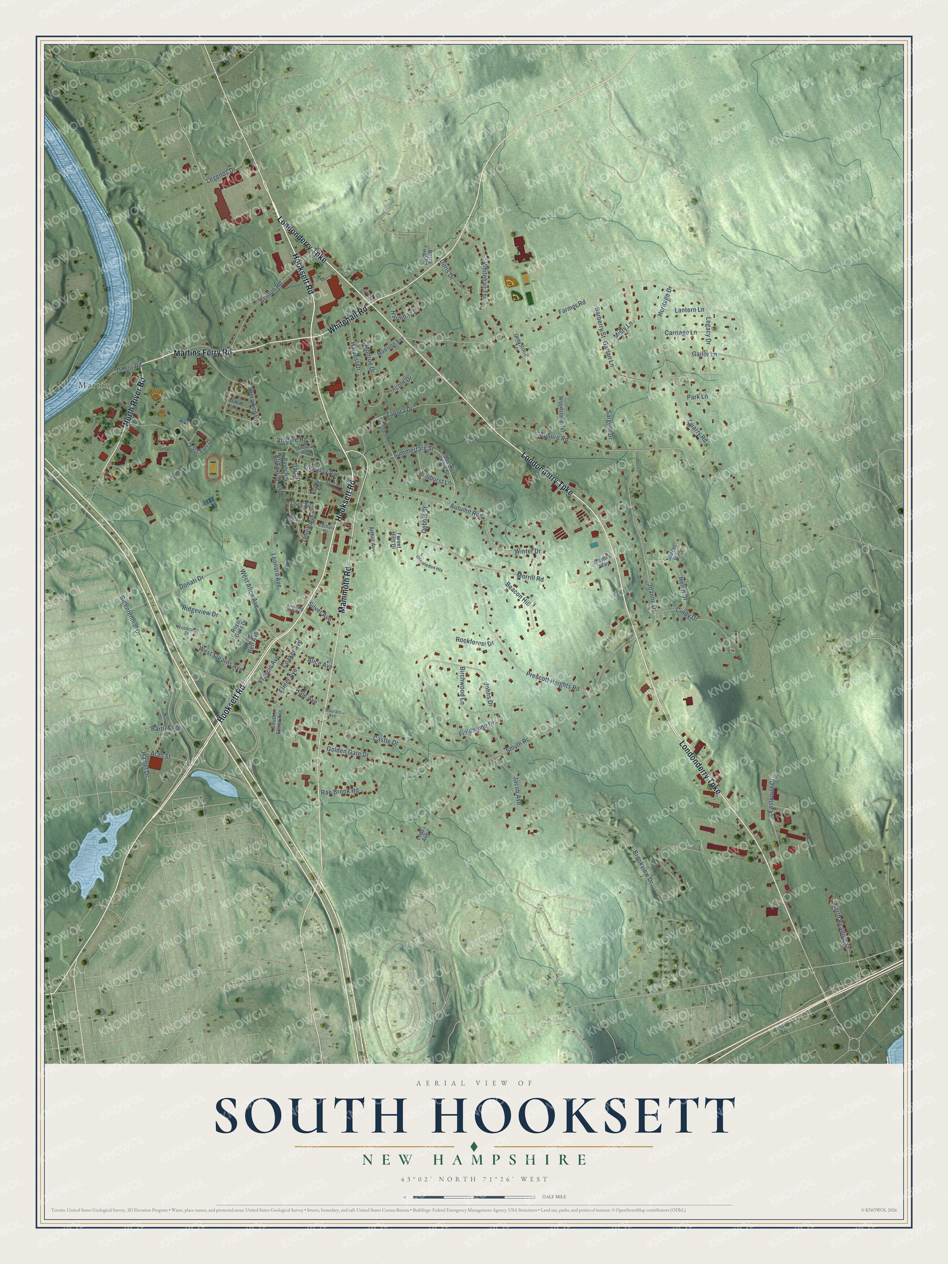
This beautifully detailed map of South Hooksett, New Hampshire was created in 2026 using aerial imagery combined with modern topographical, census, street and landmark data. It’s a one-of-a-kind view of South Hooksett that combines accurate data with a vintage aesthetic. The map shows every building in its true location, many of the roads carry their names, and the shaded topographic relief shows the shape of the land.
Explore an aerial view of South Hooksett, New Hampshire
On the map you’ll find Martin, along with Hooksett Road, Londonderry Turnpike, Martins Ferry Road, Whitehall Road, North River Road, Mammoth Road, Legends Drive, Lora Avenue, Bicentennial Drive, West Alice Avenue, Hamel Drive, and more. South Hooksett sits about 3 miles north of Manchester, 5 miles northeast of Pinardville and 8 miles south of Suncook. If you look closely you can even find your house accurately drawn in its correct location. Zoom in on the preview to look for yours.
Take a closer look at the South Hooksett map
Names on this map
These names are printed on this map.
Places: Martin.
Streets and roads: Hooksett Road, Londonderry Turnpike, Martins Ferry Road, Whitehall Road, North River Road, Mammoth Road, Legends Drive, Lora Avenue, Bicentennial Drive, West Alice Avenue, Hamel Drive, Smyth Road.
More street names, A to Z
Adam Avenue, Alice Avenue, Arah Street, Arthur Avenue, Auburn Road, Autumn Run, Barberry Street, Bartlett Street, Beacon Hill, Bell Avenue, Benton Road, Berry Hill Road, Birchwood Lane, Brookview Drive, Buddy Street, Camelot Drive, Carriage Lane, Castle Drive, Cindy Drive, Coaker Avenue, Cushing Avenue, Dart Street, Debbie Street, Depot Road, Derek Avenue, Donati Drive, Doris Drive, Eastpoint Drive, East Side Drive, Elmer Avenue, Embassy Avenue, Fairview Circle, Farmer Road, Fieldstone Drive, Forest Hills Drive, Francis Avenue, Frost Avenue, Gailor Lane, Garlan Lane, Golden Gate Drive, Greystone Terrace, Hale Avenue, Harmony Lane, Harvest Drive, Helen Drive, Heritage Drive, Jacob Avenue, Joanne Drive, Johns Drive, Kirkwood Road, Lantern Lane, Leda Avenue, Legacy Drive, Leonard Avenue, Lincoln Drive, Madison Avenue, Mallard Lane, Marcel Way, Matthew Road, Maurais Avenue, Misty Lane, Monroe Drive, Morrill Road, North Reading Street, Park Lane, Prescott Heights Road, Quarry Road, Rae Brook Road, Ridgeview Drive, Rockforest Drive, Royal Oaks Drive, Rusty Road, Sargent Drive, Sherwood Drive, Silver Avenue, South Elmer Avenue, Springwood Drive, Summerfare Street, Summer Fare Street, Sunburst Lane, Vindale Road, Waynes Way, West Stearns Avenue, Whitehall Terrace, Wimbledon Heights, Winter Drive, Woodcrest Drive, Woodstone Terrace, Zachary Drive, Zapora Drive.
See it on a wall
The South Hooksett map as a framed print. Swipe for more.


This beautifully detailed map of South Hooksett makes an attractive addition to your office, library, or den, and it can even be used to teach children the geography and history of the area. It also makes a great gift for anyone who grew up in South Hooksett or moved away. When you’re done exploring, click here to get your copy of the South Hooksett map.