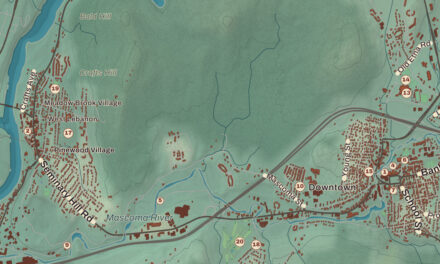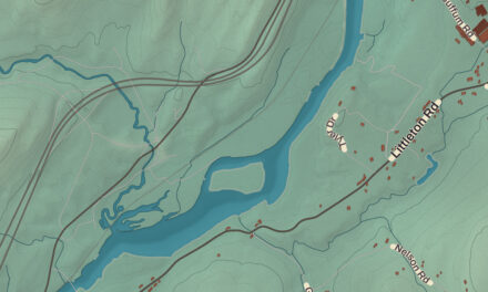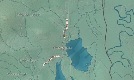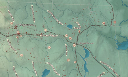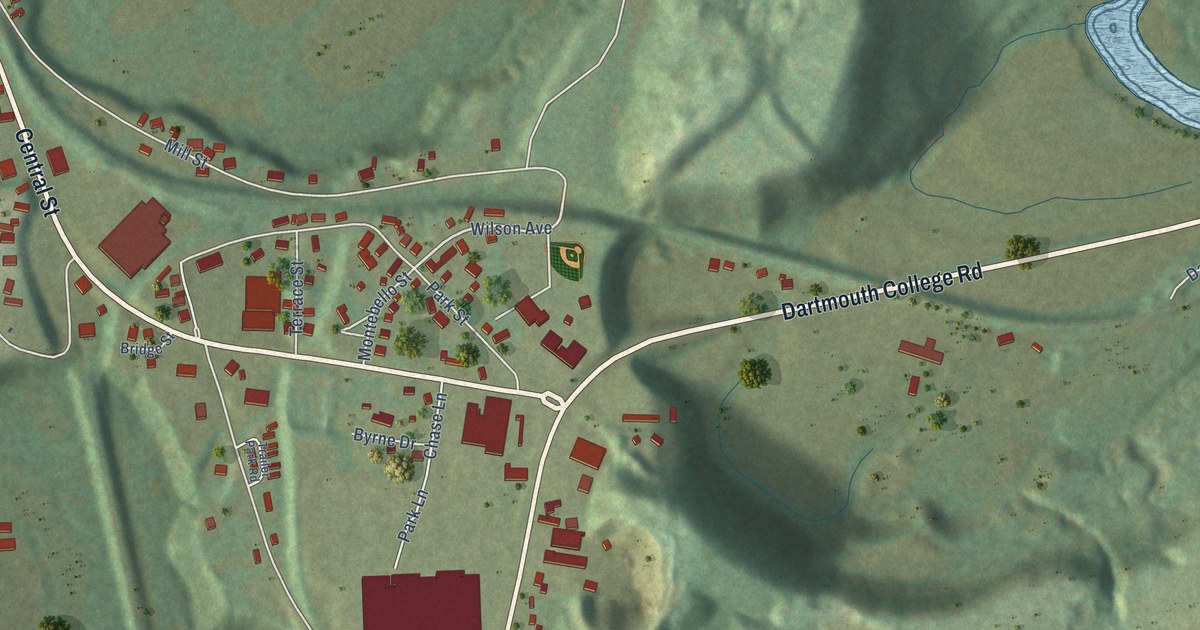
This beautifully detailed map of Woodsville, New Hampshire was created in 2026 using aerial imagery combined with modern topographical, census, street and landmark data. It’s a one-of-a-kind view of Woodsville that combines accurate data with a vintage aesthetic. The map shows every building in its true location, many of the roads carry their names, and the shaded topographic relief shows the shape of the land.
Explore an aerial view of Woodsville, New Hampshire
On the map you’ll find Jean Chamberlin South Conservation Area and Railroad Park, along with North Court Street, Monroe Road, South Court Street, Central Street, Dartmouth College Road, Dartmouth College Highway, School Lane, Wilson Avenue, Swiftwater Road, Mill Street, and more. Woodsville sits about 3 miles north of North Haverhill, 4 miles west of Mountain Lakes and 8 miles southwest of Lisbon. If you look closely you can even find your house accurately drawn in its correct location. Zoom in on the preview to look for yours.
Take a closer look at the Woodsville map
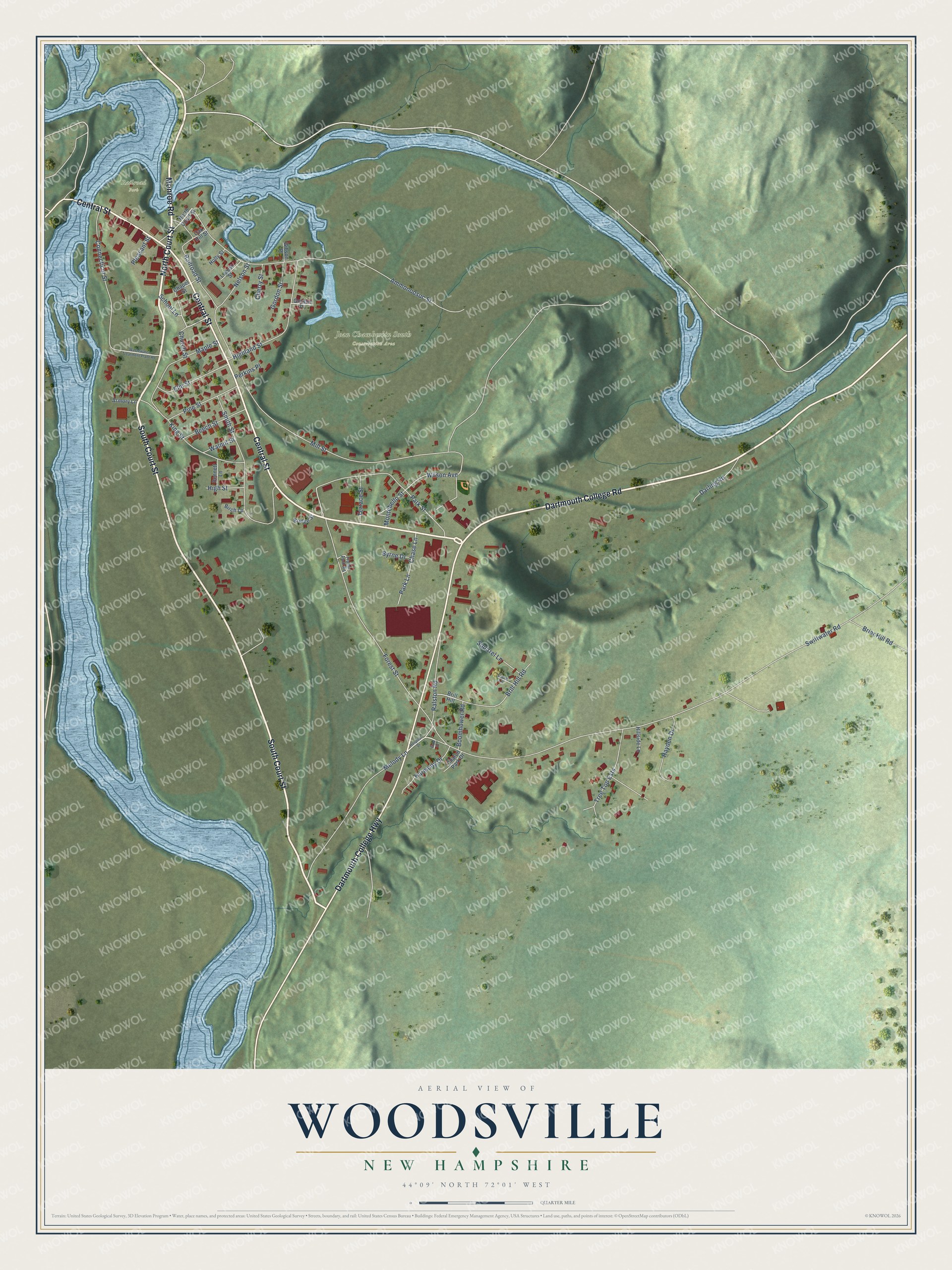
Names on this map
These names are printed on this map.
Places: Jean Chamberlin South Conservation Area and Railroad Park.
Streets and roads: North Court Street, Monroe Road, South Court Street, Central Street, Dartmouth College Road, Dartmouth College Highway, School Lane, Wilson Avenue, Swiftwater Road, Mill Street, Ammonoosuc Street, Forest Street.
More street names, A to Z
Armory Lane, Beech Street, Bennett Lane, Birch Lane, Boomhower Road, Briar Hill Road, Bridge Street, Brill Hill, Brill Hill Road, Byrne Drive, Chalon Park Drive, Chapel Street, Chase Lane, Cherry Street, Church Street, Connecticut Street, Darling Road, Dove Lane, Elm Street, Eula Drive, Gibson Place, Gordon Place, Gordon Street, Harmony Drive, Hayden Drive, Highland Street, High Street, Hillside Lane, Holly Street, Hospital Drive, King Street, Locust Street, Maple Street, Melody Lane, Montebello Street, Nelson Street, Oak Hill Street, Park Lane, Park Street, Perkins Place, Pine Street, Pleasant Street, Railroad Street, Ralston Road, Smith Street, Squirrel Lane, Terrace Street, Trailer Park Road, Tree Top Ests, Walnut Street, Wastewater Treatment Plant Road.
See it on a wall
The Woodsville map as a framed print. Swipe for more.


This beautifully detailed map of Woodsville makes an attractive addition to your office, library, or den, and it can even be used to teach children the geography and history of the area. It also makes a great gift for anyone with Woodsville roots. When you’re done exploring, click here to get your copy of the Woodsville map.