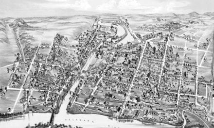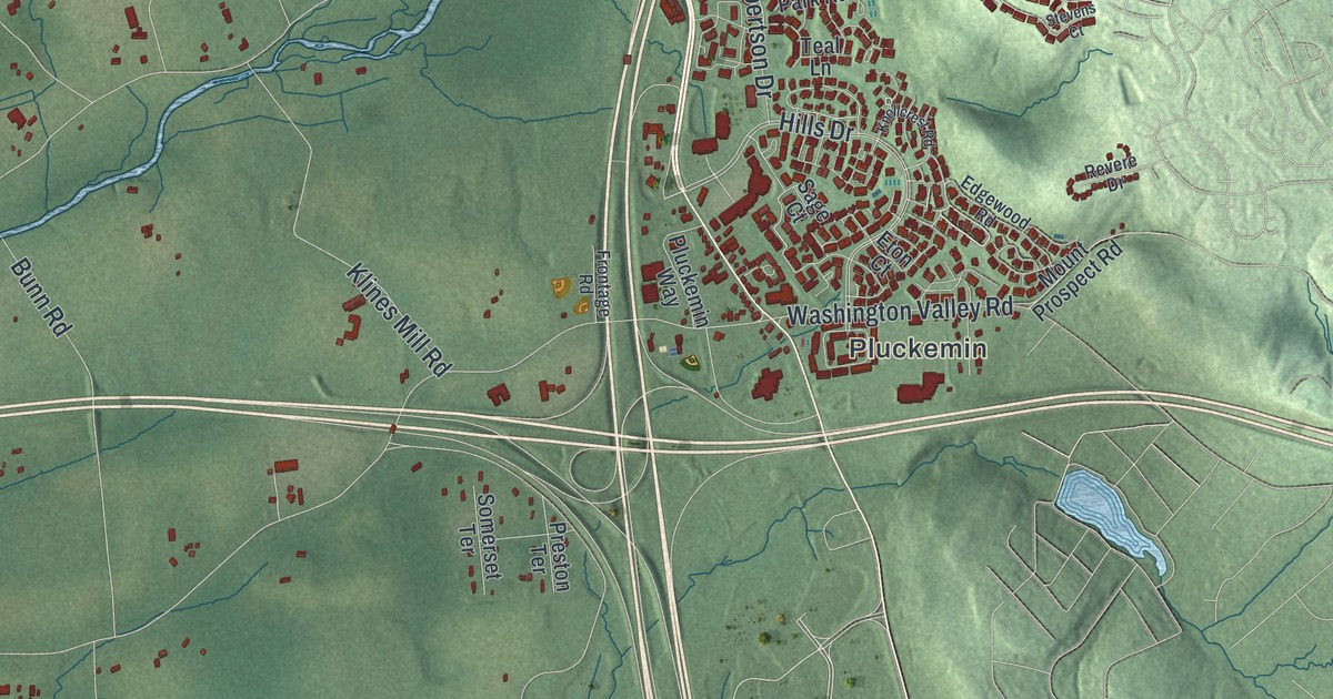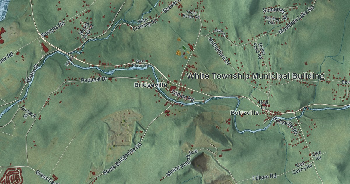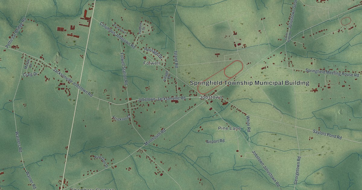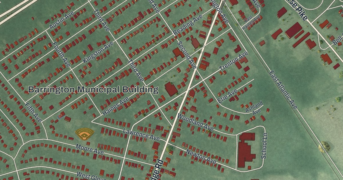
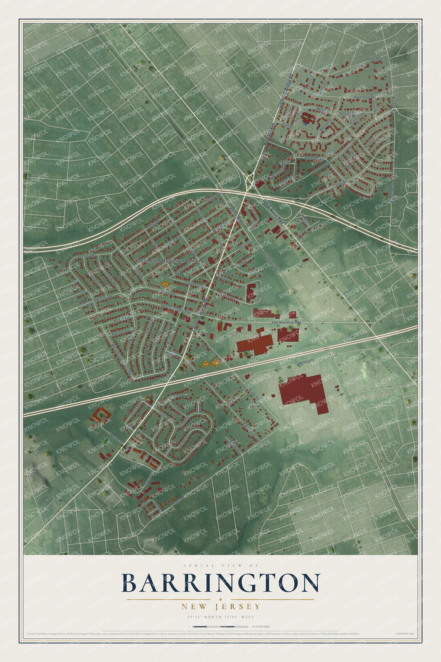
This beautifully detailed map of Barrington, New Jersey was created in 2026 using aerial imagery combined with modern topographical, census, street and landmark data. It’s a one-of-a-kind view of Barrington that combines accurate data with a vintage aesthetic. The map shows every building in its true location, many of the roads carry their names, and the shaded topographic relief shows the shape of the land.
Explore an aerial view of Barrington, New Jersey
On the map you’ll find Barrington Municipal Building and Trinity Place, along with Clements Bridge Road, Highland Avenue, White Horse Pike, Willmont Avenue, Lott Avenue, Trenton Avenue, Enders Drive, Copley Road, South Moore Avenue, Barrington Avenue, and more. If you look closely you can even find your house accurately drawn in its correct location. Zoom in on the preview to look for yours.
Did You Know?
Barrington got its name in the 1880s. William Simpson, one of the partners who developed the area, chose it. He named the place after his home in Great Barrington, Massachusetts. Barrington became a borough in 1917, formed from part of Centre Township.
Take a closer look at the Barrington map
Names on this map
These names are printed on this map.
Places: Barrington Municipal Building.
Streets and roads: Clements Bridge Road, Highland Avenue, White Horse Pike, Willmont Avenue, Lott Avenue, Trenton Avenue, Enders Drive, Trinity Place, Copley Road, South Moore Avenue, Barrington Avenue, Chesterfield Road.
More street names, A to Z
Adams Avenue, Albany Avenue, Albertson Avenue, Alyse Court, Ashland Avenue, Ashley Court, Austin Avenue, Avon Road, Baptiste Avenue, Barr Drive, Beaver Drive, Bell Avenue, Cedar Avenue, Center Street, Charles Avenue, Clark Drive, Cleveland Avenue, Clinton Avenue, Commerce Drive, Courtney Drive, Davis Road, Devon Road, Dubois Avenue, East Atlantic Avenue, East Gloucester Pike, East Haines Avenue, East Williams Avenue, Edwards Avenue, Erie Avenue, Fifth Avenue, Flower Lane, Fourth Avenue, Haines Avenue, Hancock Drive, Hearne Drive, Hobart Drive, Hutchinson Avenue, Kent Road, Kingston Avenue, Lauren Lane, Lawrence Avenue, Lenton Avenue, Letitia Lane, Little Lane, Madison Avenue, Mercer Drive, Moore Avenue, Nassau Drive North, Newton Avenue, Oak Avenue, Oakwood Road, Page Avenue, Peltoma Road, Pomona Avenue, Princeton Road, Reading Avenue, Reamer Drive, Richards Avenue, Russell Avenue, Scheina Lane, School Lane, Second Avenue, Shreve Avenue, South Nassau Drive, Tavistock Boulevard, Third Avenue, Thomas Avenue, Timber Drive, Warwick Road, Warwick Road North, Wayne Road, West First Avenue, West Gloucester Pike, West Second Avenue, West Third Avenue, West Williams Avenue, Whitman Drive, Woodland Avenue.
See it on a wall
The Barrington map as an 18 x 24 inch print in a black frame.

This beautifully detailed map of Barrington makes an attractive addition to your office, library, or den, and it can even be used to teach children the geography and history of the area. It also makes a great gift for anyone who grew up in Barrington or moved away. When you’re done exploring, click here to get your copy of the Barrington map.