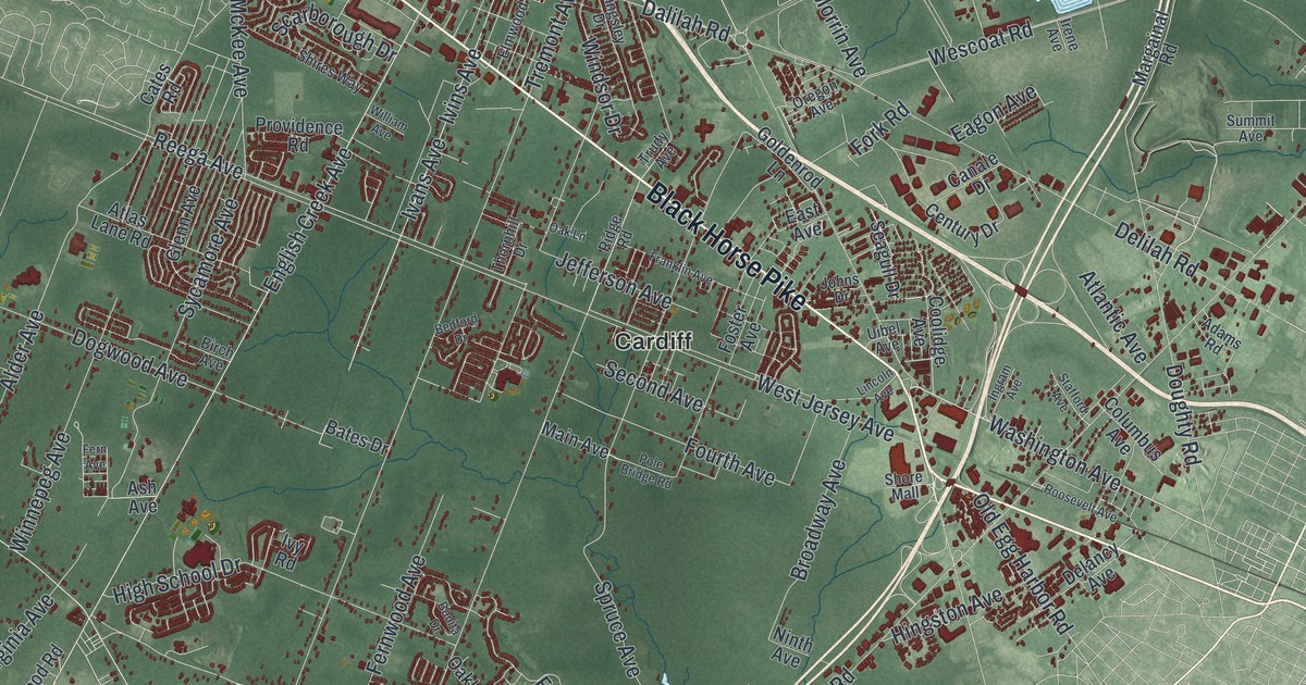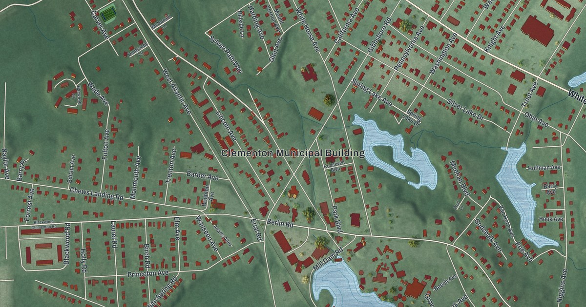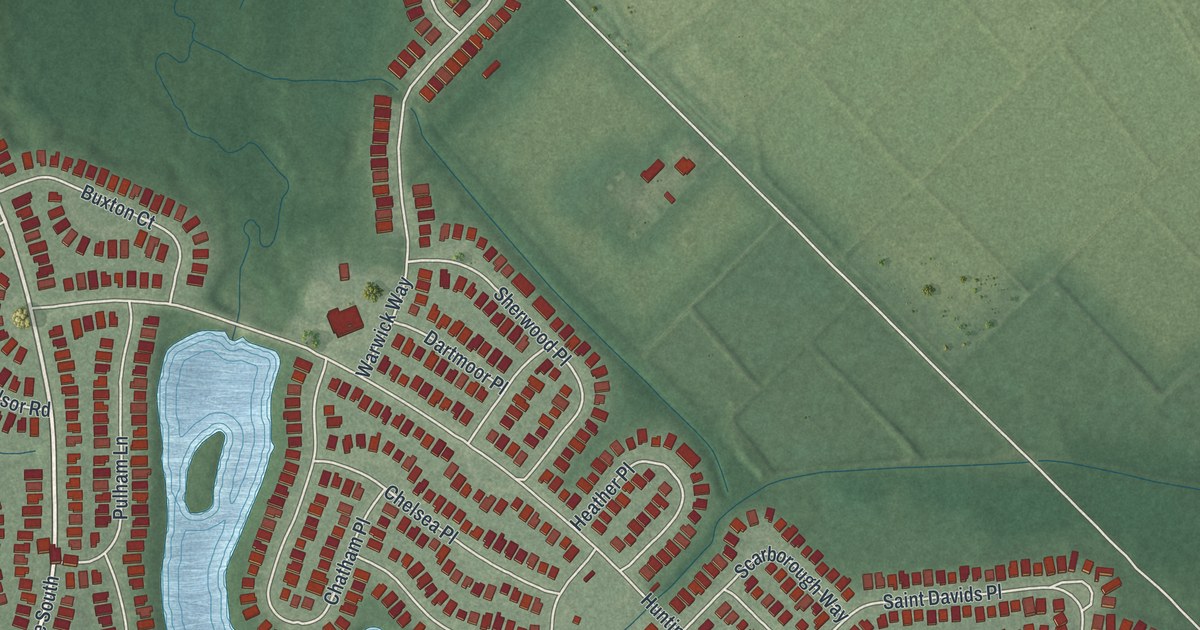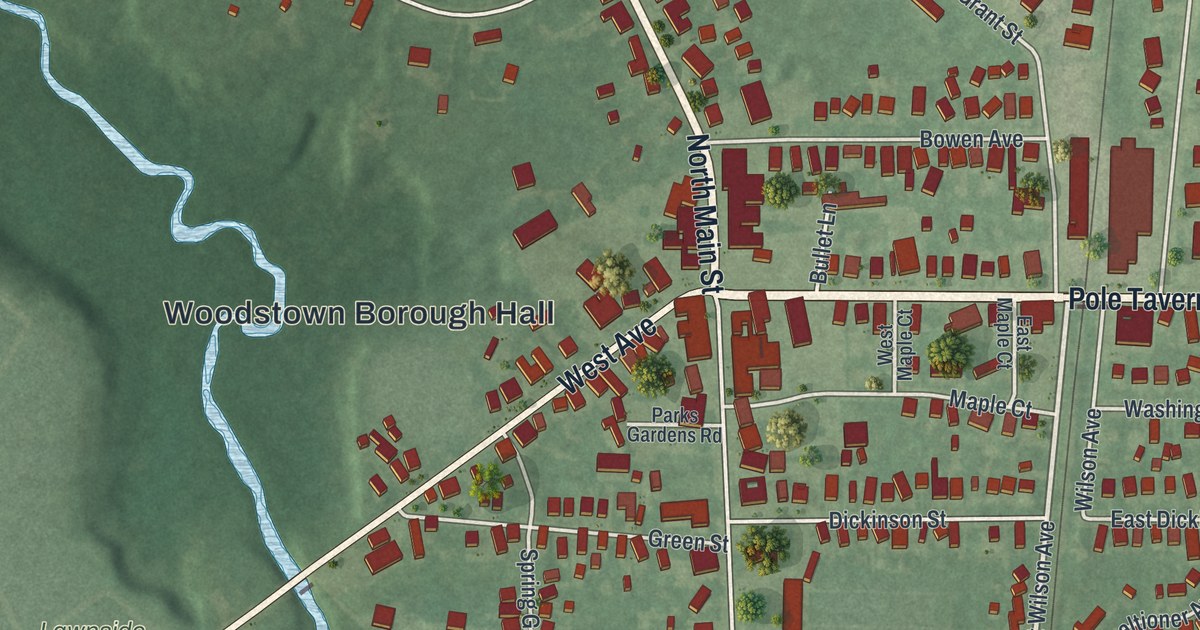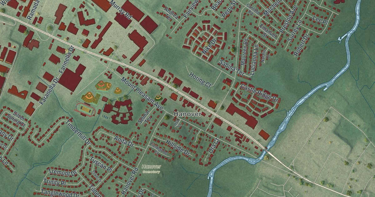
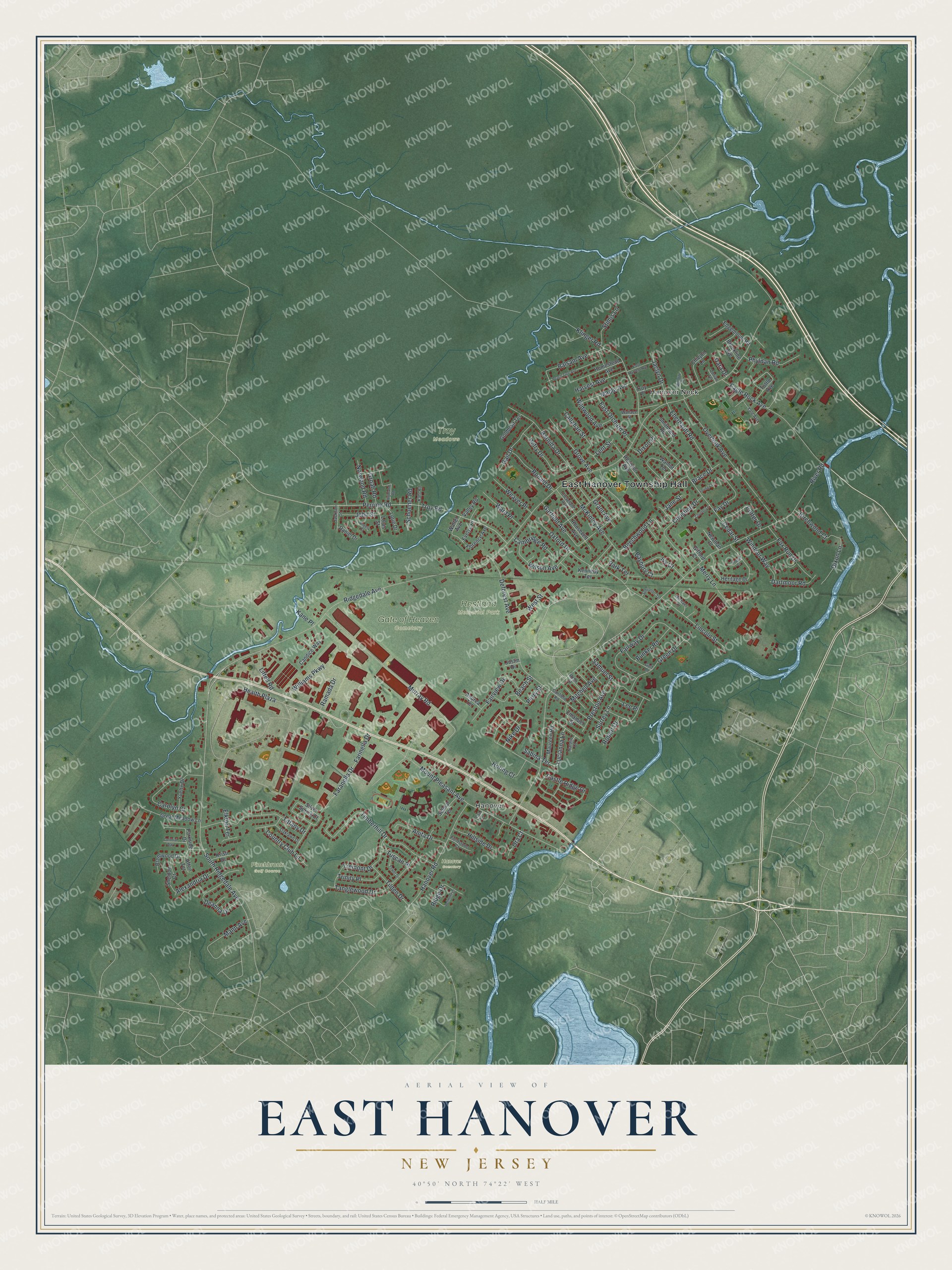
This beautifully detailed map of East Hanover, New Jersey was created in 2026 using aerial imagery combined with modern topographical, census, street and landmark data. It’s a one-of-a-kind view of East Hanover that combines accurate data with a vintage aesthetic. The map shows every building in its true location, many of the roads carry their names, and the shaded topographic relief shows the shape of the land.
Explore an aerial view of East Hanover, New Jersey
On the map you’ll find East Hanover Township Hall, Hanover, Hanover Neck, Gate of Heaven Cemetery, Pinchbrook Golf Course, Restland Memorial Park, Troy Meadows, Hanover Cemetery, and Health Plaza, along with Ridgedale Avenue, South Ridgedale Avenue, River Road, and more. If you look closely you can even find your house accurately drawn in its correct location. Zoom in on the preview to look for yours.
Did You Know?
East Hanover’s parent township was formed in 1720 and named for King George the First, of the German House of Hanover. The Whippany and Passaic rivers join around its borders, so its early name was Hanover Neck. East Hanover became its own township on March 12, 1928.
Take a closer look at the East Hanover map
Names on this map
These names are printed on this map.
Places: East Hanover Township Hall, Hanover, Hanover Neck, Gate of Heaven Cemetery, Pinchbrook Golf Course, Restland Memorial Park, Troy Meadows and Hanover Cemetery.
Streets and roads: Ridgedale Avenue, South Ridgedale Avenue, Health Plaza, River Road, Mount Pleasant Avenue, Murray Road, Perrine Road, Troy Road, McKinley Avenue, Timberhill Drive, Overlook Avenue, Deforest Avenue.
More street names, A to Z
Afton Terrace, Alexandria Drive, Andrea Terrace, Angela Court, Anita Drive, Balsam Avenue, Barnida Drive, Baybury Court, Beach Street, Beechwood Lane, Belmont Drive, Birchwood Court, Brace Drive, Brentwood Drive, Brookline Avenue, Bunker Road, Callahan Street, Cambridge Road, Candice Way, Canfield Road, Carolyn Court, Castle Ridge Drive, Cedar Street, Chicjon Lane, Christine Drive, Cleveland Avenue, Colonial Way, Country Club Lane, Courter Lane, Cutter Drive, Daniel Drive, Dara Drive, Dartmoor Road, Deanna Drive, Dixon Lane, Dixon Place, Dorian Terrace, Eagle Rock Avenue, East Harvest Avenue, East Orchard Place, Eberhardt Road, Edgemount Road, Elkton Terrace, Emanuel Street, Evelyn Place, Fairview Drive, Fairway Drive, Faranella Drive, Farinella Drive, Fay Drive, Fieldstone Court, Florence Avenue, Fox Run Drive, Gail Drive, Garfield Avenue, Gifford Court, Goldblatt Terrace, Golf Lane, Grant Avenue, Great Meadow Lane, Green Drive, Groah Road, Grove Avenue, Hanover Road, Harvest Avenue, Heritage Drive, Highland Road, Hillside Drive, Homestead Avenue, Horing Court, Ivy Court, Jackson Street, Jaclyn Drive, Jane Street, John Street, Justin Drive, Kahl Road, Kane Place, Kennedy Terrace, Klinger Road, Kristi Drive, Lee Place, Lent Street, Lincoln Street, Lisa Lane, Littell Road, Lorie Drive, Louis Street, Lucianna Lane, Mann Avenue, Maple Avenue, Maureen Road, Merry Lane, Michael Lane, Mitchell Avenue, Natalie Court, Newman Place, Nike Drive, Norwood Road, Oaklawn Drive, Ora Court, Oxford Drive, Parkside Drive, Park Terrace, Peach Tree Avenue, Peniston Avenue, Perry Street, Petry Drive, Phyldan Road, Preston Avenue, Ramada Drive, Raquel Court, Ridge Drive, Robert Drive, Rohn Street, Ronald Drive, Roosevelt Avenue, Sabina Terrace, Samuel Street, Schoener Road, Schroeder Terrace, Selmar Terrace, Sheldon Court, Silver Spring Court, Smithfield Road, Stimis Lane, Surrey Lane, Tanglewood Drive, Tiffany Drive, Tilden Drive, Tower Drive, Tremont Drive, Trinity Place, Troy Place, Tuscan Place, Tuttle Avenue, Valley Road, Wallace Street, Walnut Terrace, Walter Avenue, Ward Place, Weaver Place, West Street, Wildwood Avenue, Williams Parkway, Willow Place, Wilson Avenue, Windsor Way, Yale Avenue, Young Court, Yvette Drive.
See it on a wall
The East Hanover map as an 18 x 24 inch print in a black frame.

This beautifully detailed map of East Hanover makes an attractive addition to your office, library, or den, and it can even be used to teach children the geography and history of the area. It also makes a great gift for someone who left East Hanover and still calls it home. When you’re done exploring, click here to get your copy of the East Hanover map.