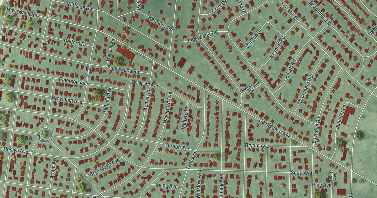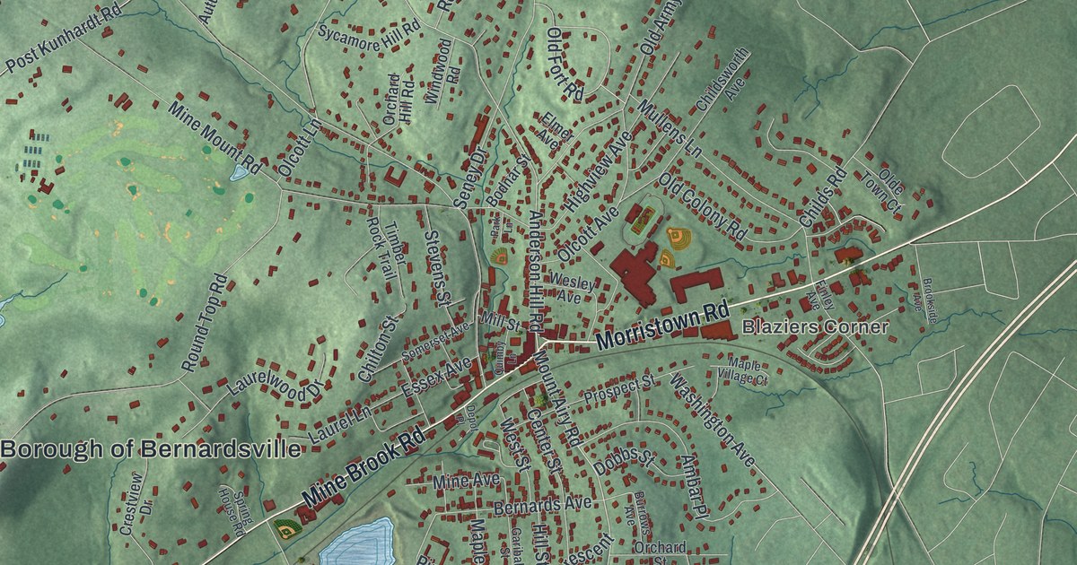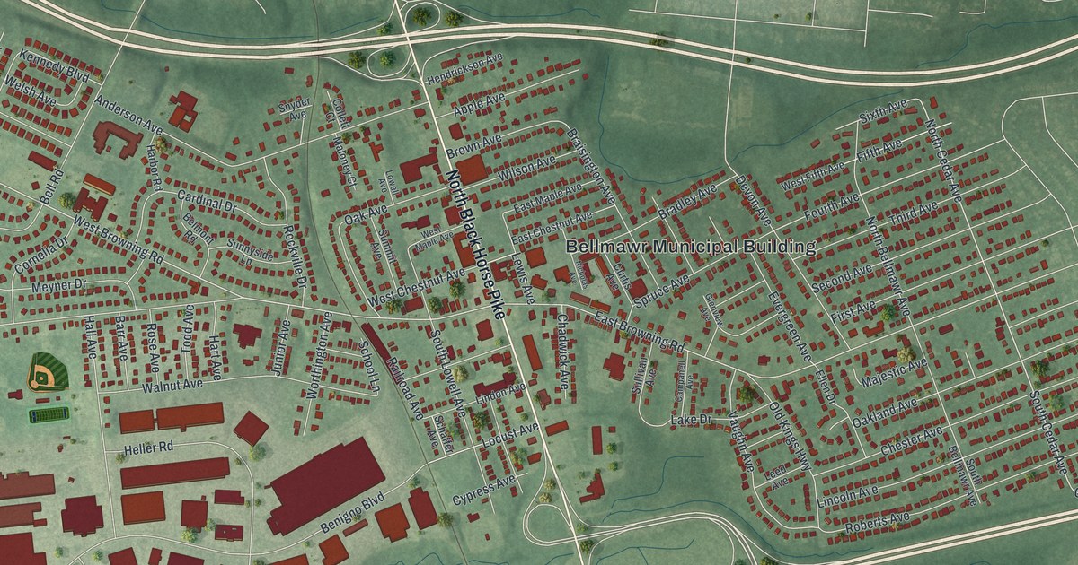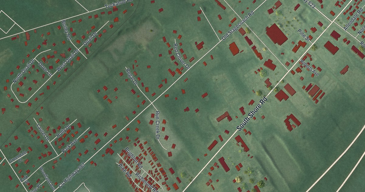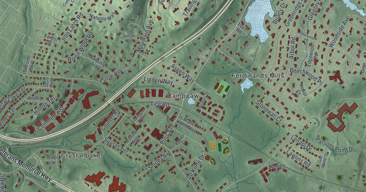
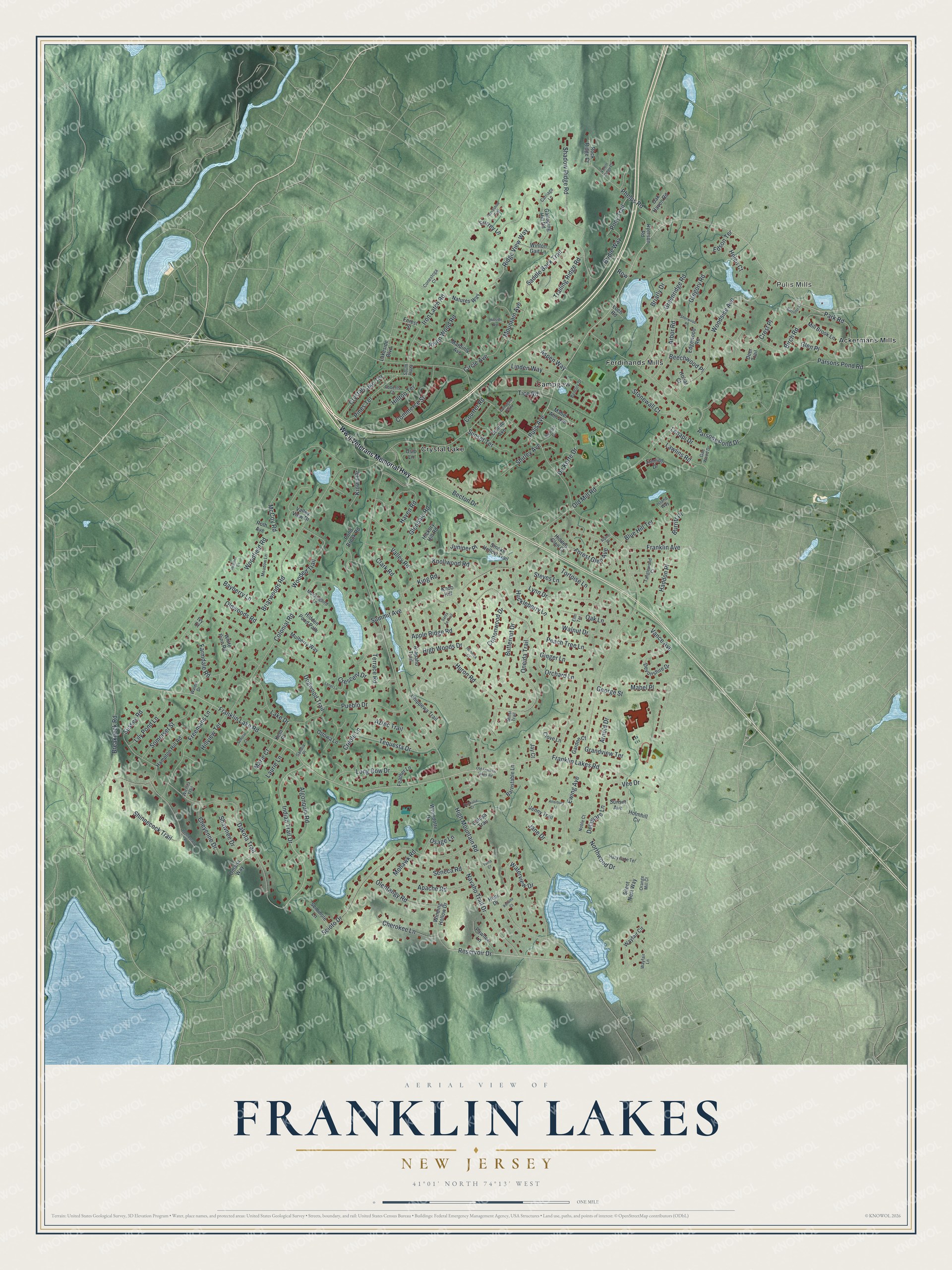
This beautifully detailed map of Franklin Lakes, New Jersey was created in 2026 using aerial imagery combined with modern topographical, census, street and landmark data. It’s a one-of-a-kind view of Franklin Lakes that combines accurate data with a vintage aesthetic. The map shows every building in its true location, many of the roads carry their names, and the shaded topographic relief shows the shape of the land.
Explore an aerial view of Franklin Lakes, New Jersey
On the map you’ll find Pulis Mills, Ackermans Mills, Campgaw, Crystal Lake, and Ferdinands Mills, along with Pulis Avenue, Franklin Lakes Road, Dakota Trail, Franklin Lake Road, Indian Trail Drive, Reservoir Drive, McCoy Road, and more. If you look closely you can even find your house accurately drawn in its correct location. Zoom in on the preview to look for yours.
Did You Know?
The borough of Franklin Lakes was created in 1922 from parts of an older township. Its namesake was William, the son of Benjamin Franklin. William was a firm Loyalist and the final royal governor of colonial New Jersey.
Take a closer look at the Franklin Lakes map
Names on this map
These names are printed on this map.
Places: Pulis Mills, Ackermans Mills, Campgaw, Crystal Lake and Ferdinands Mills.
Streets and roads: Pulis Avenue, Franklin Lakes Road, Dakota Trail, Franklin Lake Road, Indian Trail Drive, Reservoir Drive, McCoy Road, High Mountain Road, Colonial Road, Ewing Avenue, Franklin Avenue, Summit Avenue.
More street names, A to Z
Algonquin Road, Alpine Drive, Apache Road, Apple Ridge Road, Arapaho Trail, Arbor Road, Arnold Drive, Aspen Way, Atterbury Lane, Aztec Trail, Barnstable Lane, Barrister Court, Bayberry Lane, Becton Drive, Beechwood Place, Bender Court, Bentley Drive, Birch Road, Blue Hill Terrace, Breakneck Road, Briarly Drive, Briarwoods Road, Bridle Way, Burritt Place, Butternut Drive, Calusa Trail, Campgaw Plaza, Carriage Lane, Cherokee Lane, Cheyenne Drive, Chippewa Trail, Circle Avenue, Clark Road, Clove Lane, Commerce Street, Conestoga Court, Connie Avenue, Cottonwood Drive, Courter Road, Creole Lane, Crescent Drive, Crest Place, Crystal Lake Terrace, Deer Trail, De Korte Drive, Delaware Lane, Devonshire Drive, Dogwood Trail, Edgewood Road, Edson Terrace, Elm Terrace, Farmdale Road, Feather Lane, Forest Glen Avenue, Forest Ridge Court, Forest Street, Freemans Lane, Gae Wood Drive, Galloping Hill Road, Garden Court, George Street, Ginger Lane, Glendale Road, Glen Place, Grandview Terrace, Greenridge Road, Gregory Road, Haddon Place, Hampton Hill Road, Haven Road, Hazy Gate Terrace, Heather Lane, Helen Court, Hemlock Court, Hickory Hill Road, Hidden Glen Court, Hidden Pond Path, High Woods Drive, Hillside Avenue, Hilltop Terrace, Hillview Terrace, Hobar Court, Holmhill Circle, Hopi Drive, Horseshoe Trail, Huckleberry Lane, Huron Road, Iron Latch Road, Island Way, Ivy Court, Jane Drive, Jay Court, Jenny Trail, Juniper Place, Kent Place, King Road, Kiowa Drive, Knob Hill, Knollwood Road, Kuhkulia Court, Kuliana Court, Lake Drive, Lakeside Boulevard, Laurie Lane, Lawlins Road, Lenapi Drive, Lenel Lane, Lily Pond Lane, Linden Way, Loch Road, Long Bow Drive, Lynn Drive, Mabel Ann Avenue, Mabel Place, Mardinly Avenue, Marie Court, Meadow Lane, Mill Brook Lane, Minsi Trail, Mockingbird Lane, Mohawk Road, Mountain Avenue, Mulberry Way, Natures Way, Navaho Trail Drive, Noble Court, Northwood Drive, Oak Haven Road, Oak Lane, Old Franklin Lakes Road, Old Mill Road, Oldwoods Road, Olentangy Road, Omaha Way, Oneida Trail, Orange Mill Court, Orchard Lane, Osage Lane, Osio Lane, Ottowa Lane, Park Road, Parsons Pond Drive, Parsons Pond Road, Pawnee Lane, Peach Tree Lane, Penobscott Place, Phelps Road, Pines Terrace, Pond Brook Road, Pony Trail, Pueblo Drive, Ridge View Way, Riven Wood Road, Roberts Court, Rock Ridge Court, Roth Avenue, Row, Ryerson Road, Saddle Back Trail, Sandia Place, Santa Fe Trail, Scholar Court, Scioto Drive, Seminole Lane, Seneca Road, Shadow Ridge Road, Shawnee Drive, Sherwood Place, Shinnecock Trail, Shirley Avenue, Silent Nest Way, Smoke Hollow Trail, Somerset Street, South Plaza, Sterling Drive, Steves Lane, Stonewall Court, Sunset Avenue, Sunset Terrace, Surrey Lane, Sussex Road, Tanglewood Court, Tequesta Drive, Terrace Road, Tice Road, Tortoise Lane, Trailing Ridge Road, Valley Road, Valley View Drive, Vance Avenue, Vee Drive, Walder Drive, Walnut Drive, Waterview Drive, Wayfair Circle, Wayfair Lane, White Pine Road, Wichita Trail, Winding Hollow Drive, Winton Gait Lane, Wooded Trail, Woodfield Road, Woodside Avenue, Ww II Veterans Memorial Highway, Wyandotte Drive, Yuma Court.
See it on a wall
The Franklin Lakes map as an 18 x 24 inch print in a black frame.

This beautifully detailed map of Franklin Lakes makes an attractive addition to your office, library, or den, and it can even be used to teach children the geography and history of the area. It also makes a great gift for anyone with Franklin Lakes roots. When you’re done exploring, click here to get your copy of the Franklin Lakes map.