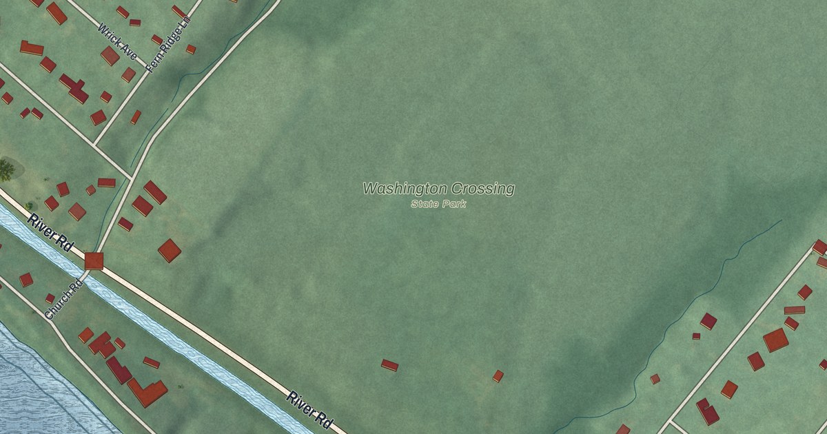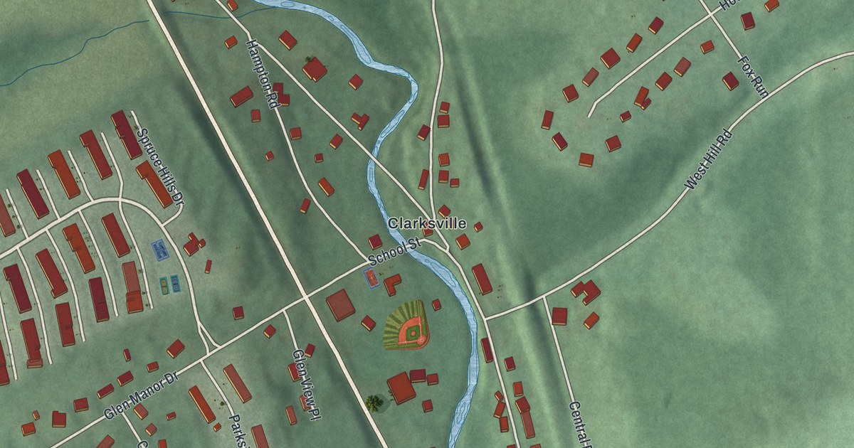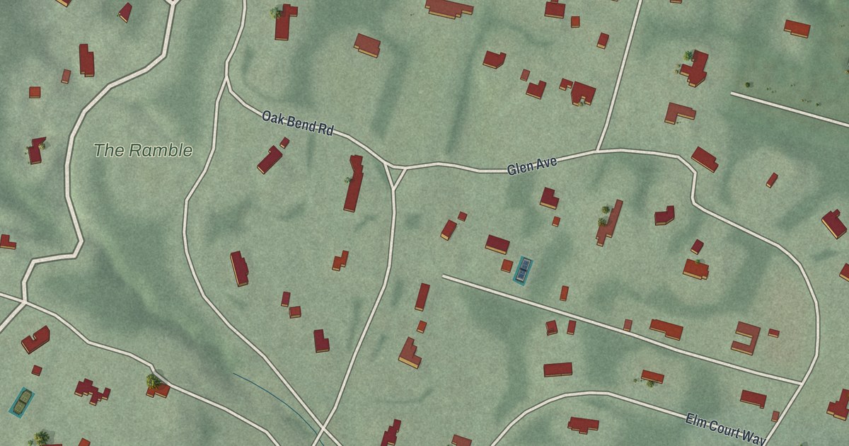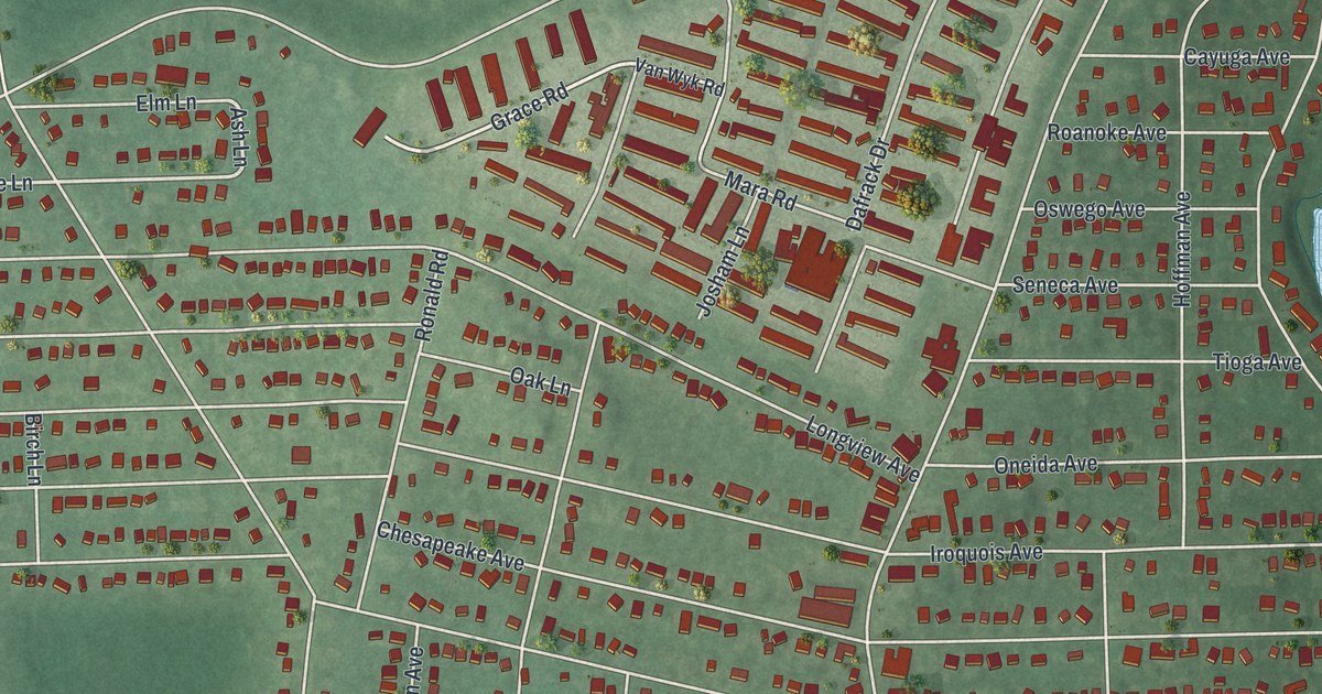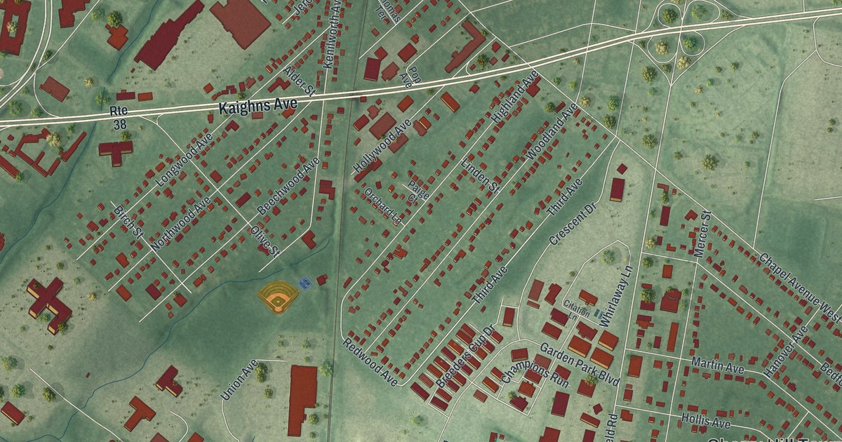
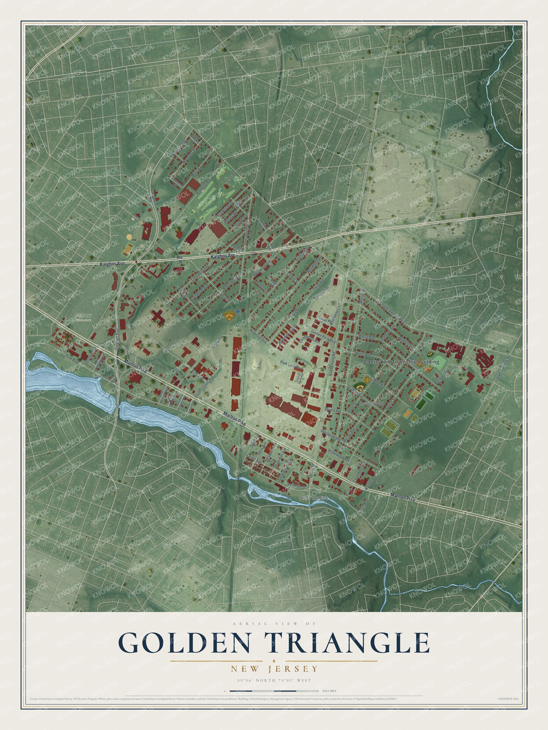
This beautifully detailed map of Golden Triangle, New Jersey was created in 2026 using aerial imagery combined with modern topographical, census, street and landmark data. It's a modern aerial view of Golden Triangle in Camden County, New Jersey, that combines modern data with a vintage aesthetic. The roads feature printed names, and if you look closely you can find your exact house accurately shown in its correct location.
Explore an aerial view of Golden Triangle, New Jersey
On this map you'll find Cherry Hill Township Building, Calvary Cemetery, Stoys Landing, Locustwood, Marlton Pike, Kaighns Avenue, Cuthbert Boulevard, Wisteria Avenue, Champions Run, Haddonfield Road, Redwood Avenue, Grove Street, and more. Each red shape is a building, so zoom in on the preview and look for yours.
Golden Triangle is a community in Camden County. The Census Bureau counted 4,769 people here in 2020. The map prints the town name in its title panel, with the coordinates below it.
Take a closer look at the Golden Triangle map
Names on this map
These names are printed on this map.
Places: Cherry Hill Township Building, Calvary Cemetery, Stoys Landing and Locustwood.
Streets and roads: Marlton Pike, Kaighns Avenue, Cuthbert Boulevard, Wisteria Avenue, Champions Run, Haddonfield Road, Redwood Avenue, Grove Street, Park Boulevard, South Cornell Avenue, Franklin Avenue, Chapel Avenue West.
More street names, A to Z
Alder Street, Bedford Avenue, Beechwood Avenue, Beideman Avenue, Birch Street, Breeders Cup Drive, Chambers Avenue, Churchill Downs Way, Citation Lane, Cooper Landing Road, Crescent Drive, Curtis Avenue, Dale Avenue, Delaware Avenue, Delaware Avenue South, Donahue Avenue, Dover Street, Edward Avenue, Essex Avenue, Farrell Avenue, Fulton Street, Garden Park Boulevard, Graham Avenue, Hampton Road, Hanover Avenue, Helena Avenue, Highland Avenue, Hollis Avenue, Hollywood Avenue, Jerome Avenue, Kenilworth Avenue, King Avenue, Laurel Avenue, Lawrence Street, Linden Street, Longwood Avenue, Magnolia Avenue, Main Street, Marlboro Avenue, Martin Avenue, Mercer Street, Merchant Street, Murray Avenue, Northwood Avenue, Olive Street, Orchard Lane, Paige Court, Park Lane Boulevard, Park Place Drive, Penn Avenue, Pop Avenue, Route 38, Sayer Avenue, Severn Avenue, Sherwood Avenue, South Delaware Avenue, South Harvard Avenue, South Union Avenue, South Washington Avenue, Third Avenue, Thomas Terrace, Union Avenue, Warren Avenue, Weld Avenue, West Hoffman Avenue, Whirlaway Lane, Williams Street, Woodland Avenue, Wynnwood Avenue.
See it on a wall
The Golden Triangle map as a framed print. Swipe for more.


Created by KNOWOL in 2026. The buildings are small red shapes, the roads carry their printed names, and shaded relief shows the shape of the land. The title panel reads "AERIAL VIEW OF GOLDEN TRIANGLE, NEW JERSEY" with 39°56' NORTH 75°02' WEST.
It suits a den, a classroom or a front hall, and it makes a gift for anyone with Golden Triangle roots. Open the preview and find the block you know. See sizes and frames for the Golden Triangle map.