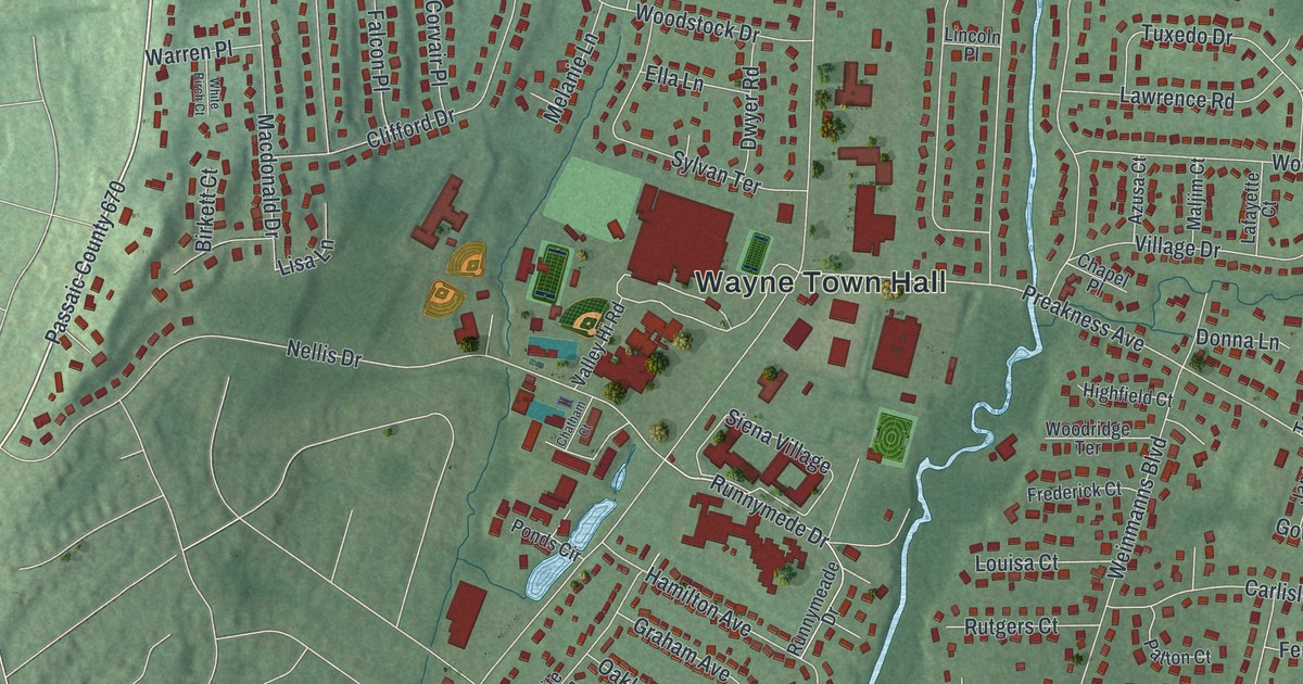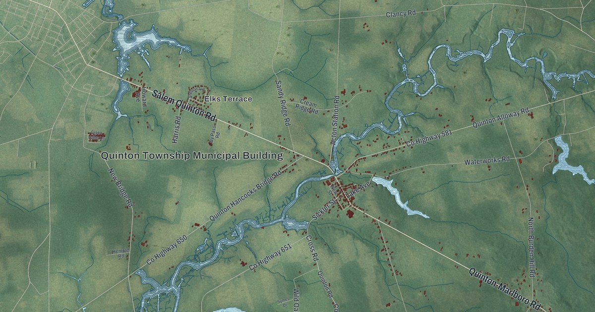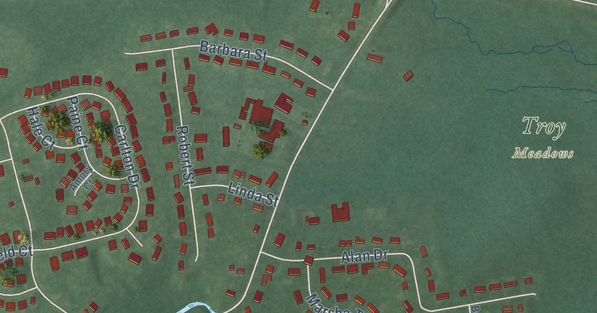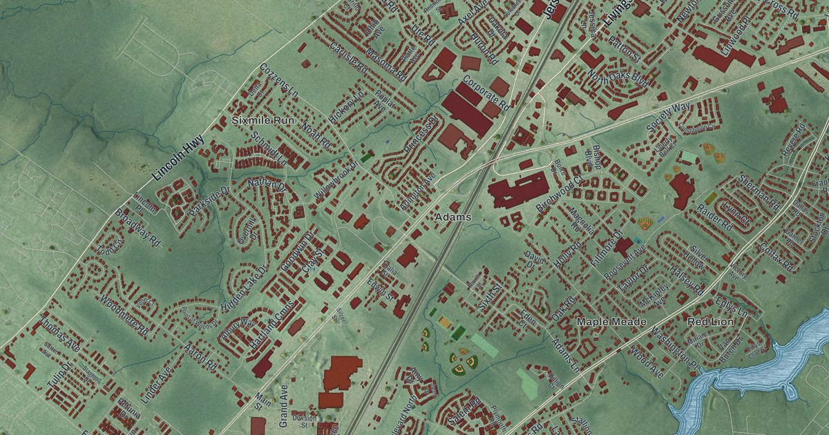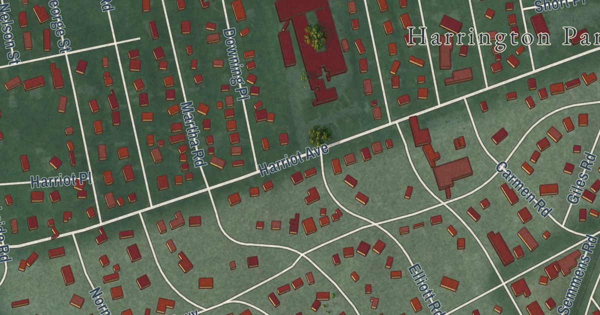
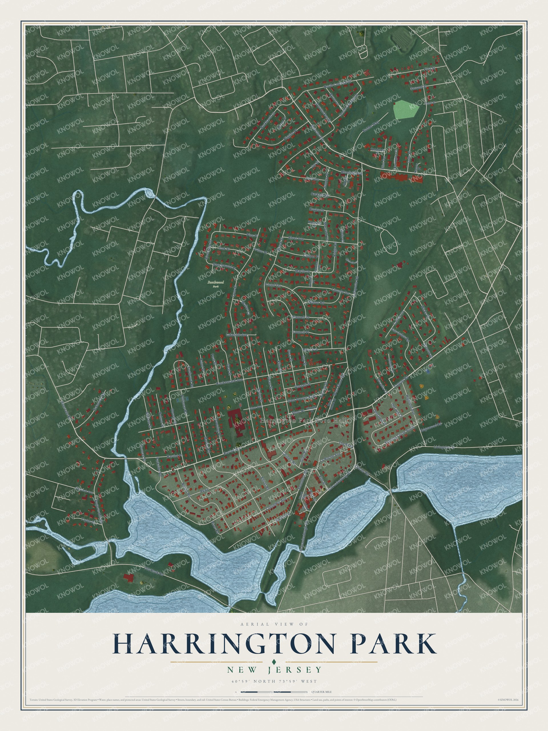
This beautifully detailed map of Harrington Park, New Jersey was created in 2026 using aerial imagery combined with modern topographical, census, street and landmark data. It’s a one-of-a-kind view of Harrington Park that combines accurate data with a vintage aesthetic. The map shows every building in its true location, many of the roads carry their names, and the shaded topographic relief shows the shape of the land.
Explore an aerial view of Harrington Park, New Jersey
On the map you’ll find Harrington Park Boro Hall and Beechwood Park, along with Tappan Road, Schraalenburg Road, Harriot Avenue, Blanche Avenue, The Parkway, Giles Road, Lynn Street, Lafayette Road, Hackensack Avenue, La Roche Avenue, and more. If you look closely you can even find your house accurately drawn in its correct location. Zoom in on the preview to look for yours.
Did You Know?
Harrington Park is named for the Harring family, early settlers of the region. Their name first went to the larger Harrington Township. On March 29, 1904, the borough was formed from parts of that township, Washington Township and Closter.
Take a closer look at the Harrington Park map
Names on this map
These names are printed on this map.
Places: Harrington Park Boro Hall and Beechwood Park.
Streets and roads: Tappan Road, Schraalenburg Road, Harriot Avenue, Blanche Avenue, The Parkway, Giles Road, Lynn Street, Lafayette Road, Hackensack Avenue, La Roche Avenue, Martha Road, Parkway.
More street names, A to Z
Amelia Court, Arcadia Court, Arthur Place, Beechwood Place, Blauvelt Drive, Bluefield Avenue, Bogerts Mill Road, Brook Street, Burkhardt Lane, Byrne Lane, Carlton Lane, Carmen Road, Closter Road, Columbus Avenue, Cooper Place, Council Place, Deal Street, Dean Street, Demarest Place, Dimas Court, Dora Street, Dorotockey Drive, Downing Place, Eastbrook Road, Eckerson Road, Edgewood Road, Ehret Avenue, Elliott Road, Elm Street, First Street, Flint Terrace, Florence Road, Friend Terrace, George Street, Glen Avenue, Glen Avenue East, Greenway, Guy Street, Harrington Court, Harriot Place, Hazel Street, Henmar Terrace, Herring Street, Herron Court, Higgins Place, Highland Avenue, Jay Street, Kline Street, Kohring Circle South, Kolder Way, Lakeside Avenue, Lee Avenue, Lincoln Terrace, Livingston Street, Lohs Place, Manor Road, Martin Drive, Maryann Lane, Michelle Court, Names Court, Nelson Street, Norma Road, North Colonial Drive, Oak Street, Old Hook Road, Old Jug Court, Parkhill Road, Parkside Road, Park Street, Pascack Avenue, Peat Street, Penn Street, Pine Place, Pondside Place, Raymond Street, Ridge Road, Riker Avenue, River Road, Rivervale Road, Riverview Drive, Rugen Drive, Russell Place, Sandra Place, Schraelenburgh Road, Second Street, Semmens Road, Shortal Place, Short Place, South Avenue, South Colonial Drive, Spring Street, Stella Court, Taylor Place, Third Street, Thomas Street, Van Orden Road, Vincent Place, Walter Court, Ward Way, West Shore Drive, West Shore Road, Wicks Drive, William Street.
See it on a wall
The Harrington Park map as an 18 x 24 inch print in a black frame.

This beautifully detailed map of Harrington Park makes an attractive addition to your office, library, or den, and it can even be used to teach children the geography and history of the area. It also makes a great gift for someone who left Harrington Park and still calls it home. When you’re done exploring, click here to get your copy of the Harrington Park map.