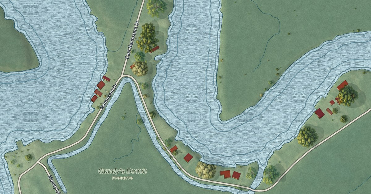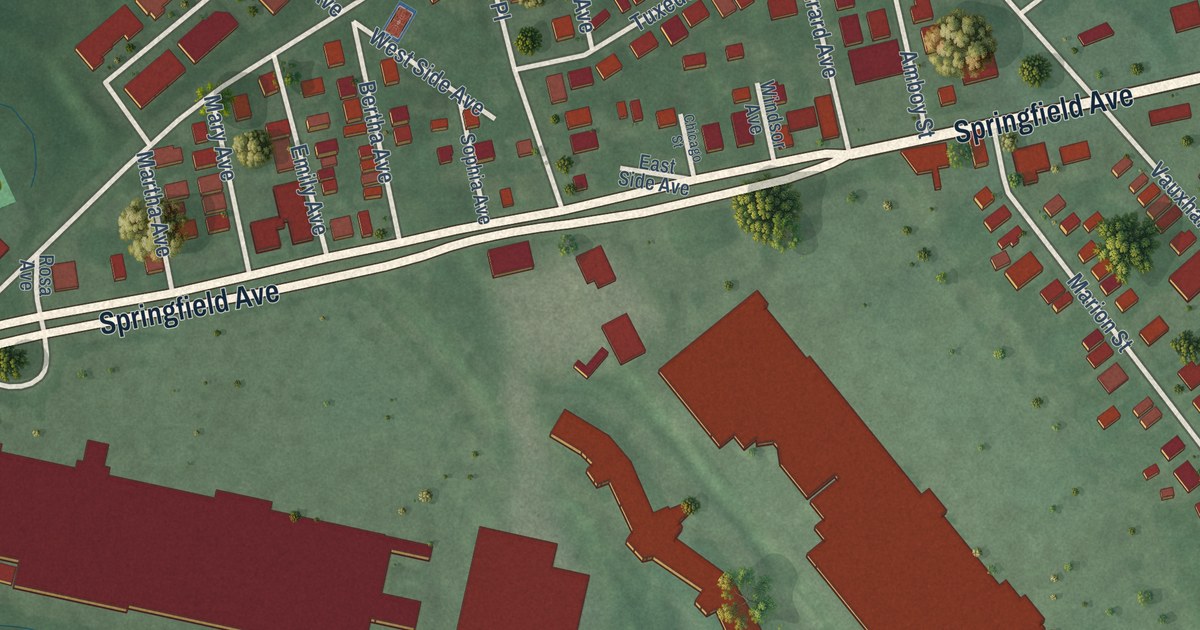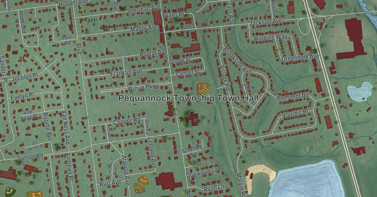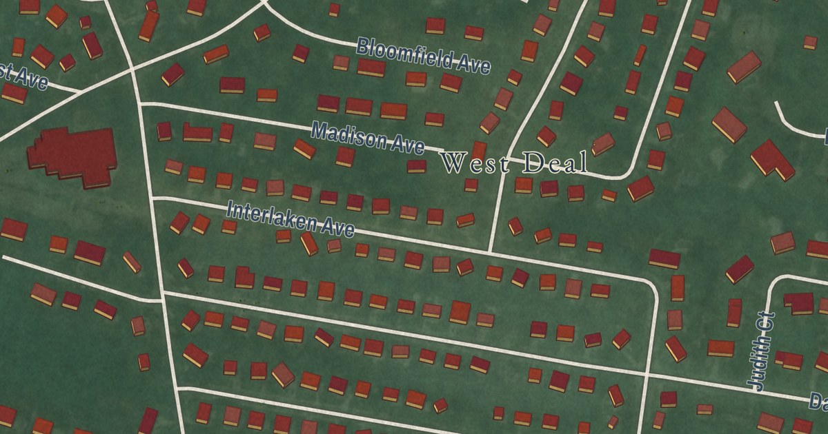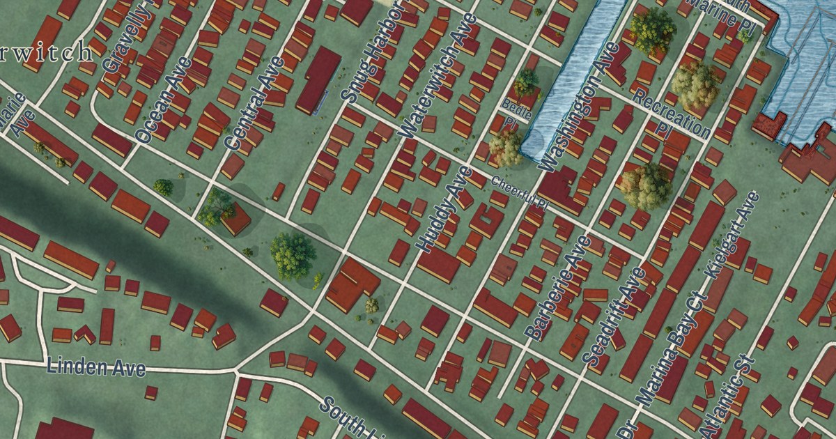
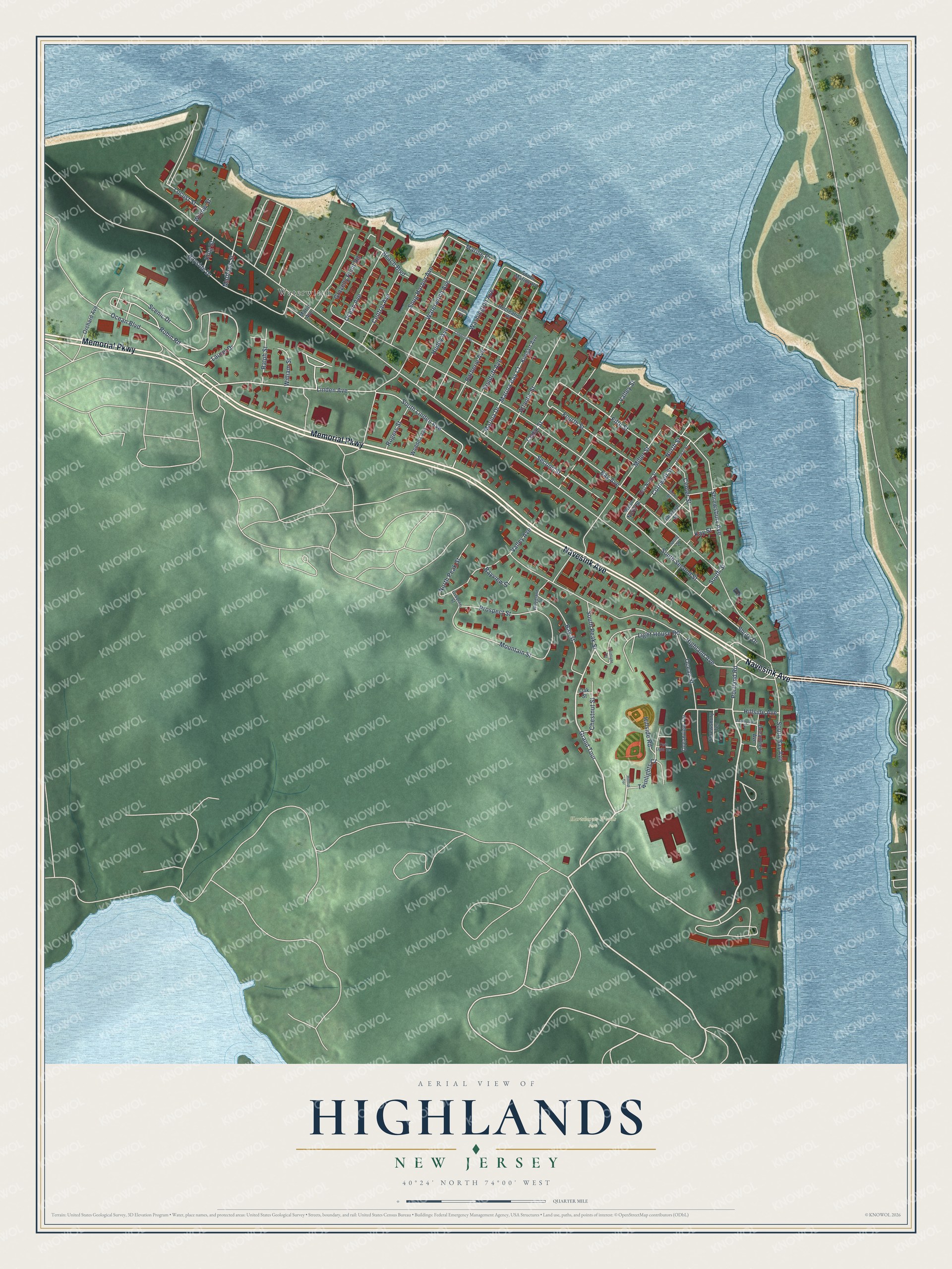
This beautifully detailed map of Highlands, New Jersey was created in 2026 using aerial imagery combined with modern topographical, census, street and landmark data. It’s a one-of-a-kind view of Highlands that combines accurate data with a vintage aesthetic. The map shows every building in its true location, many of the roads carry their names, and the shaded topographic relief shows the shape of the land.
Explore an aerial view of Highlands, New Jersey
On the map you’ll find Hartshorne Woods Park, Waterwitch, and Grand Tour, along with Memorial Parkway, Navesink Avenue, Portland Road, South Peak Street, Highland Avenue, Laurel Drive, Linden Avenue, William Street, Robin Road, and more. If you look closely you can even find your house accurately drawn in its correct location. Zoom in on the preview to look for yours.
Did You Know?
Gertrude Ederle spent every summer in Highlands and learned to swim at the Miller Street beach. She trained by swimming from Sandy Hook to the Highlands Bridge. In 1926 she was the first woman to swim across the English Channel. She came back in 1975 to dedicate a park bearing her name.
Take a closer look at the Highlands map
Names on this map
These names are printed on this map.
Places: Hartshorne Woods Park and Waterwitch.
Streets and roads: Memorial Parkway, Navesink Avenue, Grand Tour, Portland Road, South Peak Street, Highland Avenue, Laurel Drive, Linden Avenue, William Street, Robin Road, Scenic Drive, Cedar Street.
More street names, A to Z
Atlantic Street, Barberie Avenue, Bay Avenue, Bayside Drive, Bay Street, Bayview Street, Beach Boulevard, Bedle Place, Center Street, Central Avenue, Cheerful Place, Chestnut Street, Cornwall Street, Cornwell Street, East North Street, Fifth Street, Fourth Street, Gravelly Point Road, Hillside Avenue, Hillside Road, Hilltop Terrace, Huddy Avenue, Jackson Street, John Street, Kay Street, Kielgart Avenue, King Street, Light House Road, Locust Street, Marie Avenue, Marina Bay Court, Marina Drive, Marine Place, Mathews Street, Miller Street, Mountain Street, North Peak Street, North Street, Oak Street, Ocean Avenue, Ocean Boulevard, Ocean Street, Oceanview Avenue, Oceanview Terrace, Orchard Avenue, Osborne Street, Prospect Street, Ralph Street, Recreation Place, Rogers Street, Seadrift Avenue, Second Street, Shore Drive, Shrewsbury Avenue, Shrewsbury Terrace, Snug Harbor Avenue, South Bay Avenue, South Linden Avenue, South Marine Place, South Second Street, South Street, Spring Street, Thompson Street, Twinlights Court, Twinlight Terrace, Twin Light Terrace, Valley Avenue, Valley Street, Waddell Avenue, Washington Avenue, Waterwitch Avenue, West North Street, Willow Street, Woodland Street.
See it on a wall
The Highlands map as an 18 x 24 inch print in a black frame.

This beautifully detailed map of Highlands makes an attractive addition to your office, library, or den, and it can even be used to teach children the geography and history of the area. It also makes a great gift for someone who left Highlands and still calls it home. When you’re done exploring, click here to get your copy of the Highlands map.