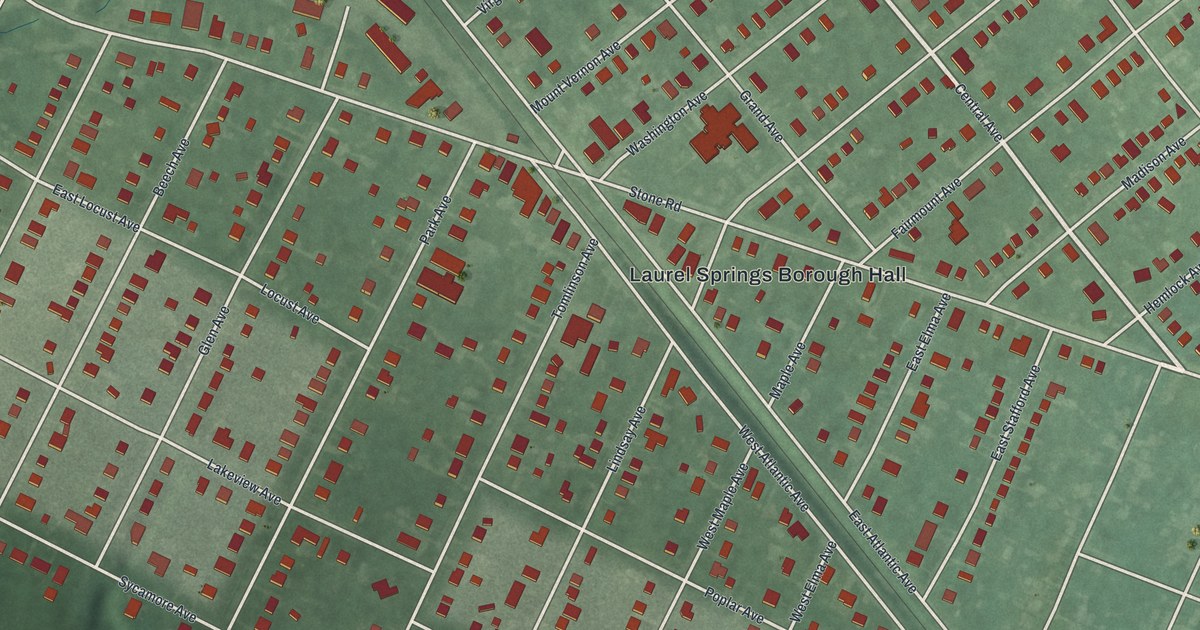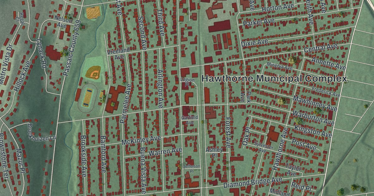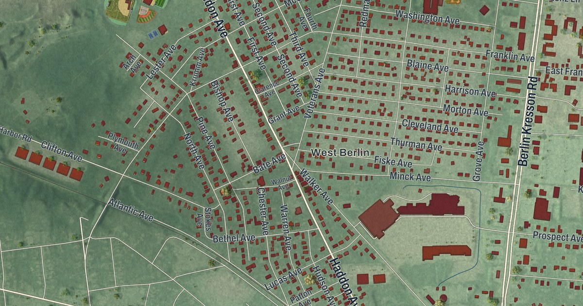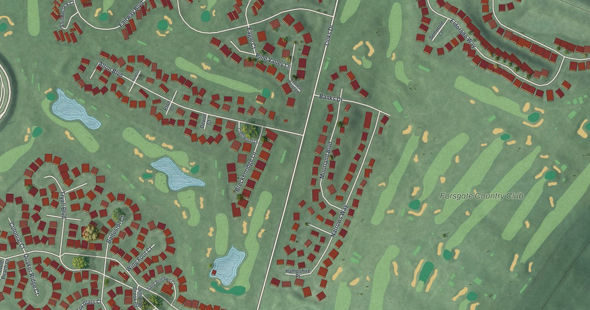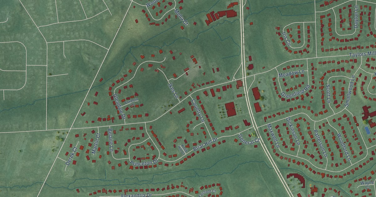
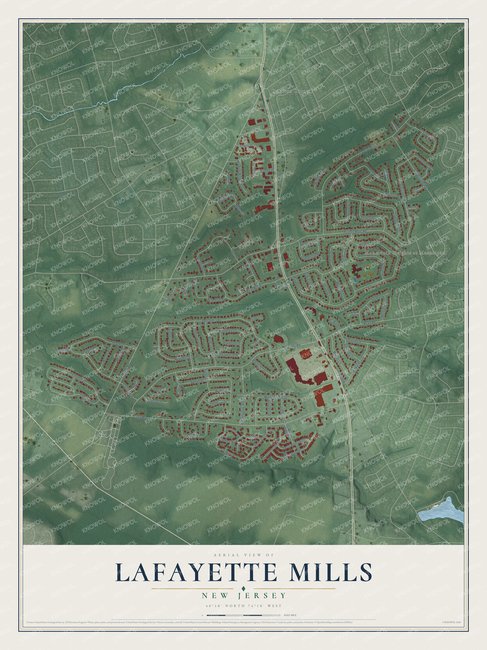
This beautifully detailed map of Lafayette Mills, New Jersey was created in 2026 using aerial imagery combined with modern topographical, census, street and landmark data. It’s a one-of-a-kind view of Lafayette Mills that combines accurate data with a vintage aesthetic. The map shows every building in its true location, many of the roads carry their names, and the shaded topographic relief shows the shape of the land.
Explore an aerial view of Lafayette Mills, New Jersey
On the map you’ll find Monmouth Heights at Manalapan and Gordons Corner, along with Tennent Road, Longstreet Road, Taylors Mills Road, Craig Road, Symmes Road, Lafayette Mills Road, Alexandria Drive, Sutton Drive, Devon Drive, Thomas Drive, and more. If you look closely you can even find your house accurately drawn in its correct location. Zoom in on the preview to look for yours.
Did You Know?
From Internet Archive: "Ely, daughter of Horatio (first) and Helena (Conover) Ely, Abraham's Mill, School District No. 5, near Freehold Township, 1839, Abrahams, Simon, bought Black's Mills, Manalapan Township, 1841, Abrams, William owned Lafayette Mills, Manalapan Township prior to 1844, Academy, building at Holmdel, previous to 1820, references to."
Lafayette Mills is a community in Monmouth County.
Take a closer look at the Lafayette Mills map
Names on this map
These names are printed on this map.
Places: Monmouth Heights at Manalapan and Gordons Corner.
Streets and roads: Tennent Road, Longstreet Road, Taylors Mills Road, Craig Road, Symmes Road, Lafayette Mills Road, Alexandria Drive, Sutton Drive, Devon Drive, Thomas Drive, Molly Pitcher Drive, Knox Lane.
More street names, A to Z
Abilene Lane, Adams Court, Allen Court, Alyssa Lane, Arbor Court, Argyle Lane, Barrister Lane, Belaire Lane, Belle Terre Drive, Briar Hill Drive, Caitlin Way, Carlisle Court, Castleton Court, Catlett Court, Center Drive, Century Way, Chamber Lane, Chatham Drive, Cherry Hill Lane, Clinton Drive, Cobb Court, Colonial Court, Colony Lane, Corporate Center Drive, Country Lane, Darby Court, Dartmoor Drive, Dayton Lane, Derek Court, Derry Meeting Drive, Dickinson Lane, Dorchester Way, Drew Court, Edwards Lane, Essex Circle, Fairfield Court, Forman Court, Forman Lane, Foxboro Lane, Gainsborough Court, General Court, Glendale Drive, Grayson Lane, Greenfield Road, Gristmill Drive, Hancock Lane, Ikes Lane, Iris Circle, Jennifer Lane, Knob Hill Court, Lightfoot Court, Lincolnshire Drive, Livingston Lane, Logan Lane, Madison Court, Martin Court, Maxwell Lane, McIntosh Lane, Meadow Lane, Meha Court, Mercer Lane, Micki Terrace, Monterey Lane, Narrowbrook Court, Newport Drive, Ogden Lane, Patterson Lane, Plymouth Lane, Pond Road, Princeton Drive, Regal Road, Reston Road, Robertsville Road, Royal Court, Rumford Way, Ryan Road, Salem Lane, Scott Lane, Smallwood Lane, Steward Lane, Terence Drive, Tiffany Court, Topanga Court, Towne Drive, Tracy Drive, Varnum Lane, Washingtons Advance, Wayne Court, Wildflower Court, Wilson Court, Winding Woods Way, Winfield Drive, Woodford Lane, Woodland Circle.
See it on a wall
The Lafayette Mills map as a framed print. Swipe for more.


This beautifully detailed map of Lafayette Mills makes an attractive addition to your office, library, or den, and it can even be used to teach children the geography and history of the area. It also makes a great gift for someone who left Lafayette Mills and still calls it home. When you’re done exploring, click here to get your copy of the Lafayette Mills map.