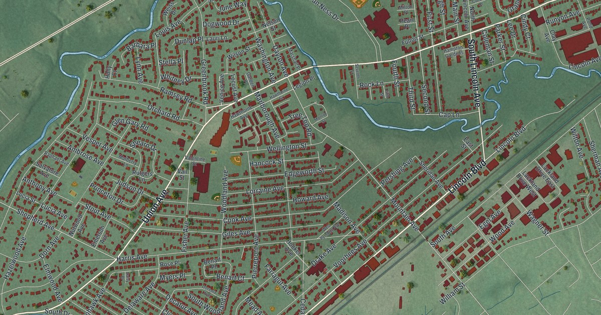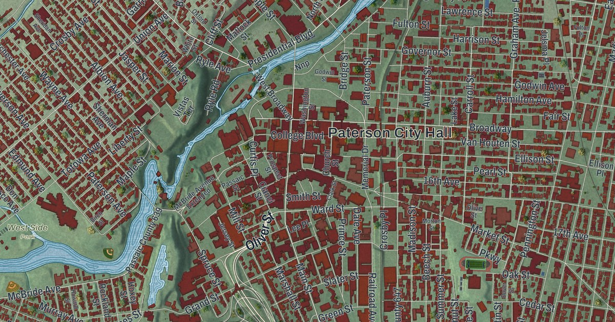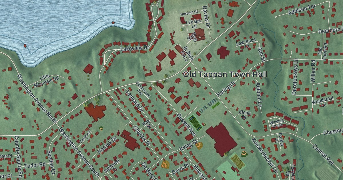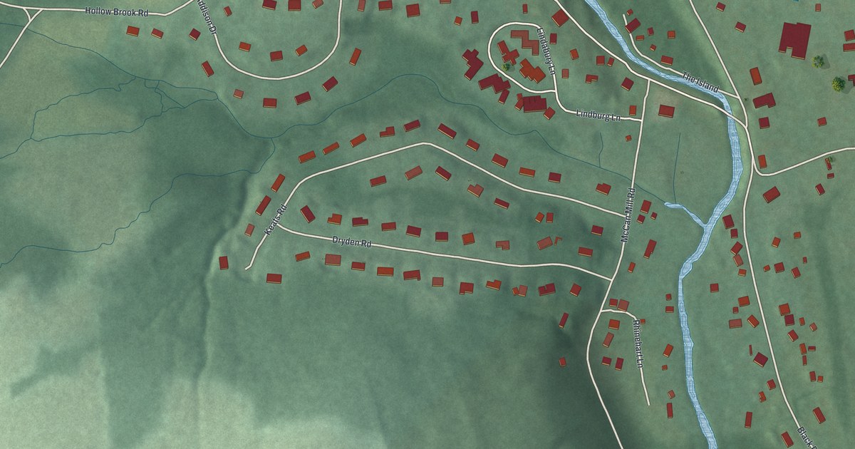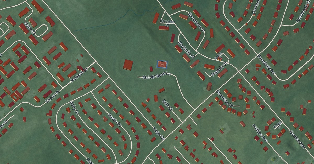
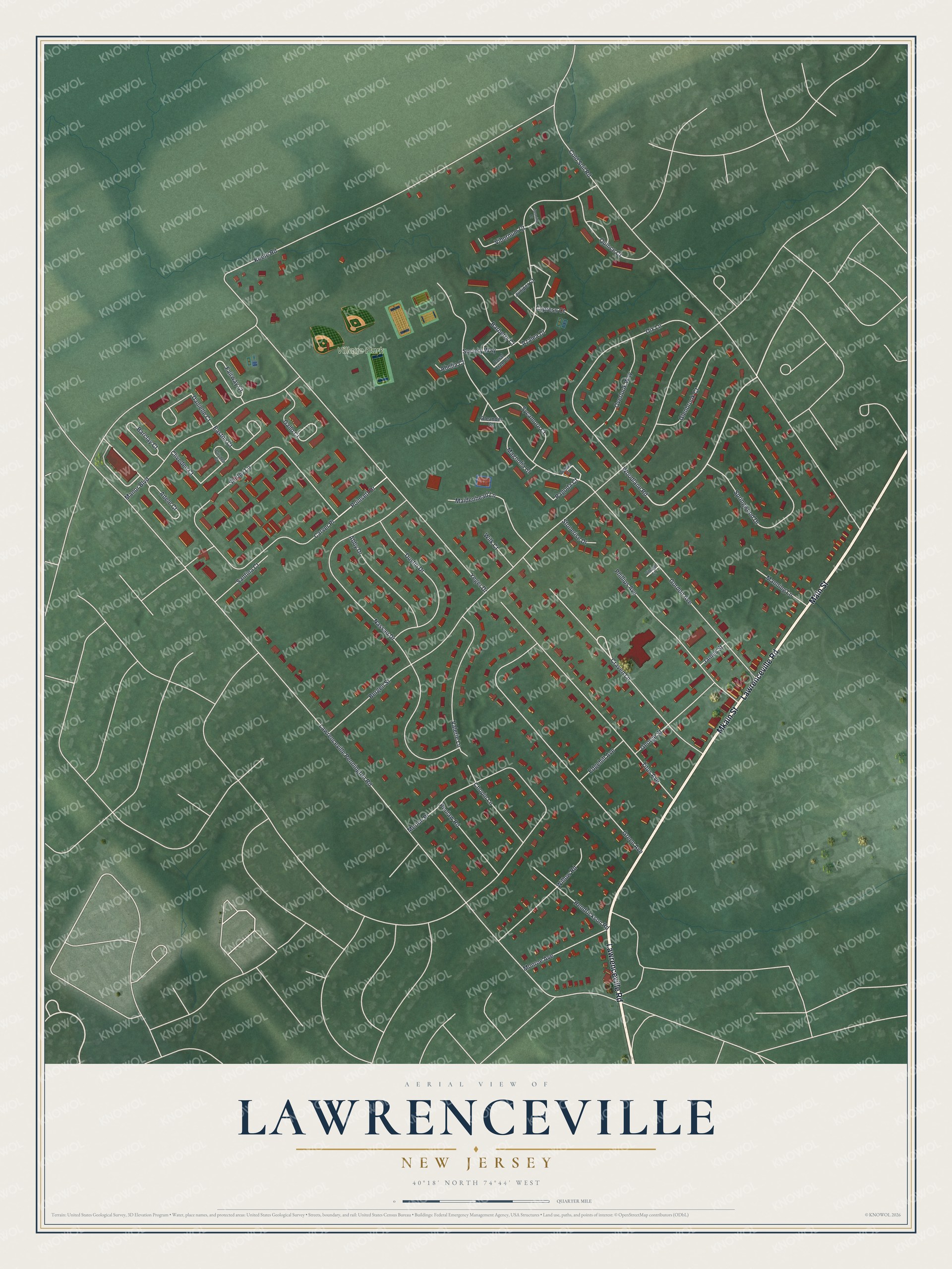
This beautifully detailed map of Lawrenceville, New Jersey was created in 2026 using aerial imagery combined with modern topographical, census, street and landmark data. It's a modern aerial view of Lawrenceville in Mercer County, New Jersey, that combines modern data with a vintage aesthetic. The roads feature printed names, and if you look closely you can find your exact house accurately shown in its correct location.
Explore an aerial view of Lawrenceville, New Jersey
On this map you'll find Village Park, Lawrenceville Road, Main Street, Mkain Street, Woodlane Road, Craven Lane, Poinsett Drive, Lawrenceville Pennington Road, Keefe Road, Bergen Street, Gordon Avenue, Cold Soil Road, and more. Each red shape is a building, so zoom in on the preview and look for yours.
Lawrenceville is a community in Mercer County. The Census Bureau counted 3,751 people here in 2020. The map prints the town name in its title panel, with the coordinates below it.
Take a closer look at the Lawrenceville map
Names on this map
These names are printed on this map.
Places: Village Park.
Streets and roads: Lawrenceville Road, Main Street, Mkain Street, Woodlane Road, Craven Lane, Poinsett Drive, Lawrenceville Pennington Road, Keefe Road, Bergen Street, Gordon Avenue, Cold Soil Road, Nassau Drive.
More street names, A to Z
Abby Drive, Abelia Court, Adele Court, Ardisia Court, Azalea Court, Barberry Court, Barclay Court, Carver Place, Chopin Lane, Clivden Court, Cliveden Court, Coral Tree Court, Cypress Court, Danielle Court, Dix Lane, Dustin Drive, Easton Court, Edgehill Avenue, Fairway Court, Gallo Court, George Street, Glenbrook Court, Green Avenue, Hendrickson Road, James Street, Jasmine Court, Juniper Court, Magnolia Court, Maidenhead Lane, Manning Lane, Manor Boulevard, Merion Place, Monroe Avenue, Oleander Court, Overlook Way, Pagoda Court, Penlaw Road, Phillips Avenue, Quince Court, Santina Court, Shirley Lane, Society Way, Springwood Drive, Stonerise Drive, Sycamore Court, Titus Avenue, Valerie Lane, Viburnum Court, Village Court, Wilk Court, Willow Road, Yeger Drive.
See it on a wall
The Lawrenceville map as a framed print. Swipe for more.


Created by KNOWOL in 2026. The buildings are small red shapes, the roads carry their printed names, and shaded relief shows the shape of the land. The title panel reads "AERIAL VIEW OF LAWRENCEVILLE, NEW JERSEY" with 40°18' NORTH 74°44' WEST.
It looks right in a kitchen, an office or a den, and it's a gift for anyone who grew up in Lawrenceville or moved away. Open the preview and find your street. See sizes and frames for the Lawrenceville map.