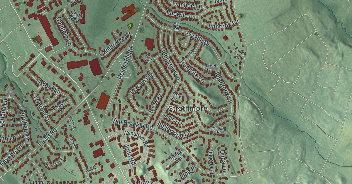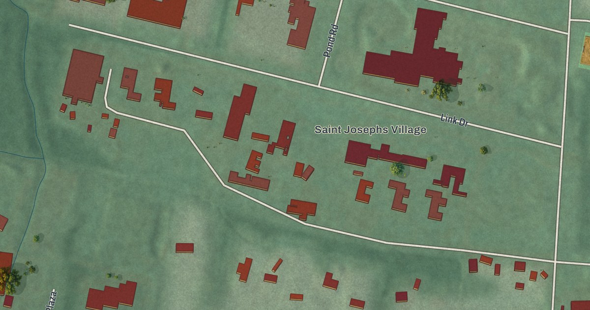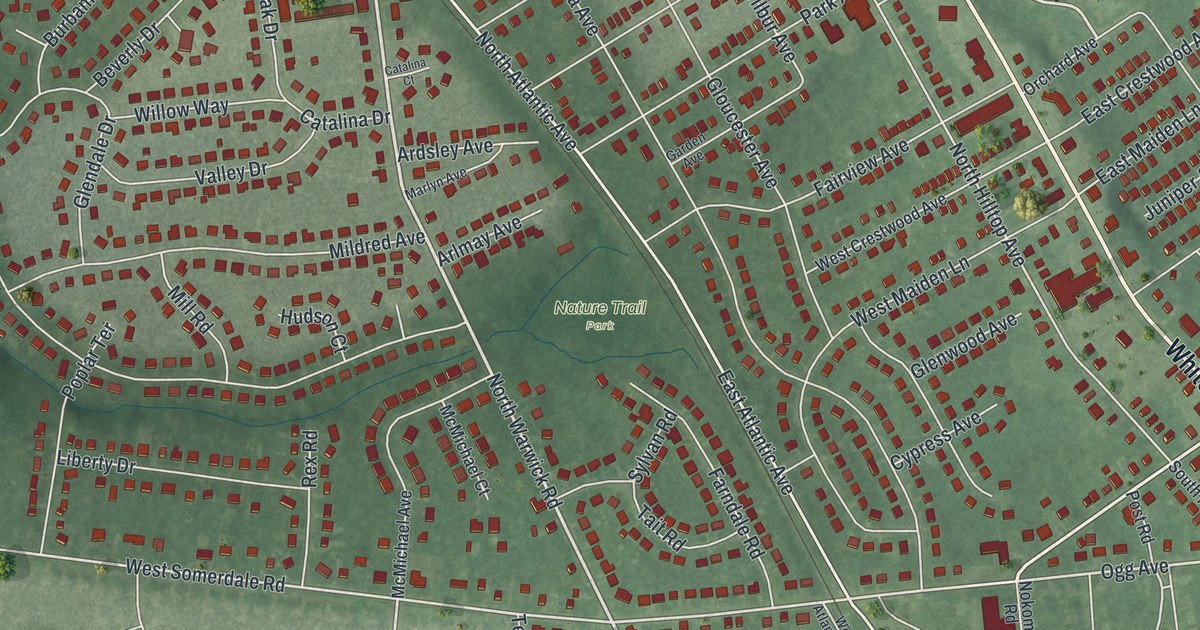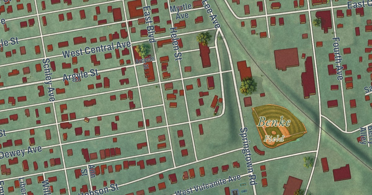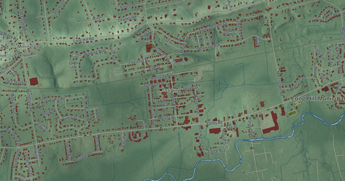
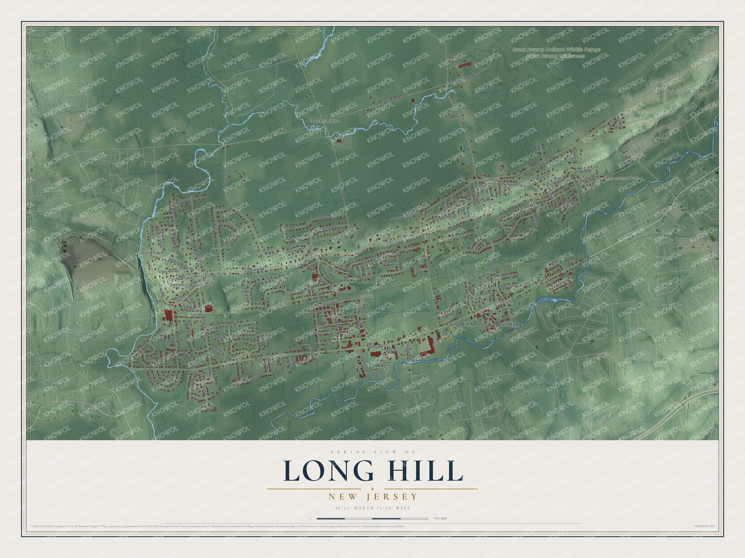
This beautifully detailed map of Long Hill, New Jersey was created in 2026 using aerial imagery combined with modern topographical, census, street and landmark data. It’s a one-of-a-kind view of Long Hill that combines accurate data with a vintage aesthetic. The map shows every building in its true location, many of the roads carry their names, and the shaded topographic relief shows the shape of the land.
Explore an aerial view of Long Hill, New Jersey
On the map you’ll find Long Hill Municipal Building, Homestead Park, Davis Bridge, Gillette, Meyersville, Millington, and Great Swamp National Wildlife Refuge, along with Cedar Avenue, Long Hill Road, Central Avenue, Harrison Avenue, and more. If you look closely you can even find your house accurately drawn in its correct location. Zoom in on the preview to look for yours.
Did You Know?
The township began in 1866 as Passaic Township. That name was easy to confuse with the City of Passaic, about 22 miles away. In 1992, voters chose a new name, Long Hill Township, by a vote of 1,901 to 1,821.
Take a closer look at the Long Hill map
Names on this map
These names are printed on this map.
Places: Long Hill Municipal Building, Homestead Park, Great Swamp National Wildlife Refuge, Great Swamp Wilderness, Davis Bridge, Gillette, Meyersville, Millington, Pleasant Plains and Stirling.
Streets and roads: Valley Road, Cedar Avenue, Long Hill Road, Central Avenue, Harrison Avenue, Maple Avenue, Meyersville Road, Whitebridge Road, Pleasant Plains Road, Mountain Avenue, New Vernon Road, Carlton Road.
More street names, A to Z
Apple Hill Drive, Avenue Maria Court, Baker Street, Basking Ridge Road, Bay Street, Bebout Avenue, Beech Street, Birchwood Drive, Blue Star Drive, Broadview Road, Bungalow Terrace, Castle Place, Cedar Hollow Drive, Charles Road, Chestnut Street, Church Road, Circle Drive, Clover Hill Road, Cooper Lane, Cottage Place, Cottage Place West, Country Lane, Crestwood Road, Cross Hill Road, Daugherty Avenue, Davis Road, Deer Run, Delaware Avenue, Division Avenue, Dogwood Terrace, Dunbridge Lane, East Rayburn Road, Elm Street, Essex Street, Fawn Ridge Drive, Fenview Road, Forest Drive, Francine Place, Gates Avenue, Gillette Road, Greenwood Drive, Heritage Road, Hickory Tavern Road, Highland Avenue, High Street, Hillside Drive, Homestead Road, Home Street, Ideal Street, Indian Run, Jersey Avenue, Jodi Lane, Johnson Avenue, Joss Way, Kalson Road, Karen Dietrich Drive, King Drive, Knollandale Road, Lacey Avenue, Lackawanna Boulevard, Land Street, Largo Lane, Laura Drive, Leprechaun Drive, Long View Terrace, Lupine Way, Madison Street, Magna Drive, Main Avenue, Mercer Street, Midvale Avenue, Milton Avenue, Mitchell Road, Morris Street, Morristown Road, North Avenue, Northfield Road, Norwood Drive, Nottingham Way, Oaks Road, Old Farm House Road, Old Forge Road, Old Mill Road, Overlook Road, Park Place, Passaic Avenue, Pine Street, Plainfield Road, Poplar Drive, Poppy Place, Preston Drive, Railroad Avenue, Rainbow Drive, Ridge Road, River Road, Robin Court, Rolling Hill Drive, Saint Josephs Drive, Sassafras Place, Shawnee Path, Sherwood Lane, Skyline Drive, Skyview Terrace, Somerset Street, South Northfield Road, South Warren Avenue, Spring Brook Drive, Stacey Court, Stonehedge Road, Summit Avenue, Sunnyslope Avenue, Sunrise Drive, Sunset Place, Sussex Avenue, Taff Drive, Tanglewood Trail, The Crescent, Torbert Road, Trent Place, Union Street, Vickie's Place, Warren Avenue, Waverly Avenue, Western Boulevard, West Rayburn Road, White Bridge Road, Winding Way, Windsor Way, Woodgate Road, Woodland Road, Woods End.
See it on a wall
The Long Hill map as an 18 x 24 inch print in a black frame.

This beautifully detailed map of Long Hill makes an attractive addition to your office, library, or den, and it can even be used to teach children the geography and history of the area. It also makes a great gift for anyone who grew up in Long Hill or moved away. When you’re done exploring, click here to get your copy of the Long Hill map.