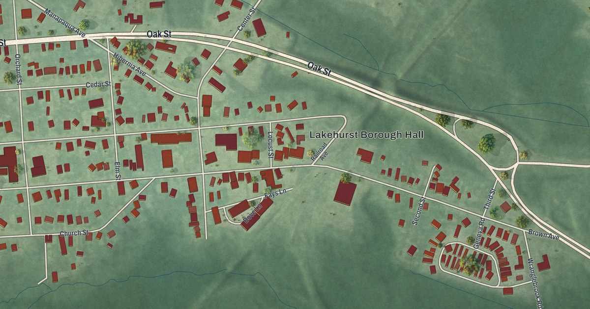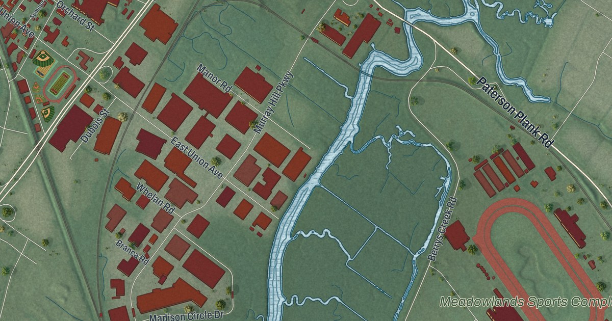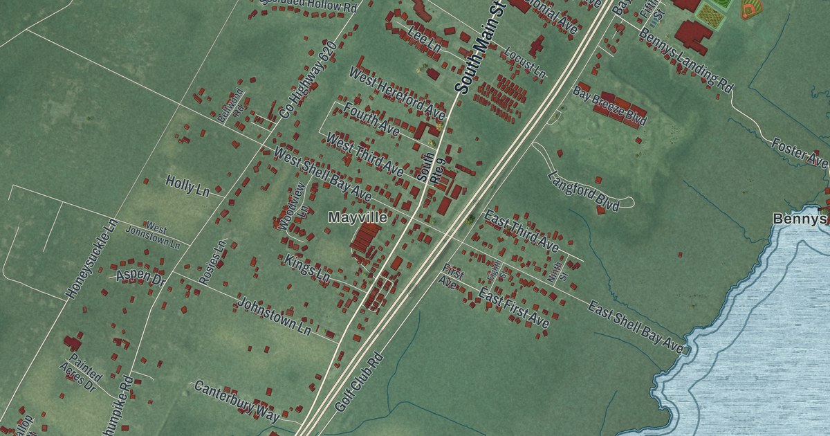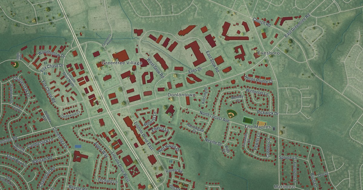
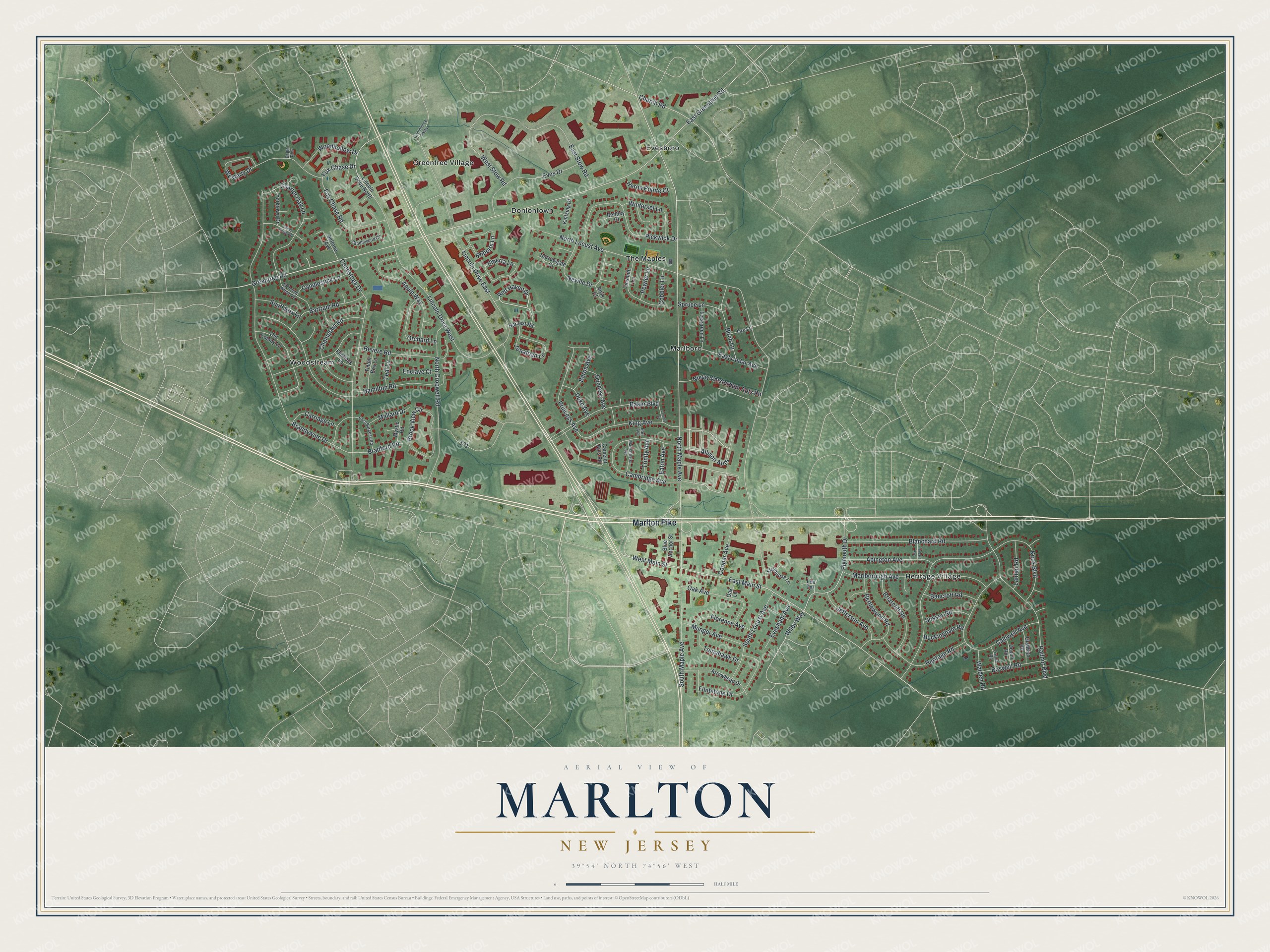
This beautifully detailed map of Marlton, New Jersey was created in 2026 using aerial imagery combined with modern topographical, census, street and landmark data. It’s a one-of-a-kind view of Marlton that combines accurate data with a vintage aesthetic. The map shows every building in its true location, many of the roads carry their names, and the shaded topographic relief shows the shape of the land.
Explore an aerial view of Marlton, New Jersey
On the map you’ll find Allison Apts, Donlontown, Evesboro, Greentree Village, Heritage Village, and Marlboro, along with Marlton Pike, Greentree Road, Main Street, Fox Chase Drive, and more. If you look closely you can even find your house accurately drawn in its correct location. Zoom in on the preview to look for yours.
Did You Know?
Marlton owes its name to marl, a soil that miners dug from pits in the area. Farmers spread it as fertilizer. It added greatly to the crops of Burlington County farms in the 1800s. That’s from the 1939 WPA guide to New Jersey.
Take a closer look at the Marlton map
Names on this map
These names are printed on this map.
Places: Donlontown, Evesboro, Greentree Village, Heritage Village, Marlboro, The Maples and Woodstream.
Streets and roads: Marlton Pike, Allison Apts, Greentree Road, West Main Street, Fox Chase Drive, Plymouth Drive, Red Haven Drive, North Maple Avenue, East Greentree Road, East Main Street, Lincoln Drive West, Wiley Way.
More street names, A to Z
Abington Avenue, Alvis Court, Apple Way, Arrowhead Drive, Baker Boulevard, Bancroft Road, Baron Avenue, Bartram Road, Bentley Court, Bettlewood Road, Birch Lane, Blanchard Road, Blue Anchor Street, Boswell Road, Bradford Road, Brandywine Drive, Briarcliff Road, Brook View Circle, Buckingham Road, Caldwell Avenue, Cambridge Avenue, Camelot Apts Road, Candlestick Lane, Candlewood Circle, Carriage Lane, Champlain Road, Charter Oak Lane, Church Road, Cobbler Lane, Commerce Parkway, Conestoga Drive, Cooper Avenue, Counts Court, Deltona Avenue, Devon Road, Duchess Avenue, Duke Avenue, Eagle Row, Earl Avenue, East Burgess Road, East Cedar Avenue, East Stow Road, Eaton Avenue, Elberta Lane, Enclave Court, Evergreen Lane, Eves Drive, Evesham Avenue, Flintlock Lane, Flintstone Drive, Florence Avenue, Fox Chase Road, Gladwyn Road, Hamilton Road, Harrowgate Court, Harvest Road, Heritage Road, Heron Pointe Court, Hobart Avenue, Jefferson Avenue, Jonathan Lane, King Avenue, Kintzing Drive, Knox Boulevard, Lanfair Road, Lee Terrace, Lincoln Drive East, Lincoln Drive North, Mallard Drive, Manchester Avenue, Marlborough Avenue, Munger Avenue, Mystic Road, Neville Drive, Nieuw Amsterdam Apts Road, North Cropwell Road, North Locust Avenue, Oak Avenue, Oak Lane, Old Colony Lane, Orchard Lane, Ore Lane, Oxford Road, Pewter Lane, Pickwick Drive, Princess Avenue, Radnor Boulevard, Revere Road, Roberts Lane, Snuff Box Lane, South Locust Avenue, South Maple Avenue, Spinning Wheel Lane, Spruce Lane, Stillhouse Lane, Sussex Road, Teal Lane, Tinder Box Lane, Tinsmith Lane, Tomahawk Drive, Trinity Avenue, Valley Forge Road, Walden Road, Westerly Drive, West Stow Road, Winterset Lane, Woodhollow Drive, Yorktown Drive.
See it on a wall
The Marlton map as an 18 x 24 inch print in a black frame.

This beautifully detailed map of Marlton makes an attractive addition to your office, library, or den, and it can even be used to teach children the geography and history of the area. It also makes a great gift for anyone with Marlton roots. When you’re done exploring, click here to get your copy of the Marlton map.