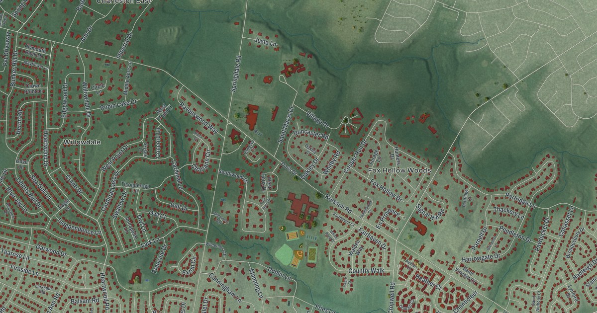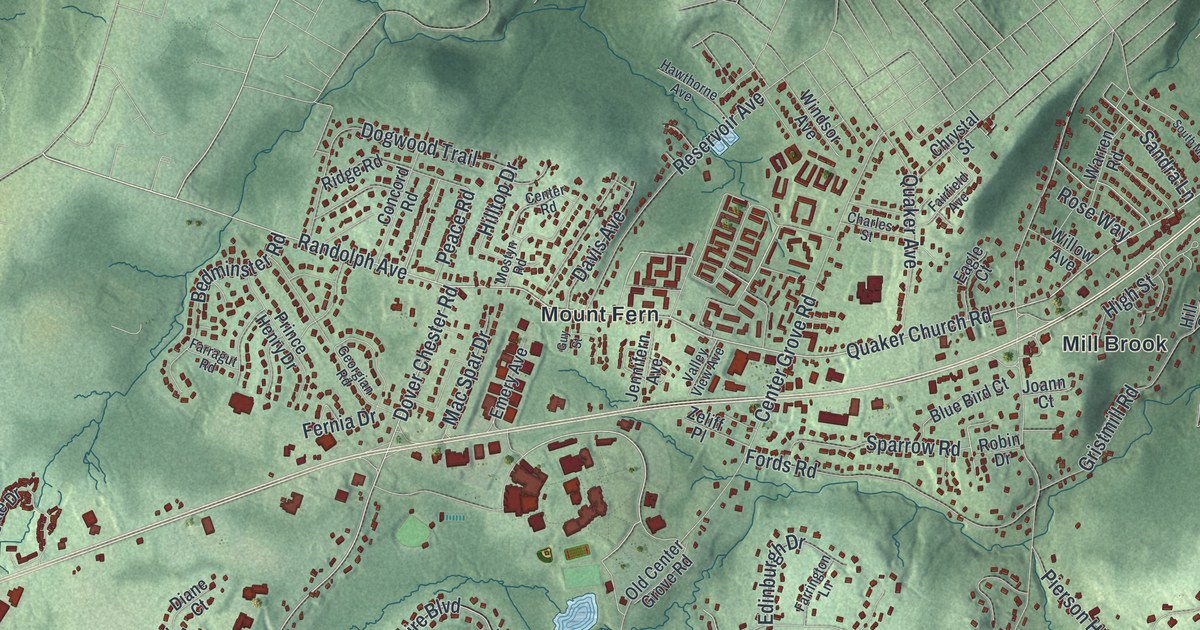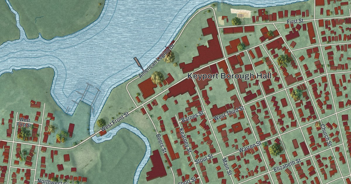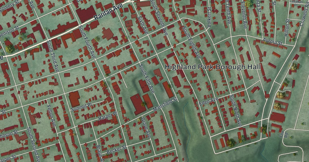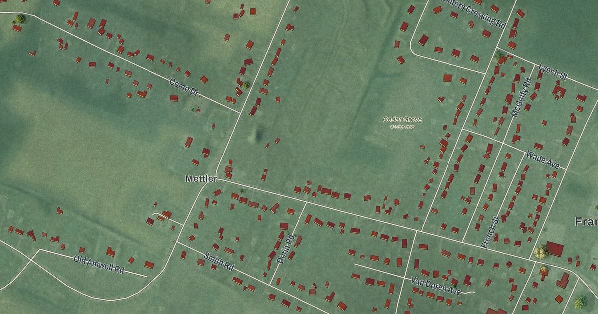
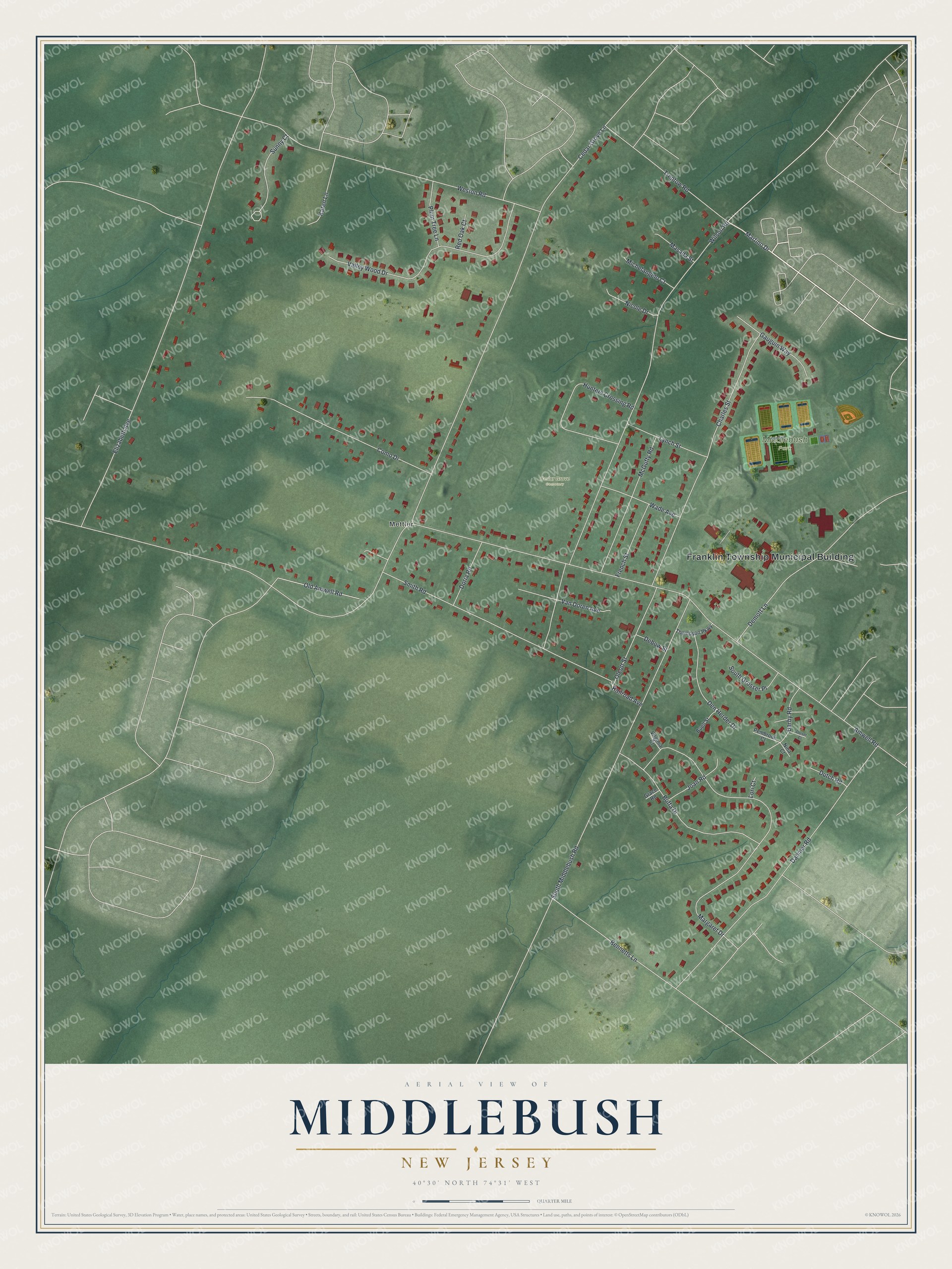
This beautifully detailed map of Middlebush, New Jersey was created in 2026 using aerial imagery combined with modern topographical, census, street and landmark data. It's a modern aerial view of Middlebush in Somerset County, New Jersey, that combines modern data with a vintage aesthetic. The roads feature printed names, and if you look closely you can find your exact house accurately shown in its correct location.
Explore an aerial view of Middlebush, New Jersey
On this map you'll find Franklin Township Municipal Building, Mettler, Middlebush Park, Cedar Grove Cemetery, Martino Drive, Amwell Road, Wilson Road, Cedar Grove Lane, Elizabeth Avenue, Margaret Drive, South Middlebush Road, Dahmer Road, and more. Each red shape is a building, so zoom in on the preview and look for yours.
Every town has a first chapter, and Middlebush is no exception. Middlebush grew up on the Harrison Tract, 10,000 acres bought in 1701 by eight Dutchmen from Long Island. John and Peter Wyckoff, who settled there by 1704, are credited as its first settlers, and local tradition says John described his new home as midden van bosh, the middle of the woods, or Middlebush. On June 19, 1777, Hessian troops marched out of Middlebush toward New Brunswick under British orders to burn every building on the way. The original Voorhees house at the crossroads was destroyed. That's from the National Register of Historic Places.
Middlebush is a community in Somerset County. The Census Bureau counted 2,368 people here in 2020. Middlebush sits about 2 miles northwest of Clyde, 2 miles east of East Millstone and 2 miles west of Somerset. The map prints the town name in its title panel, with the coordinates below it.
Take a closer look at the Middlebush map
Names on this map
These names are printed on this map.
Places: Franklin Township Municipal Building, Mettler, Middlebush Park and Cedar Grove Cemetery.
Streets and roads: Martino Drive, Amwell Road, Wilson Road, Cedar Grove Lane, Elizabeth Avenue, Margaret Drive, South Middlebush Road, Dahmer Road, Weston Road, Charles Street, Smith Road, Valley Wood Drive.
More street names, A to Z
Bennetts Lane, Buell Street, Buffa Drive, Como Drive, Darby Road, Debow Street, Demott Lane, Den Herder Drive, Doria Road, Dorset Court, Dutch Road, French Street, Gauguin Way, Grace Road, Hunters Crossing Road, Joan Road, Karen Lane, Lori Court, Lynch Street, Masada Street, McGuffy Road, Michelangelo Court, Nicole Drive, Nina Court, Olcott Street, Old Amwell Road, Pembrook Court, Plum Tree Lane, Railroad Avenue, Red Oak Court, South Grosser Place, Sunny Court, Thompson Parkway, Treptow Road, Van Doren Avenue, Virginia Court, Wade Avenue.
See it on a wall
The Middlebush map as a framed print. Swipe for more.


Created by KNOWOL in 2026. The buildings are small red shapes, the roads carry their printed names, and shaded relief shows the shape of the land. The title panel reads "AERIAL VIEW OF MIDDLEBUSH, NEW JERSEY" with 40°30' NORTH 74°31' WEST.
Hang it in the hallway, the office or the cabin, or give it to someone who left Middlebush and still calls it home. Open the preview and look for a street you know. See sizes and frames for the Middlebush map.