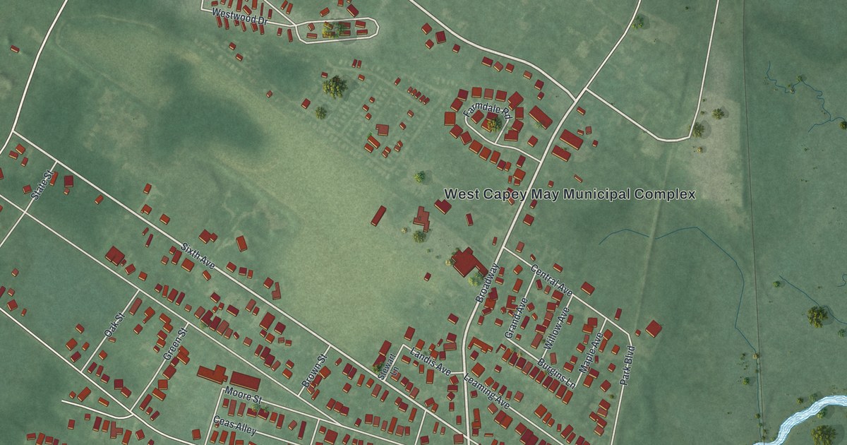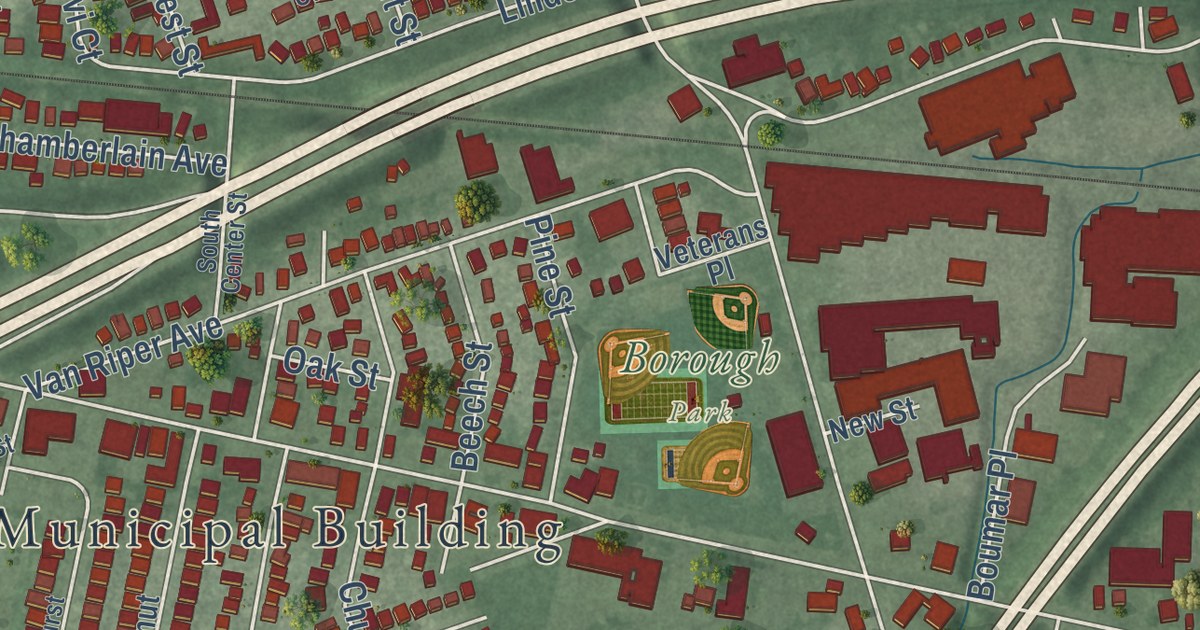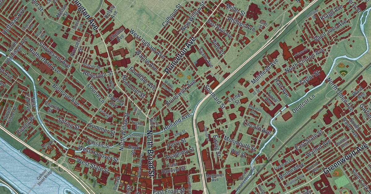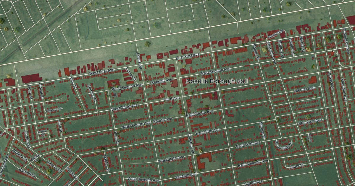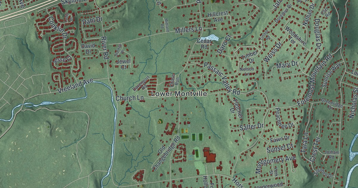
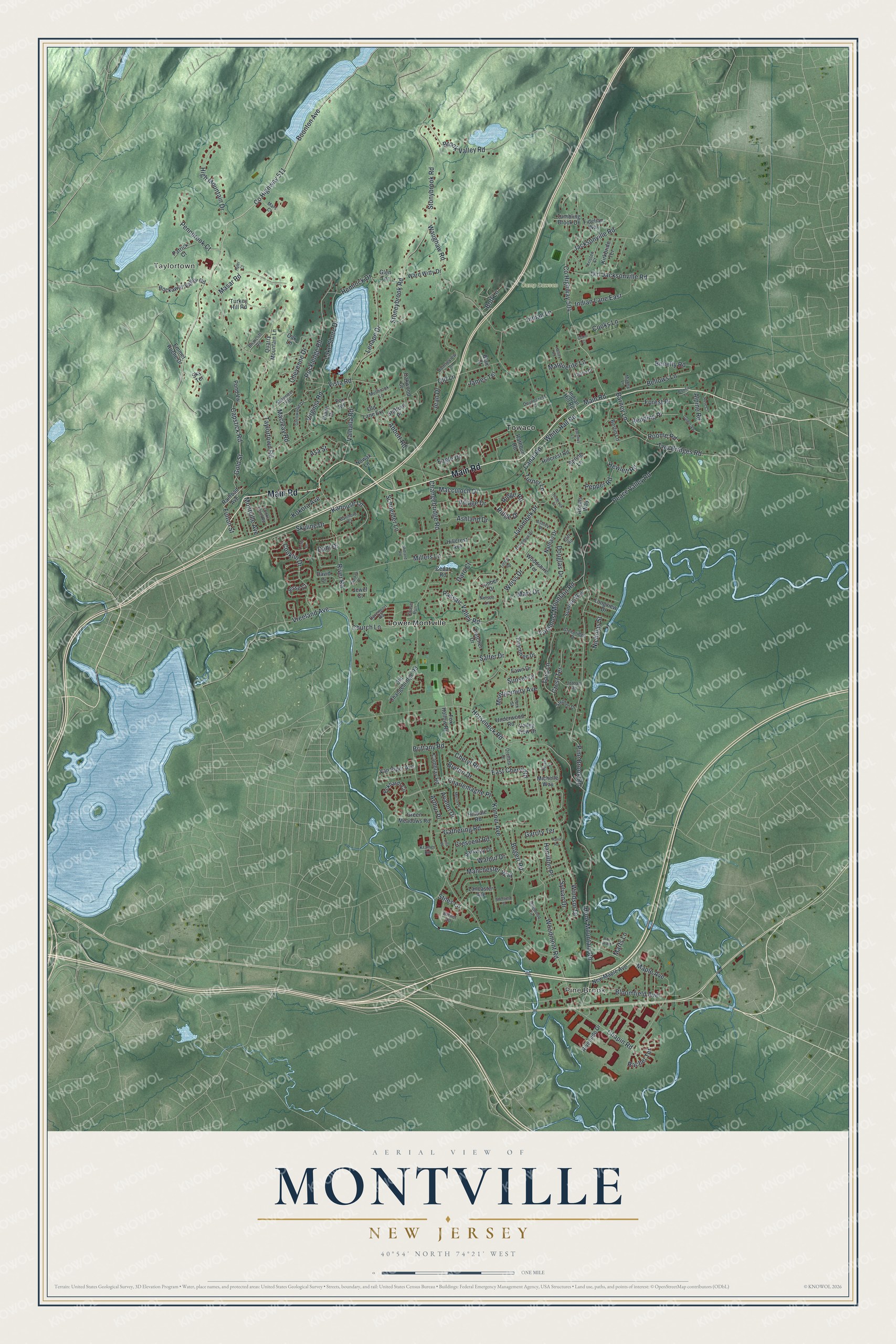
This beautifully detailed map of Montville, New Jersey was created in 2026 using aerial imagery combined with modern topographical, census, street and landmark data. It’s a one-of-a-kind view of Montville that combines accurate data with a vintage aesthetic. The map shows every building in its true location, many of the roads carry their names, and the shaded topographic relief shows the shape of the land.
Explore an aerial view of Montville, New Jersey
On the map you’ll find Taylortown, Pine Brook, Lower Montville, and Towaco, along with Main Road, Boonton Avenue, Taylortown Road, Virginia Road, Changebridge Road, and more. If you look closely you can even find your house accurately drawn in its correct location. Zoom in on the preview to look for yours.
Did You Know?
Dutch farmers from New Amsterdam settled here in 1710. They called the place Uyle-Kill, Dutch for Owl-Kill, after its creek and valley. During the Revolution, Montville sat on a major military road between Morristown and the Hudson River. George Washington stayed in the Towaco section in June 1780.
Take a closer look at the Montville map
Names on this map
These names are printed on this map.
Places: Taylortown, Pine Brook, Camp Dawson, Lower Montville and Towaco.
Streets and roads: Main Road, County Highway 511, Boonton Avenue, Taylortown Road, Virginia Road, Changebridge Road, Pine Brook Road, River Road, Stoneybrook Road, Stonybrook Road, Waughaw Road, Bloomfield Avenue.
More street names, A to Z
Abbott Road, Adams Way, Alpine Road, Arthur Place, Asa Street, Ashland Drive, Ashley Place, Avalon Drive, Barmore Court, Barnet Road, Barney Lane, Bellows Lane, Benefly Road, Berlin Lane, Blair Court, Bogert Road, Bonnie Lane, Bonnieview Lane, Bott Lane, Breton Drive, Briarcliff Road, Brittany Road, Brook Valley Road, Cambray Road, Canal Road, Capstick Road, Cedar Road, Chapin Road, Charlemagne Place, Chase Run, Cheryl Road, Cheyenne Drive, Church Lane, Cliff Road, Como Court, Conklin Drive, Cooks Farm Road, Cooks Lane, County Highway 504, Crescent Road, Crest Terrace, Dahl Drive, Daro Court, Davenport Road, David Drive, Diann Drive, Dogwood Circle, Doremus Drive, Douglas Drive, Duryea Place, Duynecrest Drive, Eagle Drive, East Cheryl Road, Eckhardt Circle, Emmet Roche Drive, Fawn Drive, Fidelian Way, Fletcher Drive, Foremost Mountain Road, Forest Place, Fox Hollow Road, Fox Road, Fulton Street, Garrity Terrace, Gathering Road, Glen Terrace, Glenwood Drive, Gloria Drive, Gold Street, Green Meadows Road, Greenridge Drive, Guther Vw, Halsey Road, Hamilton Place, Hemlock Drive, Hewlett Road, High Mountain Drive, Hillcrest Avenue, Hillcrest Road, Hilldale Road, Holbrook Court, Hook Mountain Road, Horseneck Road, Hyler Court, Indian Hill Road, Indian Lane, Indian Lane East, Jacksonville Road, Jacobus Lane, James Terrace, Jarombek Drive, Jean Drive, Jesse Court, Jewel Court, Jotham Road, Kanouse Lane, Kirkbride Terrace, Kokora Avenue, Konner Avenue, Kramer Road, Kristen Court, Lake Shore Drive, Lancaster Avenue, Lenape Drive, Lisa Place, Longview Drive, Louis Drive, Mabey Lane, Macculoch Drive, Macleay Road, Manchester Way, Maple Avenue, Marguerite Lane, Mars Court, Marts Lane, Mary Drive, Masar Road, Merlin Place, Michelle Way, Midland Road, Millers Lane, Montgomery Avenue, Montville Avenue, Mullbrook Lane, Nathan Drive, Nelson Lane, New Maple Avenue, Nicholas Street, Nowak Lane, Oak Lane, Oakwood Court, Old Changebridge Road, Old Jacksonville Road, Old Lane, Old Lane Extension, Orchard Drive, Parkway Drive, Passaic Valley Road, Patrick Court, Peace Valley Road, Peachtree Drive, Pennbrook Court, Pepper Road, Pond Vw, Quarry Mountain Lane, Rachel Terrace, Railroad Avenue, Rand Road, Rathbun Road, Redding Place, Ridge Drive, Ridge Road, Riverside Drive, Rockaway Valley Road, Rockledge Road, Roe Ri Road, Roome Road, Rose Court, Salter Drive, Schneider Lane, Shawnee Trail, Sheffield Street, Skyline Drive, Sky Terrace, Spring Lane, Stafford Place, Starkey Place, Stephen Drive, Stiles Lane, Sunrise Way, Sunset Court, Sylvan Drive, Tara Lane, Timber Drive, Timber Road, Tumbling Brook Drive, Turkey Hill Road, Turner Lane, Two Bridges Road, Underwood Road, Valhalla Road, Valley View Drive, Van Riper Avenue, Village Drive, Vista Road, Vreeland Avenue, Walnut Drive, Ward Witty Drive, Weiss Drive, White Hall Road, Windsor Drive, Woodmont Road, Woodshire Terrace, York Street.
See it on a wall
The Montville map as an 18 x 24 inch print in a black frame.

This beautifully detailed map of Montville makes an attractive addition to your office, library, or den, and it can even be used to teach children the geography and history of the area. It also makes a great gift for someone who left Montville and still calls it home. When you’re done exploring, click here to get your copy of the Montville map.