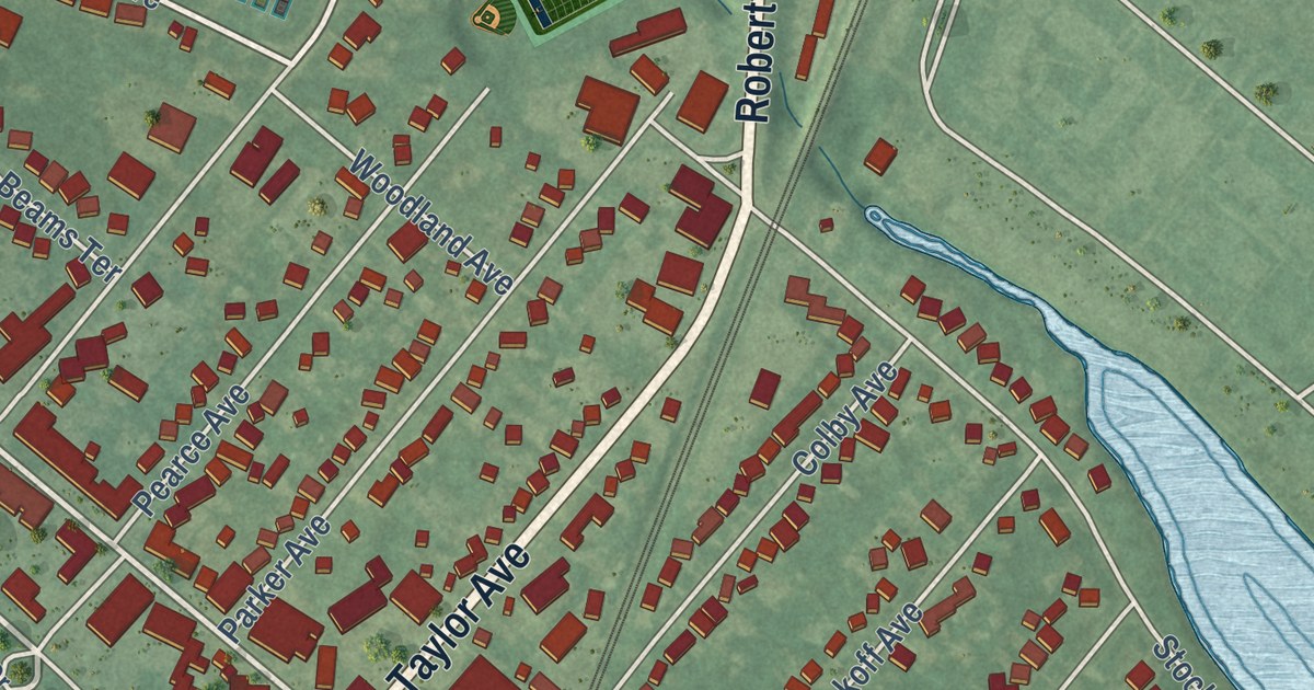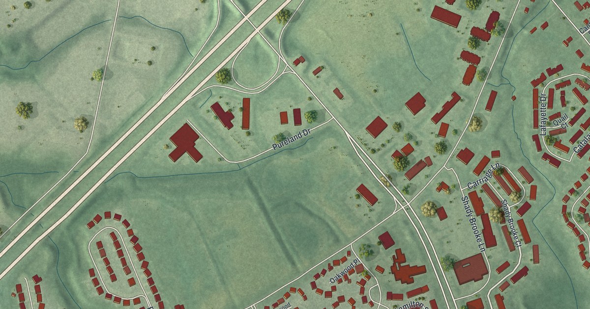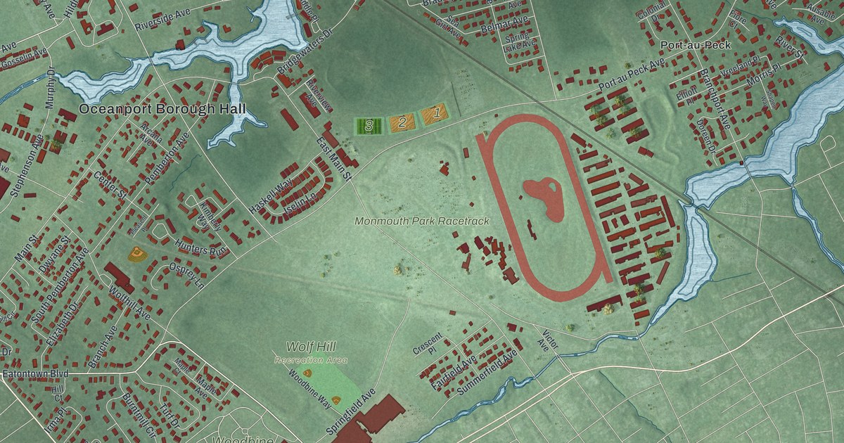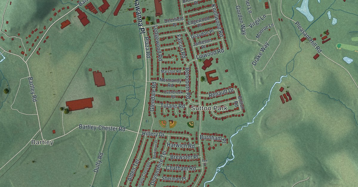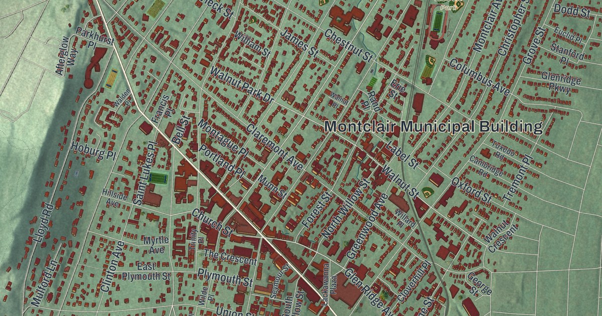
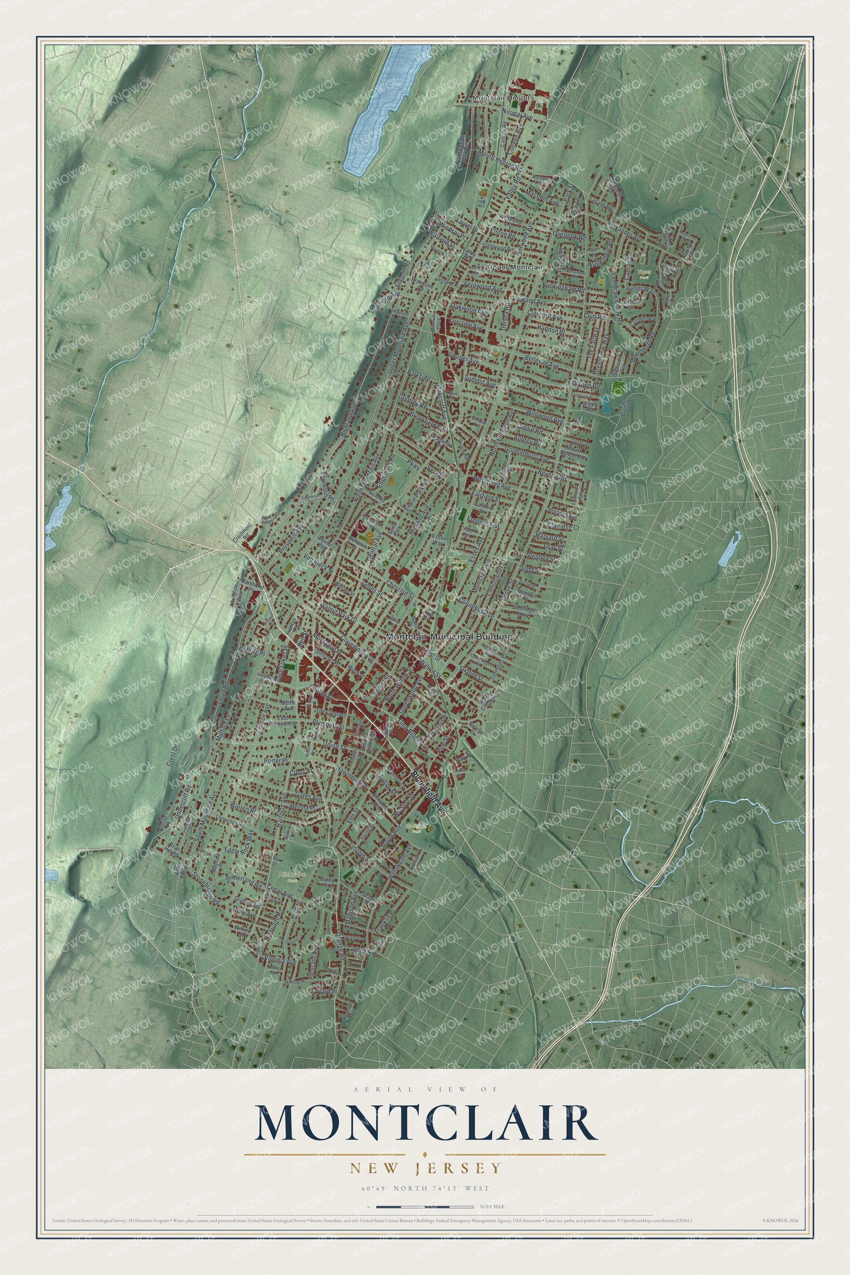
This beautifully detailed map of Montclair, New Jersey was created in 2026 using aerial imagery combined with modern topographical, census, street and landmark data. It’s a one-of-a-kind view of Montclair that combines accurate data with a vintage aesthetic. The map shows every building in its true location, many of the roads carry their names, and the shaded topographic relief shows the shape of the land.
Explore an aerial view of Montclair, New Jersey
On the map you’ll find Montclair Municipal Building, Montclair Heights, Upper Montclair, Essex Park, Glenfield Park, Nishuane Park, and Tuers Park, along with Bloomfield Avenue, Orange Road, Harrison Avenue, Inwood Avenue, and more. If you look closely you can even find your house accurately drawn in its correct location. Zoom in on the preview to look for yours.
Did You Know?
Montclair was once part of Bloomfield. It broke away in 1868, after Bloomfield refused to help build a railroad from Jersey City to the New York State line. The area was first split into Cranetown and Speertown, named for two early settlers. The writer Stephen Crane descended from the first Crane. That’s from the 1939 WPA guide to New Jersey.
Take a closer look at the Montclair map
Names on this map
These names are printed on this map.
Places: Montclair Municipal Building, Montclair Heights, Essex Park, Glenfield Park, Nishuane Park, Tuers Park, Upper Montclair and Erwin Park.
Streets and roads: Bloomfield Avenue, Orange Road, Harrison Avenue, Inwood Avenue, Normal Avenue, Fernwood Avenue, Glen Ridge Avenue, Park Street, Church Street, Valley Road, Grove Street, Upper Mountain Avenue.
More street names, A to Z
Afterglow Way, Alden Road, Alexander Avenue, Alpine Street, Alvin Place, Amelia Street, Appleton Place, Argyle Road, Aubrey Road, Baldwin Street, Bay Street, Bellaire Drive, Bellevue Avenue, Bellevue Plaza, Bell Street, Berkeley Place, Beverly Road, Bradford Avenue, Braemore Road, Briar Hill Road, Brookfield Road, Bruce Road, Brunswick Road, Buckingham Road, Cambridge Road, Capron Lane, Carey Court, Carlisle Road, Carlton Drive, Carolin Road, Cedar Avenue, Central Avenue, Chester Road, Chestnut Street, Christopher Street, Clairidge Court, Claremont Avenue, Clarewill Avenue, Clinton Avenue, Cloverhill Place, Club Road, College Avenue, Columbus Avenue, Cooper Avenue, Cornell Way, Crest Drive, Crestmont Road, Cross Street, Curtis Terrace, Dodd Street, Draper Terrace, Dryden Road, Duryea Road, Eagle Rock Way, East Circuit Drive, East Plymouth Street, Edgecliff Road, Edgemont Road, Edgewood Road, Edgewood Terrace, Elm Street, Elmwood Avenue, Elston Road, Erie Street, Erwin Park Road, Essex Avenue, Essex Way, Euclid Place, Fairfield Street, Fairmount Avenue, Fairview Place, Forest Street, Francis Place, Franklin Avenue, Franklin Place, Frederick Street, Fulton Street, Garden Street, Gates Avenue, George Street, Glenridge Parkway, Glenside Terrace, Glenwood Road, Godfrey Road, Gordonhurst Avenue, Graham Terrace, Grandview Place, Gray Street, Greenview Way, Greenwood Avenue, Grenada Place, Haddon Place, Harvard Street, Hawthorne Place, Heller Drive, Heller Way, Highland Avenue, High Street, Hillside Avenue, Hilltop Place, Hitchcock Place, Hoburg Place, Howe Avenue, Ingleside Road, Irving Street, James Street, Jerome Place, Kenneth Road, Kips Ridge, Label Street, Lackawanna Plaza, Lane Court, Lasalle Road, Laurel Place, Lincoln Street, Linden Avenue, Llewellyn Road, Lloyd Road, Lorraine Avenue, Macopin Avenue, Madison Avenue, Maple Avenue, Marquette Road, Melrose Place, Midland Avenue, Mission Street, Montague Place, Montclair Avenue, Mountainside Park Terrace, Mountain Terrace, Mount Hebron Road, Mount Vernon Road, Mulford Lane, Munn Street, Myrtle Avenue, Nassau Road, Nishuane Road, Norman Road, North Fullerton Avenue, North Mountain Avenue, North Willow Street, Norwood Avenue, Oakcroft Avenue, Oak Street, Oakwood Avenue, Orchard Court, Overlook Road, Oxford Street, Parkhurst Place, Park Place, Parkside, Park Terrace, Parkway, Pierson Place, Pine Street, Pleasant Avenue, Pleasant Way, Plymouth Street, Porter Place, Portland Place, Prescott Avenue, Prospect Avenue, Prospect Terrace, Ramsey Road, Rand Place, Russell Terrace, Rutgers Place, Saint Lukes Place, Seneca Place, Seymour Street, Skytop Terrace, South Mountain Avenue, South Willow Street, Squire Hill Road, Stanford Place, Stephen Street, Stonebridge Road, Summit Avenue, Sutherland Road, The Crescent, The Fairway, Tichenor Place, Tremont Place, Trinity Place, Tuers Place, Tuxedo Road, Undercliff Drive, Undercliff Road, Union Street, Valley Place, Valley Way, Van Vleck Street, Vera Place, Victoria Terrace, Virginia Avenue, Walden Place, Walnut Crescent, Walnut Park Drive, Walnut Place, Walnut Street, Ward Place, Warfield Street, Warren Place, Washington Street, Watchung Avenue, Waterbury Road, Wayside Place, Wellesley Road, Westview Road, Wilde Place, Wildwood Avenue, Wilfred Street, Willard Place, William Street, Willowdale Avenue, Windemere Road, Windsor Place, Woodmont Road, Yale Terrace, Yantacaw Brook Road.
See it on a wall
The Montclair map as an 18 x 24 inch print in a black frame.

This beautifully detailed map of Montclair makes an attractive addition to your office, library, or den, and it can even be used to teach children the geography and history of the area. It also makes a great gift for anyone who grew up in Montclair or moved away. When you’re done exploring, click here to get your copy of the Montclair map.