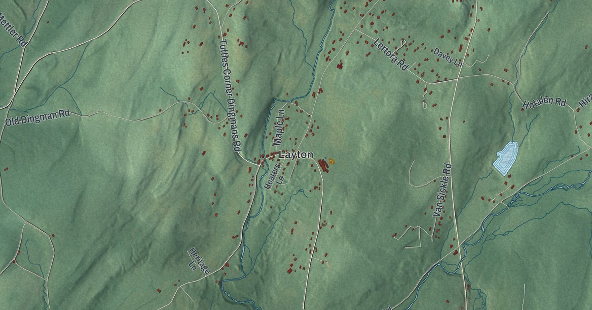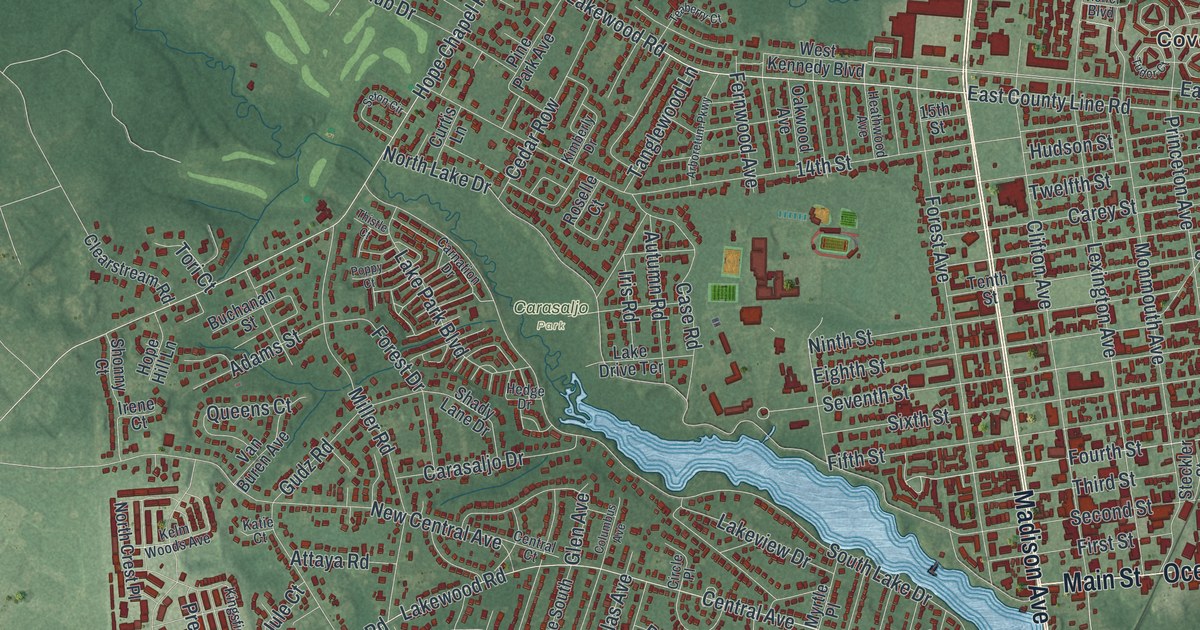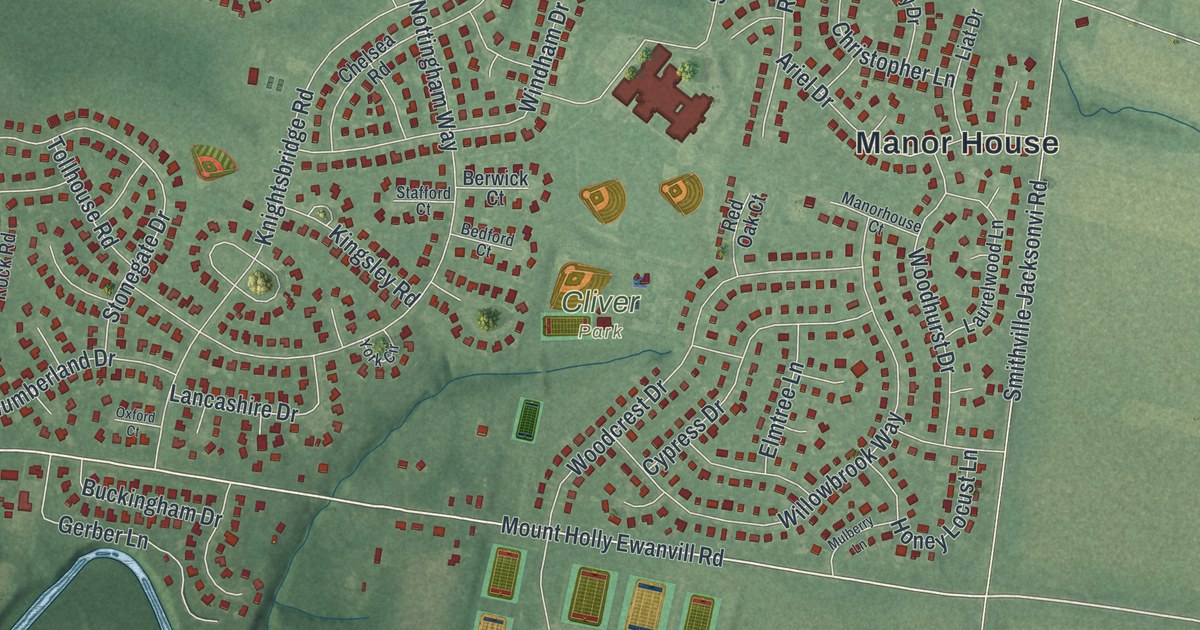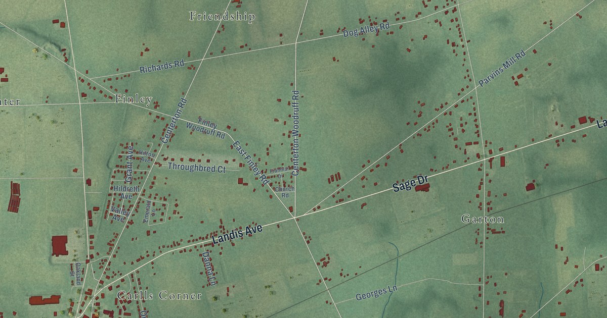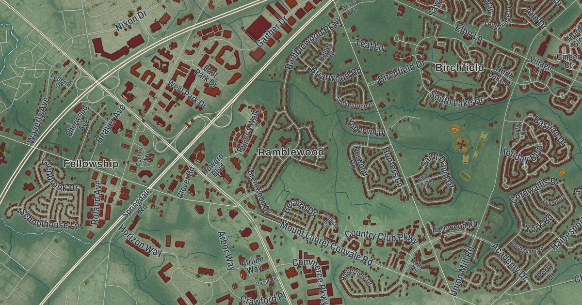
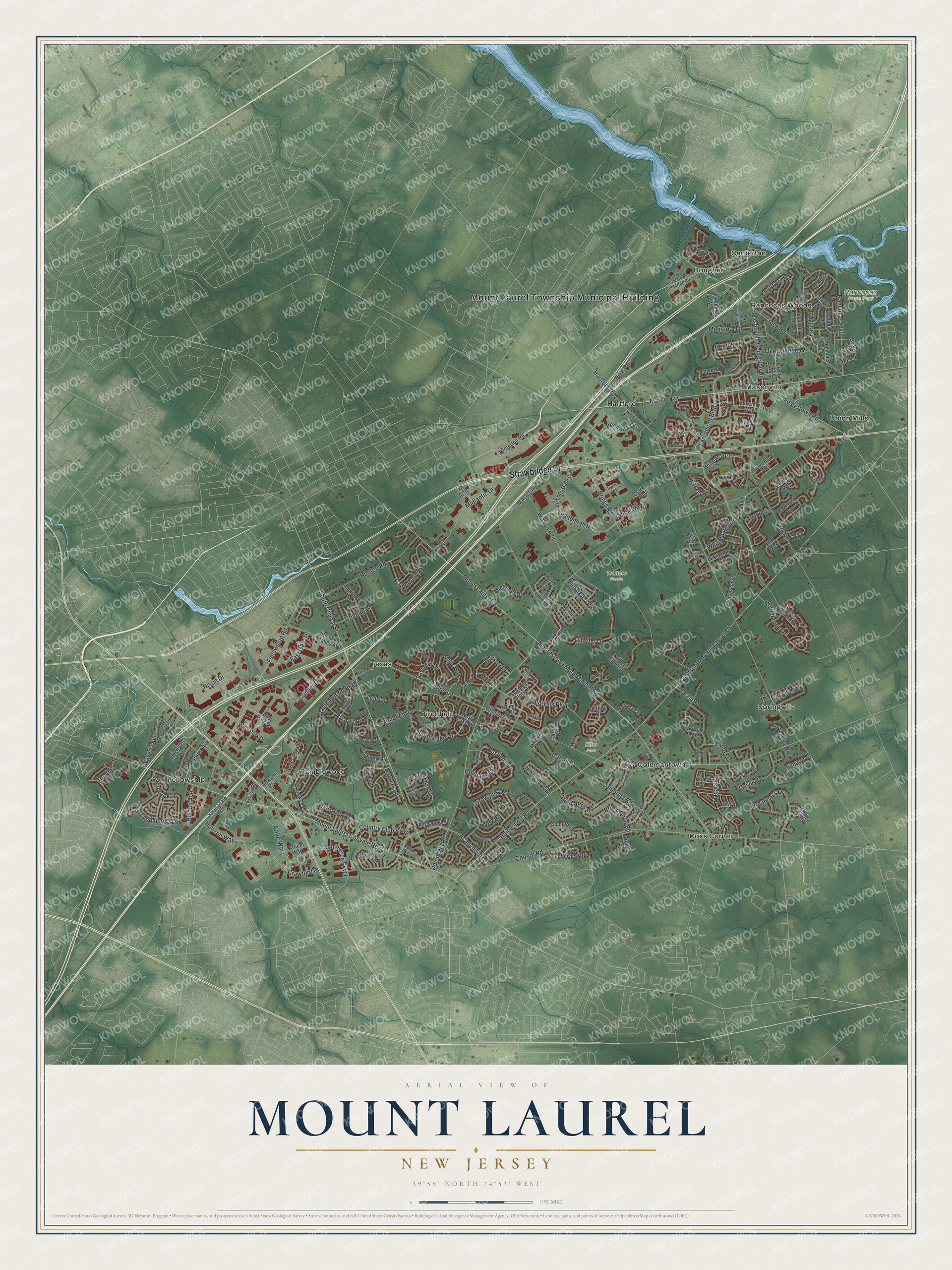
This beautifully detailed map of Mount Laurel, New Jersey was created in 2026 using aerial imagery combined with modern topographical, census, street and landmark data. It’s a one-of-a-kind view of Mount Laurel that combines accurate data with a vintage aesthetic. The map shows every building in its true location, many of the roads carry their names, and the shaded topographic relief shows the shape of the land.
Explore an aerial view of Mount Laurel, New Jersey
On the map you’ll find Mount Laurel Township Municipal Building, Birchfield, Bougher, Centerton, Colemantown, Coxs Corner, Elbo Park, and Rancocas State Park, along with Strawbridge Drive, Marne Highway, Church Street, Church Road, and more. If you look closely you can even find your house accurately drawn in its correct location. Zoom in on the preview to look for yours.
Did You Know?
Mount Laurel gave its name to one of the most important housing rulings in America. Ethel Lawrence, a Black woman who spent her whole life here, led the push for affordable homes. The NAACP sued the township, and the state Supreme Court ruled in 1975 that towns must make room for such housing.
Take a closer look at the Mount Laurel map
Names on this map
These names are printed on this map.
Places: Mount Laurel Township Municipal Building, Elbo Park, Rancocas State Park, Trotters Fields, Birchfield, Bougher, Centerton, Colemantown, Coxs Corner, Fellowship, Hartford, Masonville, Ramblewood, Rancocas Woods, Springville, Texas and Union Mills.
Streets and roads: Strawbridge Drive, Marne Highway, South Church Street, Church Road, Union Mill Road, Larchmont Boulevard, Elbo Lane, Hainesport Mount Laurel Road, Hainesport Road, Hartford Road, Moorestown Mount Laurel Road, Mount Laurel Road.
More street names, A to Z
Aberdeen Drive, Abington Road, Academy Drive, Acorn Road, Adams Street, Amaryllis Boulevard, Amberfield Drive, Amsterdam Road, Ann Drive, Arbor Way, Ark Road, Ashby Court, Atrium Way, Augusta Circle, Bastian Drive, Beach Road, Beaver Avenue, Belaire Drive, Bentley Drive, Biddle Way, Birchfield Drive, Bishops Gate Boulevard, Boothby Drive, Bradford Court, Brentwood Drive, Bretton Way, Briarwood Road, Briggs Road, Broad Acre Road, Brookwood Road, Buoy Drive, Canterbury Road, Carleton Lane, Cattail Drive, Cemetery Road, Centerton Road, Century Parkway, Chadbury Road, Chickory Drive, Clifford Court, Clover Road, Cobblestone Drive, Commerce Parkway, Cornwallis Drive, Country Club Parkway, Country Lane, Courtney Way, Coventry Way, Crawford Place, Creek Road, Crystal Avenue, Daylily Drive, Delancey Place, Dove Court, Duffy Drive, East Gate Drive, East Park Drive, Fairfax Drive, Farnwood Road, Federal Street, Fellowship Road, Fleetwood Avenue, Forest Lake Drive, Forrest Court, Fostertown Road, Foxcroft Way, Fox Run, Gaither Drive, Garden Way, Gaskill Road, Ginger Court, Glenbrook Drive, Haines Road, Heather Drive, Hemlock Lane, Hillside Lane, Hilltop Drive, Holiday Boulevard, Holly Cv, Hooten Road, Horizon Way, Horseshoe Drive, Hovetech, Howard Boulevard, Hunters Drive, Hunters Lane, Hutchinson Road, Indigo Drive, Irwin Road, James Drive, Jazz Way, Jefferson Street, Kettlebrook Drive, Knotty Oak Drive, Knox Way, Koala Lane, Krysta Court, Kyle Court, Lake Drive, Lancelot Lane, Larch Road, Laurel Avenue, Laurel Lane, Laurel Lane West, Leadenhall Road, Lenape Court, Lexington Court, Lincoln Drive, Lindale Drive, Longbridge Drive, Mallard Drive, Maple Glenn Road, Maple Road, Marter Avenue, Masonville Centerton Road, Memorial Lane, Midlantic Drive, Millstream Drive, Moorestown Centerton Road, Morning Glory Drive, Mountainview Road, Mount Laurel Convale Road, Nixon Drive, Normandy Drive, North Lake Drive, North Pond Drive, Norwood Road, Oakhurst Lane, Orchard Way, Pacilli Place, Patricia Lane, Penmark Drive, Periwinkle Drive, Perry Drive, Pheasant Drive, Phillips Road, Pike Road, Pimlico Way, Pleasant Valley Avenue, Preakness Drive, Ramblewood Parkway, Rancocas Boulevard, Richland Drive, Roger's Walk, Roland Avenue, Rolling Glen Court, Sable Lane, Saddle Drive, Saint Clair Drive, Saint David Drive, Sandhurst Drive, Sarah Court, Saw Mill Drive, Saxony Drive, Schoolhouse Lane, Sherwood Avenue, Sixth Avenue, Sorrel Run, South Lake Drive, Springdale Road, Springville Way, Squirrel Tree Lane, Stanwyck Road, Starboard Way, Stark Way, Stern Light Drive, Stokes Road, Stratford Lane, Stratton Lane, Tara Drive, Teal Lane, Telford Lane, Texas Avenue, Timberline Drive, Trefoil Terrace, Village Lane, Walnut Lane, Walton Avenue, Walt Whitman Avenue, Watson Drive, Waverly Avenue, West Park Drive, Whitechapel Drive, Willow Turn, Winding Way, Wood Lark Drive, Wood View Drive, Woolmans Lane, York Road, Yorktown Drive.
See it on a wall
The Mount Laurel map as an 18 x 24 inch print in a black frame.

This beautifully detailed map of Mount Laurel makes an attractive addition to your office, library, or den, and it can even be used to teach children the geography and history of the area. It also makes a great gift for someone who left Mount Laurel and still calls it home. When you’re done exploring, click here to get your copy of the Mount Laurel map.