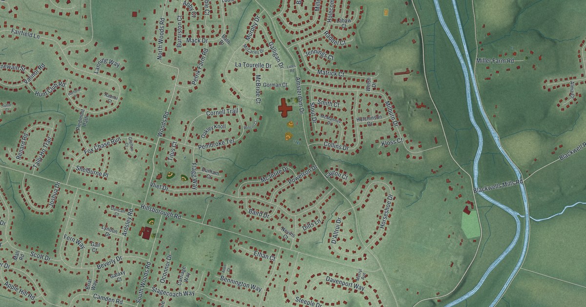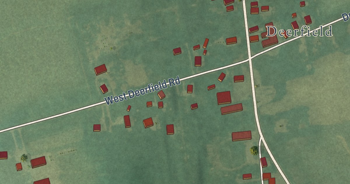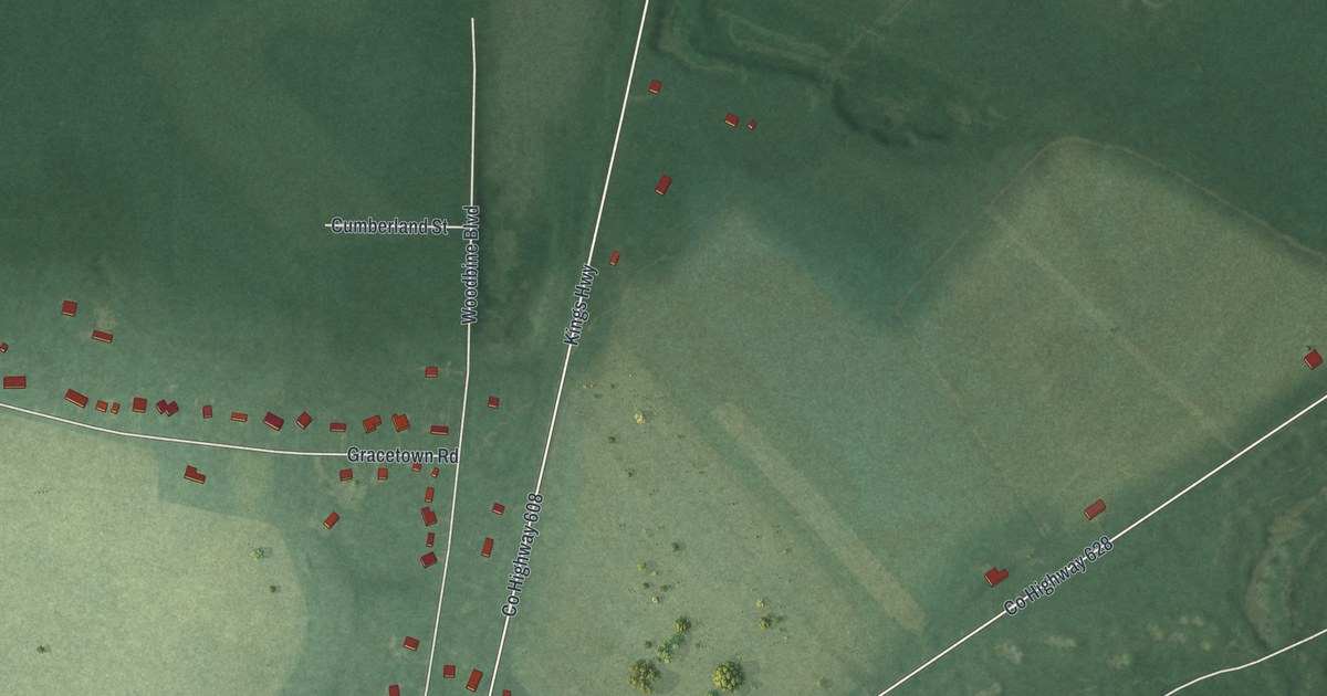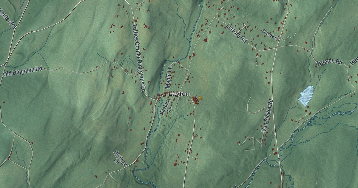
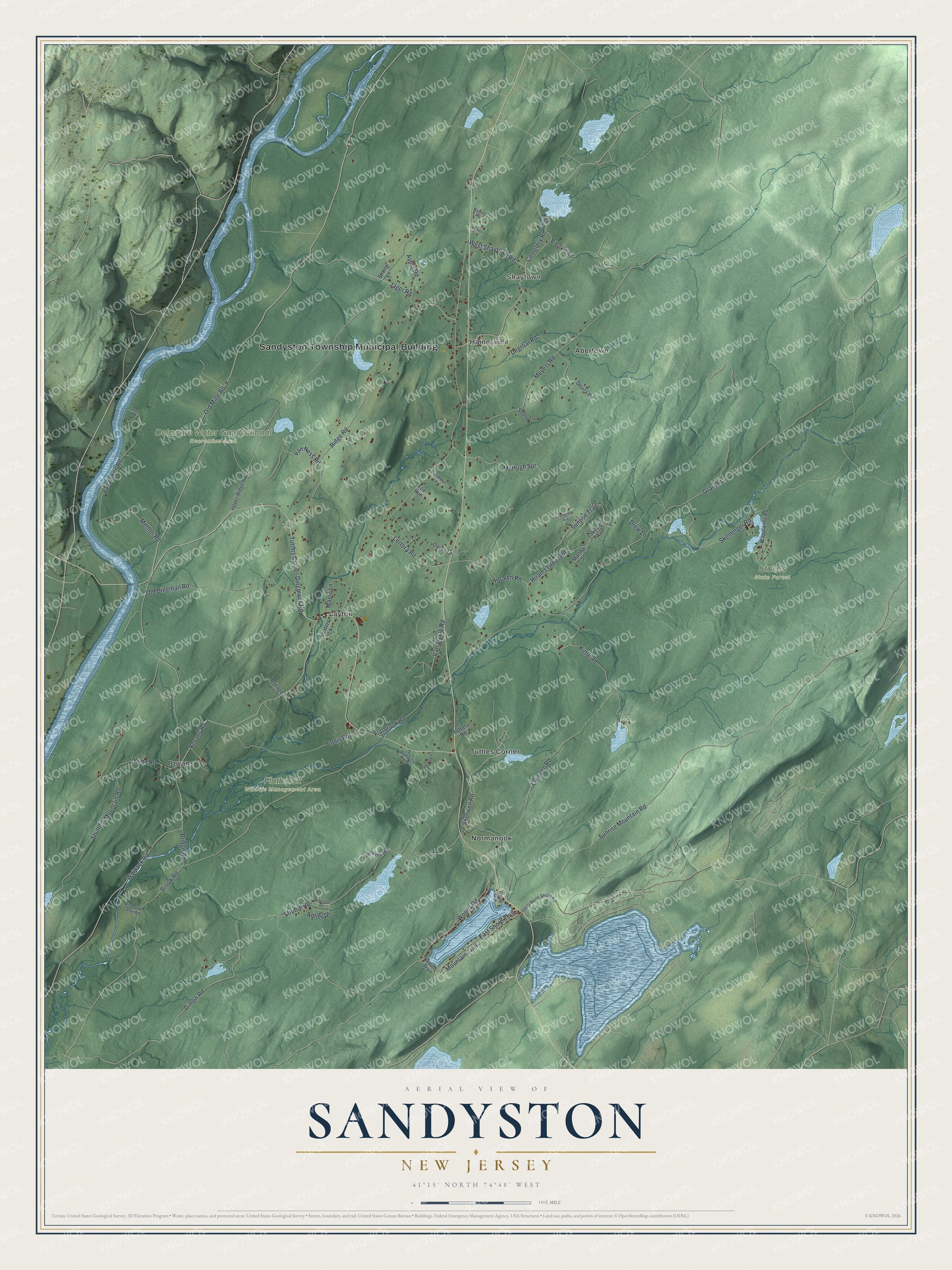
This beautifully detailed map of Sandyston, New Jersey was created in 2026 using aerial imagery combined with modern topographical, census, street and landmark data. It’s a one-of-a-kind view of Sandyston that combines accurate data with a vintage aesthetic. The map shows every building in its true location, many of the roads carry their names, and the shaded topographic relief shows the shape of the land.
Explore an aerial view of Sandyston, New Jersey
On the map you’ll find Sandyston Township Municipal Building, Shaytown, Abertown, Bevans, Hainesville, Layton, Delaware Water Gap National Recreation Area, Flatbrook Wildlife Management Area, and Stokes State Forest, along with Shotwell Road, Cemetery Road, Tuttles Corner Dingmans Road, Dimon Road, and more. If you look closely you can even find your house accurately drawn in its correct location. Zoom in on the preview to look for yours.
Take a closer look at the Sandyston map
Names on this map
These names are printed on this map.
Places: Sandyston Township Municipal Building, Shaytown, Delaware Water Gap National Recreation Area, Flatbrook Wildlife Management Area, Stokes State Forest, Abertown, Bevans, Hainesville, Layton, Normanook and Tuttles Corner.
Streets and roads: Shotwell Road, Cemetery Road, Tuttles Corner Dingmans Road, Dimon Road, Old Mine Road, Sunrise Mountain Road, Flatbrook Road, Brook Road, Walpack Road, Ridge Road, Struble Road, Coursen Road.
More street names, A to Z
Antler Drive, Ayers Road, Bayley Road, Bevans Road, Bierskill Road, Bridge Road, Butternut Lane, Cove Road, Davey Lane, Degroat Road, Devita Road, Drew Lane, East Shore Trail, Ennis Road, Fish and Game Road, Fox Run, Grandview Avenue, Grau Road, Heaters Lane, Heritage Lane, Hirams Grove Road, Hotalen Road, Jager Road, Jenkins Road, Kittle Road, Kuhn Road, Lakeside Avenue, Lakeview Road, Laurel Lane, Lertora Road, Maple Lane, Martha Street, McHugh Spr, Mettler Road, Meyers Road, Mountain Trail, New Road, Old Dingman Road, Rahoche Lane, Skellenger Road, South Trail, Stony Lane, Strong Lane, Sunrise Trail, Tenneyck Lane, Thunder Mountain Road, Tuttles Road, Upper North Shore Road, Upper Ridge Road, Van Auken Road, Van Ness Road, Van Sickle Road, Volker Lane, Wapalanne Road, West Shaytown Road, Woods Road.
See it on a wall
The Sandyston map as an 18 x 24 inch print in a black frame.

This beautifully detailed map of Sandyston makes an attractive addition to your office, library, or den, and it can even be used to teach children the geography and history of the area. It also makes a great gift for anyone with Sandyston roots. When you’re done exploring, click here to get your copy of the Sandyston map.