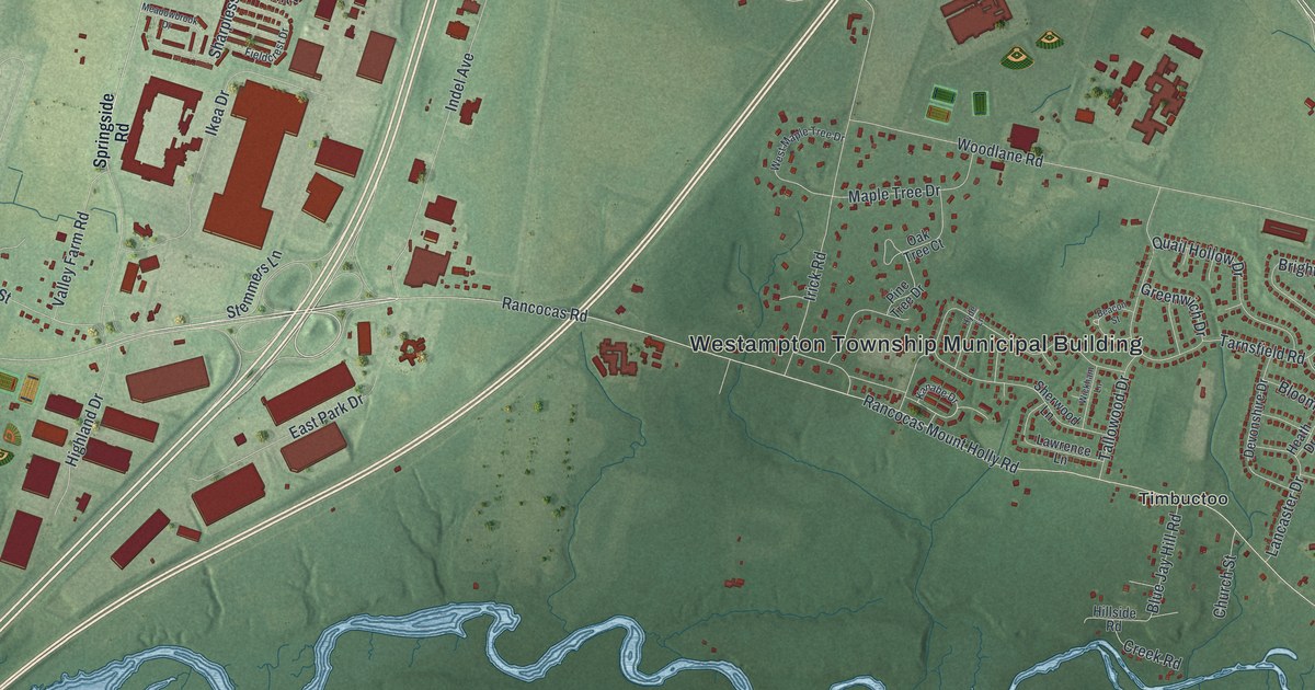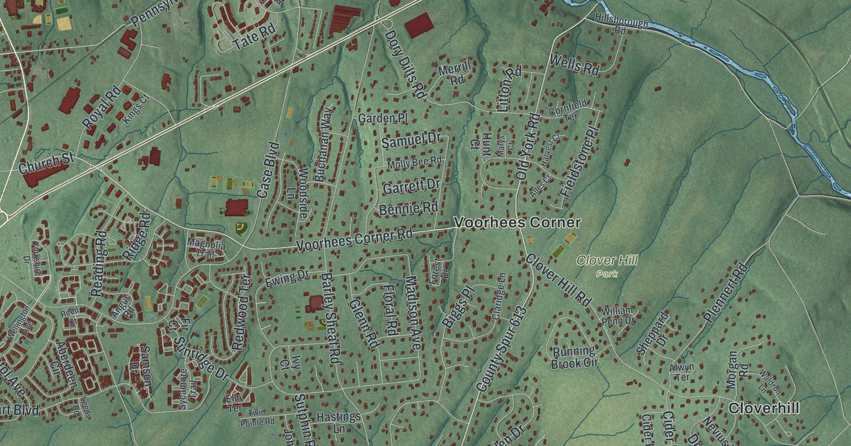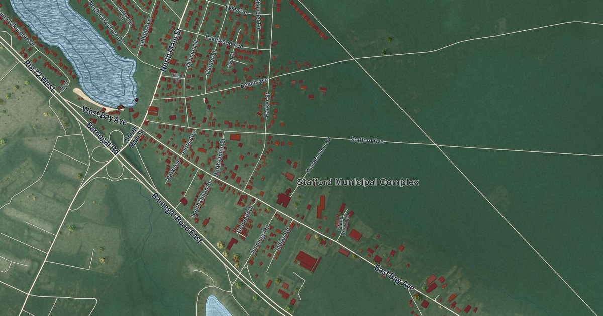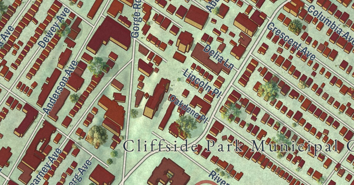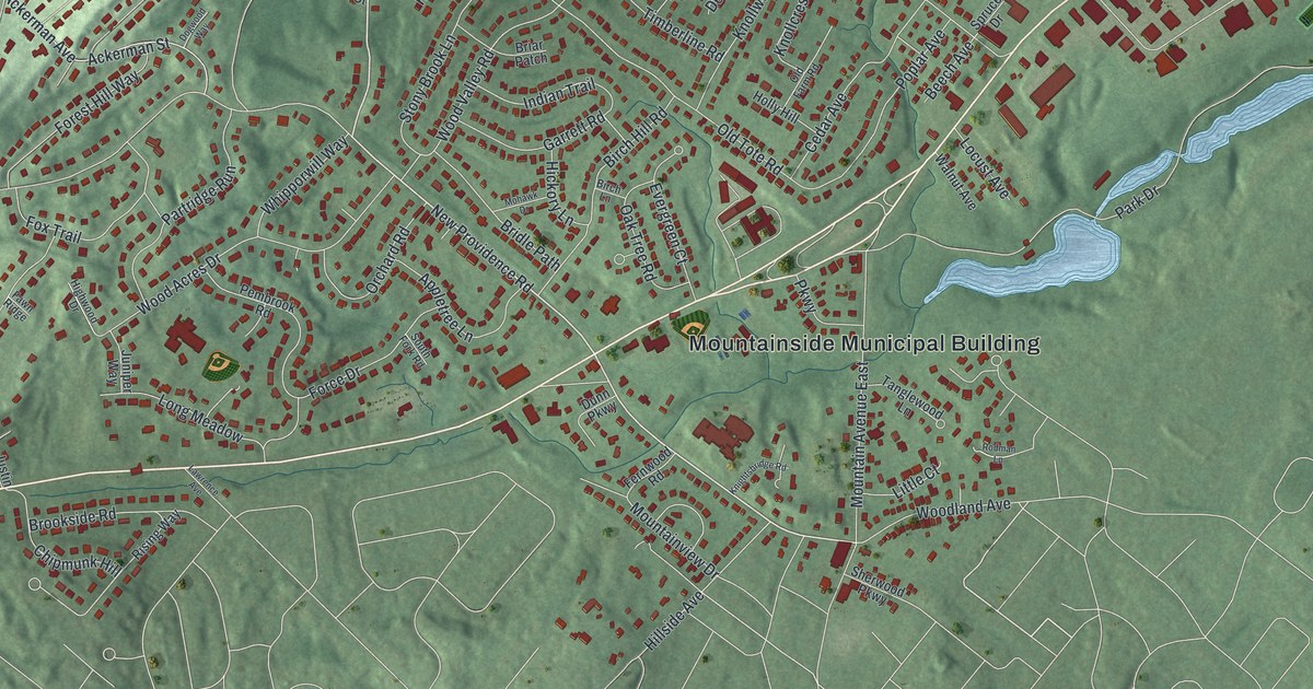
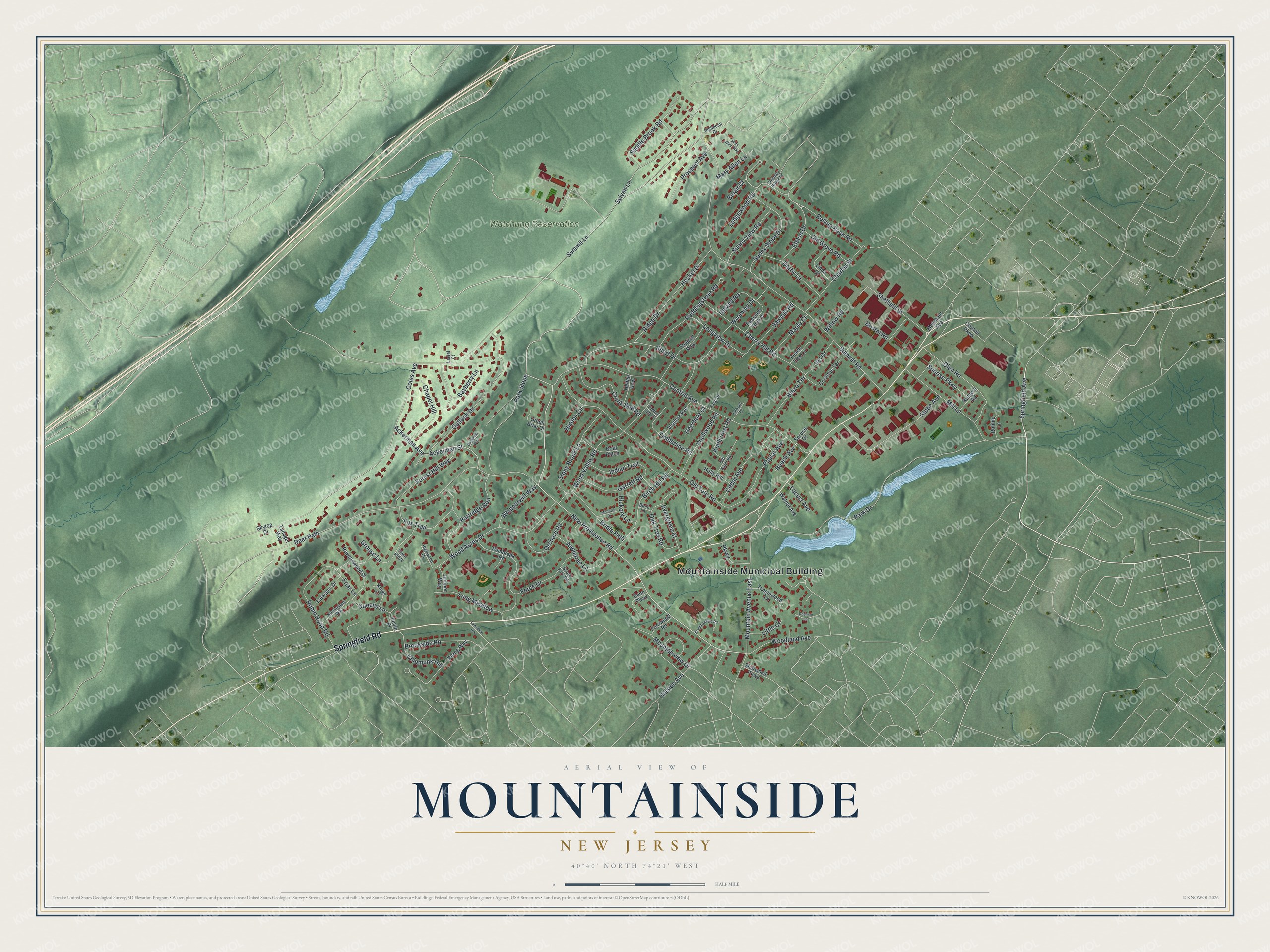
This beautifully detailed map of Mountainside, New Jersey was created in 2026 using aerial imagery combined with modern topographical, census, street and landmark data. It’s a one-of-a-kind view of Mountainside that combines accurate data with a vintage aesthetic. The map shows every building in its true location, many of the roads carry their names, and the shaded topographic relief shows the shape of the land.
Explore an aerial view of Mountainside, New Jersey
On the map you’ll find Mountainside Municipal Building, along with Springfield Road, New Providence Road, Springfield Avenue, Summit Road, and more. If you look closely you can even find your house accurately drawn in its correct location. Zoom in on the preview to look for yours.
Did You Know?
In 1958 a Nike missile battery known as NY-73 put its launchers in Mountainside. It operated until 1963, with its radar station in Berkeley Heights. The launchers sat on cleared land in the Watchung Reservation. That land later became the Watchung Stables.
Take a closer look at the Mountainside map
Names on this map
These names are printed on this map.
Places: Mountainside Municipal Building and Watchung Reservation.
Streets and roads: Springfield Road, New Providence Road, Springfield Avenue, Summit Road, Summit Lane, Deer Path, Central Avenue, Park Drive, Coles Avenue, Old Tote Road, Wood Valley Road, Mountain Avenue East.
More street names, A to Z
Ackerman Avenue, Ackerman Street, Appletree Lane, Bayberry Lane, Beech Avenue, Belair Court, Birch Hill Road, Birch Lane, Blazo Terrace, Briar Patch, Bridle Path, Bristol Road, Brookside Road, Cedar Avenue, Chapel Hill, Charles Street, Cherry Hill Road, Chimney Ridge Drive, Chipmunk Hill, Cornell Parkway, Corrinne Terrace, Creek Bed Road, Darby Lane, Deerfield Court, Dogwood Way, Dunn Parkway, Elston Drive, Evergreen Court, Fawn Ridge, Fernwood Road, Field Drive, Foothill Way, Force Drive, Forest Hill Way, Fox Trail, Friar Lane, Garrett Road, Glen Road, Globe Avenue, Green Briar Court, Grouse Lane, Heckel Drive, Hedge Row, Hickory Lane, Hidden Circle, Highpoint Drive, Highwood Drive, Hillside Avenue, Holly Hill, Indian Trail, Iris Drive, Juniper Way, Justin Place, Kings Court, Knightsbridge Road, Knollcrest Road, Knollwood Road, Larkspur Drive, Laurel Court, Lawrence Avenue, Ledgewood Road, Linda Drive, Little Court, Locust Avenue, Long Meadow, Longview Drive, Maple Court, Mary Allen Lane, Mary Allen Way, Mill Lane, Mohawk Drive, Mountain Avenue, Mountainview Drive, Nottingham Way, Oak Tree Road, Old Farm Road, Old Grove Road, Orchard Road, Outlook Drive, Park Slope, Parkway, Partridge Run, Peach Tree Lane, Pembrook Road, Poplar Avenue, Prospect Avenue, Puddingstone Road, Queens Lane, Raccoon Hollow, Ravenswood Street, Ridge Drive, Rising Way, Robbie Lane, Robin Hood Road, Rodman Lane, Rolling Rock Road, Rutgers Road, Saddle Brook Road, Sawmill Road, School Drive, Sheffield Street, Sherwood Parkway, Short Drive, Skytop Drive, South Fork Road, Spruce Drive, Stony Brook Lane, Sunny Slope Drive, Sunny View Road, Sunrise Parkway, Sylvan Lane, Tanager Way, Tanglewood Lane, Timber Line Court, Timberline Road, Upland Road, Virginia Avenue, Walnut Avenue, Whipporwill Way, Willow Road, Wood Acres Drive, Woodland Avenue, Wyoming Drive.
See it on a wall
The Mountainside map as an 18 x 24 inch print in a black frame.

This beautifully detailed map of Mountainside makes an attractive addition to your office, library, or den, and it can even be used to teach children the geography and history of the area. It also makes a great gift for anyone who grew up in Mountainside or moved away. When you’re done exploring, click here to get your copy of the Mountainside map.