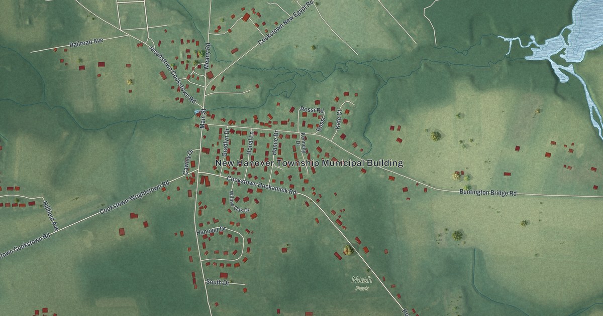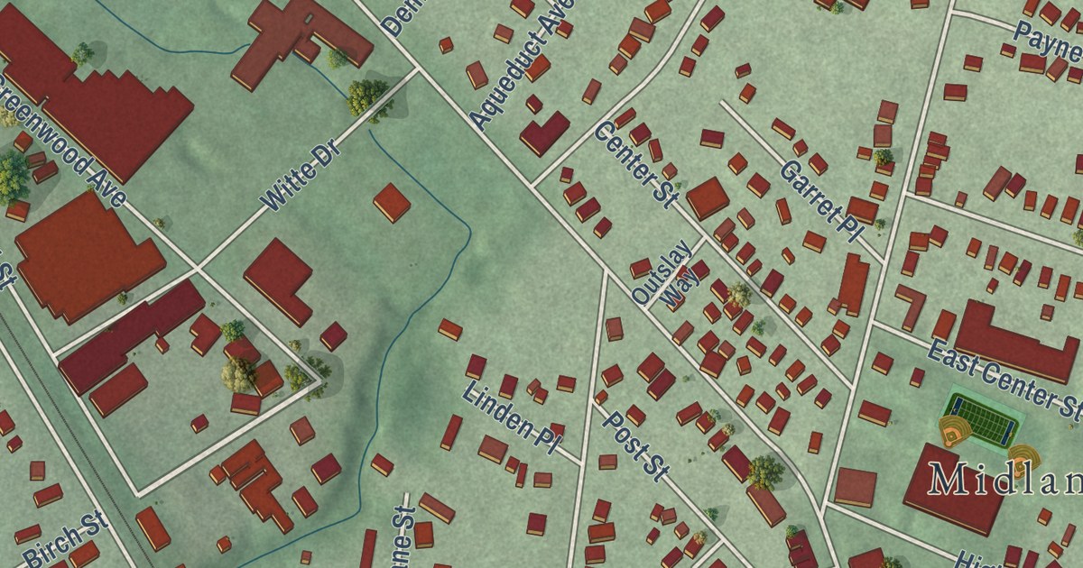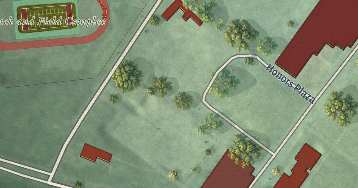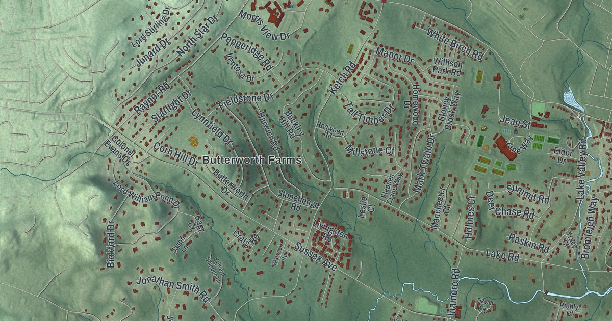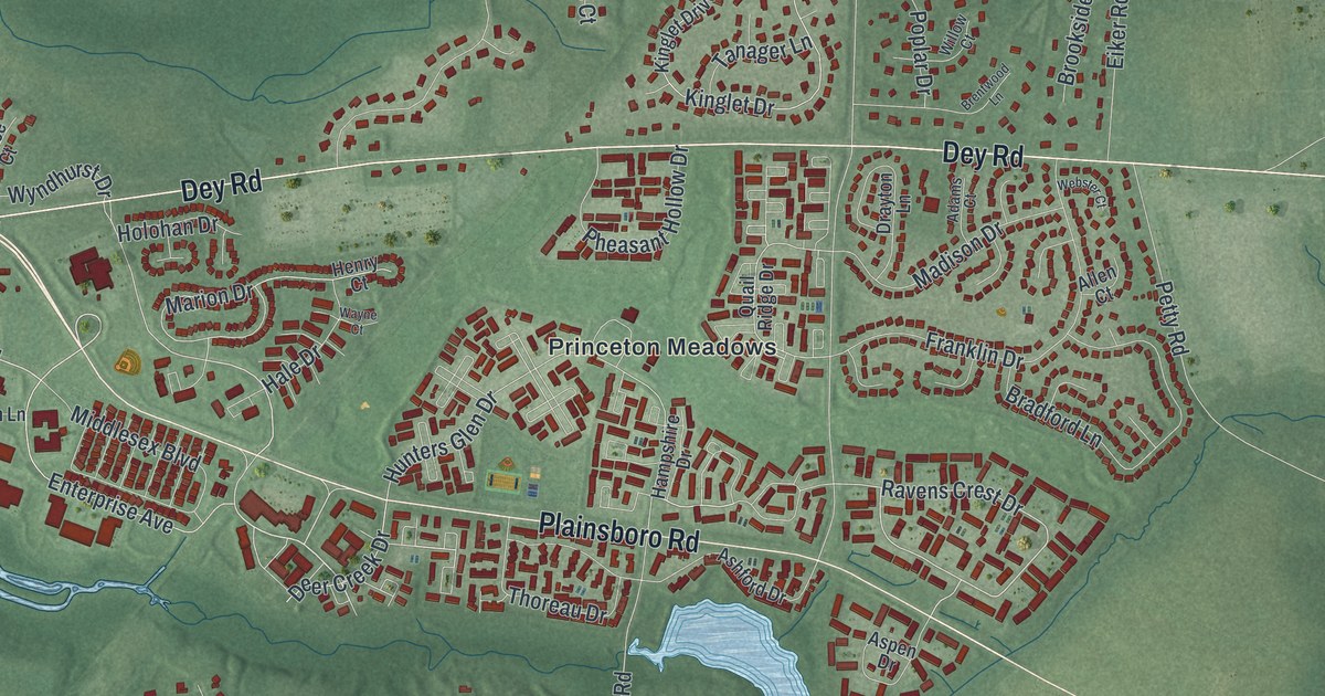
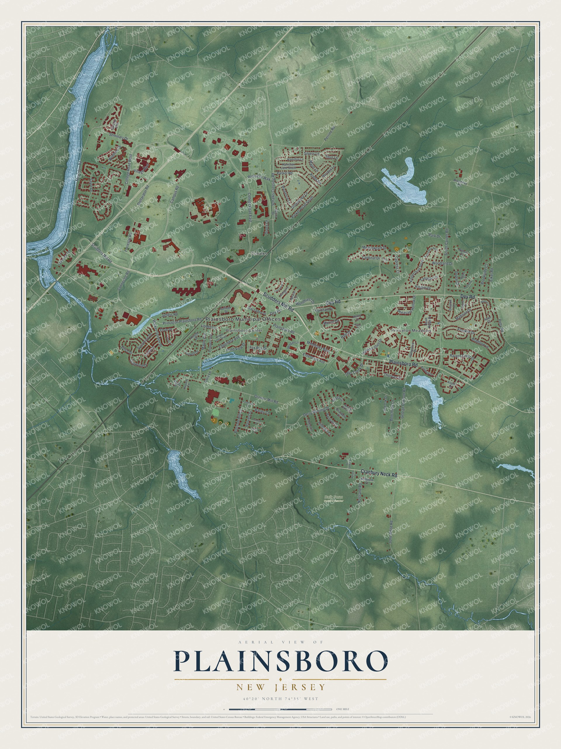
This beautifully detailed map of Plainsboro, New Jersey was created in 2026 using aerial imagery combined with modern topographical, census, street and landmark data. It’s a one-of-a-kind view of Plainsboro that combines accurate data with a vintage aesthetic. The map shows every building in its true location, many of the roads carry their names, and the shaded topographic relief shows the shape of the land.
Explore an aerial view of Plainsboro, New Jersey
On the map you’ll find Plainsboro Municipal Offices, Plainsboro Center, Princeton Meadows, and Schalks, along with Scudders Mill Road, Dey Road, Plainsboro Road, Cranbury Neck Road, and more. If you look closely you can even find your house accurately drawn in its correct location. Zoom in on the preview to look for yours.
Did You Know?
Plainsboro became a township on May 6, 1919, mainly because the area had no schools. Residents pulled land away from South Brunswick and Cranbury to form it. A new school went up soon after. It still stands as J.V.B. Wicoff School, honoring one of the leaders of the effort.
Take a closer look at the Plainsboro map
Names on this map
These names are printed on this map.
Places: Plainsboro Municipal Offices, Bulk Farm Nature Center, Plainsboro Center, Princeton Meadows and Schalks.
Streets and roads: Scudders Mill Road, Dey Road, Plainsboro Road, Cranbury Neck Road, Sayre Drive, Wyndhurst Drive, Princeton Plainsboro Road, Ravens Crest Drive, Enterprise Avenue, College Road East, College Road West, Marion Drive.
More street names, A to Z
Adams Court, Alfalfa Circle, Allen Court, Ashford Drive, Aspen Drive, Barclay Boulevard, Barley Court, Barnyard Court, Beechtree Lane, Birch Drive, Blossom Hill Drive, Bradford Lane, Brentwood Lane, Briardale Court, Broadway Road, Brookside Court, Camas Court, Campus Road, Cardinal Drive, Clydesdale Court, Colonial Court, Connector Road, Cora Lane, Cottonwood Court, Cypress Court, Deer Creek Drive, Derry Meeting Drive, De Sandre Drive, Dogwood Drive, Drayton Lane, Edgemere Avenue, Eiker Road, Elsie Drive, Farmhouse Drive, Forrestal Road, Fox Run Drive, Franklin Drive, George Davison Road, Grace Court, Groendyke Lane, Grovers Mill Road, Hale Drive, Hamilton Lane, Hamilton Lane South, Hampshire Drive, Harvest Drive, Henry Court, Hilltown Court, Holohan Drive, Hunters Glen Drive, Jeffers Road, John White Road, Kinglet Drive, Kinglet Drive North, Kinglet Drive South, Knight Drive, Krebs Road, Lakeview Terrace, Linden Lane, Linden Lane South, Lovell Drive, Mackenzie Lane, Macnamee Street, Madison Drive, Mahogany Court, Major Lane, Maple Avenue, Mapleton Road, Mayfarth Terrace, Meadowlark Drive, Mershon Lane, Middlesex Boulevard, Millstone Court, Morgan Lane, Narrow Brook Court, Nostrand Road, Orchid Drive, Oriole Court, Paddock Drive, Park Drive, Parker Road, Parker Road South, Perrine Road, Petty Road, Pheasant Hollow Drive, Pollack Court, Pond View Drive, Poplar Drive, Prospect Avenue, Quail Ridge Drive, Red Oak Drive, Research Way, Schalks Crossing Road, Scotts Corner Road, Seminary Drive, Serina Drive, Silvers Lane, Spruce Court, Stellarator Road, Stults Drive, Sullivan Street, Sycamore Drive, Tanager Lane, Thoreau Drive, Titus Lane, Village Boulevard, Walker Gorden Drive, Walnut Court, Wayne Court, Webster Court, Willow Court, Windrow Drive, Woodland Drive.
See it on a wall
The Plainsboro map as an 18 x 24 inch print in a black frame.

This beautifully detailed map of Plainsboro makes an attractive addition to your office, library, or den, and it can even be used to teach children the geography and history of the area. It also makes a great gift for someone who left Plainsboro and still calls it home. When you’re done exploring, click here to get your copy of the Plainsboro map.