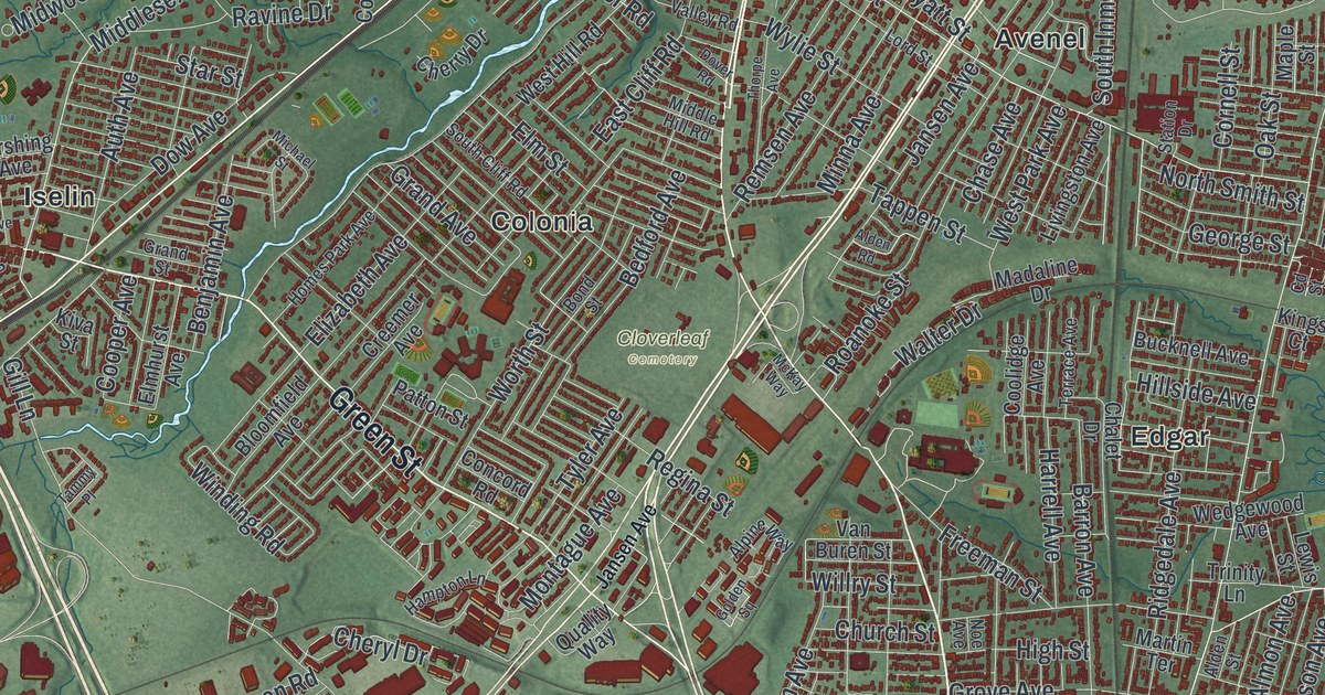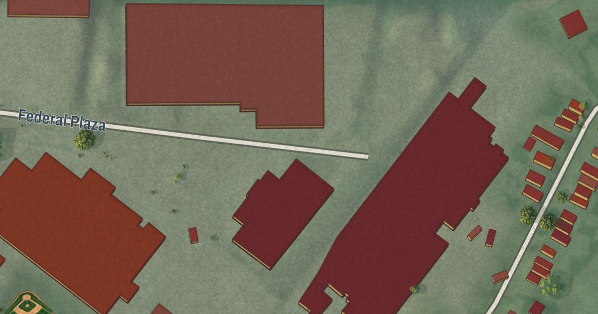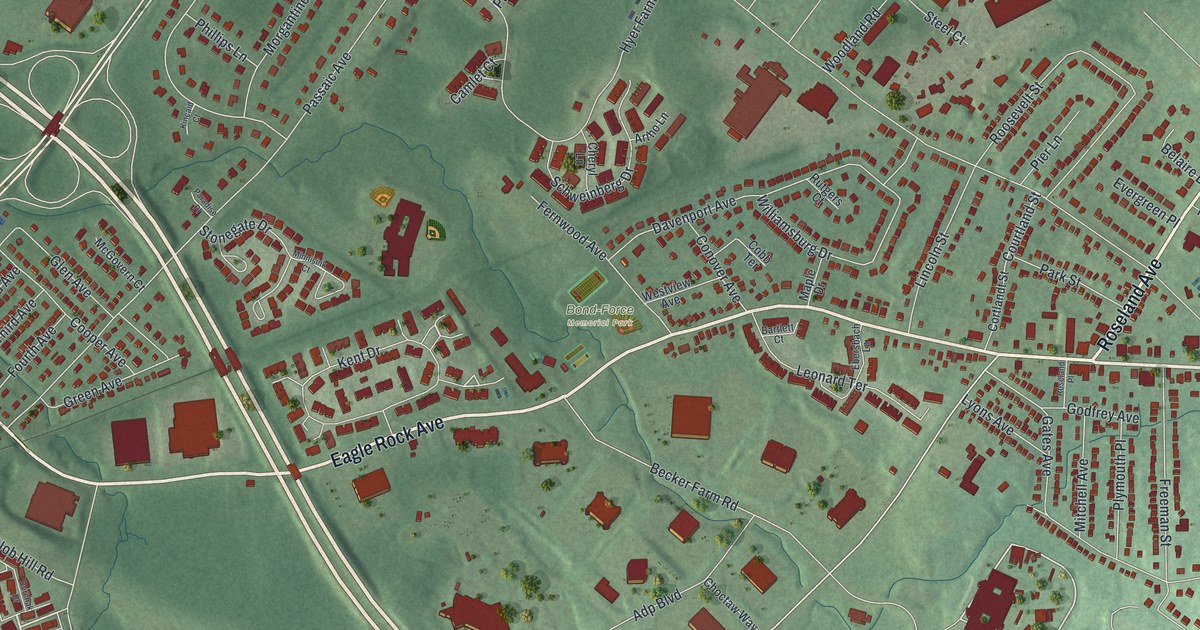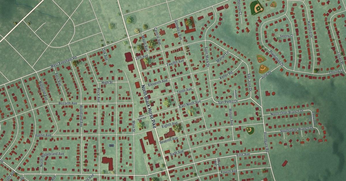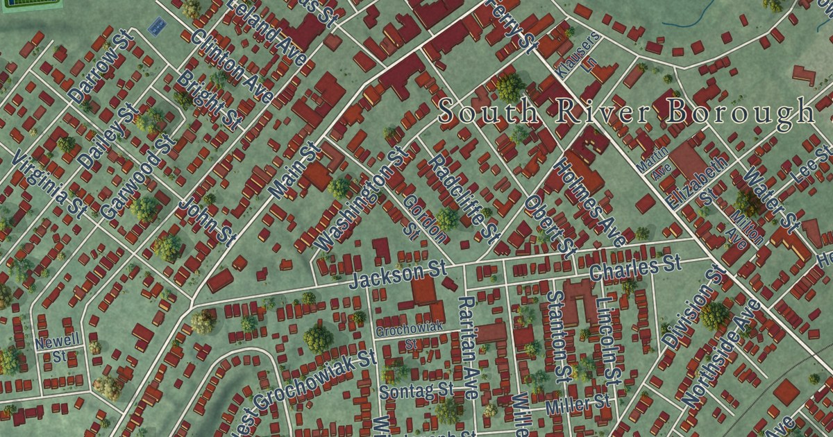
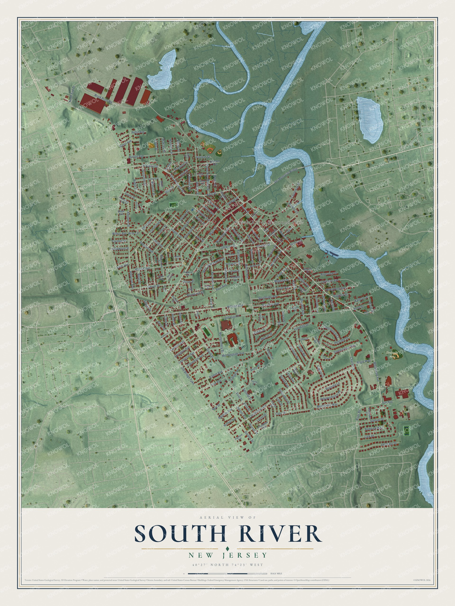
This beautifully detailed map of South River, New Jersey was created in 2026 using aerial imagery combined with modern topographical, census, street and landmark data. It’s a one-of-a-kind view of South River that combines accurate data with a vintage aesthetic. The map shows every building in its true location, many of the roads carry their names, and the shaded topographic relief shows the shape of the land.
Explore an aerial view of South River, New Jersey
On the map you’ll find South River Borough Hall, Vet Memorial Bridge, Washington Monumental Cemetery, Grekoski Park, and Causeway Park, along with Whitehead Avenue, Prospect Street, Hillside Avenue, and more. If you look closely you can even find your house accurately drawn in its correct location. Zoom in on the preview to look for yours.
Did You Know?
South River has worn many names. From 1683 people called it South River Landing. In 1720 it became Willettstown, after settler Samuel Willett. Original settler Abraham Barkelew suggested the name Washington, adopted in 1784. In 1870 the town took the name South River, after the Raritan tributary at its edge.
Take a closer look at the South River map
Names on this map
These names are printed on this map.
Places: South River Borough Hall and Grekoski Park.
Streets and roads: Whitehead Avenue, East Prospect Street, Vet Memorial Bridge, Hillside Avenue, Sheldon Avenue, Pulawski Avenue, Prospect Street, Gaszi Avenue, First Street, Paul Avenue, Old Bridge Turnpike, Kamm Avenue.
More street names, A to Z
Albert Street, Albourne Avenue, Albourne Street, Alexander Court, Allgair Street, Amherst Street, Anne Street, Appleby Avenue, Arlington Avenue, Armstrong Avenue, Augusta Street, Belmont Avenue, Beryl Street, Brant Street, Brennig Place, Brick Plant Road, Bright Street, Browns Lane, Bryan Street, Burton Avenue, Capital Court, Carmen Street, Caroline Drive, Causeway Street, Charles Street, Charter Drive, Chestnut Street, Claremont Avenue, Clark Street, Cleveland Avenue, Clinton Avenue, Cole Street, Colfax Street, Colin Drive, Congress Lane, Constitution Way, Continental Court, Dailey Street, Darrow Street, David Street, Devoe Street, Division Street, Draeger Place, Eastern Street, East Street, Edgewood Street, Elizabeth Street, Essex Street, Exton Street, Fairview Avenue, Ferris Street, Ferry Street, Fifth Street, Florence Street, Foothills Drive, Ford Street, Fourth Street, Frandsen Avenue, Franklin Street, Frank Street, Garden Street, Garwood Street, George Street, Gordon Street, Grand Avenue, Grant Street, Grochowiak Street, Grove Street, Henry Avenue, Herbert Street, Heritage Drive, Herman Street, Highland Avenue, High Street, Hollander Street, Hollywood Street, Holmes Avenue, Icker Avenue, Independence Place, Ivan Way, Jackson Street, James Street, Jeffrie Avenue, Johnson Place, John Street, Joseph Street, June Street, Kathryn Street, Klausers Lane, Kuberski Court, Lark Drive, Lee Street, Leland Avenue, Leonardine Avenue, Leroy Street, Levinson Avenue, Lexington Avenue, Lincoln Street, Lisa Drive, Louis Street, Lyons Street, Mageira Street, Main Street, Maklary Street, Mako Court, Maple Avenue, Maple Street, Marie Street, Marion Street, Martin Avenue, McPherson Place, Mercer Street, Miller Street, Milton Avenue, Mitchell Avenue, Montgomery Street, Monticello Way, Monush Street, Morningside Avenue, Newell Street, New Street, North End Drive, Northern Street, Northside Avenue, Oak Street, Obert Street, Obrien Avenue, Olchaskey Avenue, Park Avenue, Pershing Avenue, Pettit Avenue, Phillip Street, Pierson Street, Pottery Lane, Prentice Avenue, Price Place, Radcliffe Street, Raritan Avenue, Raymond Place, Redwick Way, Reid Street, Ridge Road, River Road, Riverview Drive, Robert Street, Roosevelt Street, Rose Street, Rotunda Lane, Rubin Street, Samuel Drive, Schack Avenue, Scheinfein Street, Second Street, Seppi Avenue, Serviss Street, Snapper Avenue, Sontag Street, Southside Avenue, Stanton Street, Stephen Street, Summit Road, Sunset Avenue, Sunset Street, Sussex Court, Terry Avenue, Theresa Place, Thomas Street, Tice Avenue, Union Avenue, Veterans Drive, Virginia Street, Washington Street, Water Street, Watts Street, West George Street, West Grochowiak Street, Wilbur Avenue, Wilbur Street, Wilcox Avenue, Wilcox Place, Willett Avenue, William Street, Wilson Avenue, Wojie Way, Woodlawn Avenue, Yates Avenue.
See it on a wall
The South River map as an 18 x 24 inch print in a black frame.

This beautifully detailed map of South River makes an attractive addition to your office, library, or den, and it can even be used to teach children the geography and history of the area. It also makes a great gift for anyone with South River roots. When you’re done exploring, click here to get your copy of the South River map.