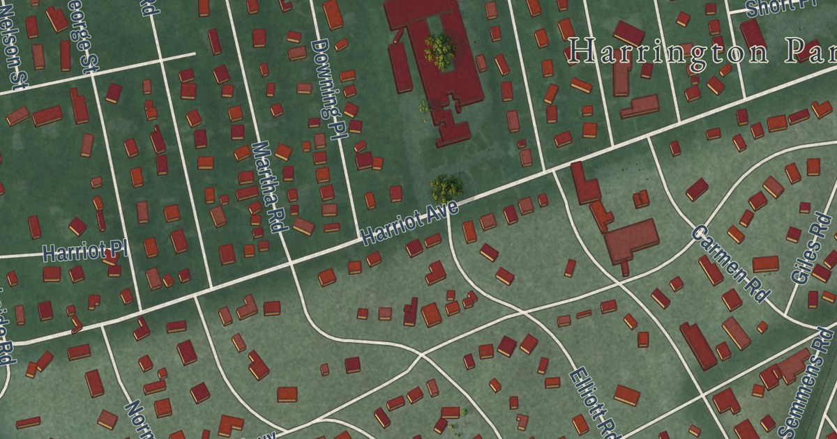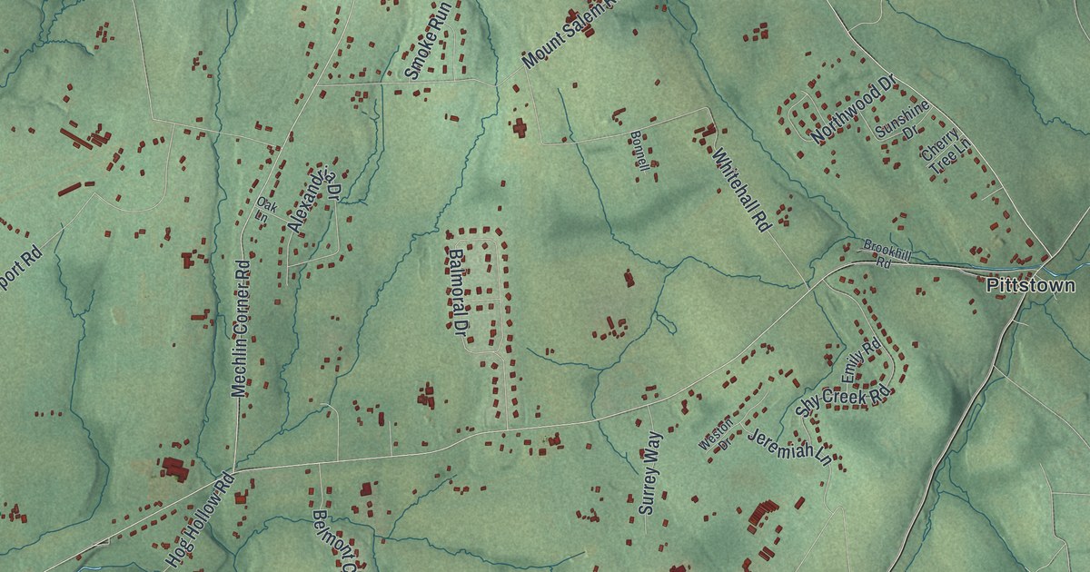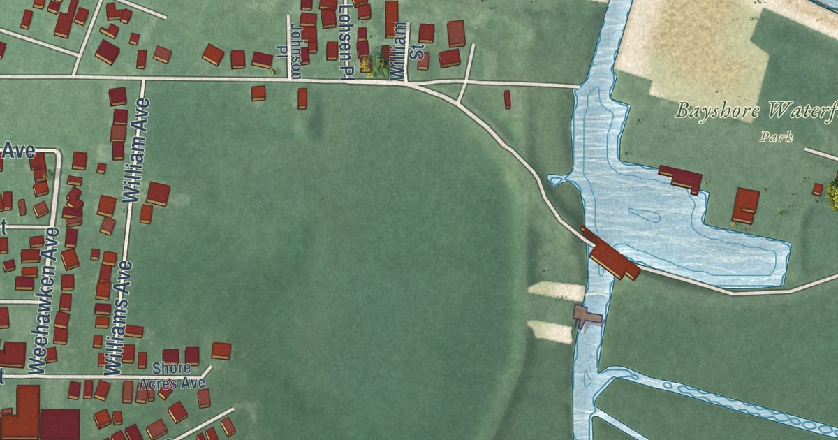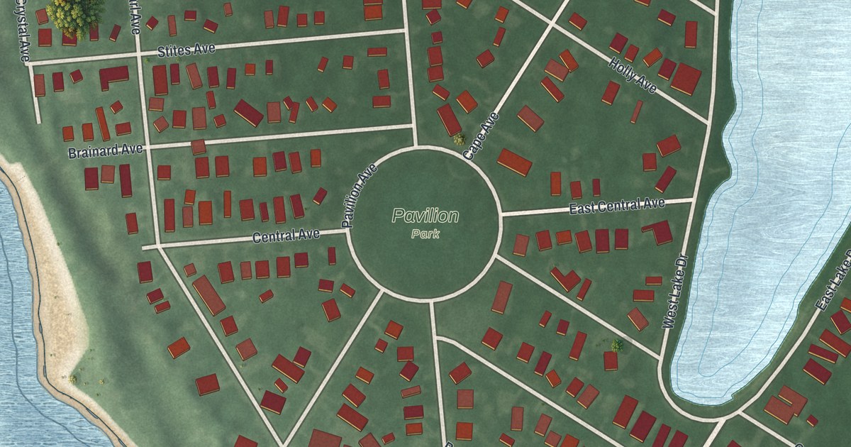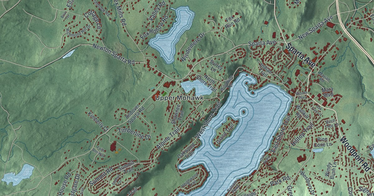
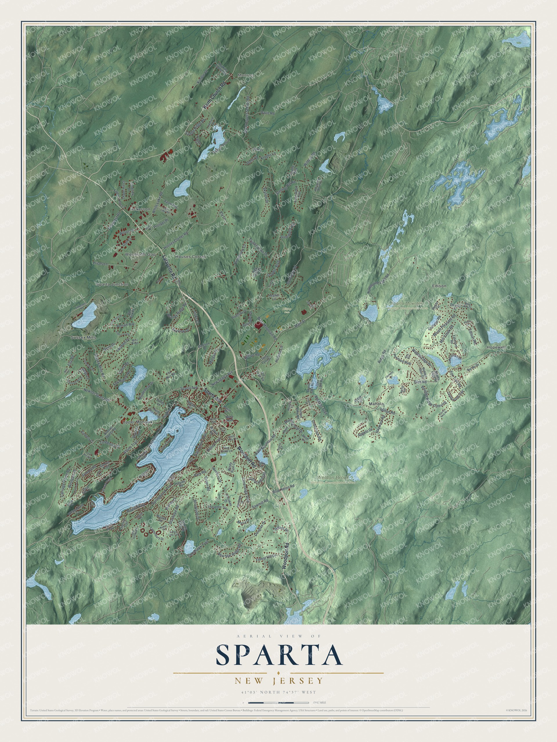
This beautifully detailed map of Sparta, New Jersey was created in 2026 using aerial imagery combined with modern topographical, census, street and landmark data. It’s a one-of-a-kind view of Sparta that combines accurate data with a vintage aesthetic. The map shows every building in its true location, many of the roads carry their names, and the shaded topographic relief shows the shape of the land.
Explore an aerial view of Sparta, New Jersey
On the map you’ll find Monroe, Ackerson, Edison, Hopewell, Houses Corner, Hilltop Park, Sparta Mountain Wildlife Management Area, and Weldon Brook Wildlife Management Area, along with Woodport Road, Lafayette Road, Sparta Avenue, Church Road, Stanhope Road, and more. If you look closely you can even find your house accurately drawn in its correct location. Zoom in on the preview to look for yours.
Did You Know?
No one settled here for good until 1778. That year Robert Ogden and his wife built a home and an iron forge on land he had bought. The couple called their house and farm Sparta, and the town still carries that name.
Take a closer look at the Sparta map
Names on this map
These names are printed on this map.
Places: Monroe, Hilltop Park, Sparta Mountain Wildlife Management Area, Weldon Brook Wildlife Management Area, Ackerson, Edison, Hopewell, Houses Corner, Mahola, Sparta Junction, Sussex Mills, Upper Mohawk and Woodruffs Gap.
Streets and roads: Woodport Road, Lafayette Road, Sparta Avenue, North Church Road, Stanhope Road, Main Street, East Shore Trail, Graphic Boulevard, West Shore Trail, Houses Corner Road, New Sparta Avenue, Triple Crown Drive.
More street names, A to Z
Aaron Way, Alpine Trail, Andover Sparta Road, Angelo Drive, Arapaho Trail, Arielle Way, Balsam Parkway, Bel Air Drive, Benham Way, Birch Parkway, Birch Tree Lane, Blue Heron Road, Boulder Ridge Crossing, Brandy Ridge Road, Briar Terrace, Brookside Drive, Camelot Road, Canterbury Drive, Carpenters Place, Carriage House Road, Castlewood Trail, Cedar Falls Terrace, Chapel Hill Court, Cherokee Court, Cheyenne Trail, Conestoga Trail, Cottage Lane, Cottonwood Trail, Crownview Court, Crystal Rock Road, Dahn Drive, Davis Road, Deire Drive, Demarest Road, Doe Run, Dorothy Drive, Douglas Drive, East Mountain Road, Edelweiss Lane, Edison Road, Edison Terrace, Ella Road, Ely Lane, Fairmont Road, Fairway Trail, Faith Ann Way, Farmbrook Road, Father Johns Lane, Fieldview Drive, Forest Hill Drive, Fox Hollow Road, Fox Run Road, Fox Trail Road, Gail Court, Glen Lake Road, Glen Road, Glenside Trail, Greenfield Hill, Green Road, Grove Terrace, Hawthorne Lake Road, Hayward Road, Heather Lane, Heighwood Trail, Heritage Drive, Hidden Glen Drive, High Crest Drive, Hillside Road, Hilltop Trail, Holland Circle, Hopkins Corner Road, Indian Trail, Island Trail, Kair Lane, Kimberly Court, Kimble Lane, King Alex Court, Kroghs Lane, Lakefield Terrace, Lake Grinnell Lane, Lake Shore Drive, Lake Terrace, Lambert Drive, Layton Lane, Limecrest Road, Links Court, Longview Road, Madison Drive, Manor Drive, Maple Parkway, Mara Boulevard, Maria Drive, Marian Road, Maxie Lane, Meadow Lane, Megan Terrace, Mill Creek Road, Mills Ridge, Milton Road, Morgan Drive, Morning Star Drive, Morris Lake Road, Mount Pleasant Road, Natale Drive, New Star Ridge Road, Newton Sparta Road, North Shore Trail, Oak Hollow Lane, Oak Parkway, Oak Tree Lane, Oakwood Trail, Old Forge Road, Old Prospect School Road, Oriole Terrace, Park Lake Road, Park Road, Pegasus Trail, Pheasant Walk, Pine Cone Lane, Prices Lane, Prides Crossing, Primrose Lane, Prosper Place, Radcliffe Drive, Richmond Hill Drive, Ridge Road, Ridge Terrace, Rogers Lane, Rose Lane, Saddle Ridge Road, Sawmill Road, Schindler Drive, Scudders Road, Seneca Lake Road, Seneca Lake Trail, Sharon Drive, Shawnee Trail, Sierra Place, Signal Hill Trail, Skyline Drive, Skyview Drive, Spring Avenue, Springbrook Trail, Station Road, Sterling Hill Road, Summit Road, Summit Terrace, Summit Trail, Sunset Lake Road, Surrey Lane, Sussex Mills Road, Terry Lynn Drive, Timberline Drive, Tomahawk Trail, Tracey Lane, Underrock Drive, Underrock Road, Valley Road, Valley View Trail, Van Kirk Place, Wallkill Road, Warren Court, Warren Road, Waters Edge Drive, Waters Edge Road, Westbury Drive, Westgate Drive, West Mountain Road, Whippoorwill Lane, Whispering Woods Lane, White Lake Road, Wildcat Road, Wilson Drive, Windemere Drive, Windy Bush Lane, Winona Parkway, Woodbine Terrace.
See it on a wall
The Sparta map as an 18 x 24 inch print in a black frame.

This beautifully detailed map of Sparta makes an attractive addition to your office, library, or den, and it can even be used to teach children the geography and history of the area. It also makes a great gift for anyone with Sparta roots. When you’re done exploring, click here to get your copy of the Sparta map.