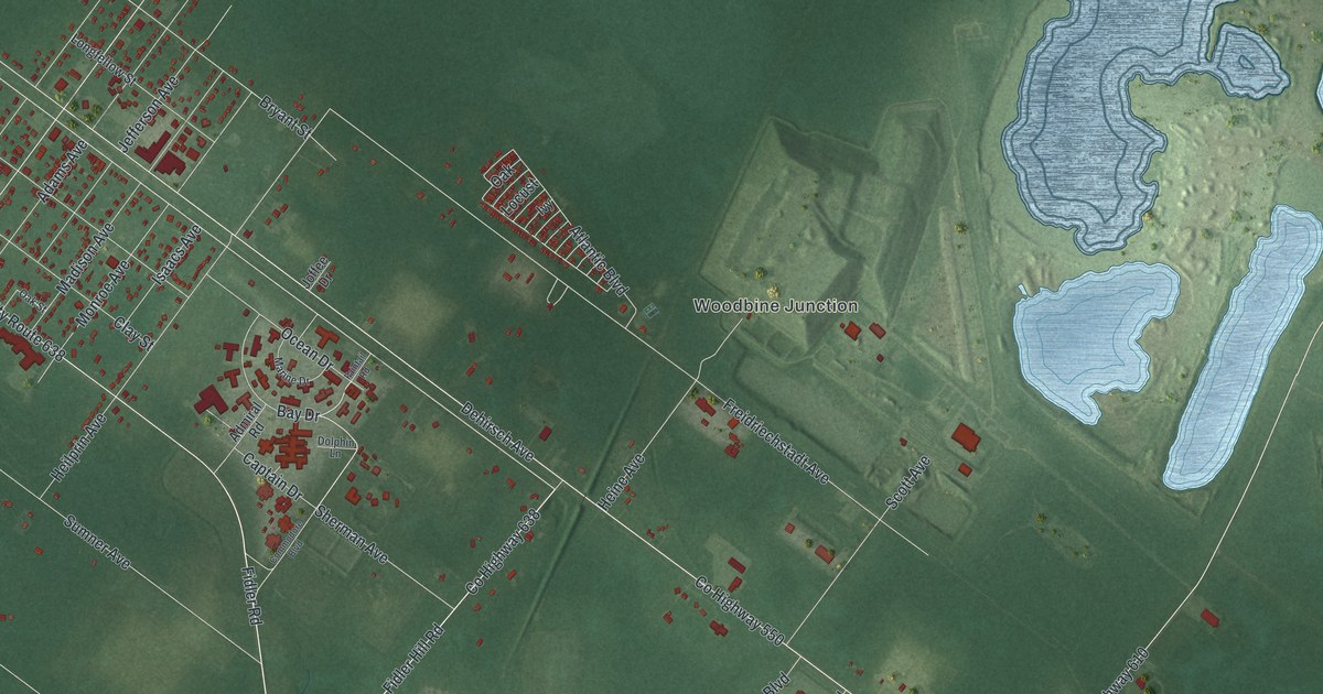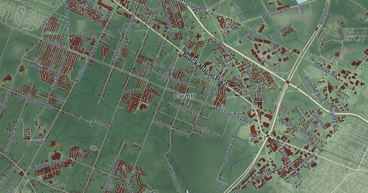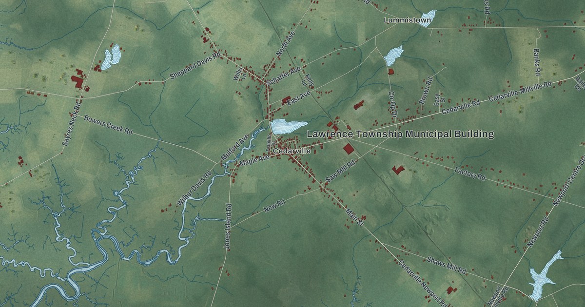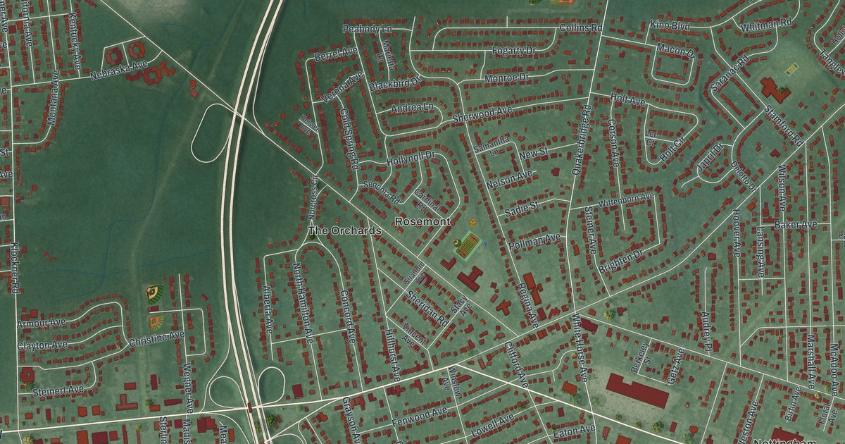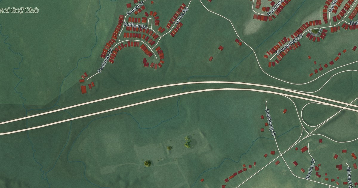
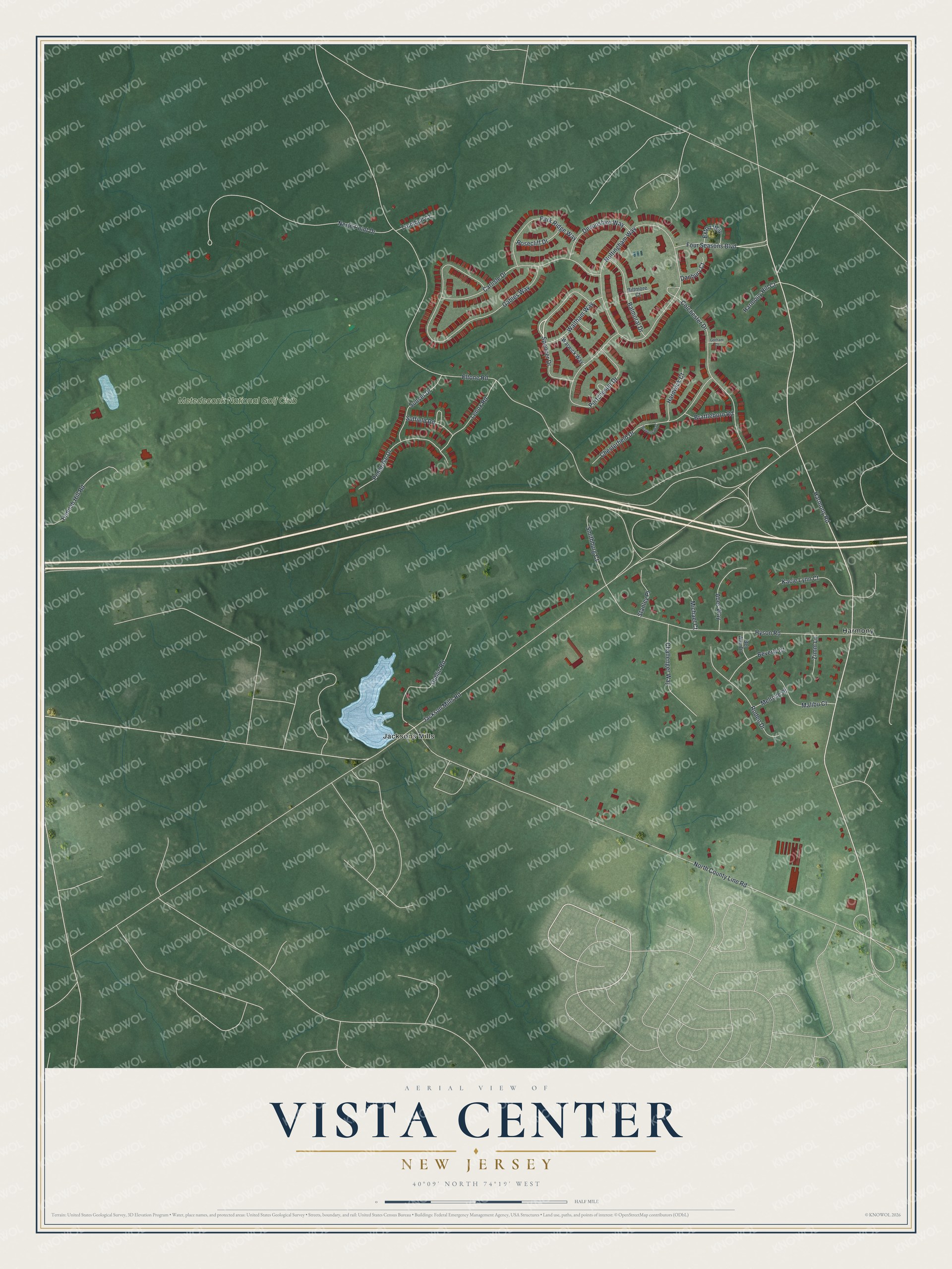
This beautifully detailed map of Vista Center, New Jersey was created in 2026 using aerial imagery combined with modern topographical, census, street and landmark data. It's a modern aerial view of Vista Center in Ocean County, New Jersey, that combines modern data with a vintage aesthetic. The roads feature printed names, and if you look closely you can find your exact house accurately shown in its correct location.
Explore an aerial view of Vista Center, New Jersey
On this map you'll find Harmony, Jacksons Mills, Metedeconk National Golf Club, Harmony Road, Spencer Drive, Eltone Road, Jackson Mills Road, North County Line Road, Nottingham Way, Gables Way, Hyson Road, North Point Drive, and more. Each red shape is a building, so zoom in on the preview and look for yours.
Vista Center is a community in Ocean County. The Census Bureau counted 2,370 people here in 2020. Vista Center sits about 5 miles south of West Freehold, 7 miles northwest of Lakewood and 7 miles south of Freehold. The map prints the town name in its title panel, with the coordinates below it.
Take a closer look at the Vista Center map
Names on this map
These names are printed on this map.
Places: Harmony, Jacksons Mills and Metedeconk National Golf Club.
Streets and roads: Harmony Road, Spencer Drive, Eltone Road, Jackson Mills Road, North County Line Road, Nottingham Way, Gables Way, Hyson Road, North Point Drive, Colchester Drive, Portchester Drive, Carlisle Drive.
More street names, A to Z
Abes Way, Balmoral Drive, Bel Aire Drive, Beverly Court, Biltmore Court, Brattleboro Road, Challenger Way, Chesterfield Drive, Danbury Court, Devonshire Way, Dublin Road, Exton Way, Four Seasons Boulevard, Gorham Court, Hannah Hill Road, Hardwick Court, Harmony Hill Court, Kacie Lynn Court, Lenox Road, Malibu Court, Melrose Place, Michael Court, Park Ridge Way, Penbroke Drive, Rodeo Drive, Rosecliff Drive, Smithburg Court, Stanley Place, Sunset Drive, Sutfield Road, Trumbull Court, Walpole Way, Waltham Way, Warwick Way, Zimm Lane.
See it on a wall
The Vista Center map as a framed print. Swipe for more.


Created by KNOWOL in 2026. The buildings are small red shapes, the roads carry their printed names, and shaded relief shows the shape of the land. The title panel reads "AERIAL VIEW OF VISTA CENTER, NEW JERSEY" with 40°09' NORTH 74°19' WEST.
It suits a den, a classroom or a front hall, and it makes a gift for anyone with Vista Center roots. Open the preview and find the block you know. See sizes and frames for the Vista Center map.