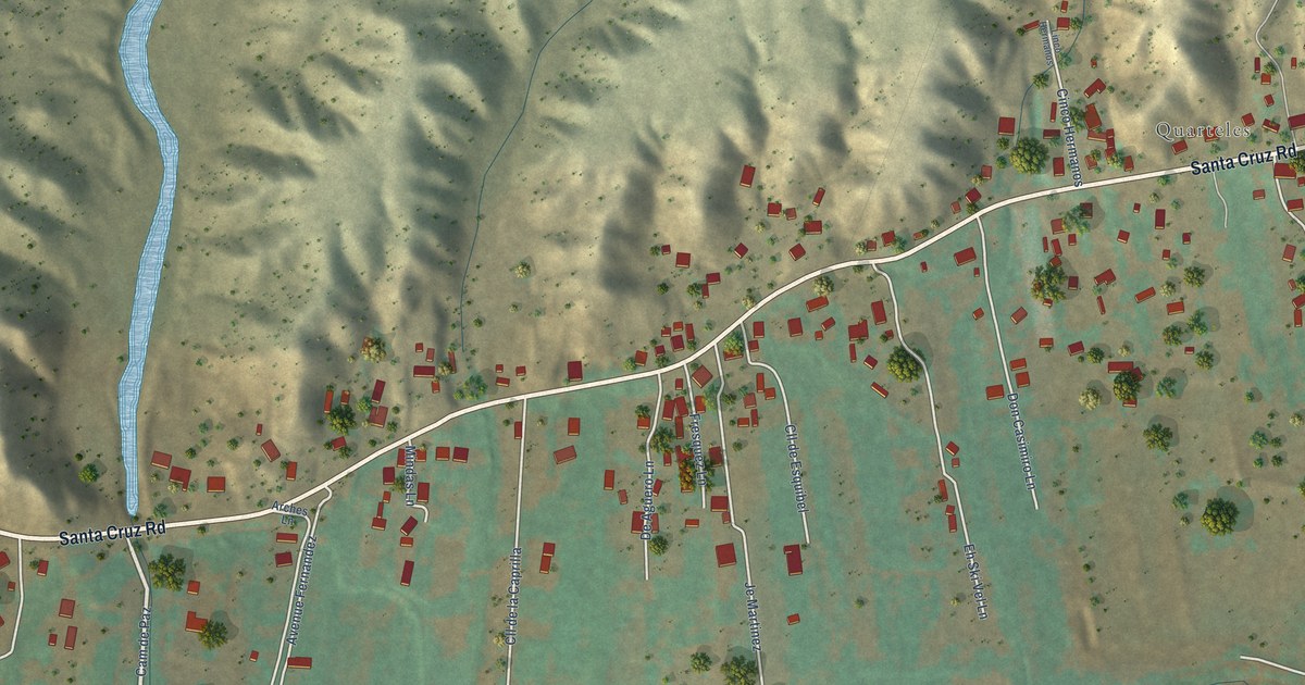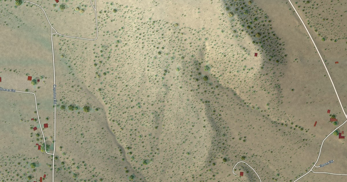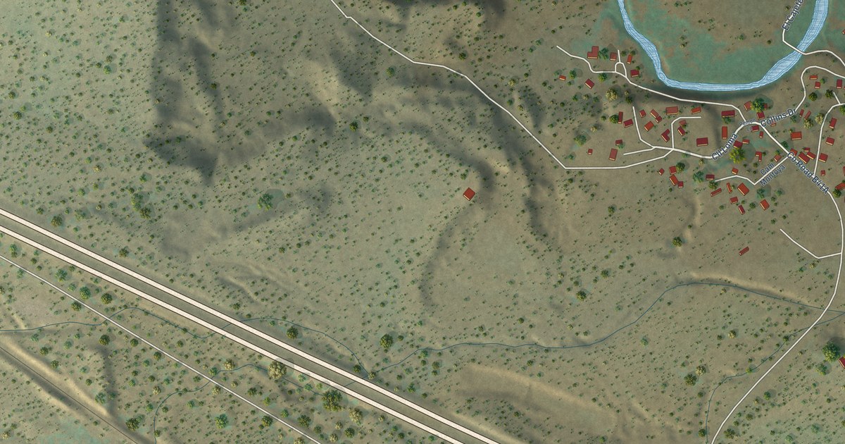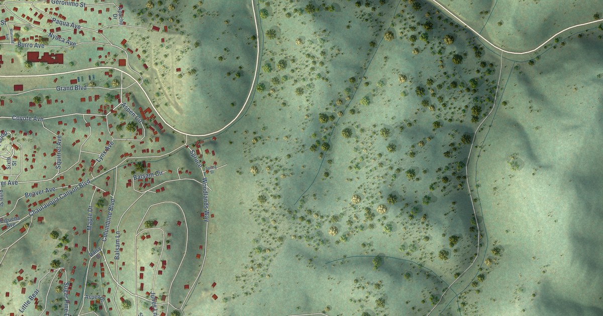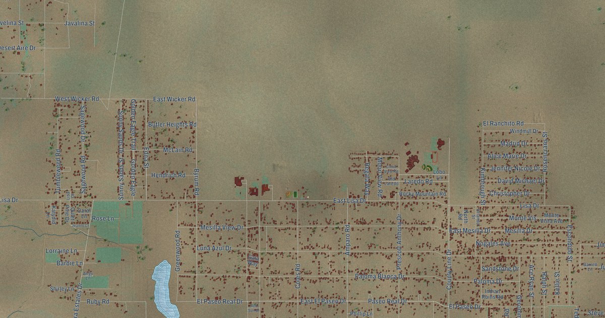
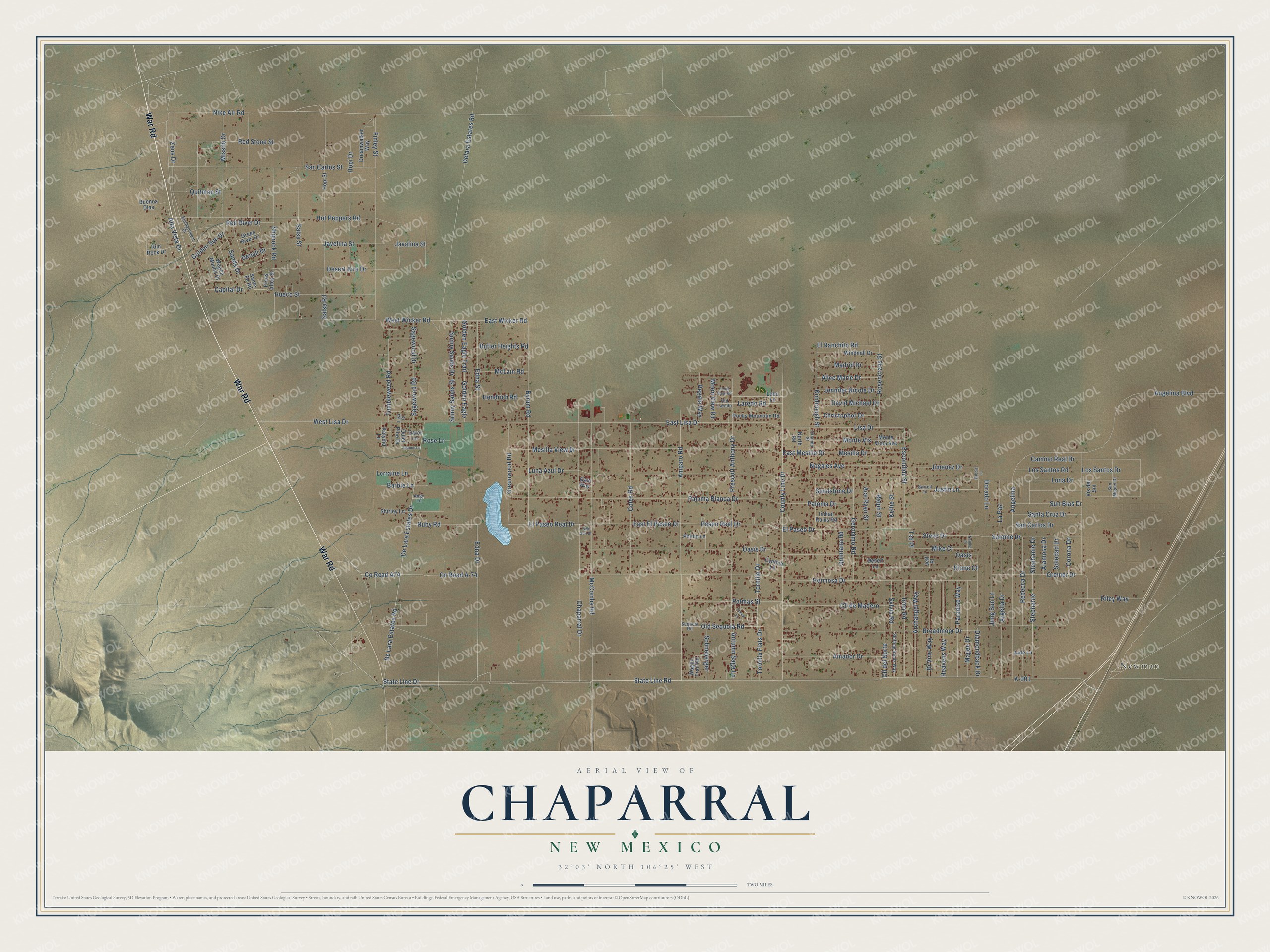
This beautifully detailed map of Chaparral, New Mexico was created in 2026 using aerial imagery combined with modern topographical, census, street and landmark data. It's a modern aerial view of Chaparral in Doña Ana County, New Mexico, that combines modern data with a vintage aesthetic. The roads feature printed names, and if you look closely you can find your exact house accurately shown in its correct location.
Explore an aerial view of Chaparral, New Mexico
On this map you'll find Newman, War Road, State Line Drive, Co Road A74, Co Road A-74, Amparo Road, State Line Road, Zeus Drive, East Wicker Road, Edna Drive, Hermosa Drive, Edna Street, and more. Each red shape is a building, so zoom in on the preview and look for yours.
Chaparral has a story worth telling. The first records of settlement around Chaparral date from the turn of the 20th century, when the government gave out land to homesteaders. In the 1950s P.K. Colquitt bought 1,600 acres from his stepfather, A.D. Greenwood, and in the 1960s he and his son John B. Colquitt began selling lots that grew into a small city. Around town, some people called John Colquitt the unofficial mayor, and others called him the town's father. That's from the Searchlight New Mexico.
Chaparral is a community in Doña Ana County. The Census Bureau counted 16,551 people here in 2020.
Take a closer look at the Chaparral map
Names on this map
These names are printed on this map.
Places: Newman.
Streets and roads: War Road, State Line Drive, County Road A74, County Road A-74, Amparo Road, State Line Road, Zeus Drive, East Wicker Road, Edna Drive, Hermosa Drive, Edna Street, Byrum Road.
More street names, A to Z
A-001, Ace Ryan Street, Alamosa Drive, Alice Marie Drive, Alta Vista Drive, Amador Drive, Angelina, Angelina Boulevard, Angy Lane, Archangel Way, Argelia Drive, Autumn Sage Lane, Barbie Lane, Bobbie Lane, Broadmoor Drive, Buenos Dias, Butler Heights Road, Camino Real Drive, Capital Drive, Carol Lane, Chaparral Drive, Christopher Drive, Cll del Norte, Cll de Madero, Cloud View Road, Coles Road, Corona Drive, County Line Drive, Cynthia Lane, David Michael Drive, De Lara Estates Drive, Delara Estates Road, De Lara Estates Road, Denali Drive, Desert Aire Drive, Desert Lane, Diamondback Drive, Diane Court, Di Vine Way, Dorado Lane, Dreamwalker Way, East El Paseo Drive, East Lisa Drive, East Mesilla Drive, El Paseo Drive, El Paseo Real Drive, El Ranchito Road, Enchantment Drive, Escondido Street, Finley Street, Gala Way, Garrell Lane, Geronimo Road, Golden Eagle, Golden Eagle Trail, Golden Sun Drive, Green River Drive, Greenwood Road, Greiner Drive, Heavens Way, Hendrich Road, Hopi Drive, Hopi Street, Hot Peppers Road, Hueco Street, Indian Ruins Road, Irma Road, Jade Lane, Javalina Street, Javelina Street, Jeanne Lane, Jeff Place, Jennifer Nicole Drive, Jimenez Drive, Jung Sun Lane, Justin Lane, Katydid Lane, Kellie Street, Kimbrough Street, La Paz, Laredo Road, Lisa Court, Lisa Drive, Lobo Lane, Lorraine Lane, Los Santos Drive, Los Santos Road, Luna Azul Drive, Luna Drive, Madrid Drive, Magee Drive, McCombs Road, McLain Road, Mesilla Drive, Mesilla View Drive, Mike Court, Missile Drive, Monte Vis, Monte Vista Avenue, Moon View Road, Natalie Place, Nike Air Road, Nogales Avenue, North Road, Oasis, Oasis Drive, Old Laredo, Old Sequoia Road, Orlando Street, Palmas Street, Paloma Blanca Drive, Paloma Drive, Paradise Way, Paseo Real Drive, Phillip Lane, Pinos Altos Street, Prescott Anthony Drive, Quiet Pine Drive, Quintana Road, Quitman Street, Ralph Street, Rebecca Drive, Red River Drive, Red Stone Street, Red Sun Drive, Regala Way, Riley Way, Rim Rock Drive, Rocky Mountain Road, Rose Lane, Rosencrans Street, Ruby Road, Sagewood Drive, Sagewood Road, Salome Drive, Salsa Road, Salsa Street, San Carlos Drive, San Carlos Street, Sands Drive, Sandstone Drive, San Miguel Drive, Santa Cruz Drive, Sante Fe Road, Schneberger, Sequoia Road, Shifting Sands Way, Shiprock Road, Shirley Lane, Soledad Drive, Stephanie, Stephanie Drive, Steve Drive, Sun Blas Drive, Sunny Sands Drive, Sunny Sands Street, Sylvia Road, Ted Place, Tornillo Drive, Tornillo Flats Drive, Tumbleweed Road, Vis del Sol, Wagon Mound Drive, Wagon Trail Road, West Lisa Drive, West Wicker Road, Windmill Drive, Yucca Lane.
See it on a wall
The Chaparral map as a framed print. Swipe for more.


Created by KNOWOL in 2026. The buildings are small red shapes, the roads carry their printed names, and shaded relief shows the shape of the land. The title panel reads "AERIAL VIEW OF CHAPARRAL, NEW MEXICO" with 32°03' NORTH 106°25' WEST.
It looks right in a kitchen, an office or a den, and it's a gift for anyone who grew up in Chaparral or moved away. Open the preview and find your street. See sizes and frames for the Chaparral map.