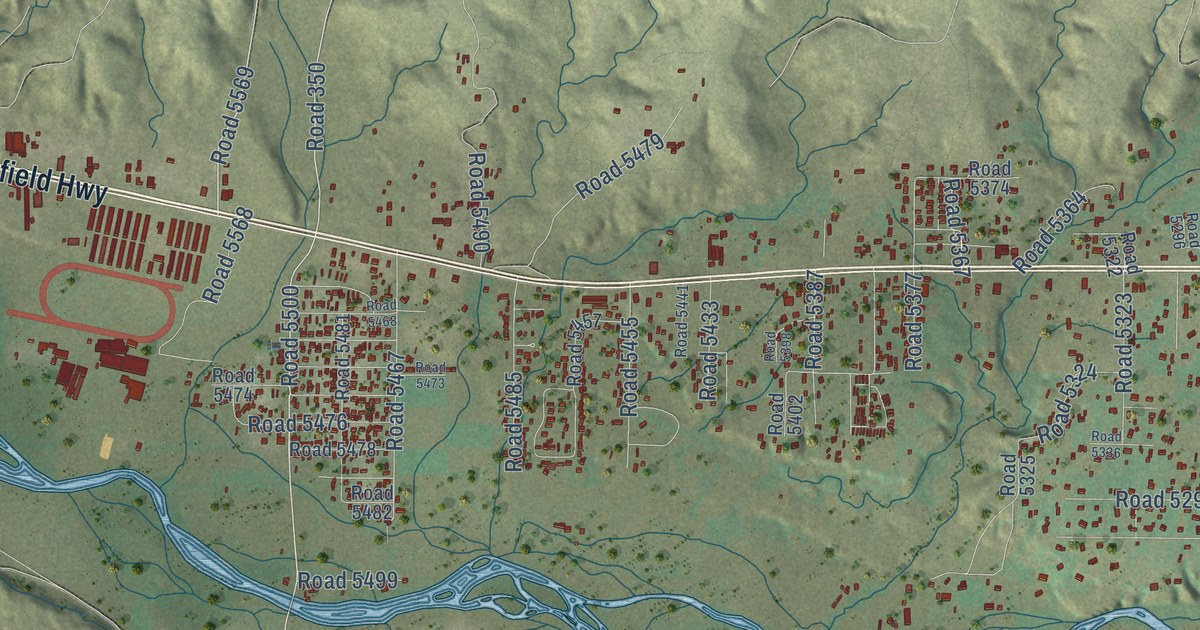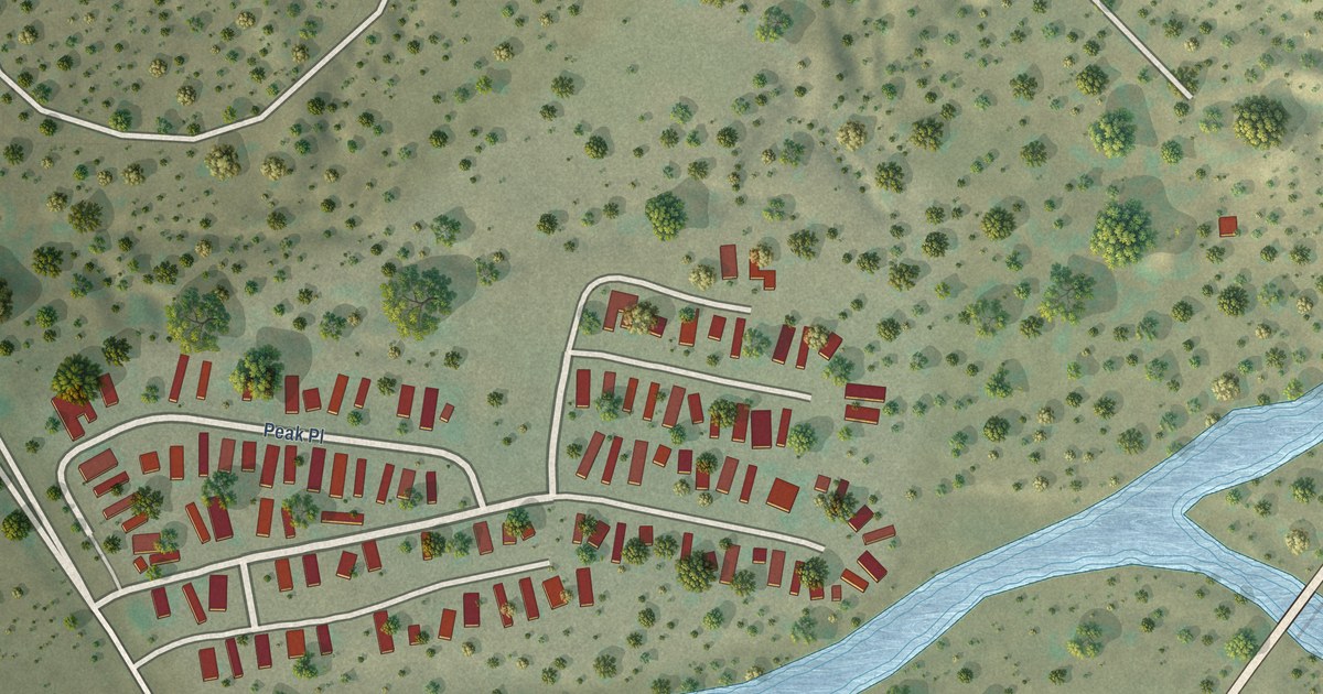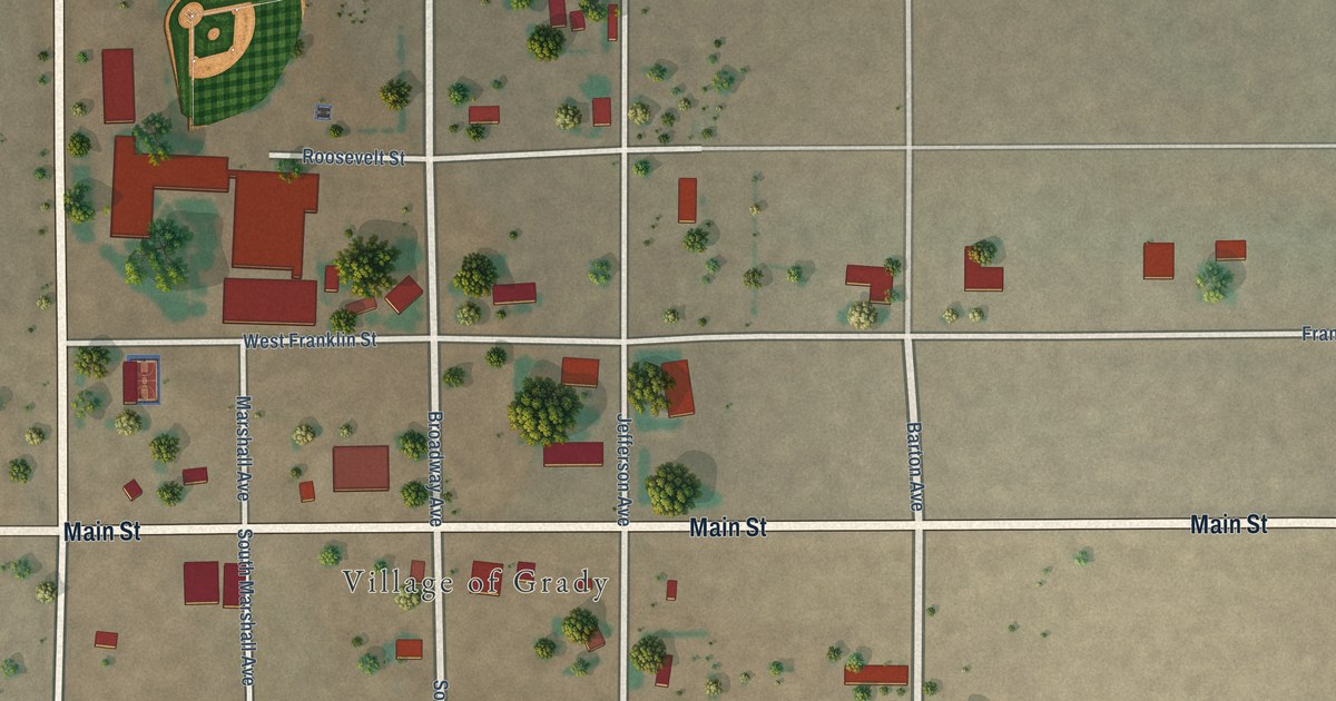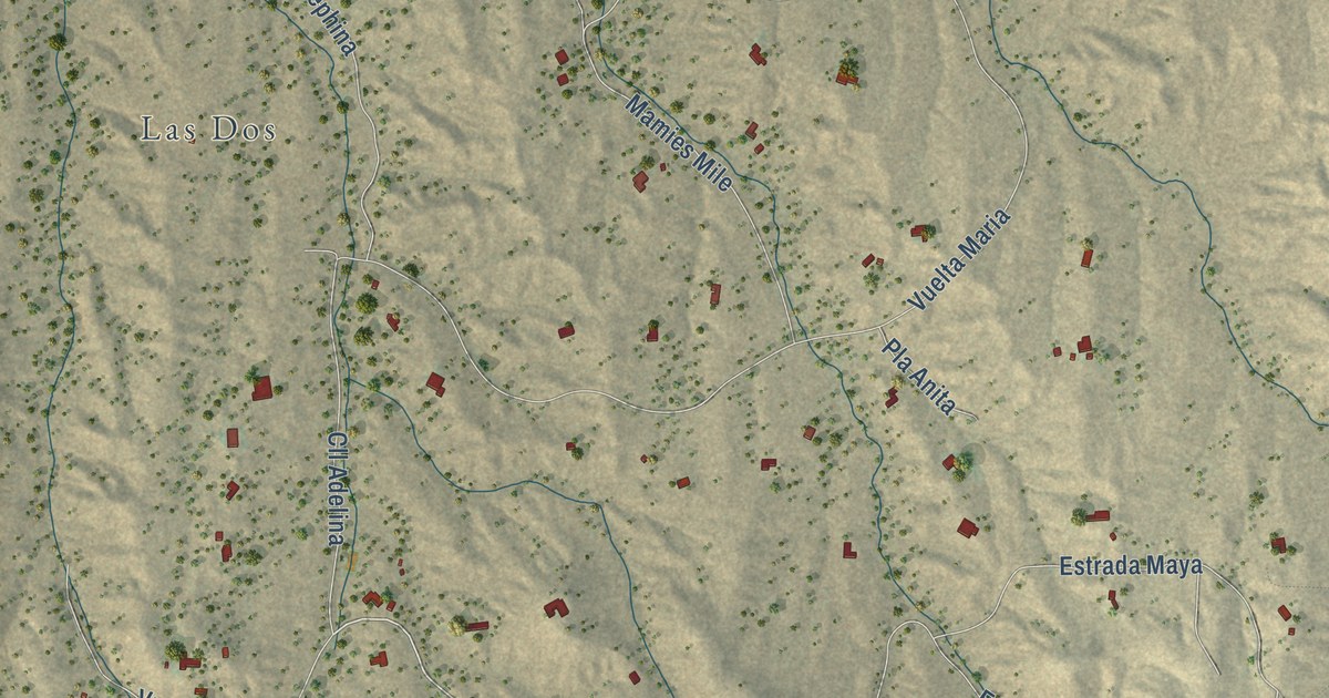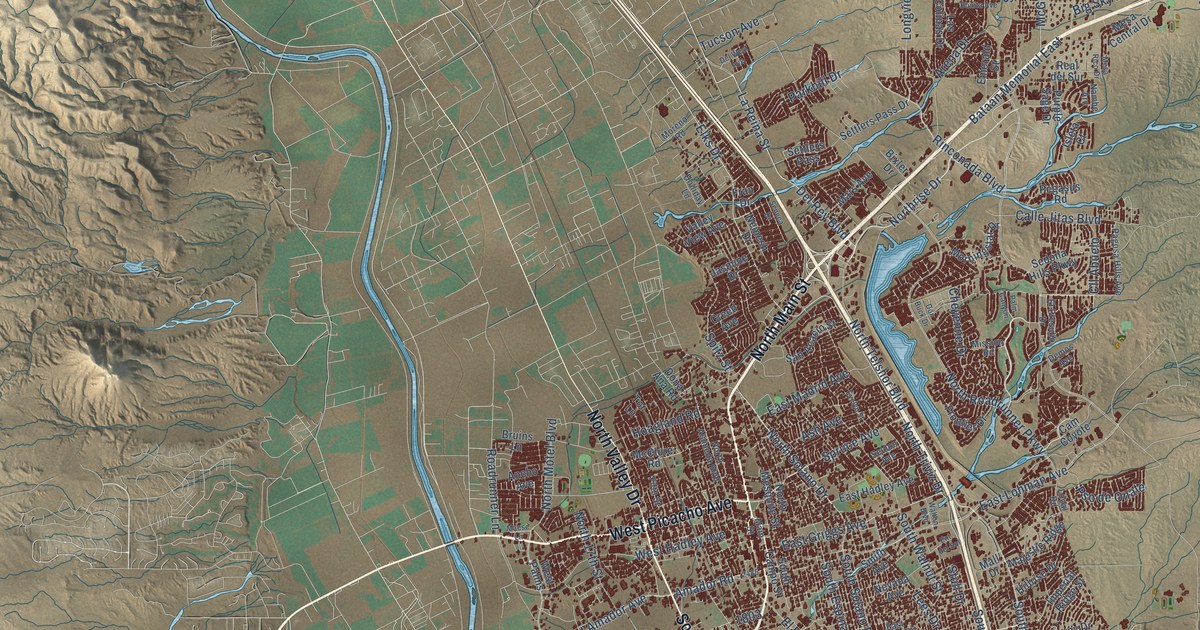
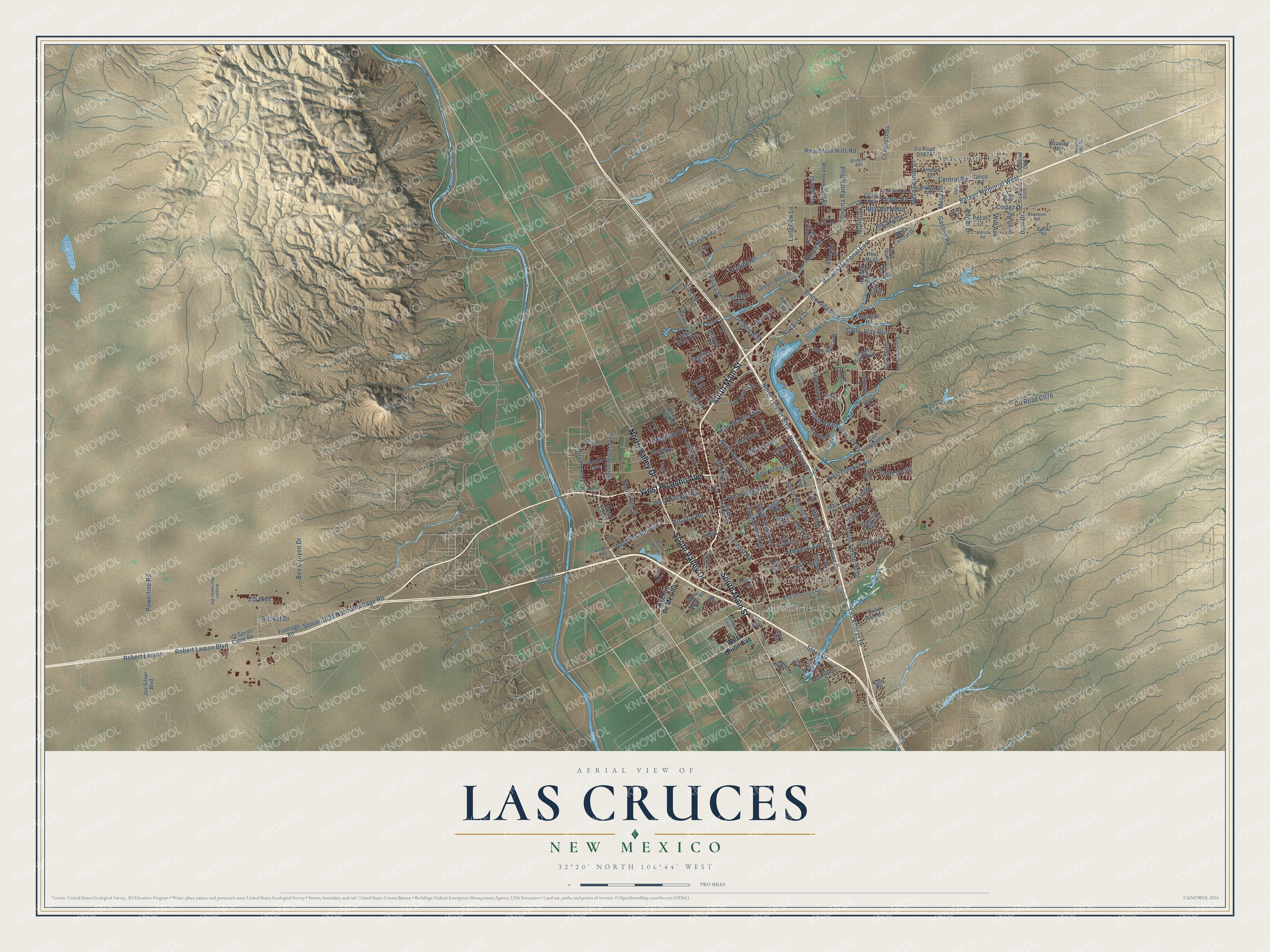
This beautifully detailed map of Las Cruces, New Mexico was created in 2026 using aerial imagery combined with modern topographical, census, street and landmark data. It’s a one-of-a-kind view of Las Cruces that combines accurate data with a vintage aesthetic. The map shows every building in its true location, many of the roads carry their names, and the shaded topographic relief shows the shape of the land.
Explore an aerial view of Las Cruces, New Mexico
On the map you’ll find Mesilla Park, Spaceport City, University Park, and Cll Abuelo, along with North Main Street, South Main Street, West Picacho Avenue, South Valley Drive, North Valley Drive, Northrise Drive, North Telshor Boulevard, North Triviz Drive, and more. If you look closely you can even find your house accurately drawn in its correct location. Zoom in on the preview to look for yours.
Did you know this piece of Las Cruces, New Mexico history?
From the City of Las Cruces: "Loretto Academy, founded in 1870 by the Sisters of Loretto, was the first school established in Southern New Mexico. Initially an all girl’s school, it occupied fifteen acres of land in the heart of Las Cruces."
Take a closer look at the Las Cruces map
Street and place names on the Las Cruces, New Mexico map
These names are printed on the map of Las Cruces, New Mexico.
Places: Mesilla Park, Spaceport City and University Park.
Streets and roads: North Main Street, South Main Street, West Picacho Avenue, South Valley Drive, North Valley Drive, Northrise Drive, Cll Abuelo, North Telshor Boulevard, North Triviz Drive, La Reina Street, Elks Drive, South Triviz Drive.
More street names, A to Z
Airport Perimeter Road, Alba Drive, Aldrich Road, Amador Avenue, Amador Road, Ancho Avenue, Arena Drive, Ash Avenue, Avenue de Mesilla, Bataan Memorial East, Bataan Memorial West, Big Sky Drive, Bixler Drive, Bowman Avenue, Box Canyon Drive, Bruins Lane, Burn Lake Road, Calico Drive, Calle Bella Avenue, Calle Jitas Boulevard, Cam Coyote, Cam Real, Carjac Road, Central Road, Cheyenne Drive, Cll de Luna, Colt Road, Cortez Drive, Creed Avenue, Davis Road, Del Rey Boulevard, Del West Avenue, Demos Avenue, Dona Ana Road, Don Buck Drive, Dunn Drive, East Foster Road, East Griggs Avenue, East Hadley Avenue, East Lohman Avenue, East Madrid Avenue, East University Avenue, El Paseo Road, El Presidio Drive, Emerald Street, Engler Road, Ent del Sol, Evelyn Street, Fairway Drive, Farney Lane, Fifth Street, Fran Drive, Frontage Road, Frontier Drive, Gasline Road, Genesis Lane, Gobi Lane, Good Times Drive, Hanger Lake Road, Hillrise Drive, Hoagland Road, Holliday Lane, Imperial Ridge Street, Isleta Court, Jasmine Drive, Jasper Avenue, Jett Avenue, Joe Silver Boulevard, Las Alturas Drive, Las Colinas Drive, Lees Drive, Lilla Road, Local Road, Longview Lane, Maese Lane, Main Street, Majestic Ridge, Mall Drive, Mars Avenue, McClure Road, McGuffey Street, Mesa Central Drive, Mesa Drive, Mesa Grande Drive, Mesa Rico Drive, Midway Avenue, Mimosa Lane, Mission Road, Missouri Avenue, Moreno Road, Morningstar Drive, Myrtle Avenue, Nambe Arc, Nemesh Drive, Nevada Avenue, North 17th Street, North Alameda Boulevard, North Mesquite Street, North Motel Boulevard, North Roadrunner Parkway, North Solano Drive, O'Hair Drive, Oak Street, Pagosa Hills Avenue, Palm Canyon, Parkhill Drive, Payne Street, Peachtree Hills Road, Pecan Lane, Pegasus Road, Porter Drive, Powerline Road, Pso de Onate, Purple Sage Drive, Quail Run Avenue, Real del Norte, Real del Sur, Red Hawk Golf Road, Rinconada Boulevard, Roadrunner Lane, Robert Larson, Robert Larson Boulevard, Rocket Drive, San Acacio Street, Scorpio Loop, Sedona Hills Parkway, Seldon Avenue, Seneca Drive, Senior 1031 North Frontage Road, Settlers Pass, Settlers Pass Drive, Shannon Road, Sierra Bonita Avenue, Sirocco Avenue, Smith Avenue, Sonoma Ranch Boulevard, South Campo Street, South Espina Street, South Solano Drive, South Telshor Boulevard, South Walnut Street, Spitz Street, Spruce Avenue, Stanley Road, Stern Drive, Stull Drive, Thomas Drive, Tor Lane, Triviz Drive, Tucson Avenue, US Sprint Cable Road, Valley View Avenue, Voyager Street, Wall Avenue, Walton Boulevard, West Amador Avenue, West Barker Road, West Boutz Road, West Hadley Avenue, West Palms, West Union Avenue, Wilt Avenue, Yale Drive, Zia Boulevard.
See the Las Cruces, New Mexico map on a wall
The Las Cruces map as an 18 x 24 inch print in a black frame.

This beautifully detailed map of Las Cruces makes an attractive addition to your office, library, or den, and it can even be used to teach children the geography and history of the area. It also makes a great gift for anyone with Las Cruces roots. When you’re done exploring, click here to get your copy of the Las Cruces map.