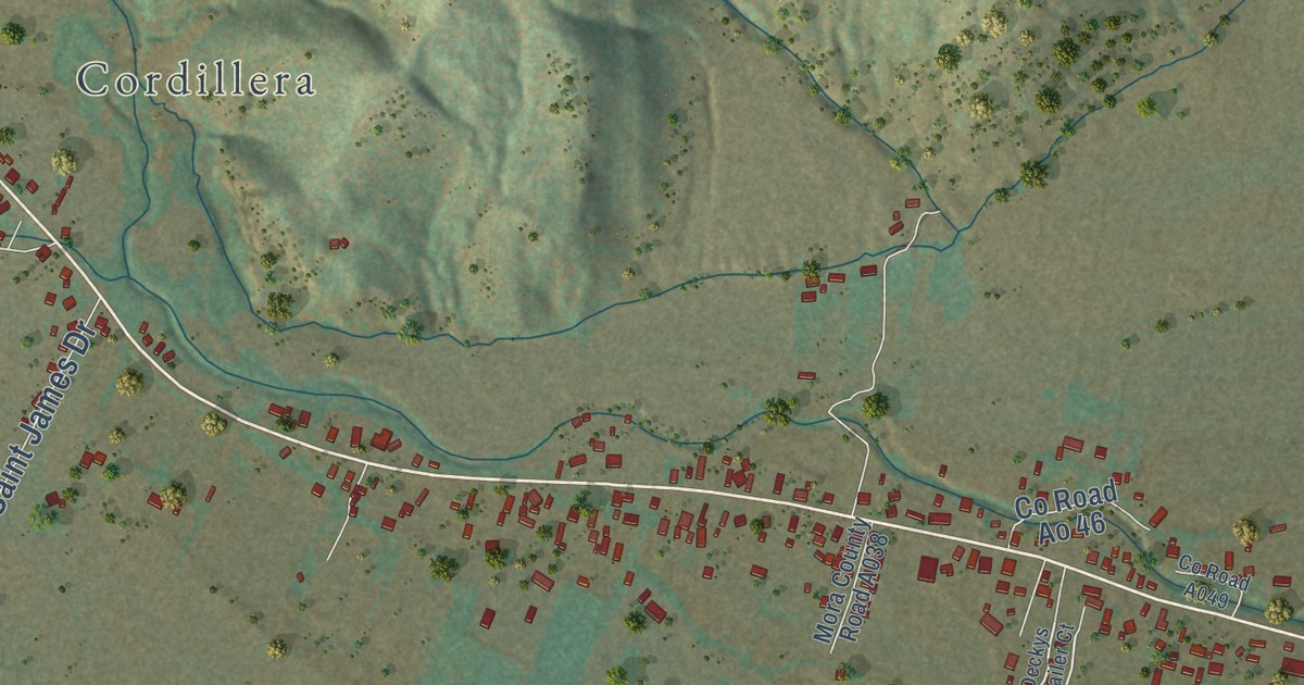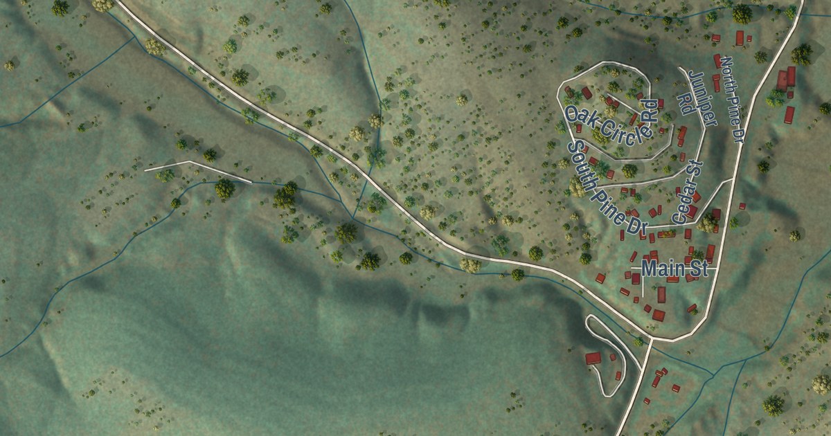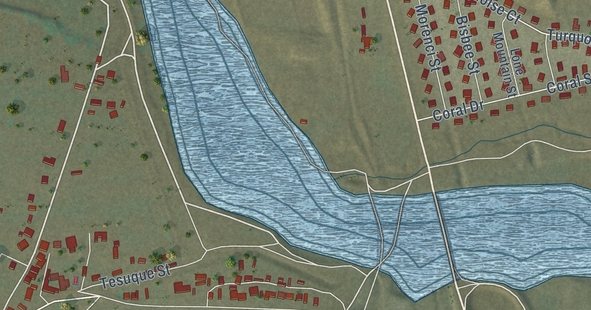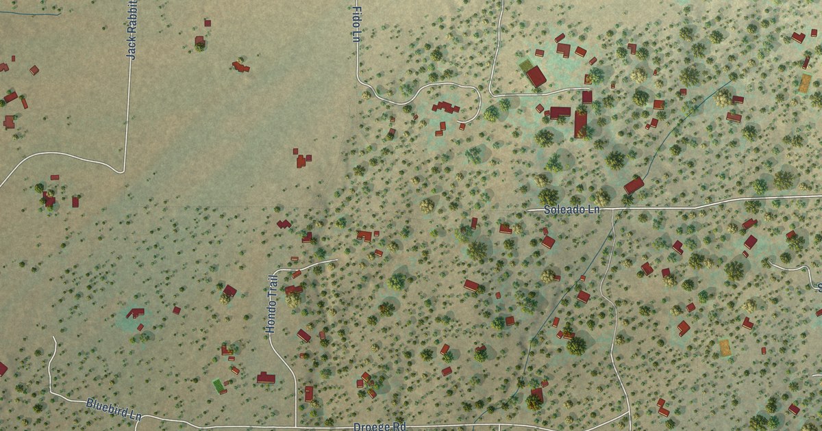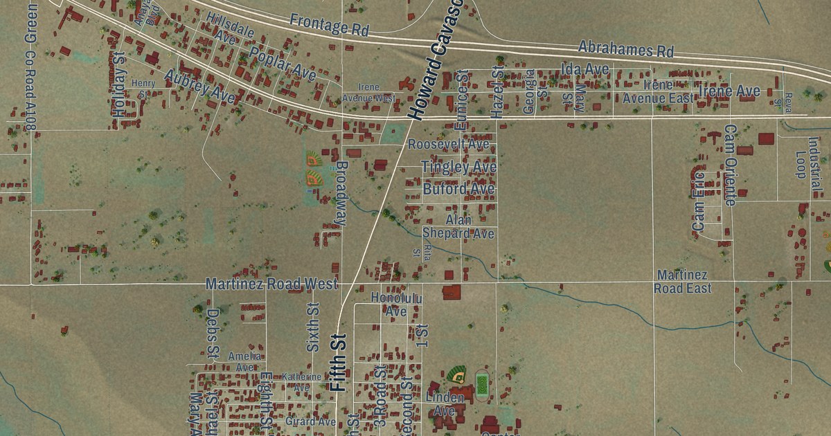
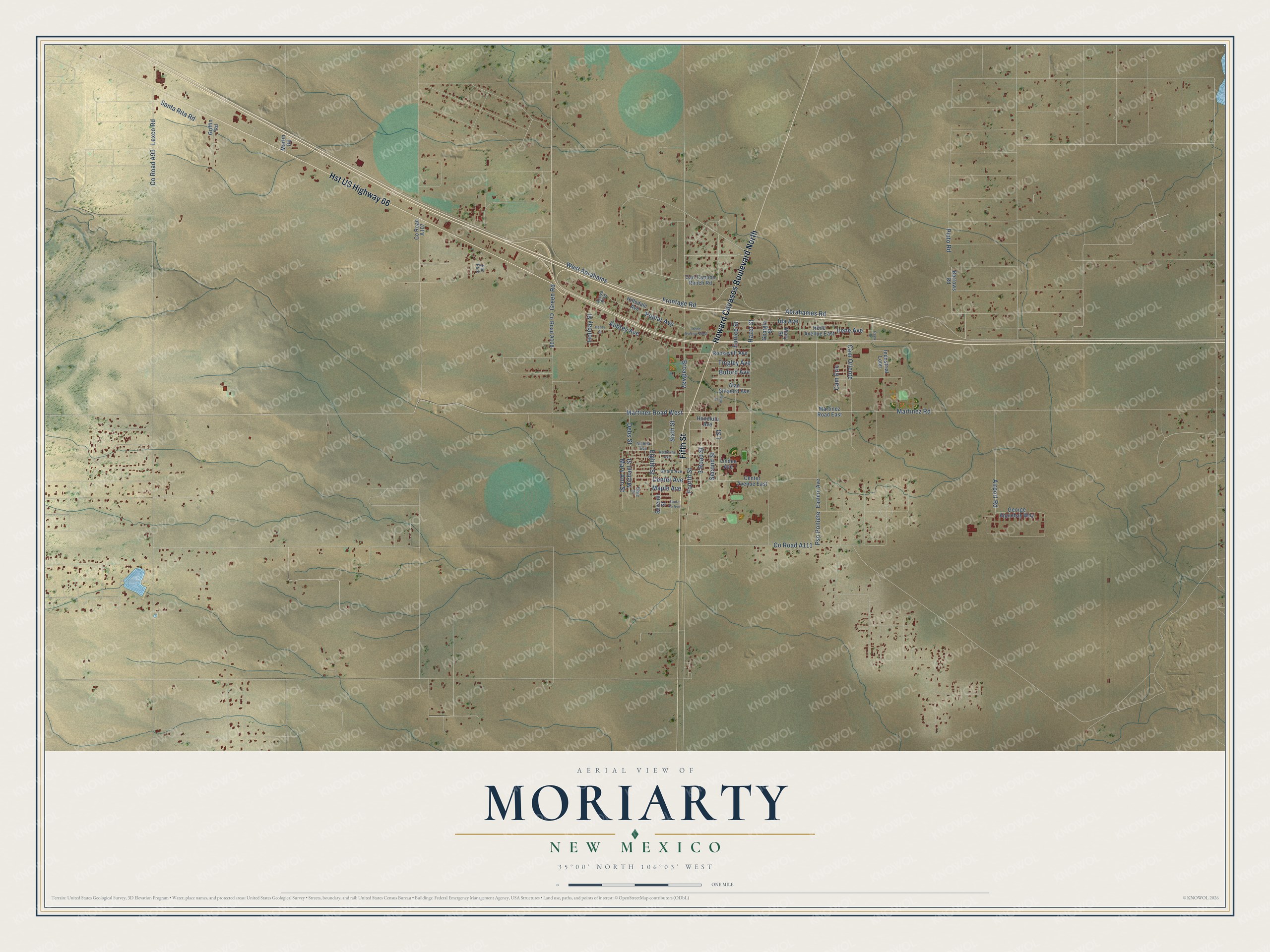
This beautifully detailed map of Moriarty, New Mexico was created in 2026 using aerial imagery combined with modern topographical, census, street and landmark data. It’s a one-of-a-kind view of Moriarty that combines accurate data with a vintage aesthetic. The map shows every building in its true location, many of the roads carry their names, and the shaded topographic relief shows the shape of the land.
Explore an aerial view of Moriarty, New Mexico
On the map you’ll find Schwebach Farm and Pso Poniete, along with Howard Cavasos Boulevard North, Hst US Highway 66, Fifth Street, Martinez Road, 3 Road Street, Martinez Road West, Fourth Street, Center Avenue, Pinto Road, Abrahames Road, and more. If you look closely you can even find your house accurately drawn in its correct location. Zoom in on the preview to look for yours.
Did you know this piece of Moriarty, New Mexico history?
From the City of Moriarty: "A post office was established in Moriarty in 1903, with Michael Moriarty as the first postmaster. Before the railroad was built, the mail was brought to Moriarty by a horseback rider from Chilili."
Take a closer look at the Moriarty map
Street and place names on the Moriarty, New Mexico map
These names are printed on the map of Moriarty, New Mexico.
Places: Elm Park.
Streets and roads: Howard Cavasos Boulevard North, Hst US Highway 66, Fifth Street, Martinez Road, Pso Poniete, 3 Road Street, Fourth Street, Martinez Road West, Abrahames Road, Frontage Road, Center Avenue, Lexco Road.
More street names, A to Z
1 Street, Airport Road, Alan Shepard Avenue, Amelia Avenue, Anaya Boulevard, Aubrey Avenue, Barrows Road, Broadway, Buford Avenue, Cam Eric, Cam Oriente, Carl Cannon Ranch Road, Center Avenue East, County Road A93, Debs Street, Eastern Avenue, Eighth Street, Elsie Street, Eunice Street, George Applebay Way, Georgia Street, Girard Avenue, Green Road, Griffin Road, Hazel Street, Henry Street, Hillsdale Avenue, Holiday Street, Honolulu Avenue, Ida Avenue, Industrial Loop, Irene Avenue, Irene Avenue East, Irene Avenue West, Katherine Avenue, Linden Avenue, Maple Avenue, Martinez Road East, Martin Road, Mary Ann Street, Mary Street, Michael Street, Pinto Road, Poplar Avenue, Reva Street, Rita Street, Roosevelt Avenue, Santa Fe Avenue, Santa Rita Road, Second Street, Seventh Street, Sixth Street, Tingley Avenue, West Abrahams.
See the Moriarty, New Mexico map on a wall
The Moriarty map as an 18 x 24 inch print in a black frame.

This beautifully detailed map of Moriarty makes an attractive addition to your office, library, or den, and it can even be used to teach children the geography and history of the area. It also makes a great gift for anyone who grew up in Moriarty or moved away. When you’re done exploring, click here to get your copy of the Moriarty map.