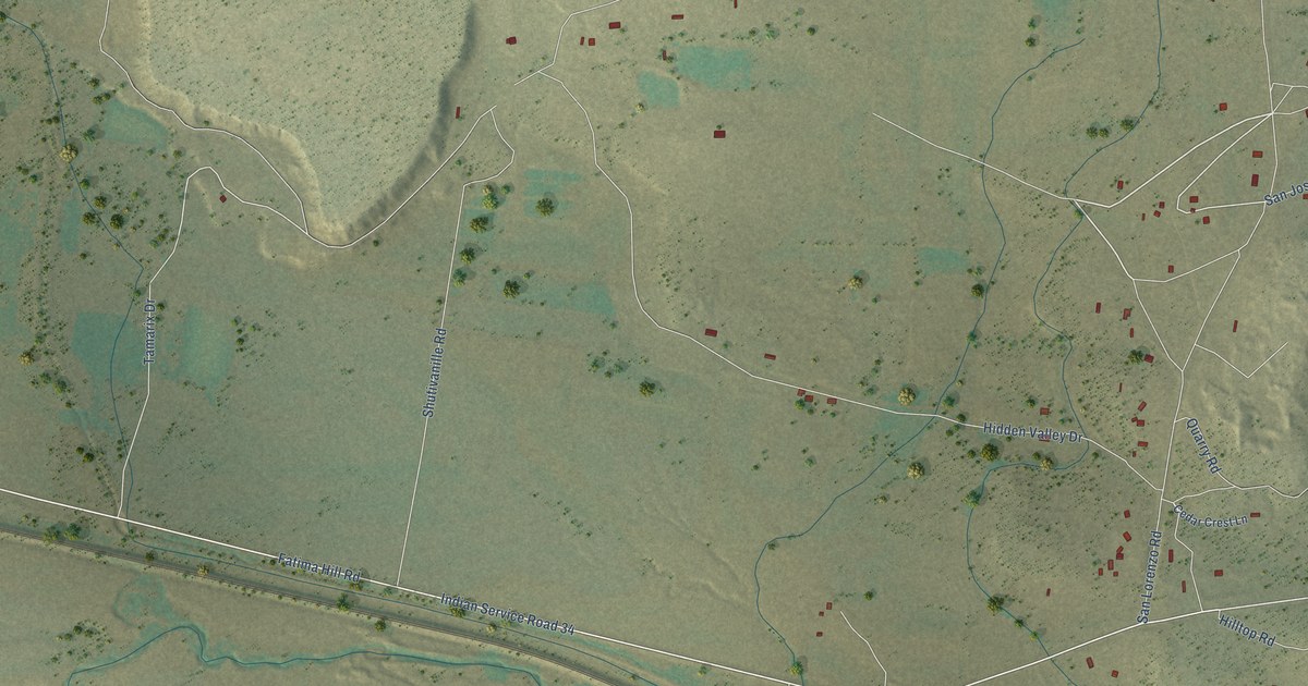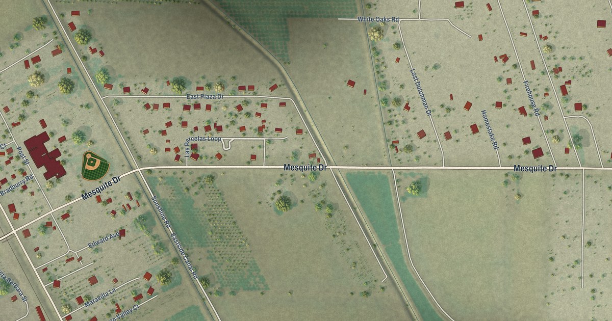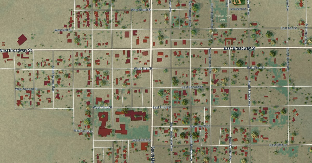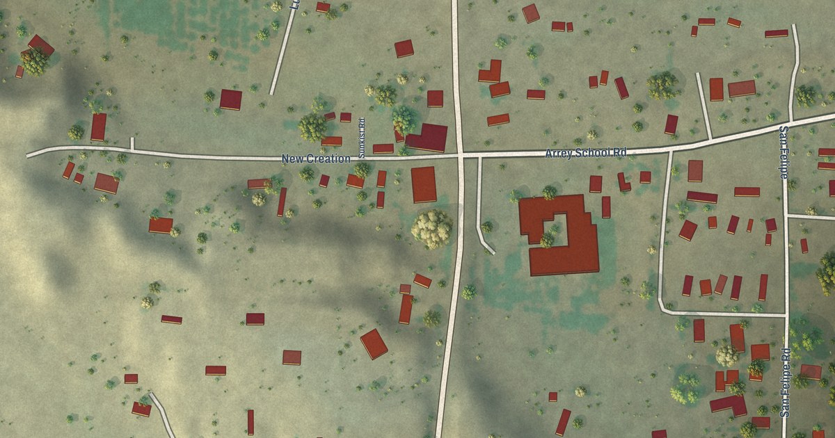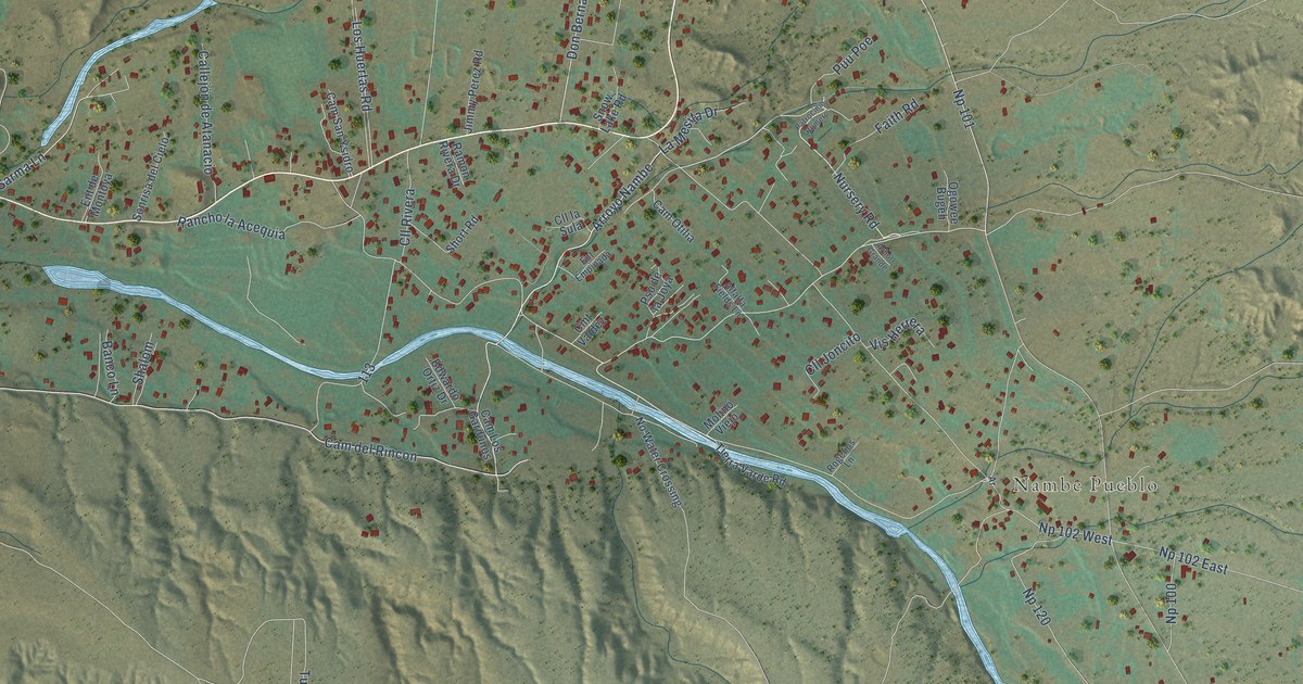
This beautifully detailed map of Nambe, New Mexico was created in 2026 using aerial imagery combined with modern topographical, census, street and landmark data. It's a modern aerial view of Nambe in Santa Fe County, New Mexico, that combines modern data with a vintage aesthetic. The roads feature printed names, and if you look closely you can find your exact house accurately shown in its correct location.
Explore an aerial view of Nambe, New Mexico
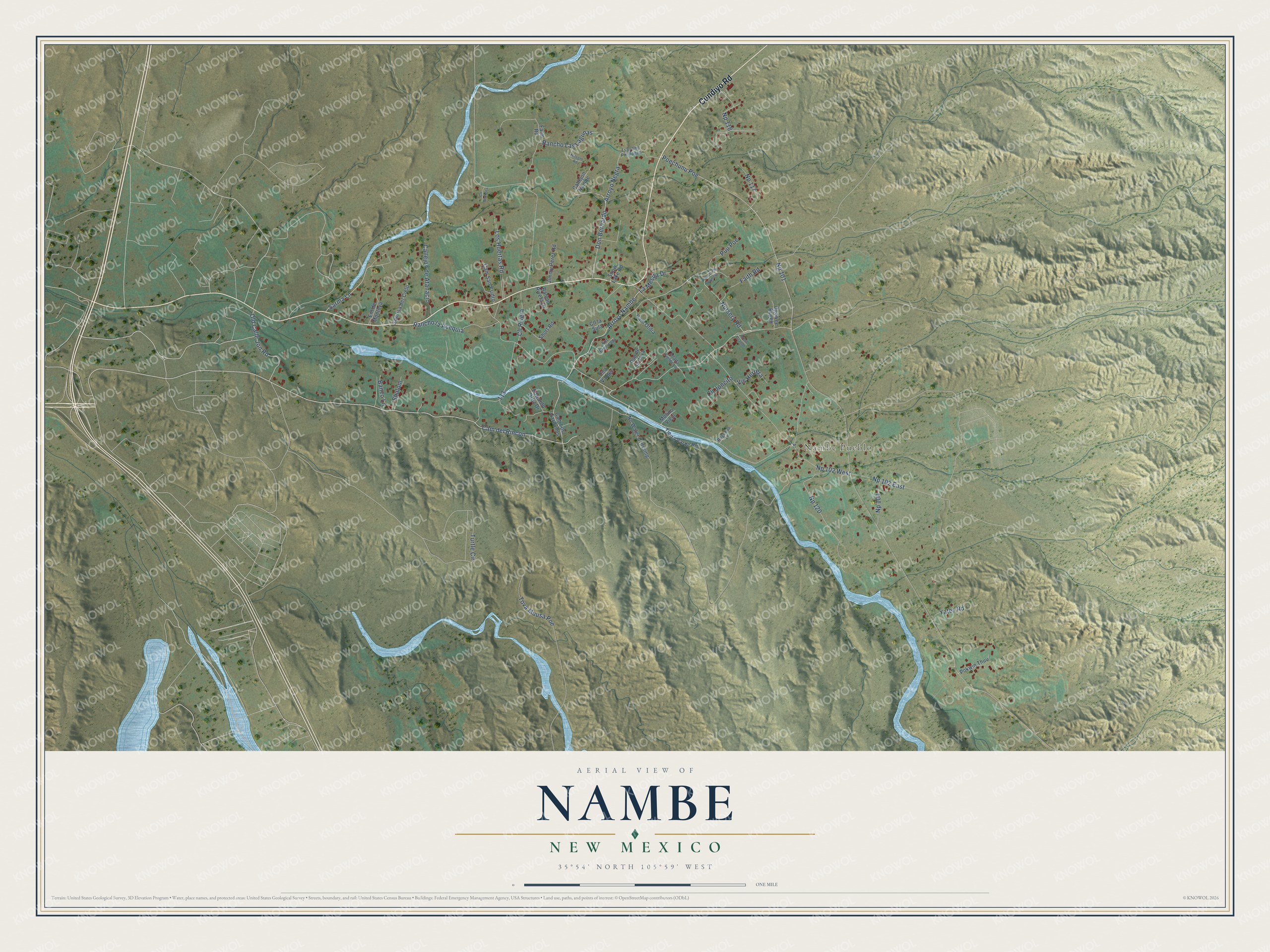
On this map you'll find Nambe Pueblo, Cundiyo Road, Nursery Road, Arroyo Nambe, Cam del Rincon, Np 118, Np 117, Np 101, Poechunu Poe, Np 120, Don Bernardo, Rancho Las Lagunas, and more. Each red shape is a building, so zoom in on the preview and look for yours.
Here is a piece of Nambe history. Nambé Pueblo is Nanbé Owingeh in Tewa, a name that roughly means the village of the rounded earth. It is one of six Tewa-speaking pueblos of the northern Rio Grande, and it has stood on its present site since the 14th century. Before the Spanish came, it was a main cultural and religious center for the northern pueblos. The Pueblo later won a claims ruling over 45,000 acres near the Santa Fe Ski Basin. In 1976 it turned down a cash payment, holding out for the land itself. That's from the Pueblo of Nambé.
Nambe is a community in Santa Fe County. The Census Bureau counted 1,907 people here in 2020.
Take a closer look at the Nambe map
Names on this map
These names are printed on this map.
Places: Nambe Pueblo.
Streets and roads: Cundiyo Road, Nursery Road, Arroyo Nambe, Cam del Rincon, Np 118, Np 117, Np 101, Poechunu Poe, Np 120, Don Bernardo, Rancho Las Lagunas, Rancho la Acequia.
More street names, A to Z
Alfalfa Fields Lane, Arbol Grande, Arroyo Negra, Banco Lane, Callejón de Atanacio, Callejón Nambe, Cam Los Gardunos, Cam Otilia, Cam San Ysidro, Cll Andreita, Cll Joncito, Cll la Sula, Cll Rivera, Cmt Valdez, Edwardo Ortiz Drive, Ent de Montoya, Ent Empinada, Faith Road, Farm Road, Jimmy Perez Road, La Mesita Drive, Los Huertas Road, Milagro Road, Molino Viejo, No Water Crossing, Np 100, Np 102 East, Np 102 West, Ogowee Bugeh, Old Calle Jon Road, Patrocinio Romero, Pokwin Thuu, Pso de la Joya, Puu Poe, Ramon Rivera Drive, Rogelios Lane, Sarma Lane, Shalom, Short Road, Snow Lake Road, Sonrisa del Cielo, Tierra Varde Road, Tova Muusa Poe, Tsay Shu Pin Bugeh, Turtle Circle, Vis Herrera, Yates Road.
See it on a wall
The Nambe map as a framed print. Swipe for more.


Created by KNOWOL in 2026. The buildings are small red shapes, the roads carry their printed names, and shaded relief shows the shape of the land. The title panel reads "AERIAL VIEW OF NAMBE, NEW MEXICO" with 35°54' NORTH 105°59' WEST.
It suits a den, a classroom or a front hall, and it makes a gift for anyone with Nambe roots. Open the preview and find the block you know. See sizes and frames for the Nambe map.