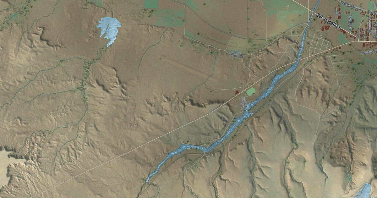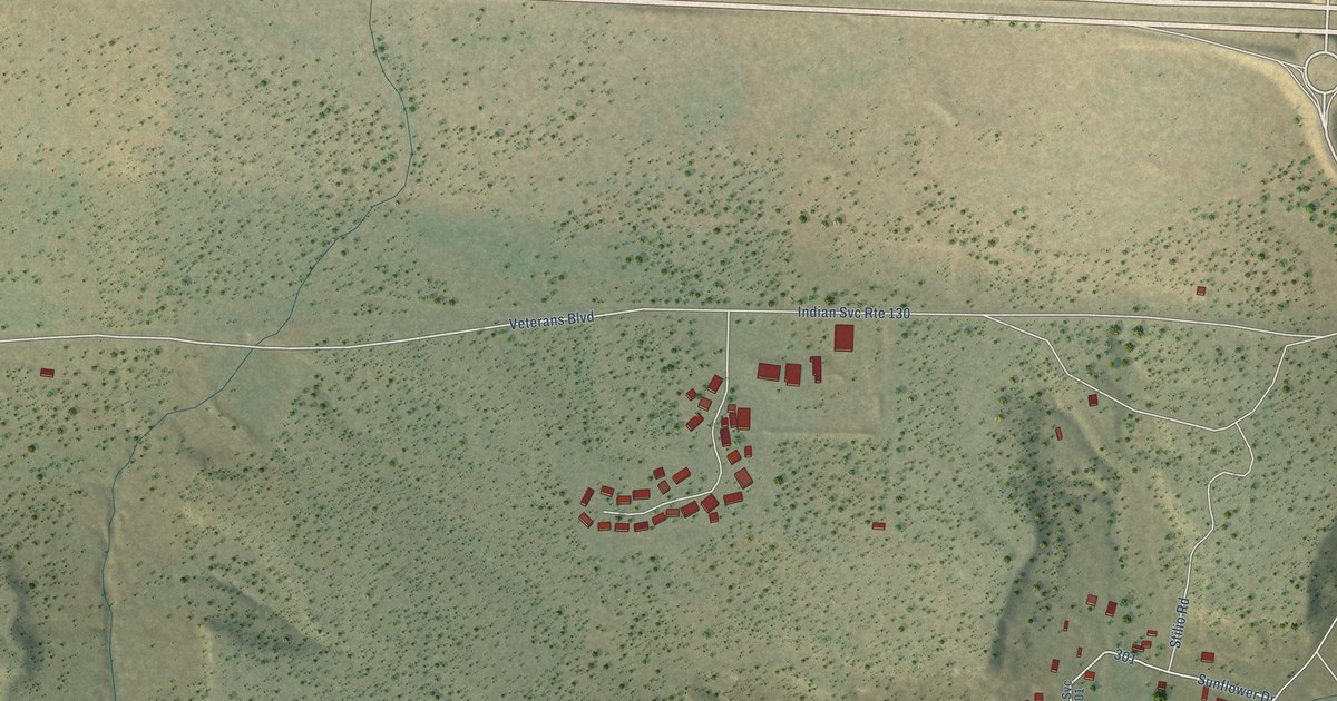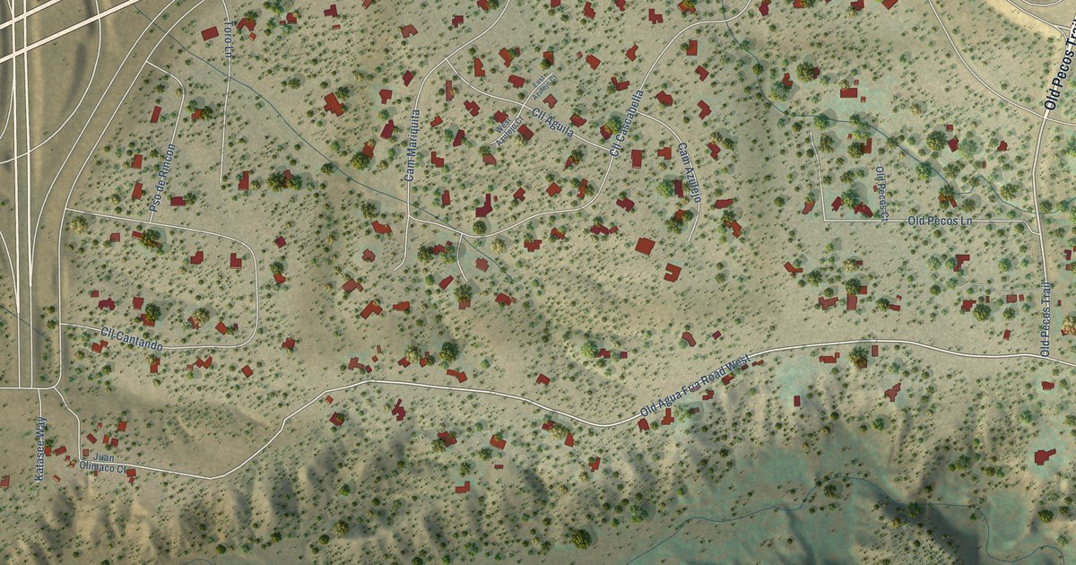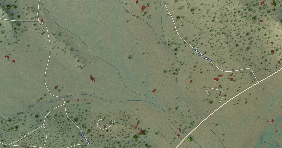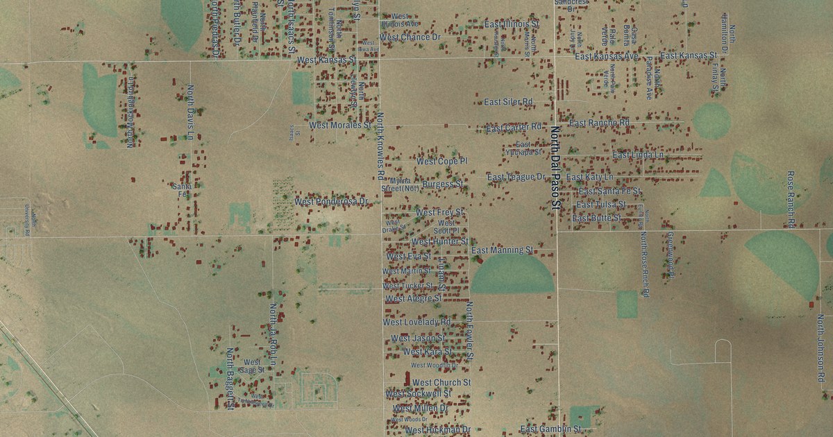
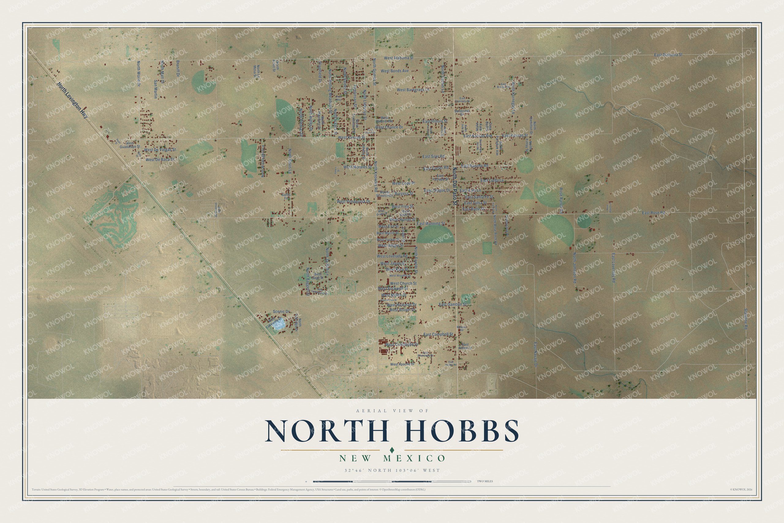
This beautifully detailed map of North Hobbs, New Mexico was created in 2026 using aerial imagery combined with modern topographical, census, street and landmark data. It's a modern aerial view of North Hobbs in Lea County, New Mexico, that combines modern data with a vintage aesthetic. The roads feature printed names, and if you look closely you can find your exact house accurately shown in its correct location.
Explore an aerial view of North Hobbs, New Mexico
On this map you'll find North Dal Paso Street, North Lovington Highway, West Kansas Street, North World Drive, East Kansas Avenue, North Knowles Road, North Grimes Street, West Hunter Street, East Lovelady Road, Stateline Road, Scenic Drive, Tomlinson Street, and more. Each red shape is a building, so zoom in on the preview and look for yours.
North Hobbs is a community in Lea County. The Census Bureau counted 6,529 people here in 2020. North Hobbs sits about 11 miles north of Nadine, 14 miles northeast of Monument and 18 miles southeast of Lovington. The map prints the town name in its title panel, with the coordinates below it.
Take a closer look at the North Hobbs map
Names on this map
These names are printed on this map.
Streets and roads: North Dal Paso Street, North Lovington Highway, West Kansas Street, North World Drive, East Kansas Avenue, North Knowles Road, North Grimes Street, West Hunter Street, East Lovelady Road, Stateline Road, Scenic Drive, Tomlinson Street.
More street names, A to Z
Billy Drive, Braniff Drive, Burgess Street, Casa Bonita, East Alabama Street, East Arrow Lane, East Butte Street, East Campbell Street, East Cannedy Street, East Carter Road, East Cherokee Drive, East Decker Road, East Gamblin Street, East Illinois Street, East Kansas Street, East Katy Lane, East Linda Lane, East Manning Street, East Navajo Drive, East Rancho Road, East Rose Road, East Rushin Road, East Santa Fe Street, East Siler Road, East Teague Drive, East Tulsa Street, East Yuciapa Street, Greenwood Place, Isaacs Street, Khleem Road, Linam Street, North Aztec Street, North Baggett Street, North Butler Drive, North Cactus Lane, North Davis Lane, North Eunice Road, North Finlay Street, North Fowler Street, North Hamilton Drive, North Houston Street, North Isaacs Street, North Ja-Rob Lane, North Johnson Road, North Judy Lane, North Kornegay Lane, North La Mesa Street, North Llewelyn Street, North Llewlyn Street, North Matt Drive, North Mockingbird Lane, North Morris Street, North Oakridge Drive, North Palo Verde, North Paradise Avenue, North Piedras Drive, North Plainfield Drive, North Rolling Meadows Street, North Rose Rnch Road, North Tomlinson Street, North University Road, North Valdez Street, Palo Verde, Pearl Street, Plainfield Drive, Roan Way, Rose Ranch Lane, Rose Ranch Road, Sandcrest Drive, San Martin, Santa Fe, West Alabama Street, West Alegre Street, West Apache Drive, West Baregrass Lane, West Bonds Avenue, West Broom Drive, West Chance Drive, West Church Street, West Comanche Drive, West Cope Place, West De Baca Street, West De Vargas Street, West Drake Street, West Eva Street, West Frey Street, West Guadalupe Street, West Hickman Drive, West Illinois Avenue, West Iowa Avenue, West Jason Street, West Kara Street, West Lakeview Drive, West Lovelady Road, West Martin Street, West Millen Drive, West Morales Street, West Ponderosa Drive, West Sage Street, West Scott Place, West Sockwell Street, West Tucker Street, West Tumbleweed Drive, West Woodfin Drive, West Woods Drive.
See it on a wall
The North Hobbs map as a framed print. Swipe for more.


Created by KNOWOL in 2026. The buildings are small red shapes, the roads carry their printed names, and shaded relief shows the shape of the land. The title panel reads "AERIAL VIEW OF NORTH HOBBS, NEW MEXICO" with 32°46' NORTH 103°06' WEST.
It suits a den, a classroom or a front hall, and it makes a gift for anyone with North Hobbs roots. Open the preview and find the block you know. See sizes and frames for the North Hobbs map.