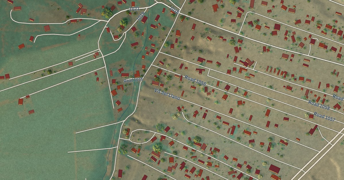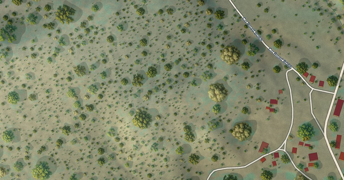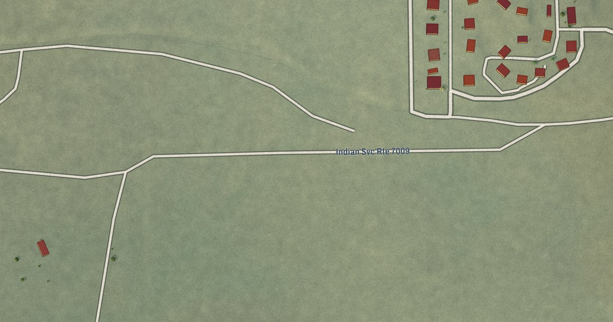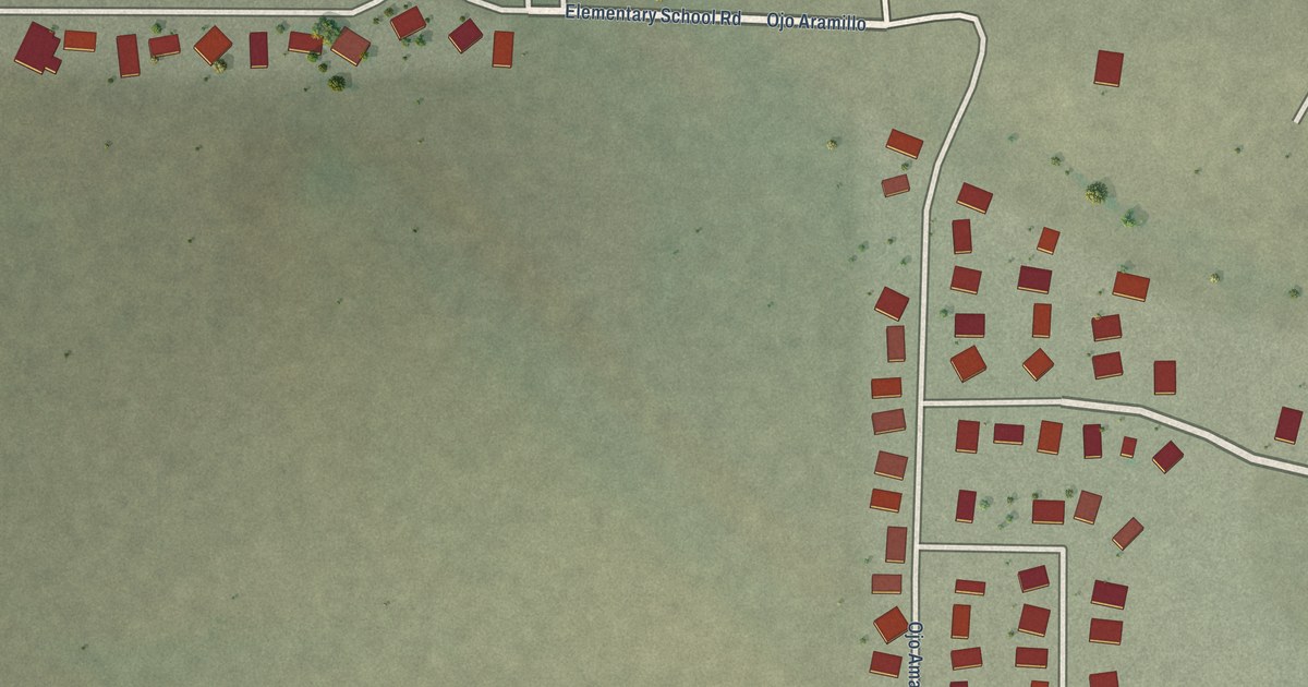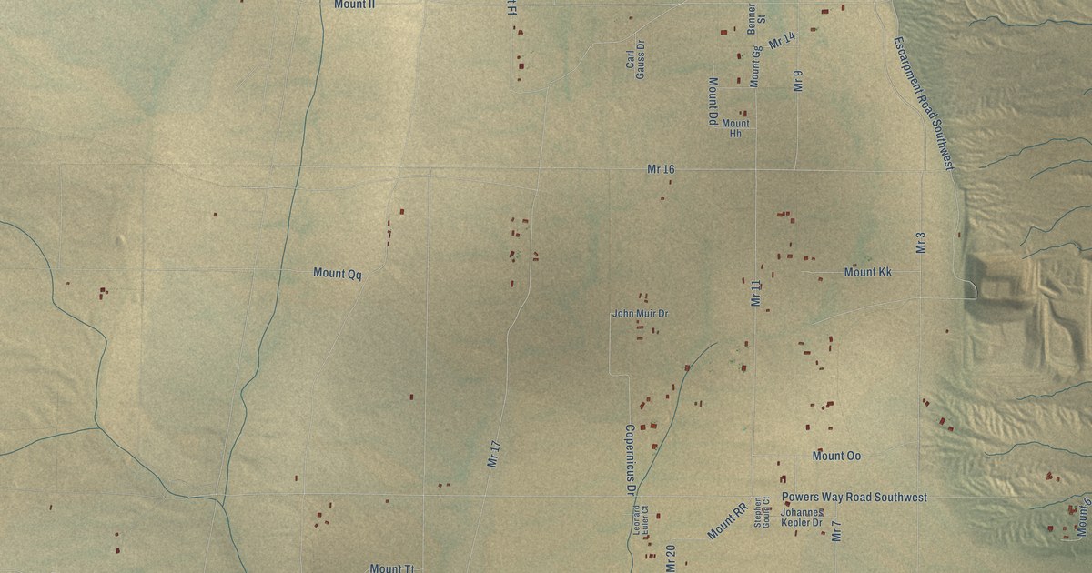
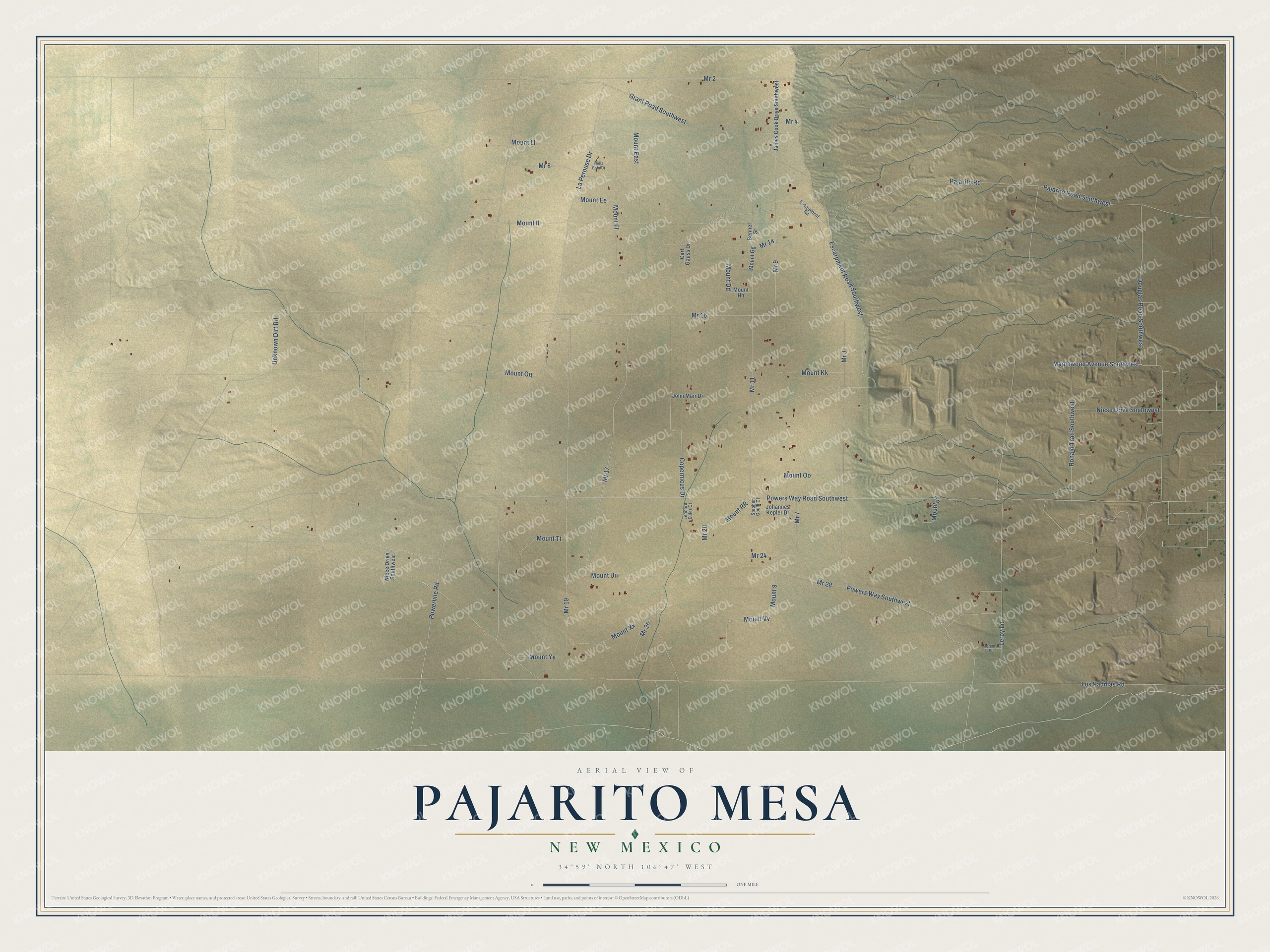
This beautifully detailed map of Pajarito Mesa, New Mexico was created in 2026 using aerial imagery combined with modern topographical, census, street and landmark data. It's a modern aerial view of Pajarito Mesa in Bernalillo County, New Mexico, that combines modern data with a vintage aesthetic. The roads feature printed names, and if you look closely you can find your exact house accurately shown in its correct location.
Explore an aerial view of Pajarito Mesa, New Mexico
On this map you'll find Mr 26, Mr 20, Powers Way Southwest, Mount Uu, Mount RR, Mr 8, Pajarito Road, Escarpment Road Southwest, Los Padillas Road, Powers Way Road Southwest, Powerline Road, Mr 16, and more. Each red shape is a building, so zoom in on the preview and look for yours.
Pajarito Mesa has a story worth telling. Pajarito Mesa had no drinking water, and residents drove as far as 20 miles to haul it home. In 2000, 150 of them joined together in the Mutual Domestic Water Users Association. Resident Sandra Montes, a housewife who had never led anything, became an organizer and convinced Governor Bill Richardson that a community well was worth funding. The SouthWest Organizing Project began working with the community in 1997 and trained residents in public speaking and board development. That's from the Shelterforce magazine.
Pajarito Mesa is a community in Bernalillo County. The Census Bureau counted 260 people here in 2020.
Take a closer look at the Pajarito Mesa map
Names on this map
These names are printed on this map.
Streets and roads: Mr 26, Mr 20, Powers Way Southwest, Mount Uu, Mount RR, Mr 8, Pajarito Road, Escarpment Road Southwest, Los Padillas Road, Powers Way Road Southwest, Powerline Road, Mr 16.
More street names, A to Z
Benner Street, Carl Gauss Drive, Copernicus Drive, Douglas Road Southwest, Escarpment Road, Grant Road Southwest, James Cook Drive Southwest, Jeremy Place, Johannes Kepler Drive, John Muir Drive, La Perouse Drive, Leonard Euler Court, Leroy Lane, Maplewood Avenue Southwest, Mount 6, Mount 9, Mount Dd, Mount East, Mount Ee, Mount Ff, Mount Gg, Mount Hh, Mount II, Mount Kk, Mount Ll, Mount Oo, Mount Qq, Mount Tt, Mount Vv, Mount Xx, Mount Yy, Mr 2, Mr 3, Mr 4, Mr 7, Mr 9, Mr 11, Mr 14, Mr 17, Mr 19, Mr 24, Mr 28, Niece Drive Southwest, Niels Bohr Court, Niese Drive Southwest, Pajarito Road Southwest, Ronald Trail Southwest, Stephen Gould Court, Unknown Dirt Road.
See it on a wall
The Pajarito Mesa map as a framed print. Swipe for more.


Created by KNOWOL in 2026. The buildings are small red shapes, the roads carry their printed names, and shaded relief shows the shape of the land. The title panel reads "AERIAL VIEW OF PAJARITO MESA, NEW MEXICO" with 34°59' NORTH 106°47' WEST.
It looks right in a kitchen, an office or a den, and it's a gift for anyone who grew up in Pajarito Mesa or moved away. Open the preview and find your street. See sizes and frames for the Pajarito Mesa map.