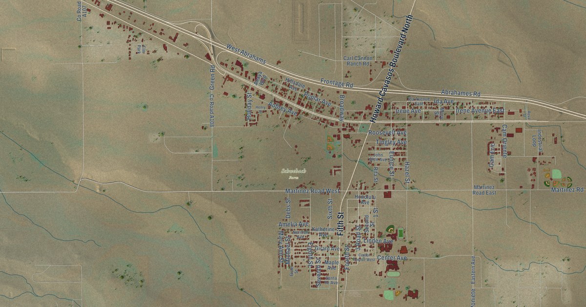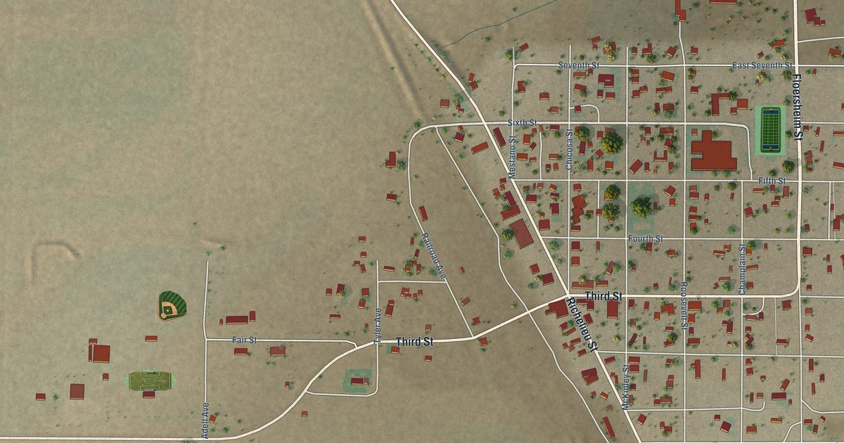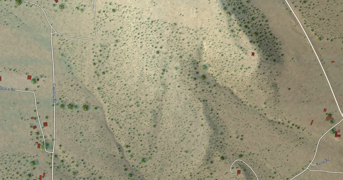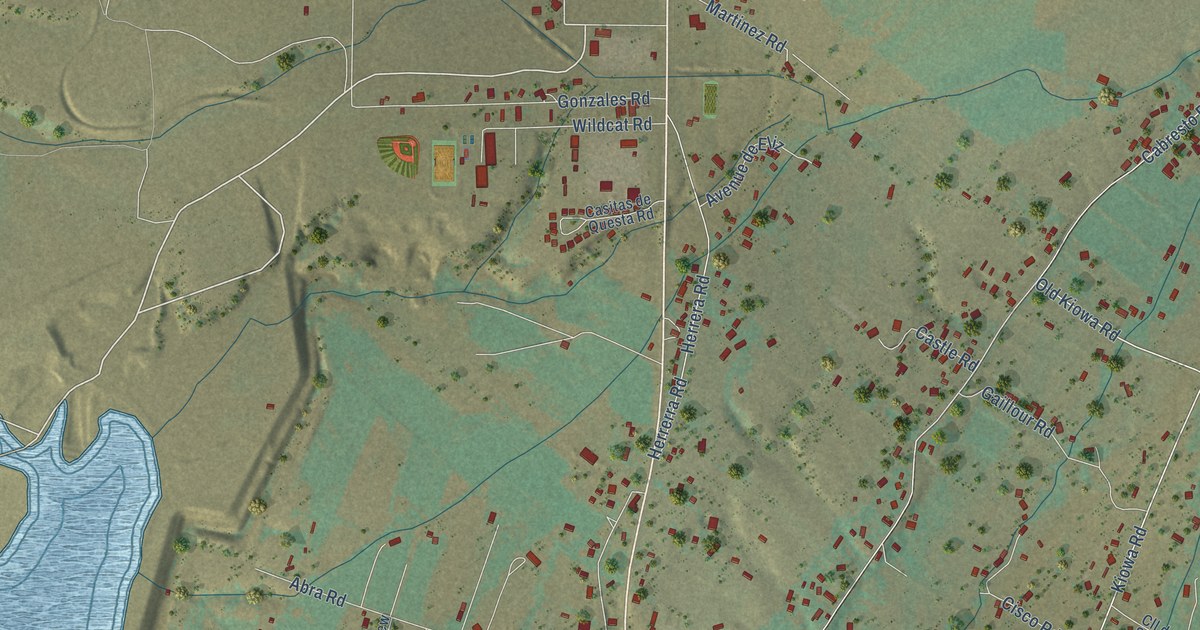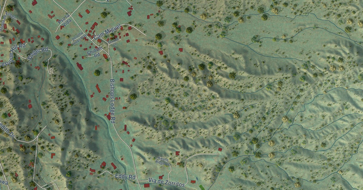
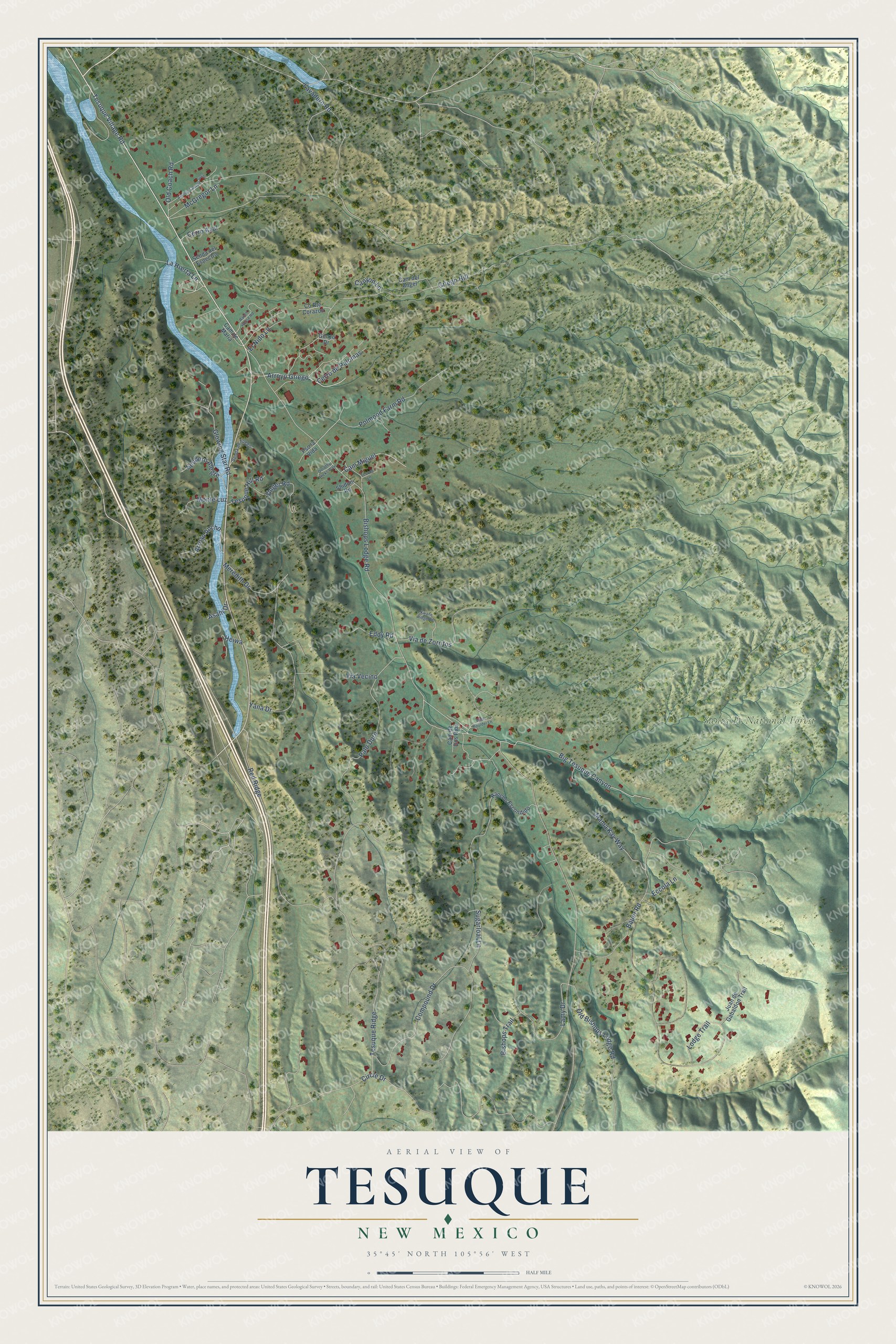
This beautifully detailed map of Tesuque, New Mexico was created in 2026 using aerial imagery combined with modern topographical, census, street and landmark data. It's a modern aerial view of Tesuque in Santa Fe County, New Mexico, that combines modern data with a vintage aesthetic. The roads feature printed names, and if you look closely you can find your exact house accurately shown in its correct location.
Explore an aerial view of Tesuque, New Mexico
On this map you'll find Santa Fe National Forest, Tesuque Village Road, Bauer Road, La Huerta Lane, Arroyo Griego, Bishops Lodge Road, Polmood Farm Road, Old Bishops Lodge Road, Tesuque Ridge, Griego Hill, Compound Drive, Red Ridge, and more. Each red shape is a building, so zoom in on the preview and look for yours.
Tesuque is a community in Santa Fe County. The Census Bureau counted 1,094 people here in 2020. Tesuque sits about 3 miles south of Encantado, 3 miles southeast of Peak Place and 3 miles northwest of Hyde Park. The map prints the town name in its title panel, with the coordinates below it.
Take a closer look at the Tesuque map
Names on this map
These names are printed on this map.
Places: Santa Fe National Forest.
Streets and roads: Tesuque Village Road, Bauer Road, La Huerta Lane, Arroyo Griego, Bishops Lodge Road, Polmood Farm Road, Old Bishops Lodge Road, Tesuque Ridge, Griego Hill, Compound Drive, Red Ridge, Lavadero Road.
More street names, A to Z
Arroyo Ancho, Asahi Drive, Avenue Campo Verde, Big Tesuque Canyon, Bishops Trail, Cam de Dos Rios, Cam del Angel, Cam de Maria, Cam Miguel, Canyon Lane, Cerro Azul, Cerro de Palomas, Circle Drive, County Route Corazon, Dorothy Hicks Way, Eccola Lane, Eddy Road, El Nido Lane, Glowing Star Road, Gonzo Drive, Heiwa, Juan de Gabaldon Trail, Kwahe Ridge Road, Lamy Drive, Lodge Trail, Mama Kay Way, McGregor Lane, Meredith Drive, Monte Luz, Old Coach Road, Palo Duro, Pso la Vida, Ranch House Road, Rancho Escondido, Senda de Fuego, Senda del Espectro, Sendero Alegre, Shidoni Road, Singer Road, Sugarloaf Lane, Tesque Lane, Tesuque Hill Road, Via de Zorritos, Via Vecino, White Boulder Lane, Yana Drive.
See it on a wall
The Tesuque map as a framed print. Swipe for more.


Created by KNOWOL in 2026. The buildings are small red shapes, the roads carry their printed names, and shaded relief shows the shape of the land. The title panel reads "AERIAL VIEW OF TESUQUE, NEW MEXICO" with 35°45' NORTH 105°56' WEST.
It suits a den, a classroom or a front hall, and it makes a gift for anyone with Tesuque roots. Open the preview and find the block you know. See sizes and frames for the Tesuque map.