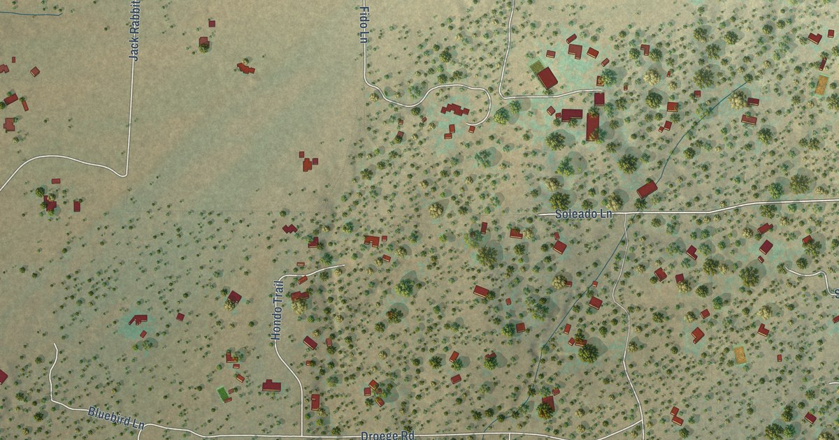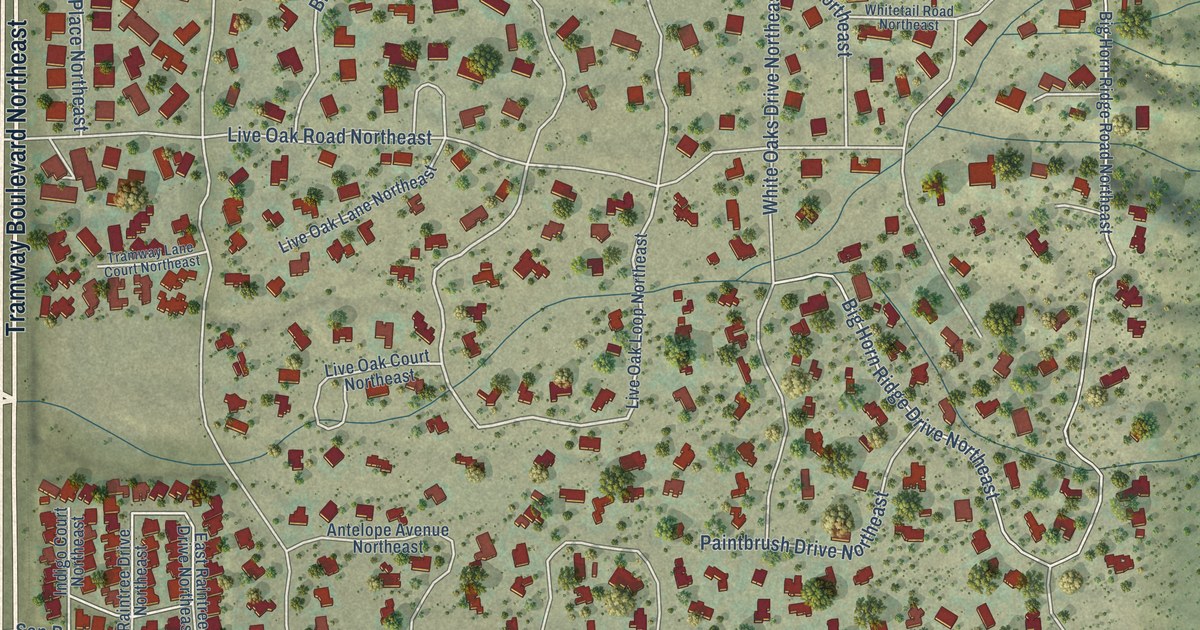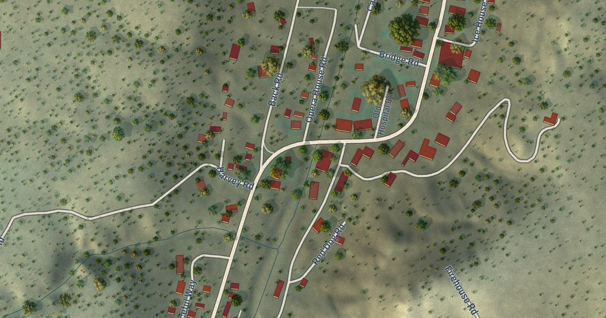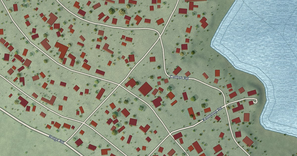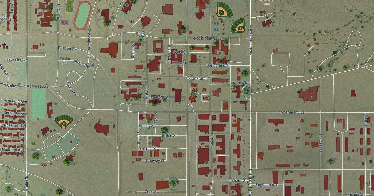
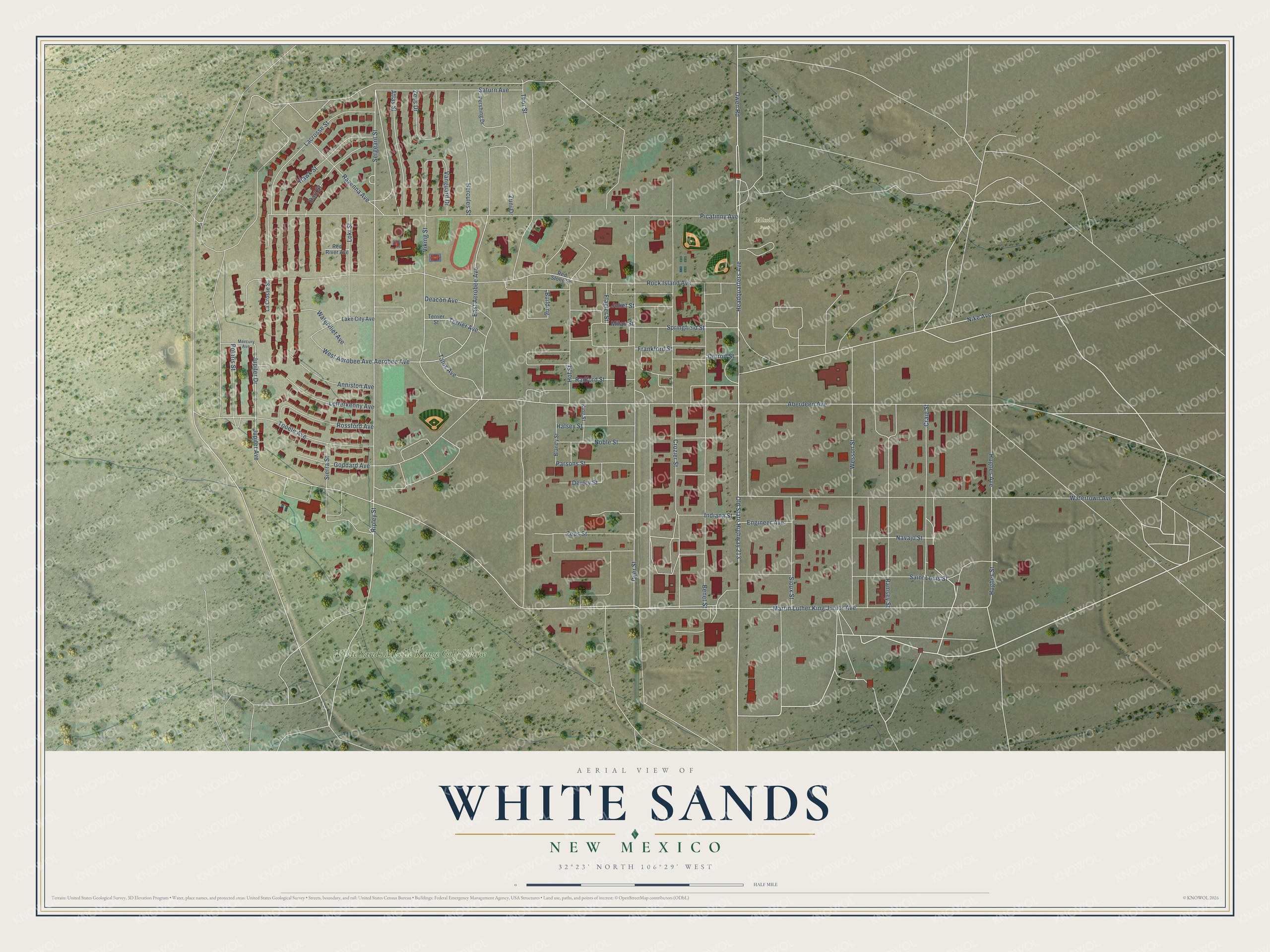
This beautifully detailed map of White Sands, New Mexico was created in 2026 using aerial imagery combined with modern topographical, census, street and landmark data. It's a modern aerial view of White Sands in Doña Ana County, New Mexico, that combines modern data with a vintage aesthetic. The roads feature printed names, and if you look closely you can find your exact house accurately shown in its correct location.
Explore an aerial view of White Sands, New Mexico
On this map you'll find Missile Park, White Sands Missile Range Golf Course, Headquarters Avenue, Ripley Street, Navajo Street, Martin Luther King Junior Avenue, Hughes Street, Aberdeen Avenue, Hughes Avenue, Nike Avenue, Owen Road, Sergeant Street, and more. Each red shape is a building, so zoom in on the preview and look for yours.
White Sands is a community in Doña Ana County. The Census Bureau counted 926 people here in 2020. White Sands sits about 8 miles southeast of Organ, 10 miles east of Butterfield Park and 17 miles northeast of University Park. The map prints the town name in its title panel, with the coordinates below it.
Take a closer look at the White Sands map
Names on this map
These names are printed on this map.
Places: Missile Park and White Sands Missile Range Golf Course.
Streets and roads: Headquarters Avenue, Ripley Street, Navajo Street, Martin Luther King Junior Avenue, Hughes Street, Aberdeen Avenue, Hughes Avenue, Nike Avenue, Owen Road, Sergeant Street, Saturn Avenue, Dyer Street.
More street names, A to Z
Aerobee Avenue, Anniston Avenue, Atlas Street, Benet Street, Blandy Street, Building, Craig Street, Crozier Street, Dart Street, Deacon Avenue, Detroit Street, Dewey Street, East Aerobee Avenue, Engineer Avenue, Flagler Street, Frankford Street, Goddard Avenue, Halsey Street, Hawk Street, Hercules Street, Hof Street, Indiana Street, Joliet Street, Jupiter Avenue, Jupiter Drive, King Street, Lacrosse Street, La Crosse Street, Lake City Avenue, Letterkenny Avenue, Loki Street, Mercury Avenue, Milan Street, Noble Street, Old State Highway 213, Parsons Street, Pershing Drive, Picatinny Avenue, Polaris Street, Radford Street, Ramsey Street, Ravenna Avenue, Red River Avenue, Red Stone Street, Rock Island Avenue, Rossford Avenue, Saint Louis Street, Sierra Street, Sioux Street, Springfield Street, Talos Avenue, Terrier Avenue, Terrier Street, Thor Street, Tooele Avenue, Vanguard Drive, Viking Street, Watertown Avenue, Watervliet Avenue, Wesson Street, West Aerobee Avenue, Zeus Drive, Zeus Street, Zuni Drive.
See it on a wall
The White Sands map as a framed print. Swipe for more.


Created by KNOWOL in 2026. The buildings are small red shapes, the roads carry their printed names, and shaded relief shows the shape of the land. The title panel reads "AERIAL VIEW OF WHITE SANDS, NEW MEXICO" with 32°23' NORTH 106°29' WEST.
It looks right in a kitchen, an office or a den, and it's a gift for anyone who grew up in White Sands or moved away. Open the preview and find your street. See sizes and frames for the White Sands map.