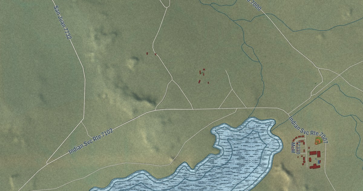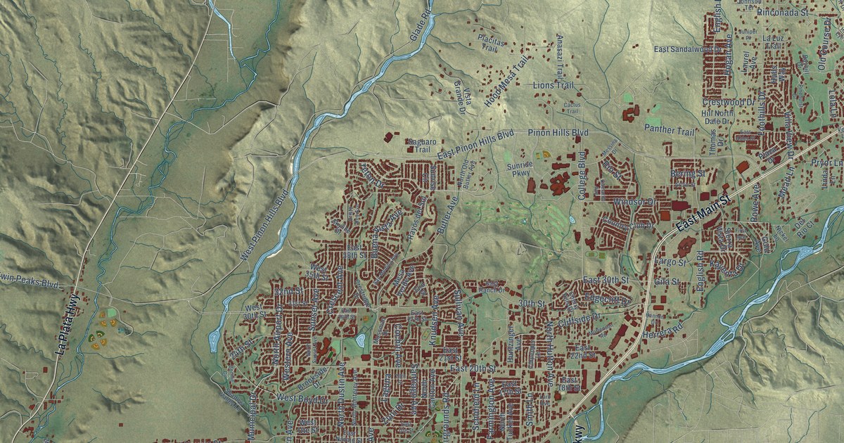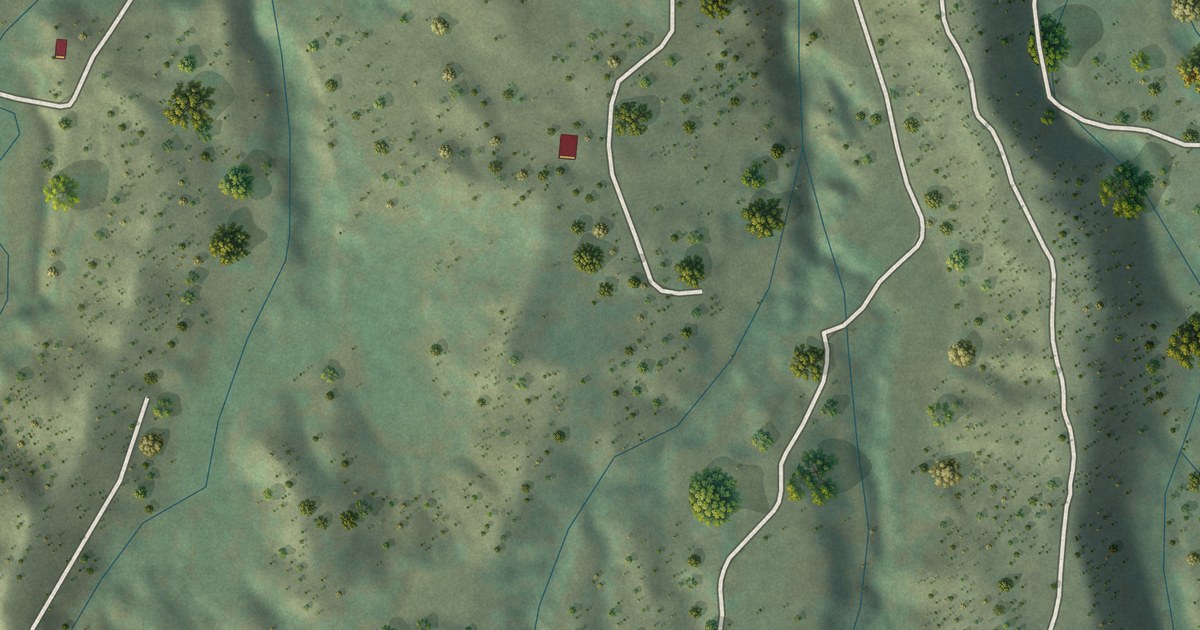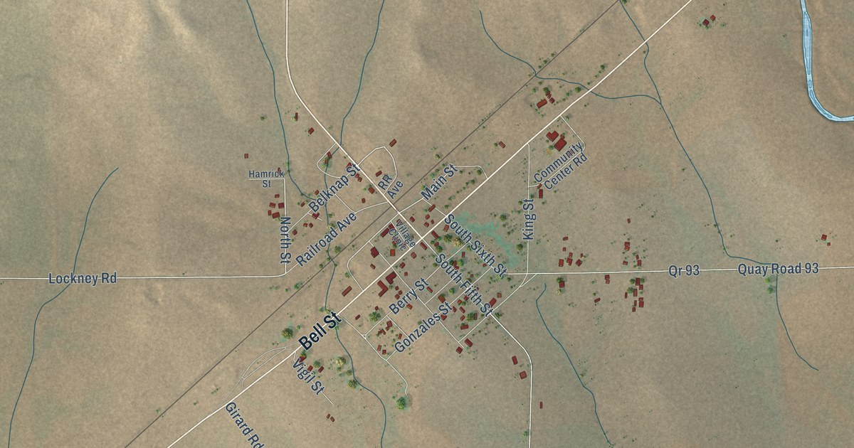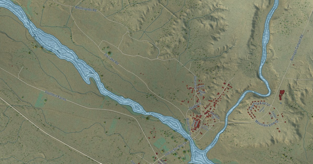
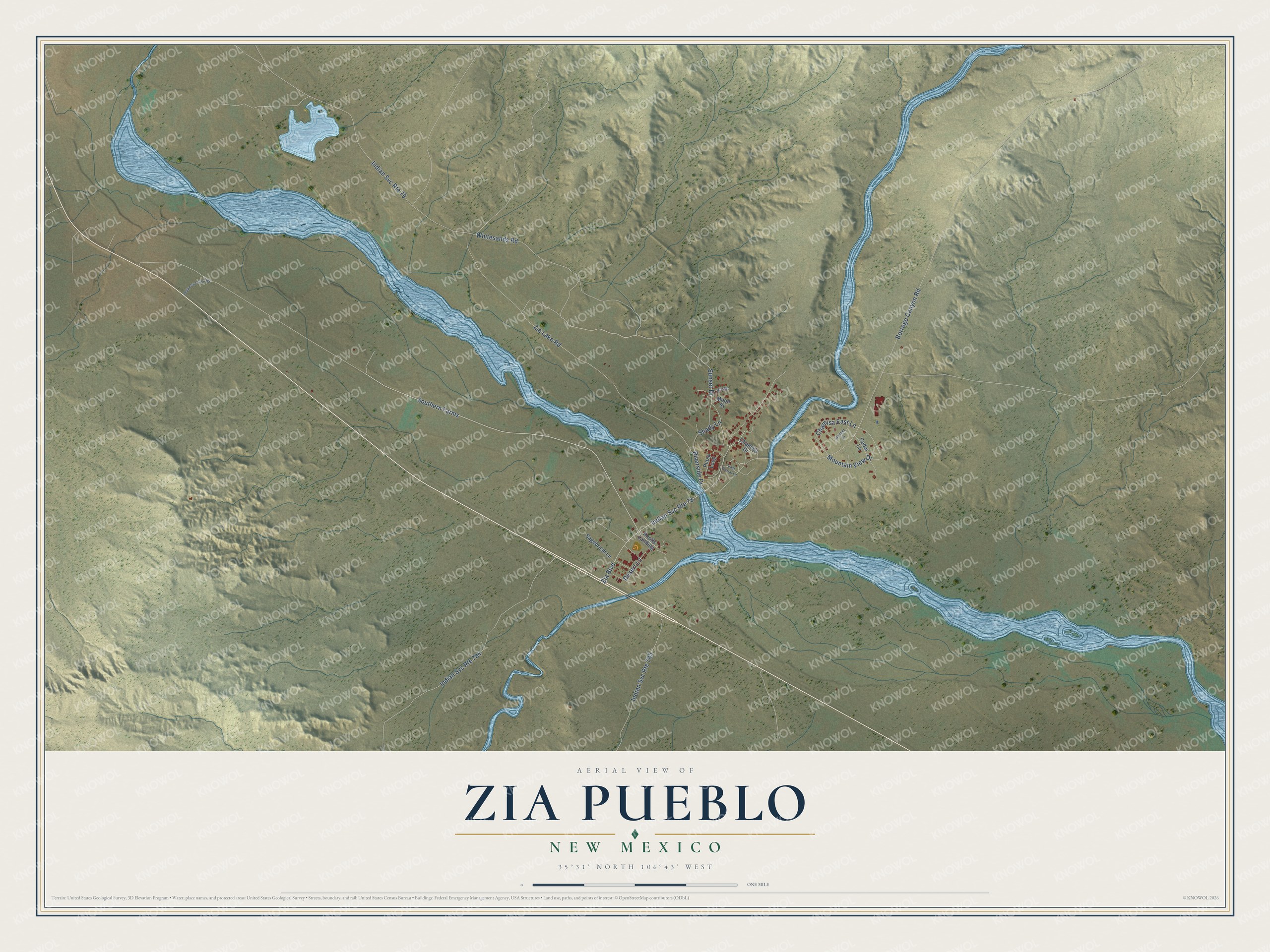
This beautifully detailed map of Zia Pueblo, New Mexico was created in 2026 using aerial imagery combined with modern topographical, census, street and landmark data. It's a modern aerial view of Zia Pueblo in Sandoval County, New Mexico, that combines modern data with a vintage aesthetic. The roads feature printed names, and if you look closely you can find your exact house accurately shown in its correct location.
Explore an aerial view of Zia Pueblo, New Mexico
On this map you'll find Southern Farms, Borrego Canyon Road, Zia Lake Road, Zia Boulevard, Whitesands Road, Mountain View Drive, Sunset Drive, Chamisa East Lane, Riverside Drive, Desert Lane, Shady Lane, Knotts Landing, and more. Each red shape is a building, so zoom in on the preview and look for yours.
Zia Pueblo has a story worth telling. Keresan-speaking Zia people have lived atop their basalt mesa in north-central New Mexico since the 13th century, and their pueblo is more than 600 years old. Zia is the home of the Zia Sun Symbol, which began with the people of Zia in ancient times and holds a sacred meaning for them. Work on the pueblo's mission church, Nuestra Señora de la Asunción, began around 1694. That's from the Pueblo of Zia.
Zia Pueblo is a community in Sandoval County. The Census Bureau counted 760 people here in 2020.
Take a closer look at the Zia Pueblo map
Names on this map
These names are printed on this map.
Streets and roads: Southern Farms, Borrego Canyon Road, Zia Lake Road, Indian Svc Route 79, Zia Boulevard, Whitesands Road, Indian Svc Route 784, Indian Svc Route 78, Indian Svc Route 785, Mountain View Drive, Sunset Drive, Chamisa East Lane.
More street names, A to Z
Cedar Lane, Chamisa Drive, Desert Lane, East Corral Lane, Hill Drive, Indian Svc Route 782, Juniper Lane, Knotts Landing, Moon Street, Plaza Loop, Riverside Drive, Sagebrush Lane, Shady Lane.
See it on a wall
The Zia Pueblo map as a framed print. Swipe for more.


Created by KNOWOL in 2026. The buildings are small red shapes, the roads carry their printed names, and shaded relief shows the shape of the land. The title panel reads "AERIAL VIEW OF ZIA PUEBLO, NEW MEXICO" with 35°31' NORTH 106°43' WEST.
It looks right in a kitchen, an office or a den, and it's a gift for anyone who grew up in Zia Pueblo or moved away. Open the preview and find your street. See sizes and frames for the Zia Pueblo map.