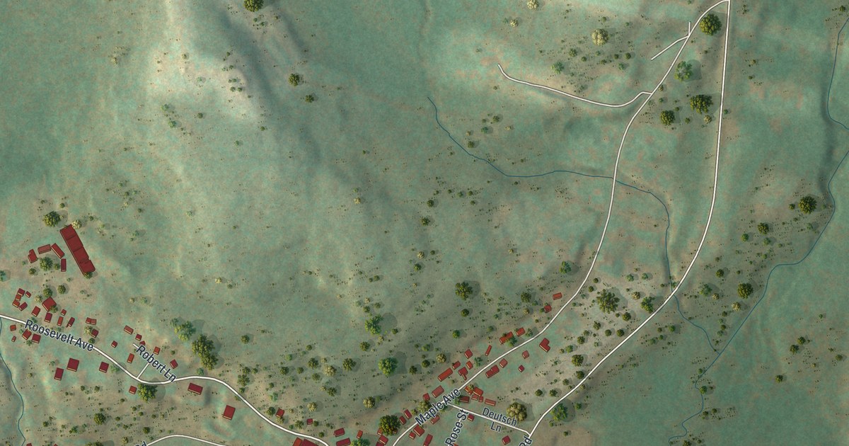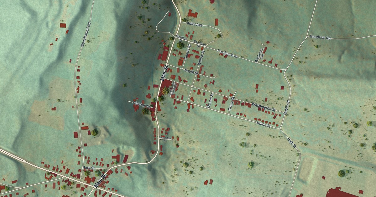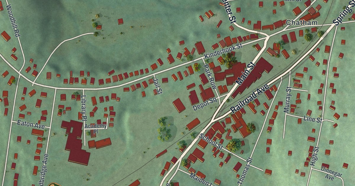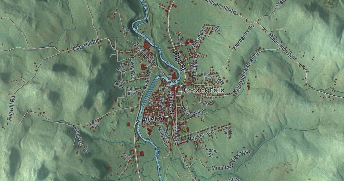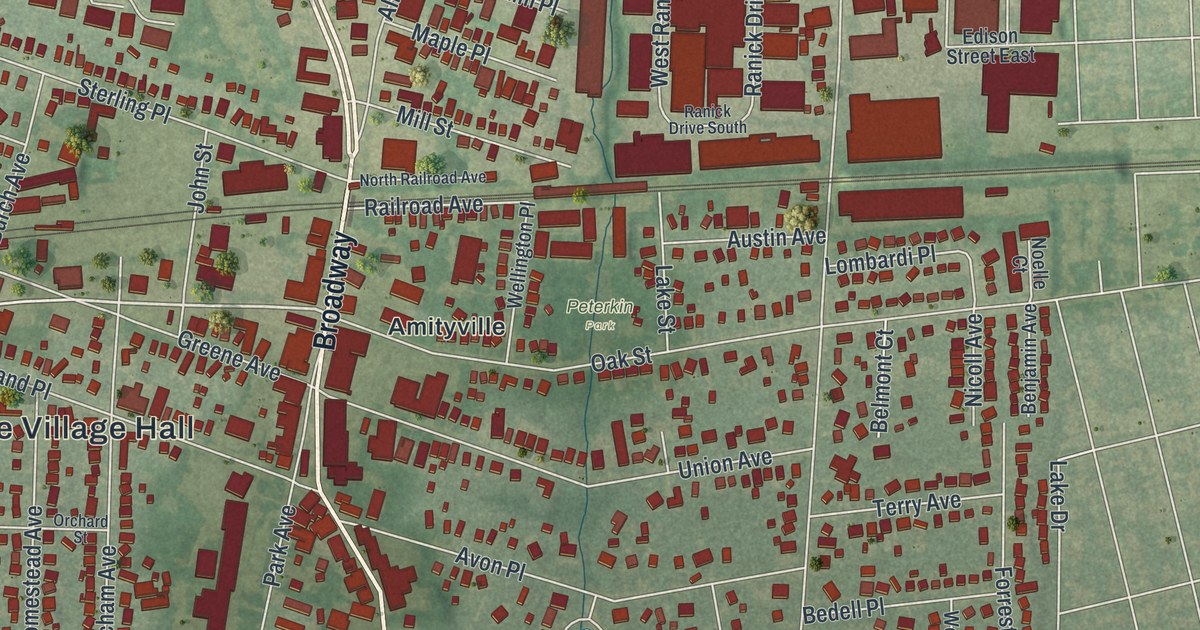
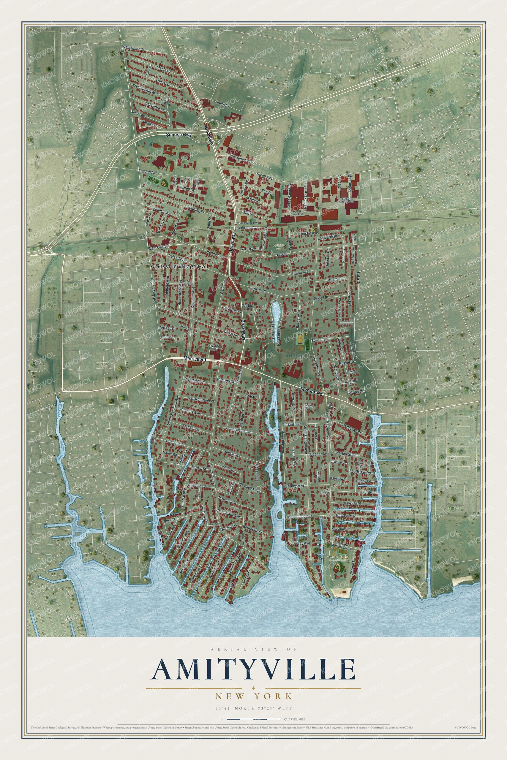
This beautifully detailed map of Amityville, New York was created in 2026 using aerial imagery combined with modern topographical, census, street and landmark data. It’s a one-of-a-kind view of Amityville that combines accurate data with a vintage aesthetic. The map shows every building in its true location, many of the roads carry their names, and the shaded topographic relief shows the shape of the land.
Explore an aerial view of Amityville, New York
On the map you’ll find Amityville Village Hall, James a Caples Memorial Park, and Peterkin Park, along with Merrick Road, Sunrise Highway, Oak Street, Richmond Avenue, and more. If you look closely you can even find your house accurately drawn in its correct location. Zoom in on the preview to look for yours.
Did You Know?
Settlers from Huntington first came to the Amityville area in 1653. They wanted its salt hay to feed their animals. Chief Wyandanch granted the first land deed here in 1658. The area was first called Huntington West Neck South.
Take a closer look at the Amityville map
Names on this map
These names are printed on this map.
Places: Amityville Village Hall, James a Caples Memorial Park, Peterkin Park and Amityville.
Streets and roads: Merrick Road, Broadway, Sunrise Highway, West Oak Street, County Line Road, Richmond Avenue, Bayview Avenue, Grand Central Avenue, Ocean Avenue, South Bayview Avenue, South Ketcham Avenue, Dixon Avenue.
More street names, A to Z
Albany Avenue, Anita Place, Anthony Court, Austin Avenue, Avon Place, Barberry Court, Bayside Avenue, Bayside Place, Bayview Avenue South, Bayview Lane, Bayview Place, Bayview Road, Bedell Place, Belmont Court, Benjamin Avenue, Bennett Place, Berger Avenue, Bingham Place, Bourdette Place, Braham Avenue, Breslin Way, Bryan Avenue, Bunny Lane, Burch Avenue, Burdette Place, Carlton Avenue, Carman Place, Cedar Lane, Cedar Street, Central Avenue, Chadwick Court, Chichester Avenue, Coles Avenue, Cooper Avenue, Cottage Place, Curcio Way, Deforest Street, Dewey Avenue, Dowsing Place, East Lake Drive, Edan Court, Edison Street, Edison Street East, Elliot Court, Elm Place, Etna Court, Forrest Place, Franklin Street, Frost Lane, Grace Court, Greene Avenue, Griffing Avenue, Guilette Place, Hamilton Street, Harbor North, Harbor South, Hildreth Court, Homestead Avenue, Ireland Place, John Street, Joseph Court, Ketcham Avenue, King Place, Lafayette Avenue, Lake Drive, Lake Street, Lebrun Avenue, Lewis Street, Locust Avenue, Locust Drive, Lombardi Place, Louden Avenue, Macdonald Avenue, Maple Drive, Maple Place, Marion Road, Meadow Lane, Mill Street, Mincher Place, Mole Place, Moreland Court, Morris Street, New Point Place, Nicoll Avenue, Noelle Court, Norman Avenue, North Railroad Avenue, Oak Street, Oldfield Avenue, Orchard Street, Park Avenue, Peppermill Lane, Perkins Avenue, Prospect Street, Purdy Lane, Railroad Avenue, Ranick Drive East, Ranick Drive South, Riverleigh Place, Riverside Avenue, Riverside Street, Robbins Avenue, Rochelle Court, Russel Street, Salt Box Path, Sarah Court, Shore Road, Smith Place, South Bay Avenue, South Bay Road, South Drive, South Gaylore Drive, South Ireland Place, Sprague Avenue, Sterling Place, Stuart Avenue, Sunset Avenue, Swartout Place, Terry Avenue, Towne Street, Turner Place, Union Avenue, Unqua Place, Van Nostrand Place, Victoria Drive, Virginia Court, Walter Street, Wanser Place, Washington Avenue, Weatherly Place, Wellington Place, West Gaylore Drive, West Lake Drive, West Ranick Drive, West Smith Street, Whitney Drive, William Street, Willis Avenue, Windsor Court, Wood Avenue.
See it on a wall
The Amityville map as a framed print. Swipe for more.


This beautifully detailed map of Amityville makes an attractive addition to your office, library, or den, and it can even be used to teach children the geography and history of the area. It also makes a great gift for anyone with Amityville roots. When you’re done exploring, click here to get your copy of the Amityville map.