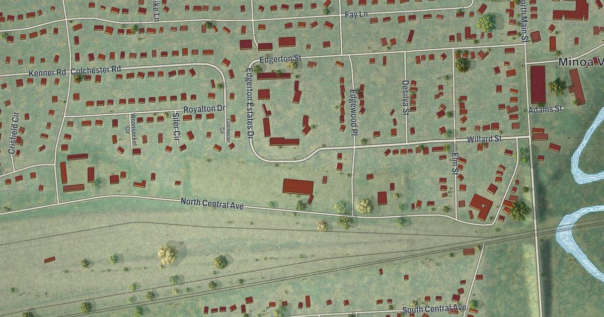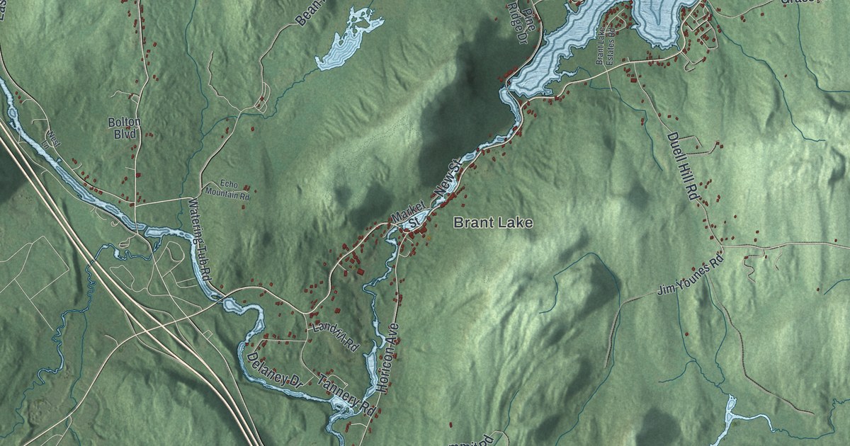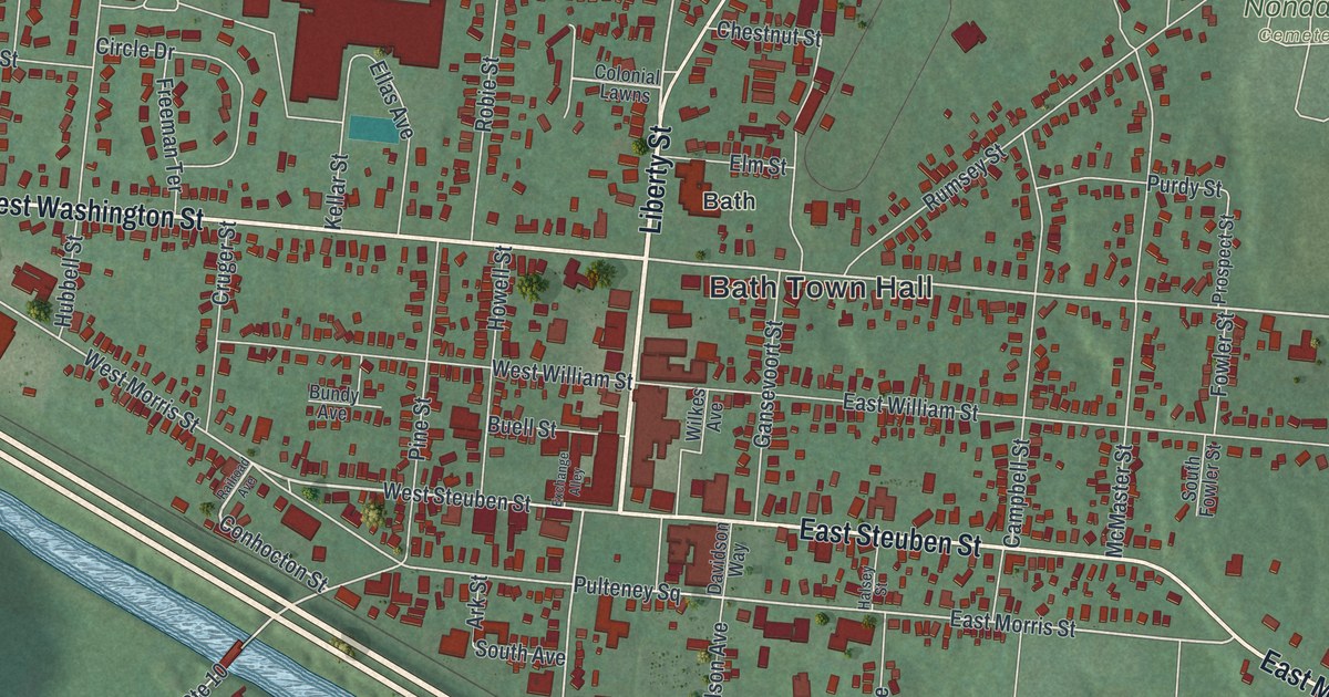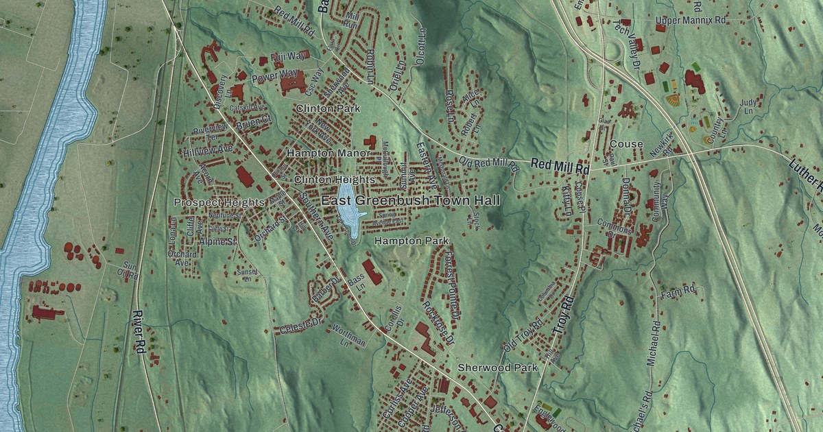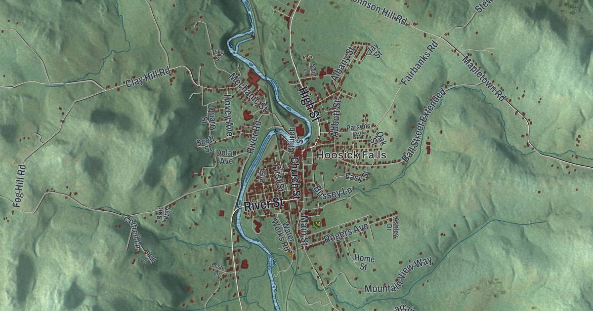
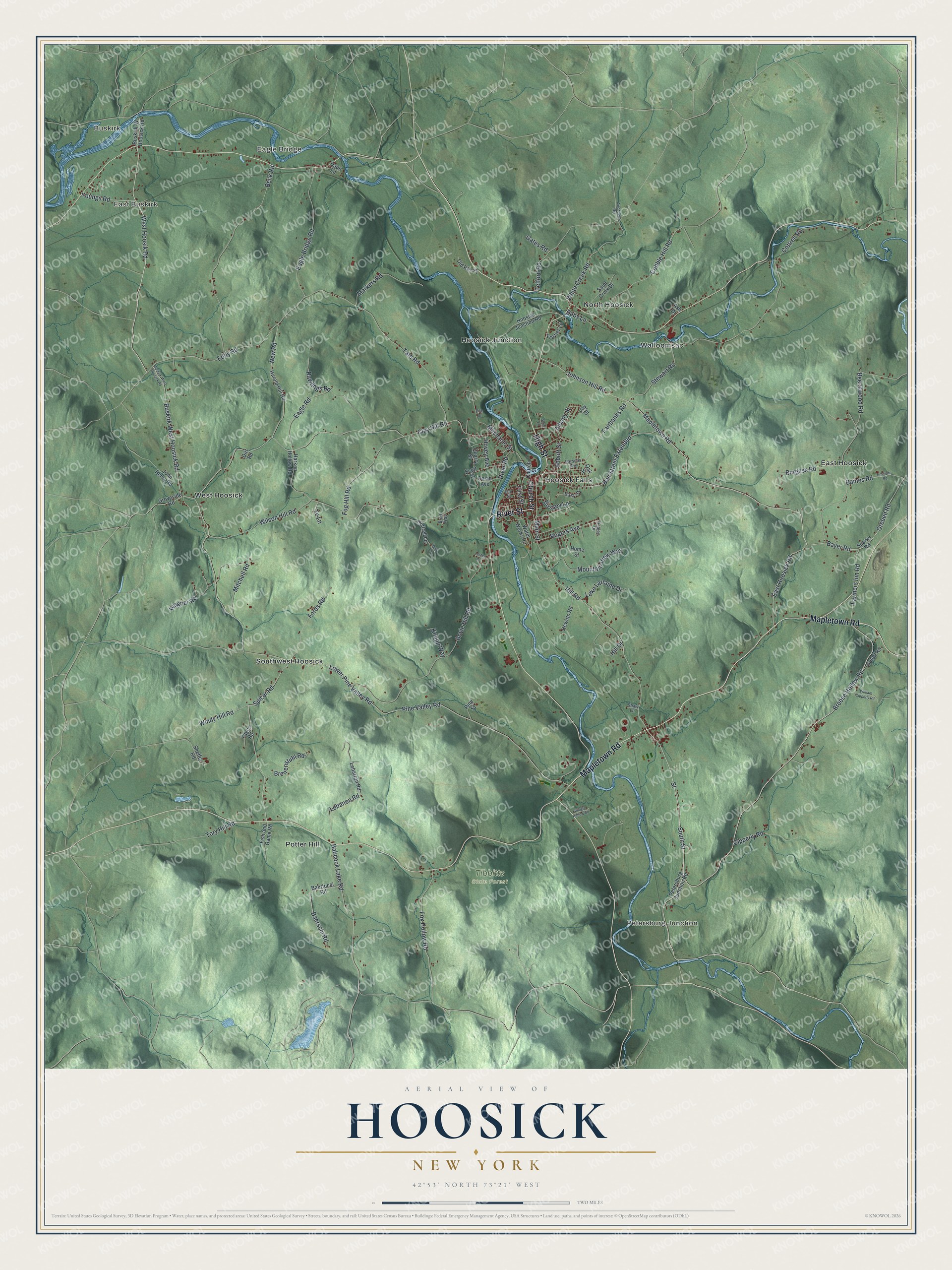
This beautifully detailed map of Hoosick, New York was created in 2026 using aerial imagery combined with modern topographical, census, street and landmark data. It’s a one-of-a-kind view of Hoosick that combines accurate data with a vintage aesthetic. The map shows every building in its true location, many of the roads carry their names, and the shaded topographic relief shows the shape of the land.
Explore an aerial view of Hoosick, New York
On the map you’ll find Buskirk, East Buskirk, Eagle Bridge, Petersburg Junction, East Hoosick, and Tibbitts State Forest, along with River Street, Mapletown Road, High Street, Church Street, Breese Hollow Road, and more. If you look closely you can even find your house accurately drawn in its correct location. Zoom in on the preview to look for yours.
Did You Know?
The Hoosac School was founded here in 1889 as an Episcopal prep school for boys. It was modeled on the English boys’ school. Each year it holds a Boar’s Head and Yule Log festival. Boys drag a giant oak log into the dining room, and the headmaster sets it blazing in the fireplace. That’s from the 1940 WPA guide to New York.
Take a closer look at the Hoosick map
Names on this map
These names are printed on this map.
Places: Buskirk, East Buskirk, Eagle Bridge, Petersburg Junction, Tibbitts State Forest, East Hoosick, Hoosick Falls, Hoosick Junction, North Hoosick, Potter Hill, Southwest Hoosick, Walloomsac and West Hoosick.
Streets and roads: River Street, Mapletown Road, High Street, Breese Hollow Road, South Street, Farmers Inn Road, Bayer Road, Street, Orebed Road, Fairbanks Road, Buskirk West Hoosick Road, West Hoosik Road.
More street names, A to Z
Abbott Street, Albany Street, Andrews Road, Ash Drive, Ashley Drive, Babcock Lake Road, Baby Lane, Baerschi Road, Baertucci Road, Baines Road, Ball Street Extended, Beck Road, Beechwood Road, Bovie Hill Road, Brenenstuhl Road, Brud Way, Burgess Road, Buskirk-West Hoosick Road, Buskirk-W Hoosick Road, Bussey Lane, Church Street, Cipperly Road, Clay Hill Road, Cobble Hill Road, Cottrell Lane, Cottrell Road, Cutoff Road, Daun Lane, Dirt Road, Dolan Avenue, Eagle Bridge Road, Eagle Road, East Hoosick Road, Easy Street, Eddy Road, Elm Street, Emmons Road, First Street, Fish and Game Road, Fog Hill Road, Fords Road, Fox Hollow Road, Frazier Lane, Gates Road, Groveside Road, Harken Hollow Road, Harold Hill Road, Helft Lane, Hewitts Road, Hill Drive, Hill Road, Home Street, Hoosick Junction Road, Hovey Avenue, Jay Street, John Henry Road, Johnson Hill Road, Knapp Way, Lake Larraine Drive, Lebanon Road, Lebarron Road, Lester Lane, Lower Pine Valley Road, Main Street, Markers Road, Mechanic Street, Mitchell Road, Mountain View Way, New Road, Oak Street, Old Route 22, Parsons Avenue, Petersburg Junction Road, Pike Street, Pine Street, Pine Valley Road, Quarry Street, Rawlings Road, River Road, Rogers Avenue, Saint Croix Drive, Scott Lane, Scott Street, Shaw Lane, Sheffer Road, Shingle Hollow Road, Sparks Road, Spicer Road, Stewart Road, Tate Road, Tc Lane, Telford Road, Tory Hill Road, Wagner Road, Water Works Road, White Creek Road, William Cipperly Road, Wilson Hill Road, Windy Hill Road, Yager Road, Youngs Road.
See it on a wall
The Hoosick map as a framed print. Swipe for more.


This beautifully detailed map of Hoosick makes an attractive addition to your office, library, or den, and it can even be used to teach children the geography and history of the area. It also makes a great gift for someone who left Hoosick and still calls it home. When you’re done exploring, click here to get your copy of the Hoosick map.