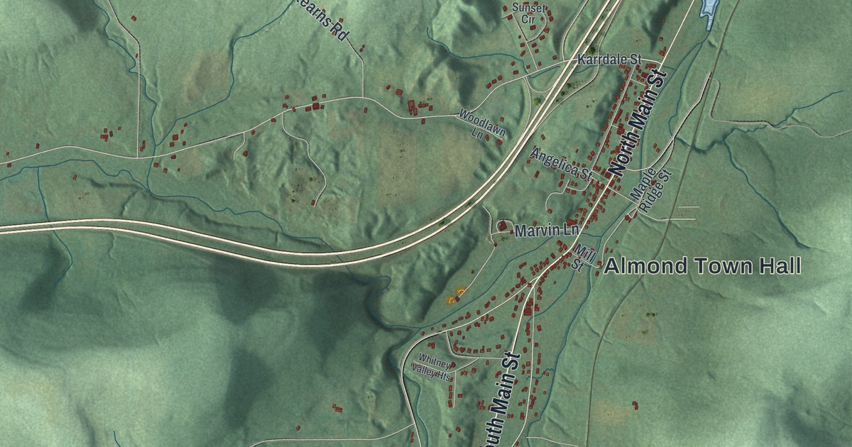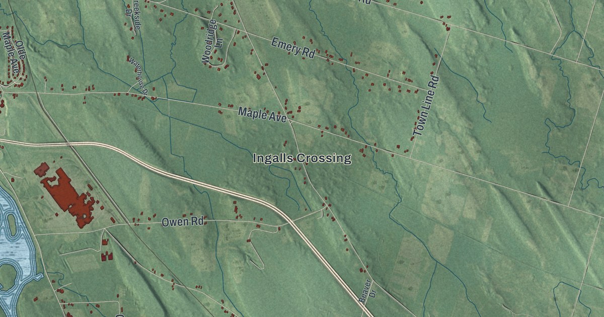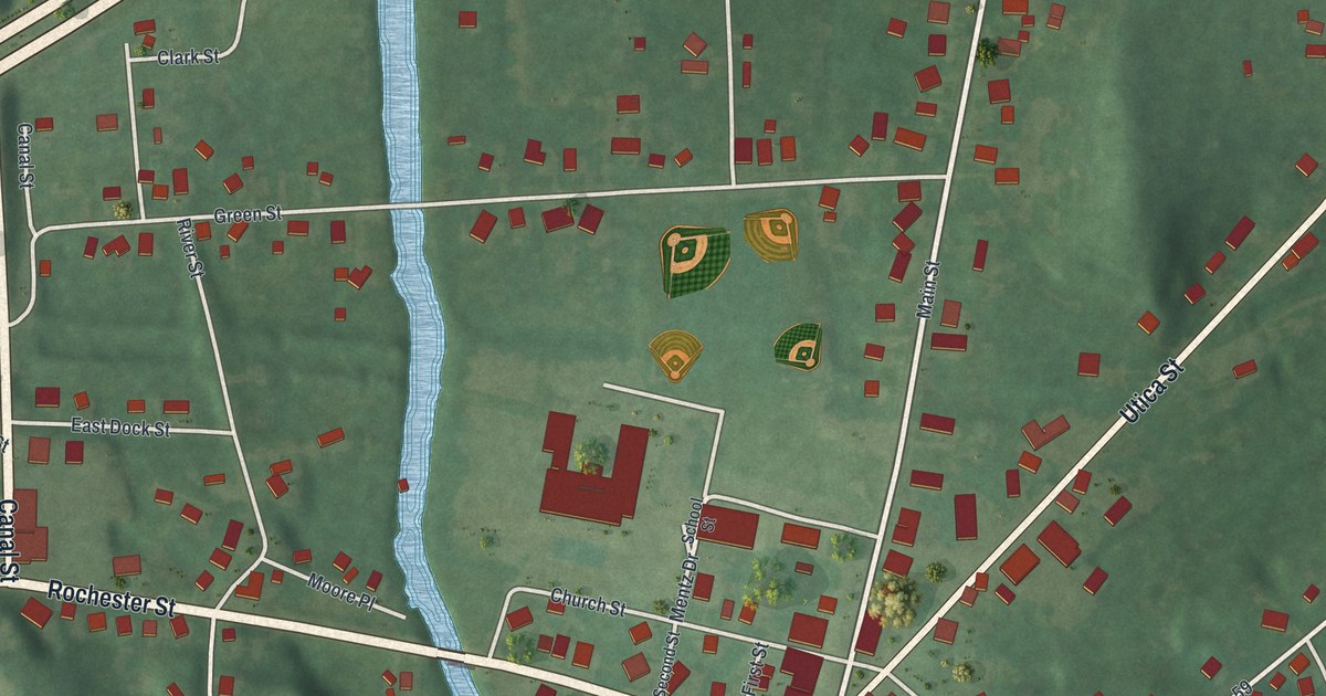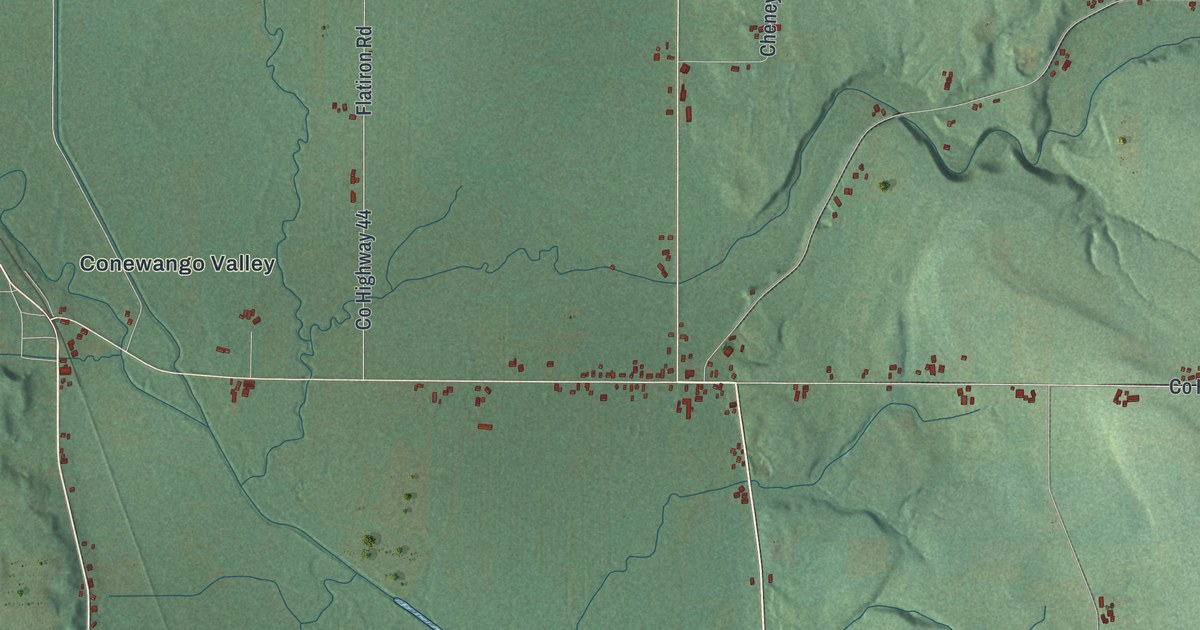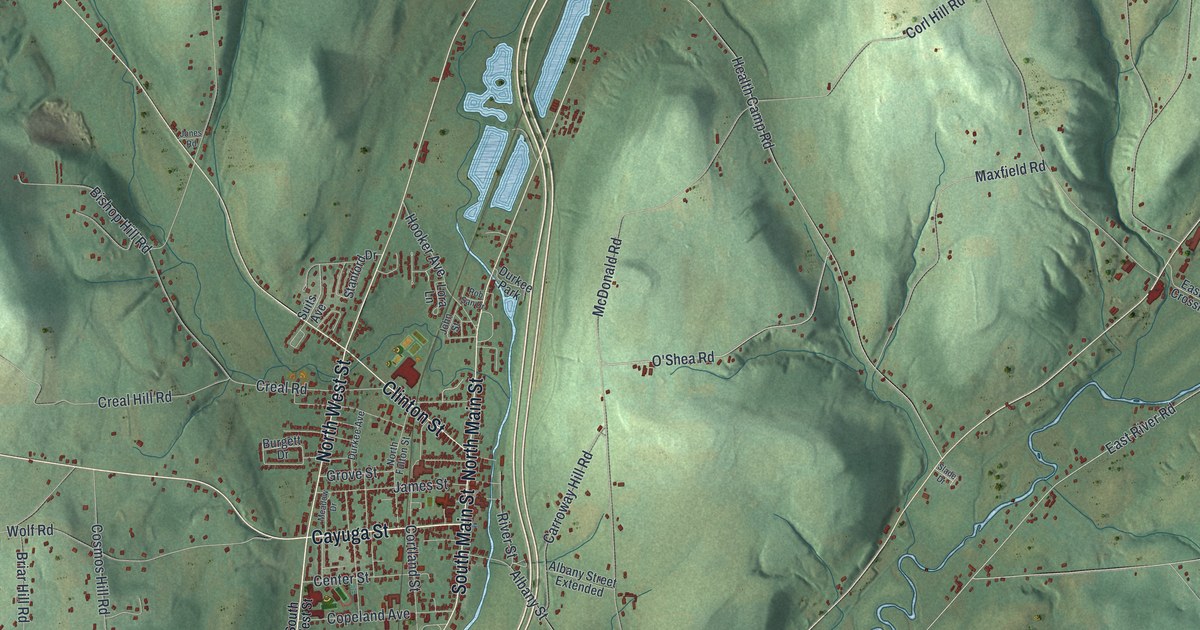
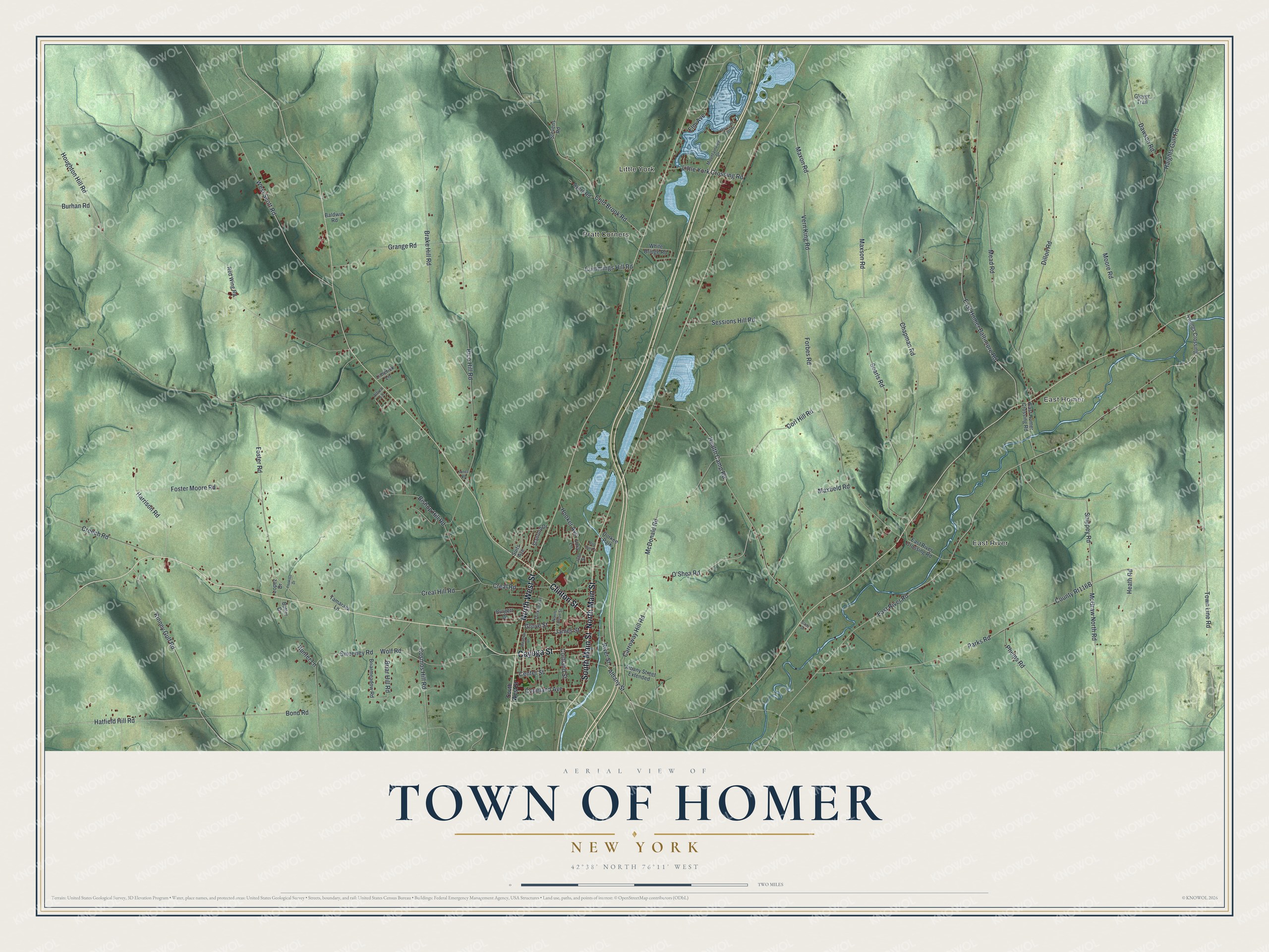
This beautifully detailed map of the Town of Homer, New York was created in 2026 using aerial imagery combined with modern topographical, census, street and landmark data. It’s a one-of-a-kind view of the Town of Homer that combines accurate data with a vintage aesthetic. The map shows every building in its true location, many of the roads carry their names, and the shaded topographic relief shows the shape of the land.
Explore an aerial view of the Town of Homer, New York
On the map you’ll find East Homer, East River, Little York, and Pratt Corners, along with West Street, Clinton Street, Main Street, Cayuga Street, O’Shea Road, and more. If you look closely you can even find your house accurately drawn in its correct location. Zoom in on the preview to look for yours.
Did You Know?
Homer lay inside the Central New York Military Tract. The cash-poor state paid its Revolutionary War soldiers with land there. State surveyors gave this township the name of the Greek poet Homer. Settlers arrived in 1791, and the town was established in 1794.
Take a closer look at the Town of Homer map
Names on this map
These names are printed on this map.
Places: East Homer, East River, Little York, Pratt Corners and Durkee Park.
Streets and roads: North West Street, Clinton Street, North Main Street, Cayuga Street, South Main Street, O'Shea Road, Maxon Road, Hatfield Hill Road, East River Road, Parks Road, Houghton Hill Road, Brake Hill Road.
More street names, A to Z
Albany Street, Albany Street Extended, Alfred Lane, Ayers Road, Baldwin Road, Bishop Hill Road, Bond Road, Briar Hill Road, Briarmeadow Road, Burgett Drive, Burhan Road, Butler Drive, Carroway Hill Road, Center Street, Chapman Road, Cold Brook Road, Copeland Avenue, Corl Hill Road, Cortland Street, Cosmos Hill Road, Creal Hill Road, Creal Road, Creech Road, Cummings Hill Road, Dawson Road, Dillon Road, Durkee Avenue, East Homer Baltimore Road, East Homer Crossing Road, East River Crossing Road, Elm Avenue, Forbes Road, Foster Moore Road, Foster Road, Glover Trail, Grange Road, Grove Street, Haights Gulf Road, Harrison Road, Health Camp Road, Heath Road, Hooker Avenue, Hunter Lane, James Street, John Street, Jones Road, Kinney Gulf Road, Limerick Lane, Little York Crossing Road, Lookout Drive, Lopez Drive, Lora Lane, Maxfield Road, Maxson Road, McDonald Road, McGraw North Road, Meadow Drive, Mead Road, Moore Road, Mountain East Drive, Mountainview Drive, North Fulton Street, Phelps Road, Red Wing Road, Rice Hill Road, River Street, Rob San Drive, Searls Road, Sessions Hill Road, Shippey Road, Slade Drive, South West Street, Stanford Drive, Stevens Road, Suits Avenue, Sweeney Road, Tamarack Lane, Town Line Road, Vern King Road, West Scott Road, White Bridge Road, Wolf Road, Youngs Crossing.
See it on a wall
The Homer map as a framed print. Swipe for more.


This beautifully detailed map of the Town of Homer makes an attractive addition to your office, library, or den, and it can even be used to teach children the geography and history of the area. It also makes a great gift for someone who left the Town of Homer and still calls it home. When you’re done exploring, click here to get your copy of the Town of Homer map.