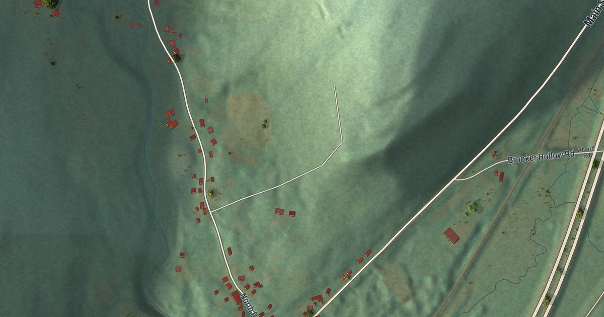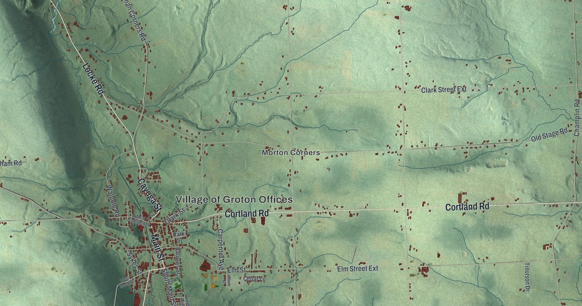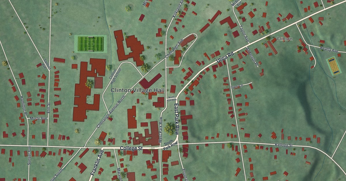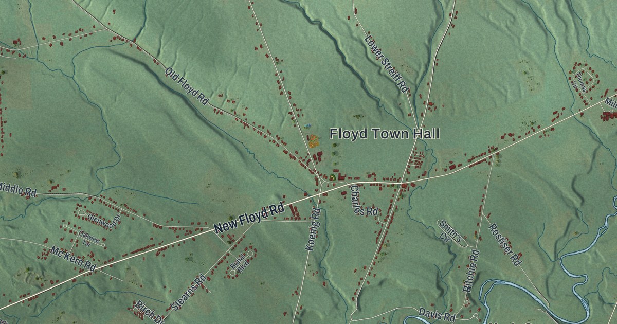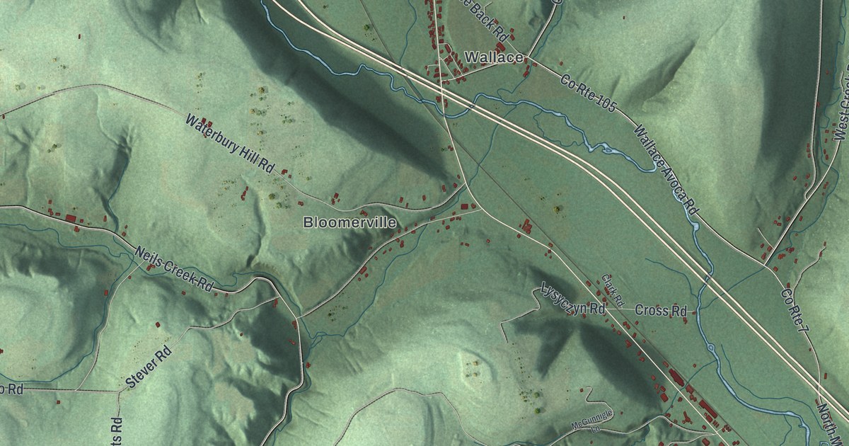
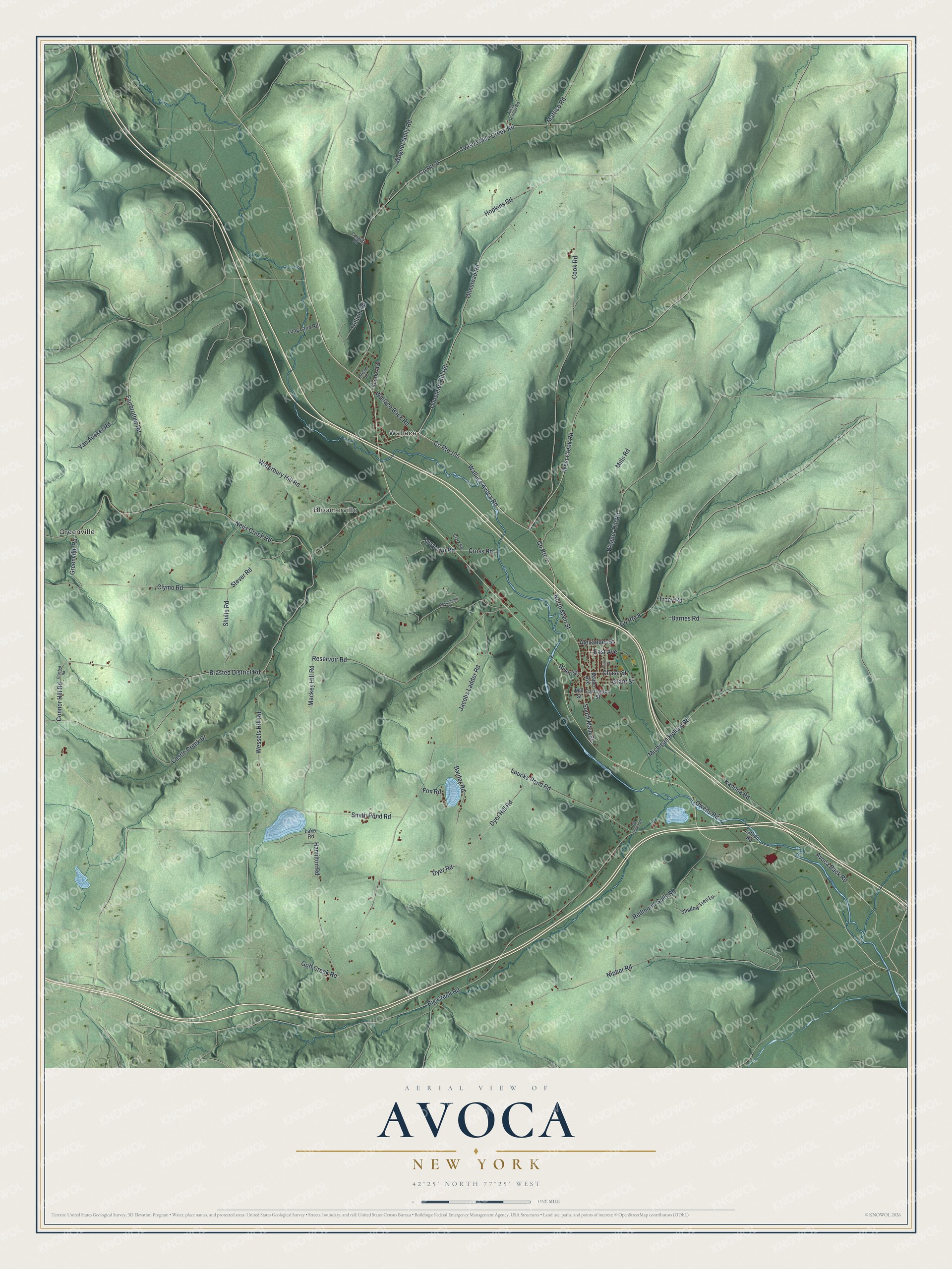
This beautifully detailed map of Avoca, New York was created in 2026 using aerial imagery combined with modern topographical, census, street and landmark data. It’s a one-of-a-kind view of Avoca that combines accurate data with a vintage aesthetic. The map shows every building in its true location, many of the roads carry their names, and the shaded topographic relief shows the shape of the land.
Explore an aerial view of Avoca, New York
On the map you’ll find Greenville, Wallace, and Bloomerville, along with Olmstead Hill Road, Wallace Avoca Road, Main Street, Creek Road, Cook Road, and more. If you look closely you can even find your house accurately drawn in its correct location. Zoom in on the preview to look for yours.
Did You Know?
Avoca took its name from a Thomas Moore poem about Avoca in Ireland. The first settler came around 1794, when the Seneca lived in the area. The town was formed in 1843 from parts of Bath, Cohocton, Howard and Wheeler.
Take a closer look at the Avoca map
Names on this map
These names are printed on this map.
Places: Greenville, Wallace and Bloomerville.
Streets and roads: Olmstead Hill Road, County Route 105, Wallace Avoca Road, North Main Street, West Creek Road, Cook Road, Wagner Hill Road, Neils Creek Road, South Main Street, Trillium Road, Brasted District Road, Loucks Pond Road.
More street names, A to Z
Alexander Street, Avery Hollow Road, Avoca Back Road, Barnes Road, Bauter Road, Big Creek Road, Brasted Road, Carrington Street, Castle Creek Drive, Chase Street, Clark Road, Clymo Road, Connor Hill Road, Cosgriff Road, County Route 7, County Route 8, County Route 9, Cross Road, Dyer Hill Road, Dyer Road, East Avenue, Ellison Lane, Fairbrother Road, Fox Road, Goff Creek Road, Grant Street, Greenville Road, Hamilton Road, Hopkins Road, Jacobs Ladder Road, Kanona Road, Khorks Avenue, Lake Road, Lathop Road, Long Lane Road, Lysyczyn Road, Mackey Hill Road, Maple Avenue, Mattice Road, McGunnigle Lane, Michigan Hollow Road, Mills Road, Mill Street, Nipher Road, Old Avoca Road, Oliver Street, Olmstead Road, Owens Road, Redmond Gully Road, Reservoir Road, River Street, Shadow Tree Lane, Shults Road, Smith Pond Road, Stever Road, Tracy Road, Twelve Mile Creek Road, Van Aucker Road, Wagner Gully Road, Wallace Back Road, Waterbury Hill Road, Wessels Hill Road.
See it on a wall
The Avoca map as a framed print. Swipe for more.


This beautifully detailed map of Avoca makes an attractive addition to your office, library, or den, and it can even be used to teach children the geography and history of the area. It also makes a great gift for someone who left Avoca and still calls it home. When you’re done exploring, click here to get your copy of the Avoca map.