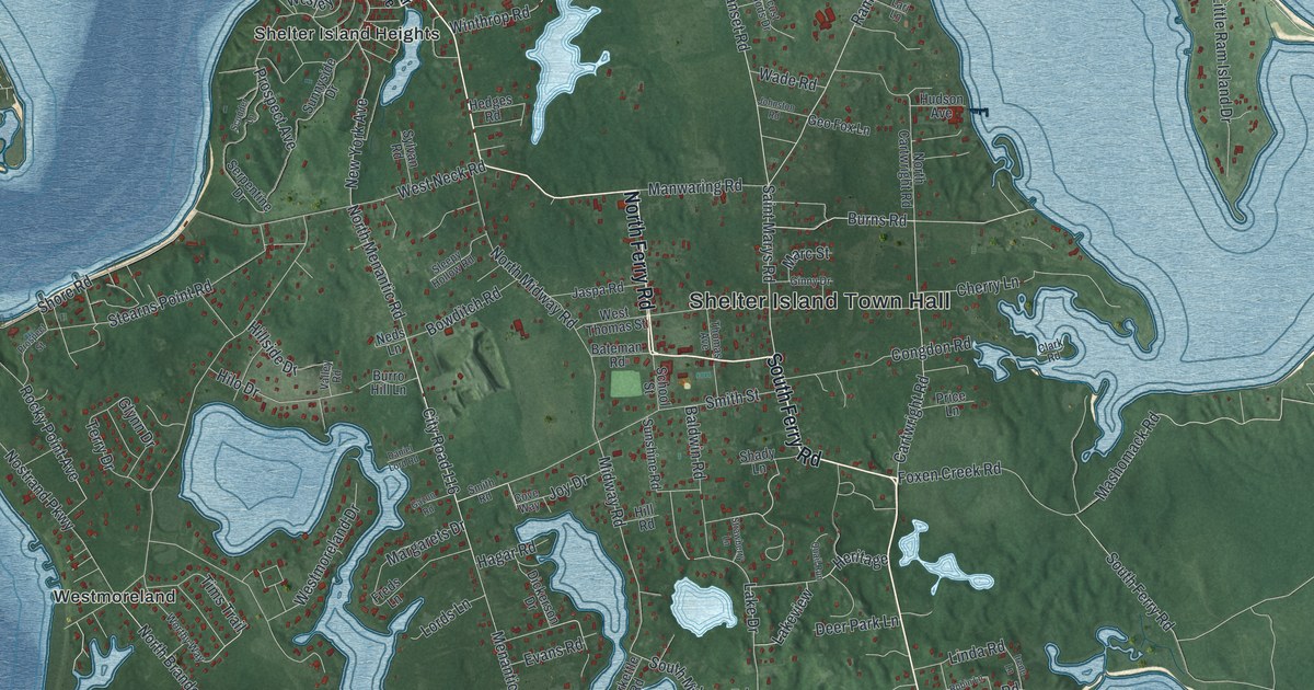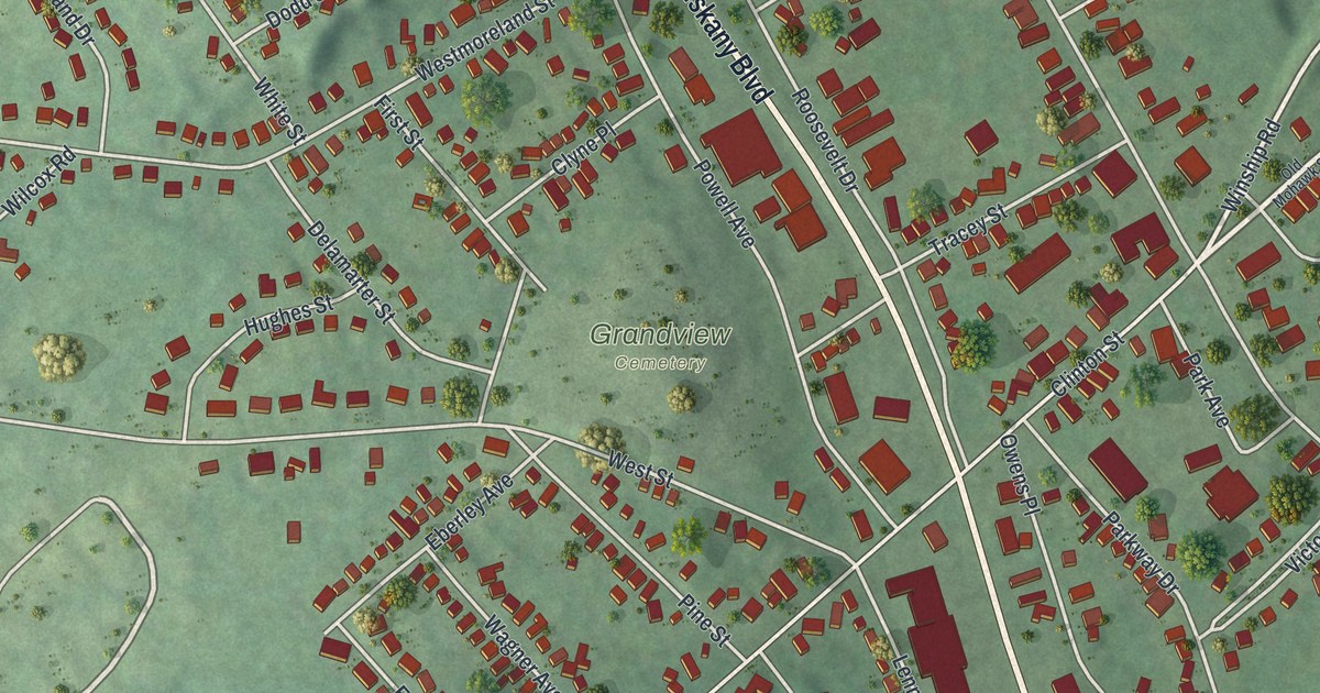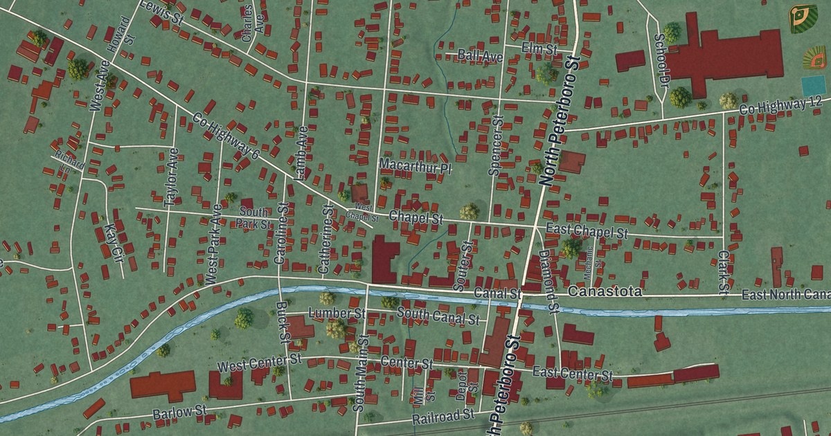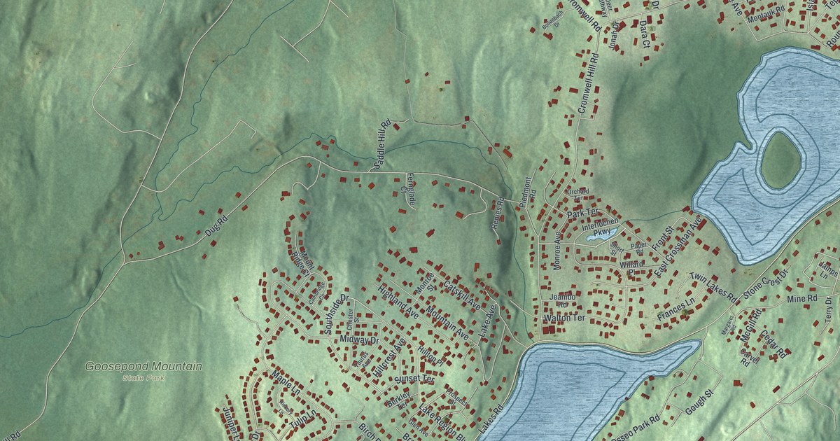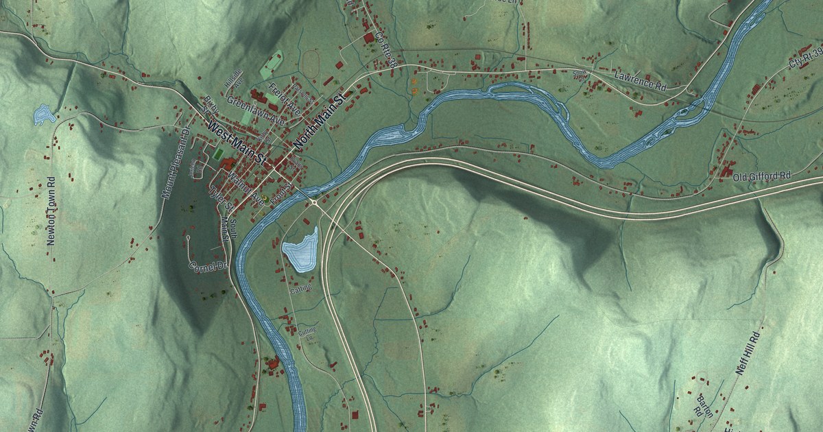
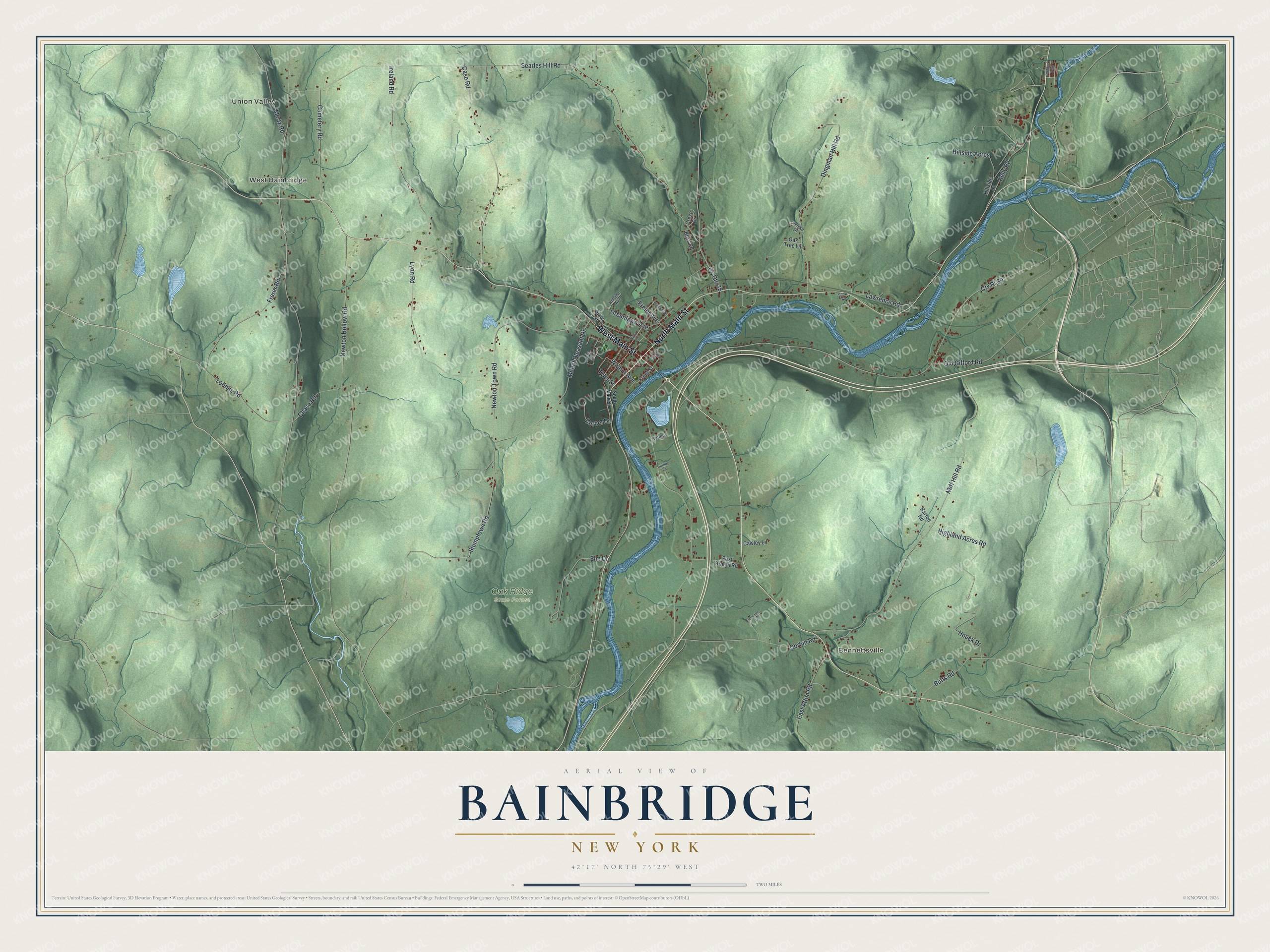
This beautifully detailed map of Bainbridge, New York was created in 2026 using aerial imagery combined with modern topographical, census, street and landmark data. It’s a one-of-a-kind view of Bainbridge that combines accurate data with a vintage aesthetic. The map shows every building in its true location, many of the roads carry their names, and the shaded topographic relief shows the shape of the land.
Explore an aerial view of Bainbridge, New York
On the map you’ll find Union Valley, West Bainbridge, Bennettsville, and Oak Ridge State Forest, along with Main Street, Houck Drive, Searles Hill Road, Newton Town Road, Neff Hill Road, and more. If you look closely you can even find your house accurately drawn in its correct location. Zoom in on the preview to look for yours.
Did You Know?
The first European American settlers arrived around 1788. Known as the Vermont Sufferers, they had lost their land claims in eastern New York when Vermont sold the same land. The town was formed in 1791 as Jericho. In 1814 it took the name Bainbridge to honor Navy Commodore William Bainbridge.
Take a closer look at the Bainbridge map
Names on this map
These names are printed on this map.
Places: Union Valley, West Bainbridge, Bennettsville, Oak Ridge State Forest and Paddock Park.
Streets and roads: North Main Street, West Main Street, Houck Drive, Searles Hill Road, Newton Town Road, Neff Hill Road, County Route 38, Case Road, Dingman Hill Road, Lyon Road, Ireland Road, Mount Pleasant Drive.
More street names, A to Z
Barton Road, Bixby Street, Bliss Road, Butts Road, Catting, Cawley Lane, Cemetery Road, Chase Road, Corbin Road, Cornel Drive, Crest Drive, Cty Rt 39, Cutting Lane, Devries Lane, East Afton Road, East Keech Road, Elm Drive, Evans Street, Felske Drive, Freiot Avenue, Frerer Road, Front Street, Greenlawn Avenue, Highland Acres Road, Hillside Acres, Hillside Avenue, Hillside Lane, Jericho Road, Kelly Road, Kirby Street, Lawrence Road, Loomis Road, Mertz Road, Newton Hollow Road, Oak Tree Lane, Old Gifford Road, Parsons Street, Snow Lane, South Main Street, Stumptown Road, Tyler Street, Walnut Avenue.
See it on a wall
The Bainbridge map as a framed print. Swipe for more.


This beautifully detailed map of Bainbridge makes an attractive addition to your office, library, or den, and it can even be used to teach children the geography and history of the area. It also makes a great gift for anyone who grew up in Bainbridge or moved away. When you’re done exploring, click here to get your copy of the Bainbridge map.