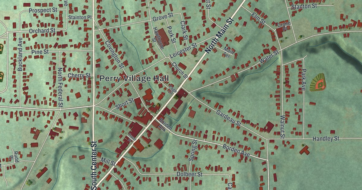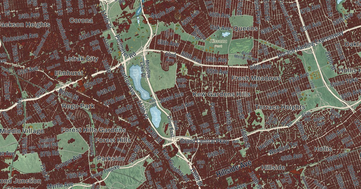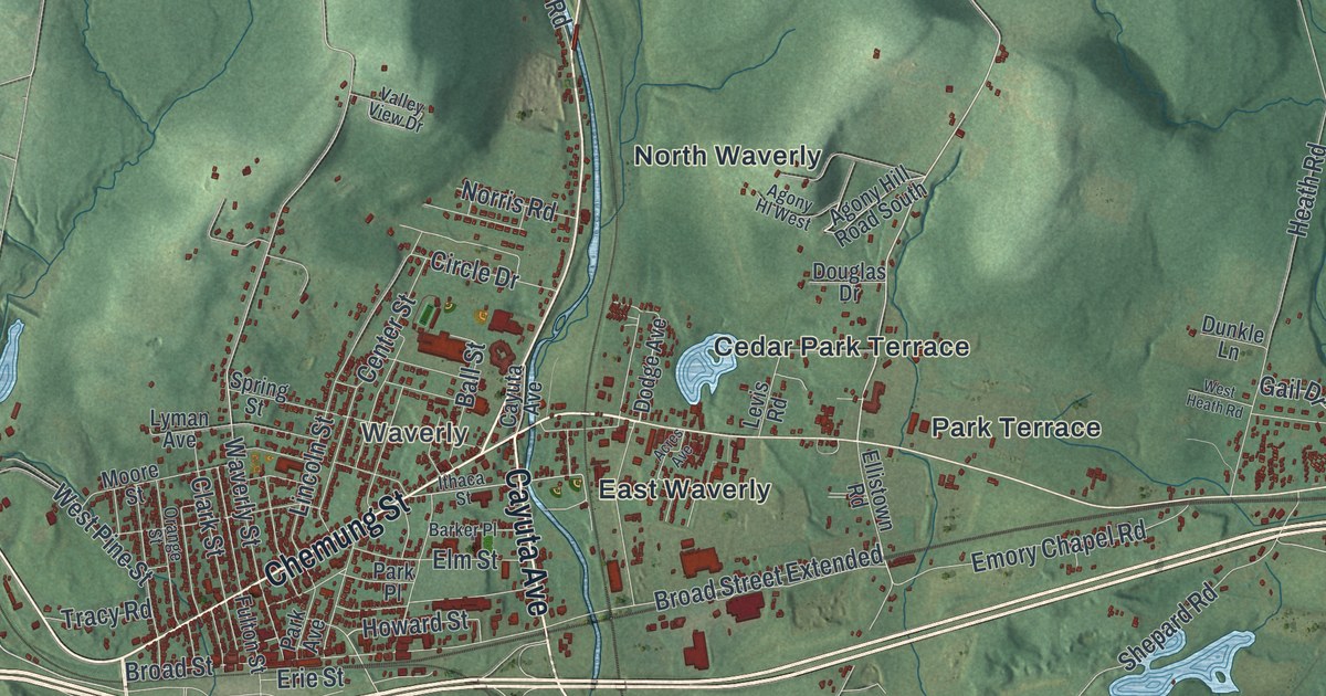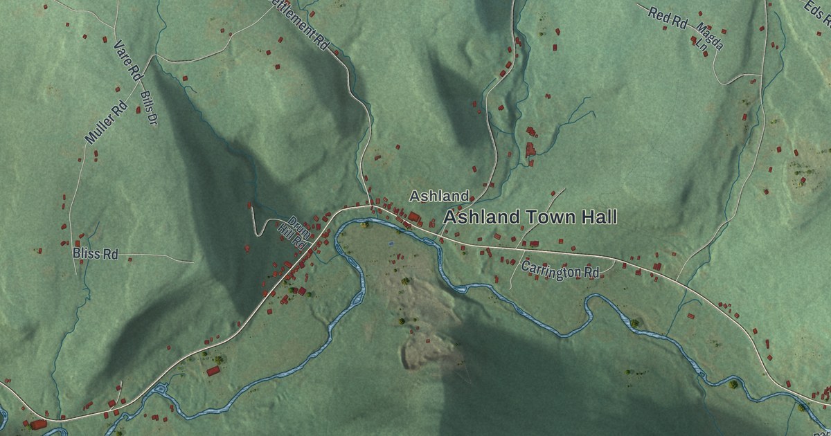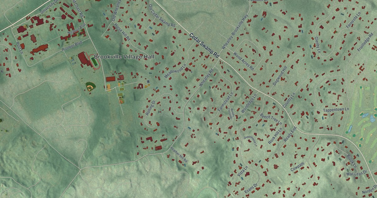
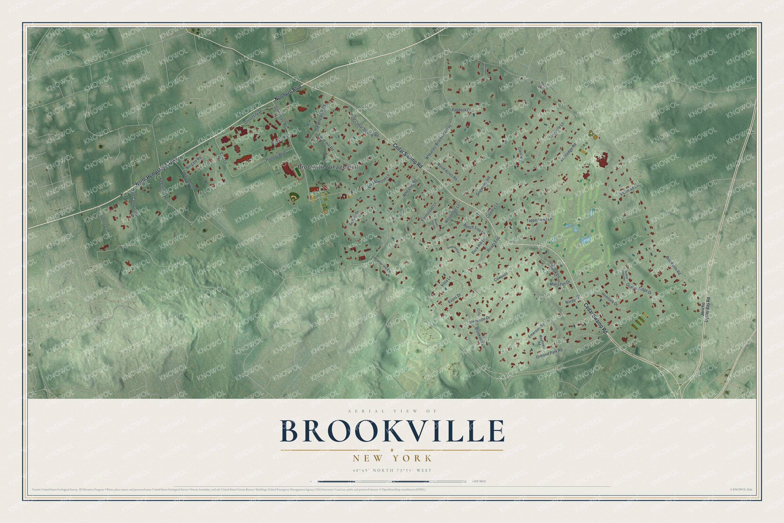
This beautifully detailed map of Brookville, New York was created in 2026 using aerial imagery combined with modern topographical, census, street and landmark data. It's a modern aerial view of Brookville in Nassau County, New York, that combines modern data with a vintage aesthetic. The roads feature printed names, and if you look closely you can find your exact house accurately shown in its correct location.
Explore an aerial view of Brookville, New York
On this map you'll find Brookville Village Hall, Northern Boulevard, North Hempstead Turnpike, Cedar Swamp Road, Gold Coast Road, University Drive, Post Lane, Old Campus Road, Brookville Road, Wheatley Road, Wheatley-Brookville Highway, Glenby Lane, and more. Each red shape is a building, so zoom in on the preview and look for yours.
Every town has a first chapter, and Brookville is no exception. The Village of Brookville puts it this way: "Perhaps because the countryside boasted many brooks, the area became known informally as Brookville. It wasn't until after the Civil War that Brookville became the preferred name and was used on 1873 maps." Around 1800 the heart of the village was called Tappentown, after a well-known local family. Fruitledge Road was the old Tappentown Road, and Tappentown Lane still carries the name.
Brookville is a village in Nassau County. The Census Bureau counted 2,939 people here in 2020.
Take a closer look at the Brookville map
Names on this map
These names are printed on this map.
Places: Brookville Village Hall.
Streets and roads: Northern Boulevard, North Hempstead Turnpike, Cedar Swamp Road, Gold Coast Road, University Drive, Post Lane, Old Campus Road, Brookville Road, Wheatley Road, Wheatley-Brookville Highway, Glenby Lane, Evans Drive.
More street names, A to Z
Beech Tree Lane, Brook Lane, Brookville Lane, Country Lane, Cowpath, Dogwood Hill, Dupont Court, Emerson Road, Farmstead Lane, Ferncote Lane, Fruitledge Road, Greenhouse Lane, Heather Hill Road, Hemlock Drive, Horse Hill Road, Ivy Court, Jericho Oyster Bay Road, Mac Lean Drive, Mayflower Road, Meadowood Lane, Norden Drive, Norgate Road, Old Cedar Swamp Road, Old Wheatley Road, Ormond Park Road, Paddock Court, Pioneer Boulevard, Quaker Ridge Drive, Quaker Ridge Road, Roads End, Rock Hill Lane, Rolling Drive, Tappentown Lane, Underhill Boulevard, Valentines Lane, Versailles Court, Victorian Lane, Vista Lane, Wenwood Drive, Whitney Lane, Wood Acres Road, Woodedge Lane, Woods Crossing.
See it on a wall
The Brookville map as a framed print. Swipe for more.


Created by KNOWOL in 2026. The buildings are small red shapes, the roads carry their printed names, and shaded relief shows the shape of the land. The title panel reads "AERIAL VIEW OF BROOKVILLE, NEW YORK" with 40°49' NORTH 73°35' WEST.
Hang it in the hallway, the office or the cabin, or give it to someone who left Brookville and still calls it home. Open the preview and look for a street you know. See sizes and frames for the Brookville map.