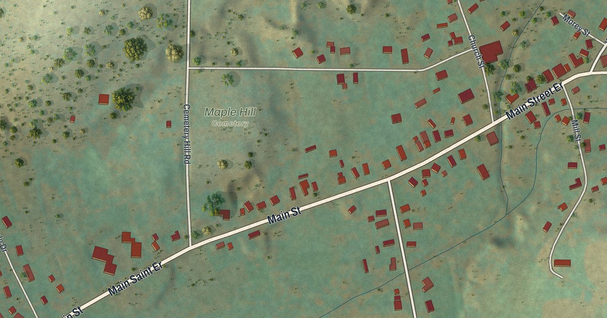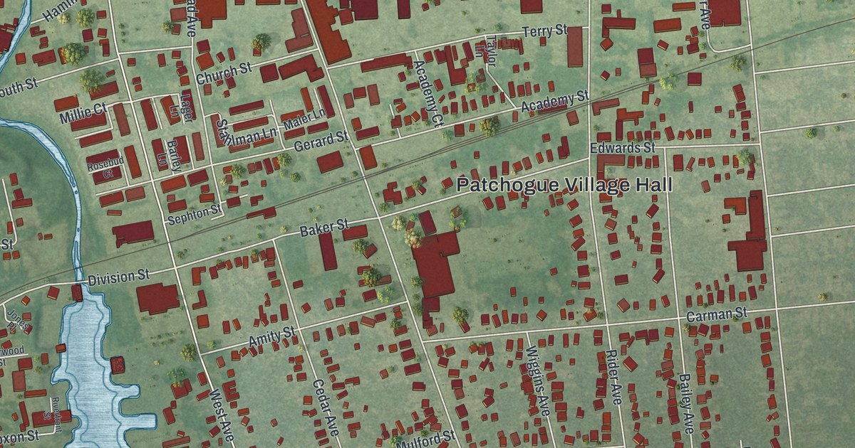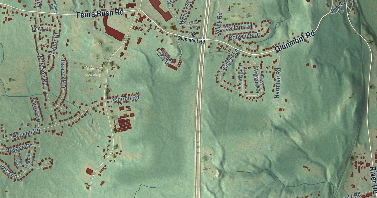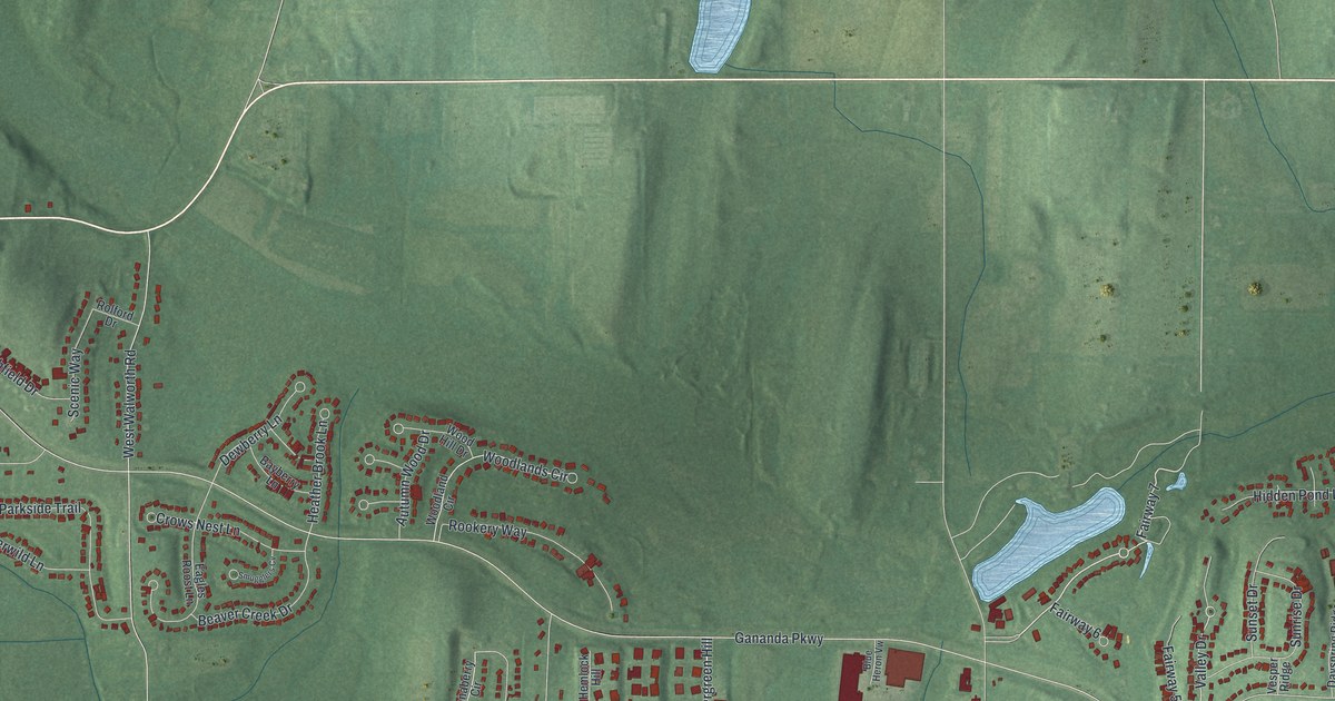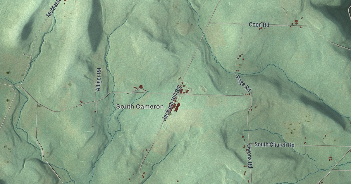
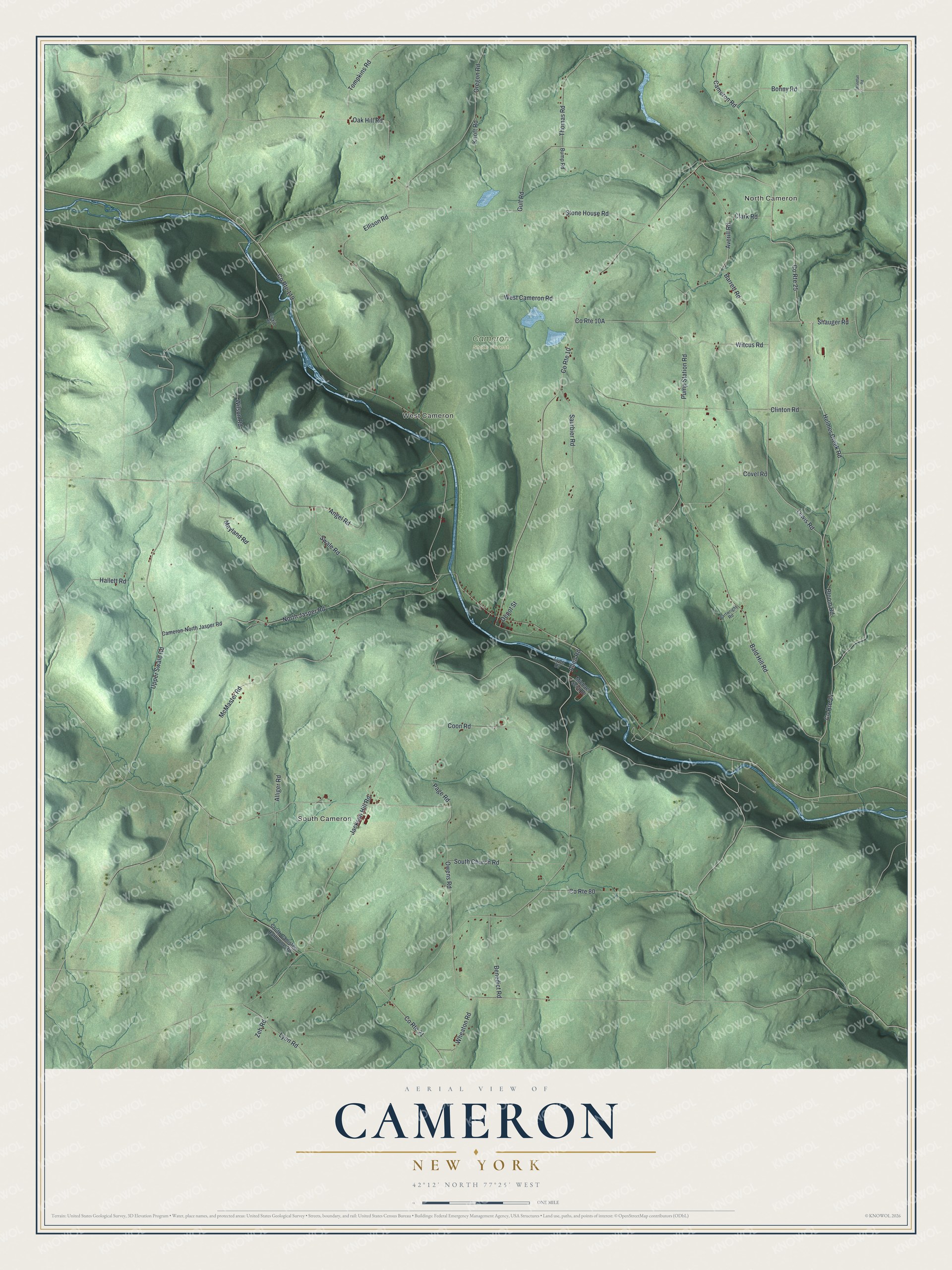
This beautifully detailed map of Cameron, New York was created in 2026 using aerial imagery combined with modern topographical, census, street and landmark data. It’s a one-of-a-kind view of Cameron that combines accurate data with a vintage aesthetic. The map shows every building in its true location, many of the roads carry their names, and the shaded topographic relief shows the shape of the land.
Explore an aerial view of Cameron, New York
On the map you’ll find North Cameron, South Cameron, and West Cameron, along with Helmer Creek Road, Lewis Road, Bonny Road, Upper Swale Road, Oak Hill Road, and more. If you look closely you can even find your house accurately drawn in its correct location. Zoom in on the preview to look for yours.
Did You Know?
The town honors Dugald Cameron, one of its first settlers. He served as a land agent for the Pulteney Estate. Rail service arrived in September 1850. Hurricane Agnes wrecked the tracks in 1972, and crews had to rebuild the line.
Take a closer look at the Cameron map
Names on this map
These names are printed on this map.
Places: North Cameron, South Cameron, West Cameron and Cameron State Forest.
Streets and roads: County Route 25, Helmer Creek Road, Lewis Road, County Route 24, Bonny Road, Upper Swale Road, Oak Hill Road, Averill Road, Pump Station Road, County Route 119, Oregon Road, County Route 10.
More street names, A to Z
Allen Road, Alliger Road, Angel Road, Bald Hill Road, Barrett Road, Benedict Road, Bloom Road, Bump Road, Cameron-North Jasper Road, Cameron Road, Cartwright Road, Clark Road, Clinton Road, Coon Road, County Route 21, County Route 80, Covel Road, Depot Street, Dickie Road, Ellison Road, Gulf Road, Hallett Road, Jackson Hill Road, Knott Road, Lyon Drive, Lyon Road, Mayland Road, McMaster Road, Michael Scott Drive, North Jasper Road, Owens Road, Page Road, Saurbier Road, Shauger Road, South Canisteo Rathbone Road, South Church Road, Stone House Road, Swale Road, Thomas Road, Tompkins Road, West Cameron Road, Wheaton Road, Wilson Road, Windfall Road, Witcus Road, Zeh Road.
See it on a wall
The Cameron map as a framed print. Swipe for more.


This beautifully detailed map of Cameron makes an attractive addition to your office, library, or den, and it can even be used to teach children the geography and history of the area. It also makes a great gift for anyone with Cameron roots. When you’re done exploring, click here to get your copy of the Cameron map.