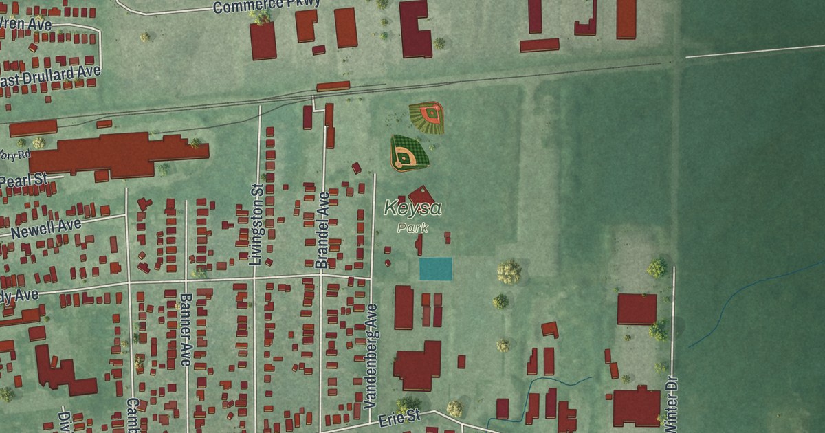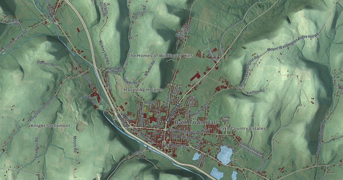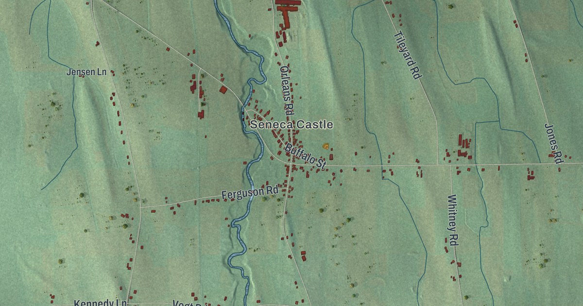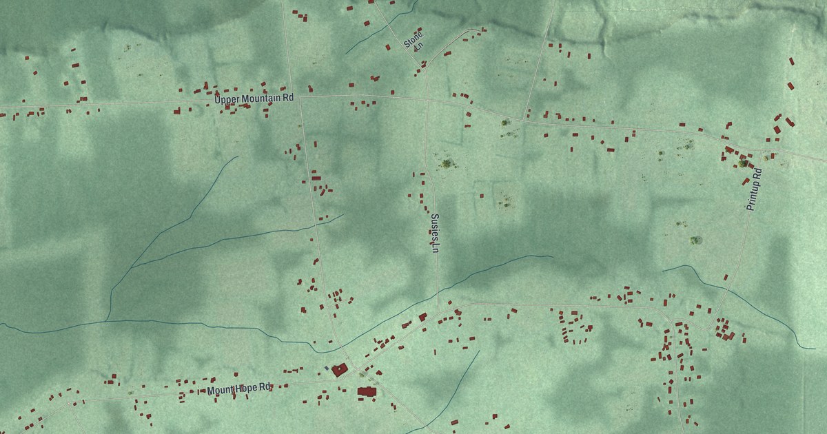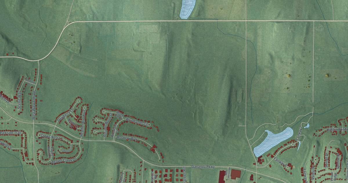
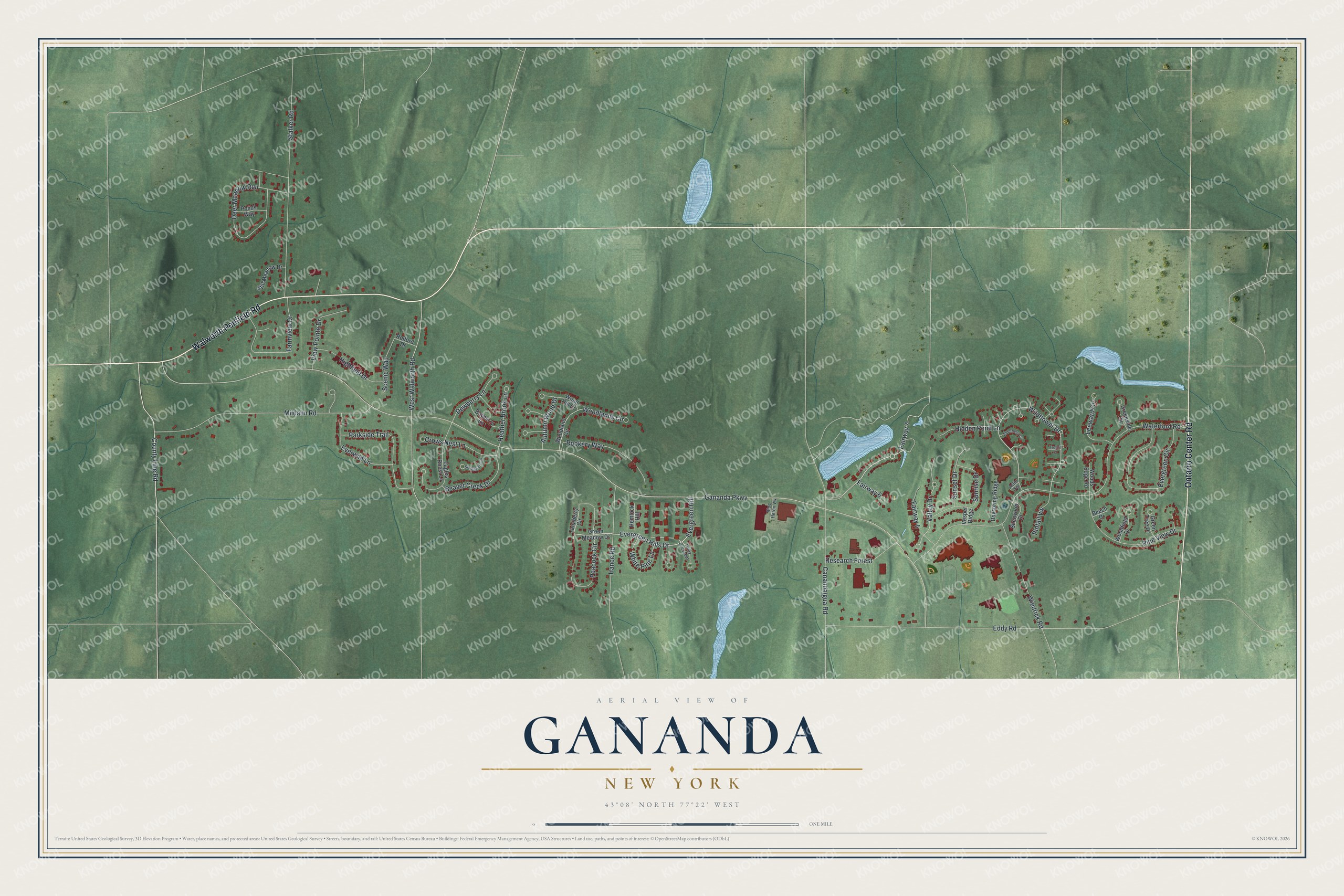
This beautifully detailed map of Gananda, New York was created in 2026 using aerial imagery combined with modern topographical, census, street and landmark data. It's a modern aerial view of Gananda in Wayne County, New York, that combines modern data with a vintage aesthetic. The roads feature printed names, and if you look closely you can find your exact house accurately shown in its correct location.
Explore an aerial view of Gananda, New York
On this map you'll find Walworth Penfield Road, Ontario Center Road, Fairway 7, Evergreen Hills Drive, Evergreen Hill, Valley Drive, Wildflower Drive, Gananda Parkway, Waterford Road, Eddy Road, Mildahn Road, Stalker Road, and more. Each red shape is a building, so zoom in on the preview and look for yours.
Gananda is a community in Wayne County. The Census Bureau counted 5,867 people here in 2020. Gananda sits about 3 miles west of Walworth, 5 miles northwest of Macedon and 6 miles east of Fairport. The map prints the town name in its title panel, with the coordinates below it.
Take a closer look at the Gananda map
Names on this map
These names are printed on this map.
Streets and roads: Walworth Penfield Road, Ontario Center Road, Fairway 7, Evergreen Hills Drive, Evergreen Hill, Valley Drive, Wildflower Drive, Gananda Parkway, Waterford Road, Eddy Road, Mildahn Road, Stalker Road.
More street names, A to Z
Aster Terrace, Autumn Wood Drive, Bayberry Lane, Beaver Creek Drive, Beech Drive, Blue Heron Vw, Canandaigua Road, County Line Road, Creekside Circle, Crows Nest Lane, Dayspring Ridge, Deer Meadow Run, Dewberry Lane, Eagles Roost Lane, Elderberry Circle, Evergreen Circle, Everwild Lane, Fairway 5, Fairway 6, Farmview Drive, Green Meadow Drive, Green Tree Drive, Hance Road, Heather Brook Lane, Hemlock Hill, Hidden Pond Lane, Highfield Drive, Holly Crescent, Leeward Circle, Parkside Trail, Peacock Circle, Pine View Drive, Pintail Vw, Ponds Way, Research Forest, Rolford Drive, Rookery Way, Scenic Way, Sherwood Drive, Smugglers Cv, Still Meadow Drive, Sunrise Drive, Sunset Drive, Tanaberry Circle, Trefoil Court, Vesper Ridge, View Pointe Drive, West Walworth Road, White Pine Lane, Wiedrick Road, Woodfield Drive, Wood Hill Drive, Woodland Circle, Woodlands Circle, Woods Edge Road.
See it on a wall
The Gananda map as a framed print. Swipe for more.


Created by KNOWOL in 2026. The buildings are small red shapes, the roads carry their printed names, and shaded relief shows the shape of the land. The title panel reads "AERIAL VIEW OF GANANDA, NEW YORK" with 43°08' NORTH 77°22' WEST.
It looks right in a kitchen, an office or a den, and it's a gift for anyone who grew up in Gananda or moved away. Open the preview and find your street. See sizes and frames for the Gananda map.