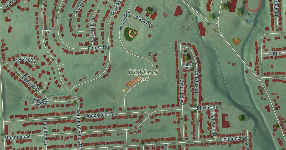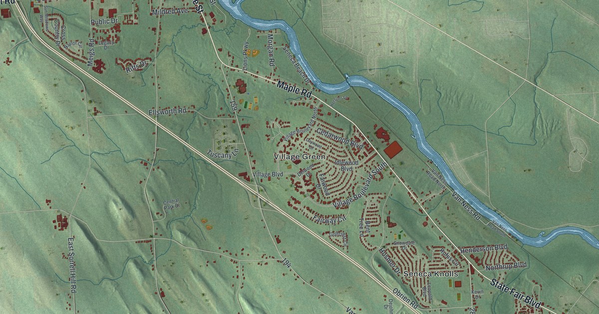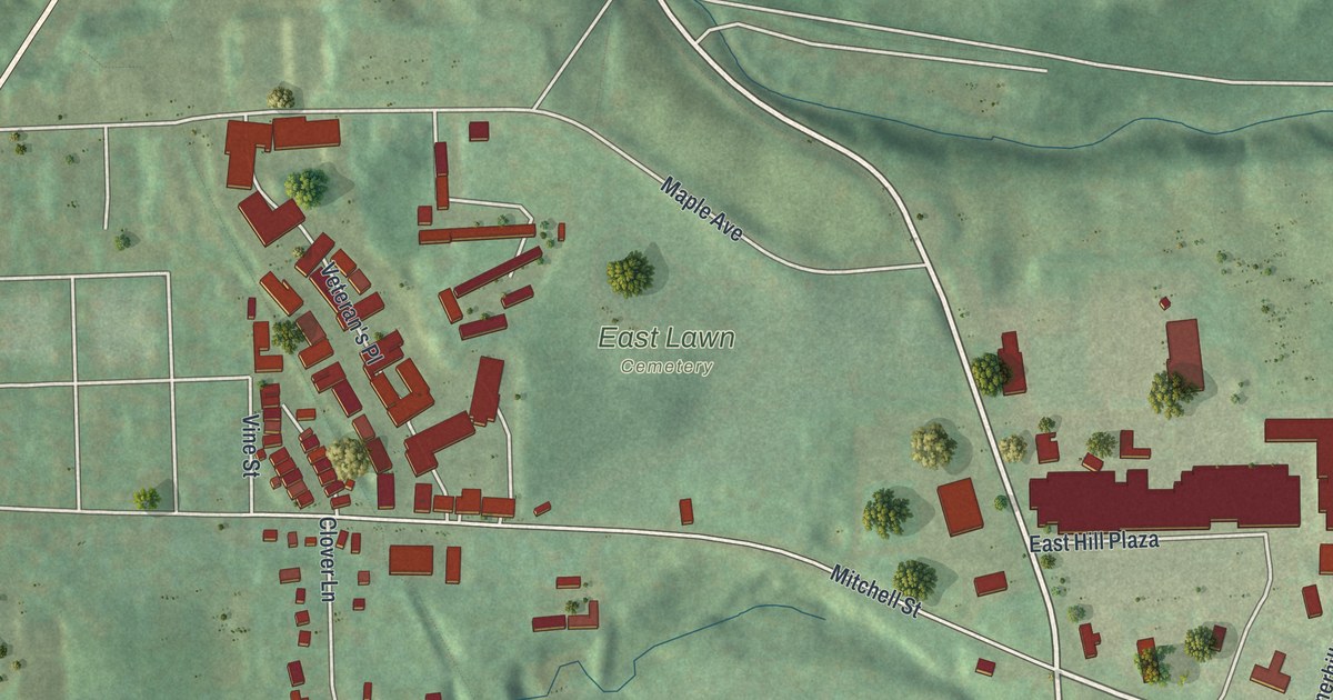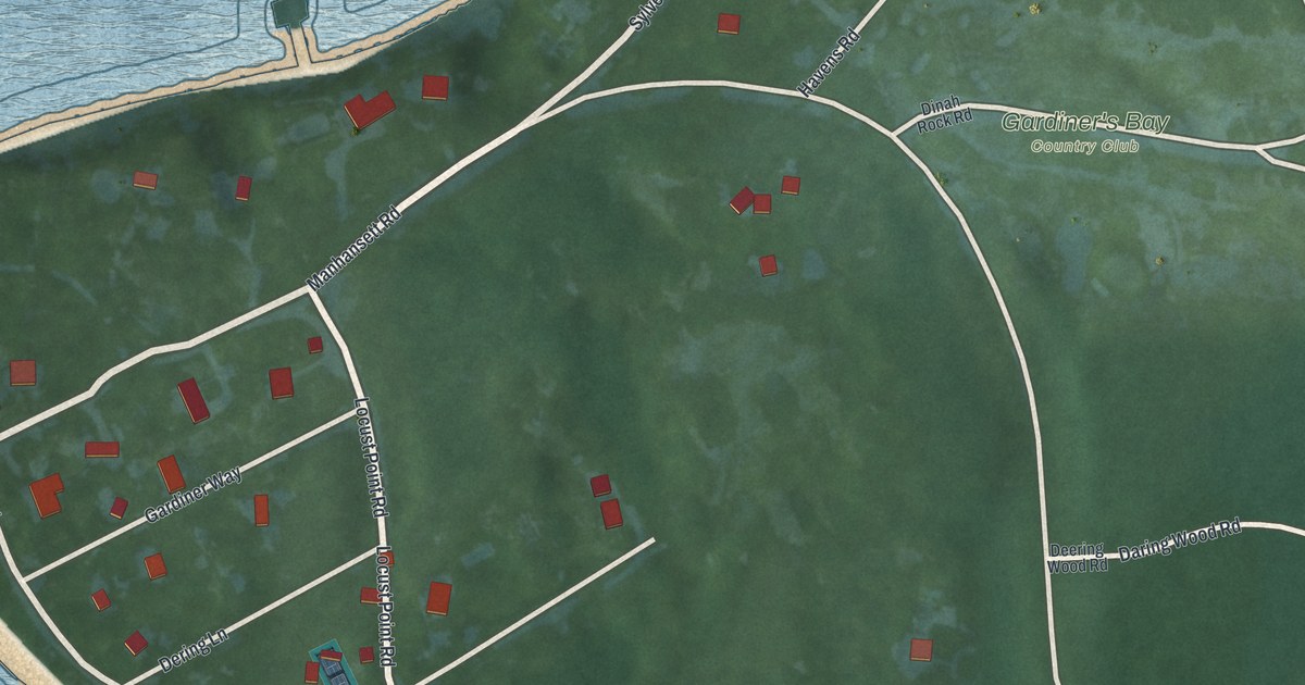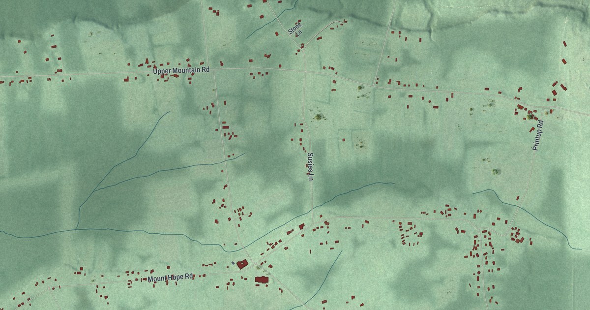
This beautifully detailed map of the Tuscarora Nation Reservation, New York was created in 2026 using aerial imagery combined with modern topographical, census, street and landmark data. It’s a one-of-a-kind view of the Tuscarora Nation Reservation that combines accurate data with a vintage aesthetic. The map shows every building in its true location, many of the roads carry their names, and the shaded topographic relief shows the shape of the land.
Explore an aerial view of Tuscarora Nation Reservation, New York
On the map you’ll find Glenwood, along with Saunders Settlement Road, Ridge Road, Cleghorn Drive, Upper Mountain Road, Mount Hope Road, and more. If you look closely you can even find your house accurately drawn in its correct location. Zoom in on the preview to look for yours.
Did You Know?
The United States gave the Tuscarora a reservation in Niagara County in 1803. In 1960, New York seized 550 acres of it for a reservoir serving the Robert Moses Niagara Power Plant. Families lost their homes. In 2003, the Power Authority agreed to pay the tribe and return some unused land.
Members of the Tuscarora Nation originally lived in what is now North Carolina until the early eighteenth century, when part of the nation traveled north to seek refuge among the Haudenosaunee. The Tuscarora were invited to join the Haudenosaunee Confederacy and became its sixth nation. The Nation keeps a traditional clan system and is governed by its chiefs, and the Tuscarora Reservation lies in Niagara County, New York.
Take a closer look at the Tuscarora Nation Reservation map
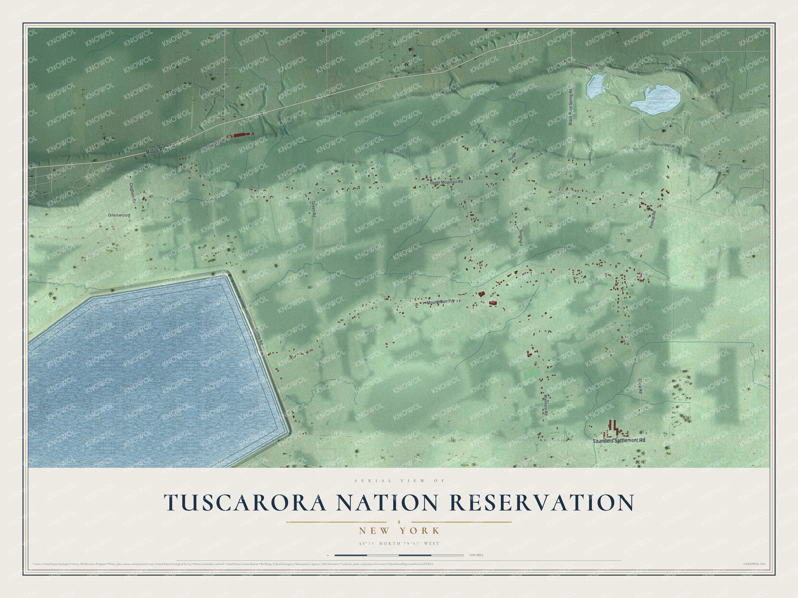
Names on this map
These names are printed on this map.
Places: Glenwood.
Streets and roads: Saunders Settlement Road, Ridge Road, Cleghorn Drive, Upper Mountain Road, Mount Hope Road, Walmore Road, Garlow Road, Chew Road, Susies Lane, Green Road, Black Nose Spring Road, Printup Road.
More street names, A to Z
Indian Hill Road, Stone Lane.
See it on a wall
The Tuscarora Nation Reservation map as a framed print. Swipe for more.


This beautifully detailed map of the Tuscarora Nation Reservation makes an attractive addition to your office, library, or den, and it can even be used to teach children the geography and history of the area. It also makes a great gift for anyone who grew up in the Tuscarora Nation Reservation or moved away. When you’re done exploring, click here to get your copy of the Tuscarora Nation Reservation map.