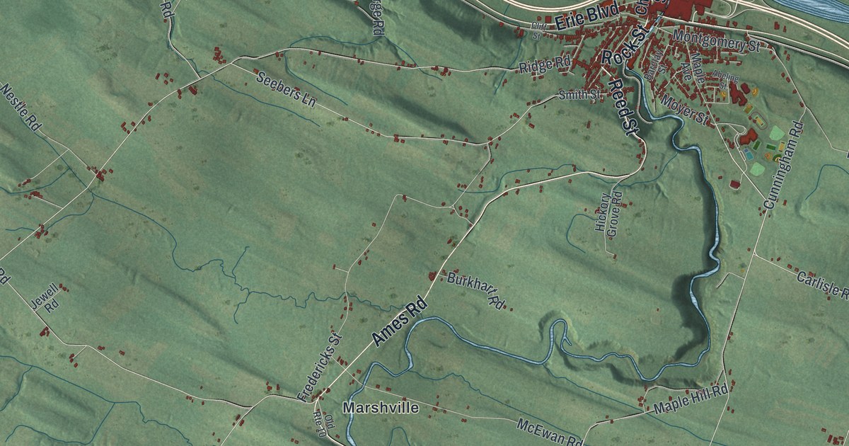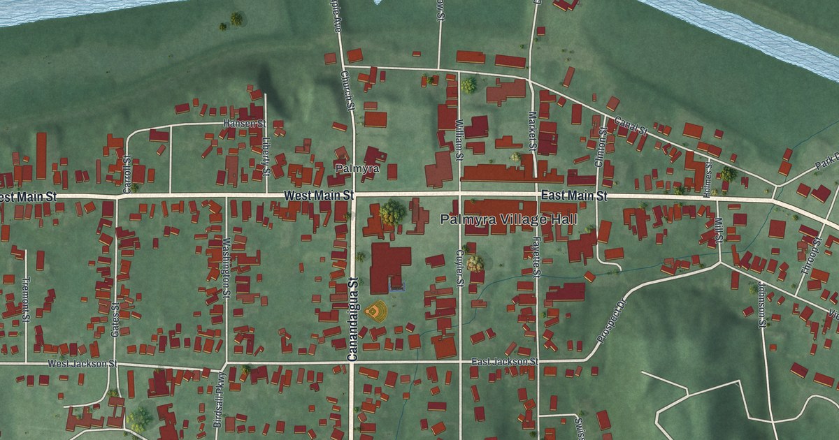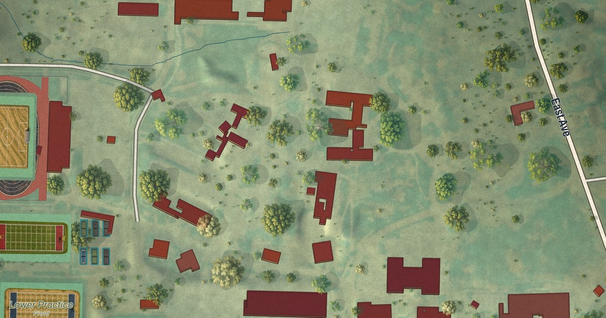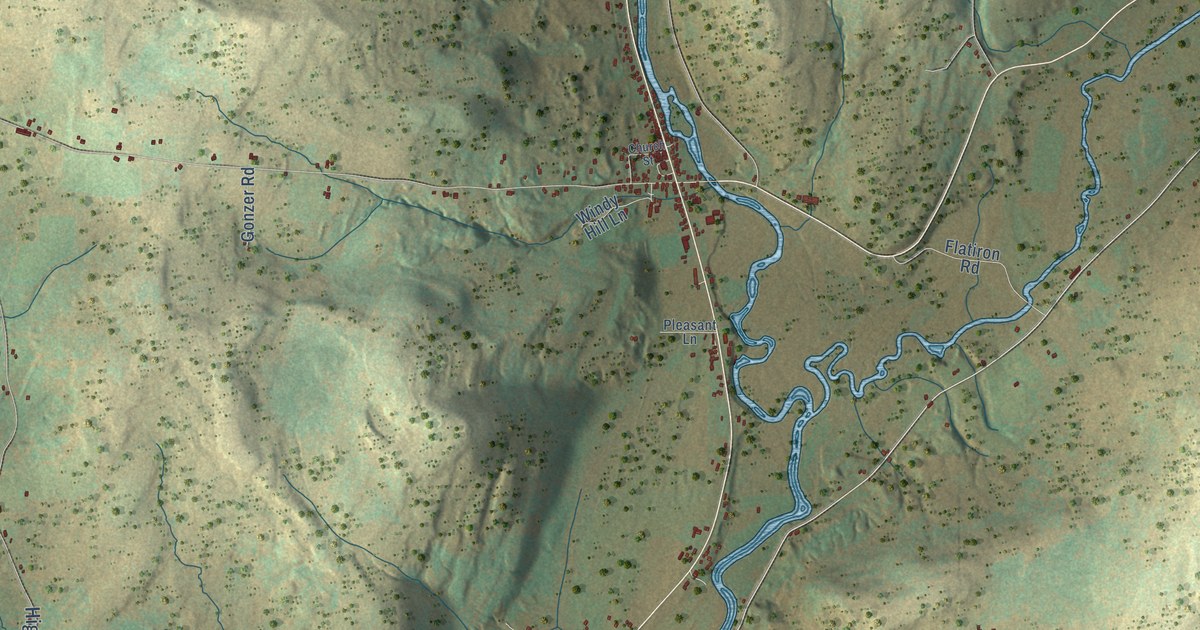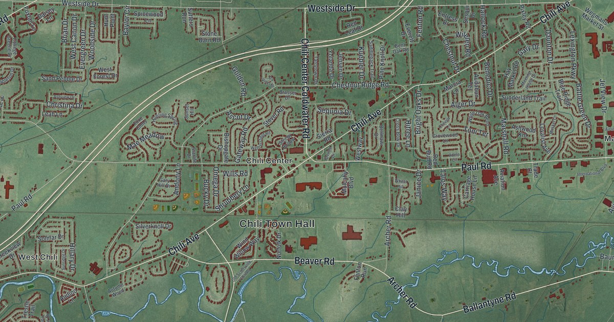
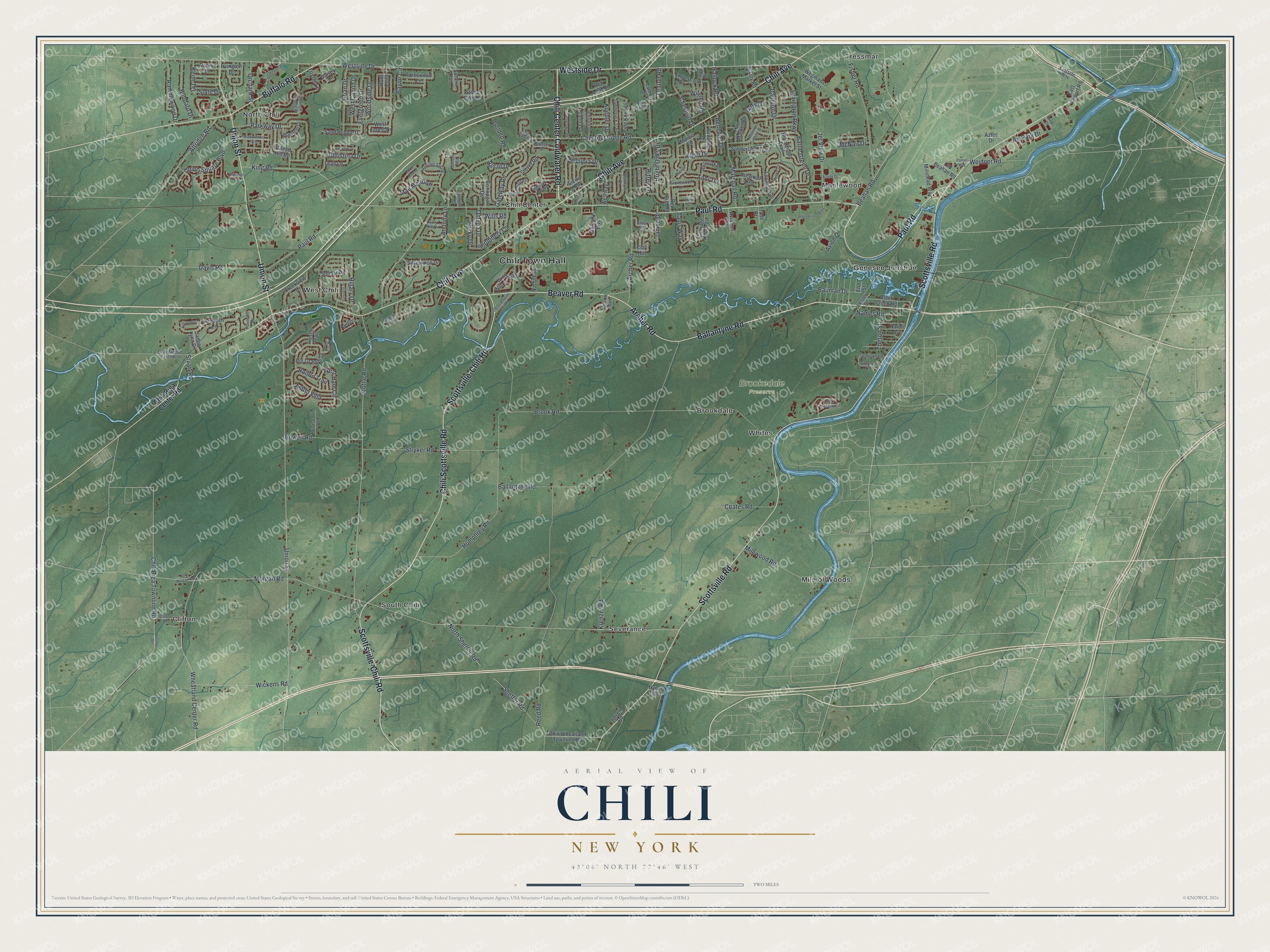
This beautifully detailed map of Chili, New York was created in 2026 using aerial imagery combined with modern topographical, census, street and landmark data. It’s a one-of-a-kind view of Chili that combines accurate data with a vintage aesthetic. The map shows every building in its true location, many of the roads carry their names, and the shaded topographic relief shows the shape of the land.
Explore an aerial view of Chili, New York
On the map you’ll find Chili Town Hall, Brookdale, Chili Center, Clifton, Genesee Junction, Maplewood, and Brookedale Preserve, along with Westside Drive, Ballantyne Road, Chili Center Coldwater Road, Archer Road, and more. If you look closely you can even find your house accurately drawn in its correct location. Zoom in on the preview to look for yours.
Did You Know?
The Chili area was once a Seneca hunting ground. Captain Joseph Morgan was its first white settler, on land he bought from Peter Sheffer of Wheatland. Chili split off from Riga as its own town in 1822. North Chili later served as a stop on the Underground Railroad.
Take a closer look at the Chili map
Names on this map
These names are printed on this map.
Places: Chili Town Hall, Brookedale Preserve, Brookdale, Chili Center, Clifton, Genesee Junction, Maplewood, Mile of Woods, North Chili, Severance, South Chili, Tressmar, West Chili and Whites.
Streets and roads: Westside Drive, Ballantyne Road, Chili Center Coldwater Road, Archer Road, Beaver Road, Union Street, Scottsville Road, Chili Avenue, Chili Scottsville Road, Scottsville-Chili Road, Paul Road, Buffalo Road.
More street names, A to Z
Adela Circle, Airline Drive, Air Park Drive, Alger Drive, Ambush Lane, Andony Lane, Arthurian Way, Ascot Drive, Ashview Drive, Ashwood Knl, Aston Villa, Attridge Road, Audabon Terrace, Audino Lane, Autumn Wood, Aviation Avenue, Avion Drive, Aztec Drive, Battle Green Drive, Bauman Drive, Baylor Circle, Beahan Road, Bellmawr Drive, Benedict Drive, Bent Oak Road, Bishopgate Drive, Black Creek Road, Blue Ridge Trail, Bolton Trail, Bowen Road, Box Car Drive, Brasser Drive, Brian Drive, Bright Oaks Drive, Brook Road, Bucky Drive, Carriage House Lane, Cassandra Circle, Chesbrough Drive, Chestnut Drive, Chestnut Ridge Road, Cheviot Lane, Chili Avenue Extended, Chili Riga Center Road, Chili Riga Townline Road, Chili Wheatland Townline Road, Christina Drive, Clay Hill, Clifton Road, Coates Road, College Greene Drive, Creekview Drive, Cross Bow Drive, Daisey Lane, Daunton Drive, Da Vinci Drive, Davis Road, East Airport Road, Eastside Way, End Street, Entress Drive, Everett Drive, Evergreen Drive, Fenton Road, Fisher Road, Flinton Run, Foxe Cmns, Foxtail Lane, Gary Drive, Gary Hill Drive, Gateway Road, Gilead Hill Road, Golden Road, Great Meadow Circle, Grenell Drive, Greyson Road, Grovewood Lane, Hallock Road, Harold Avenue, Haverhill Drive, Hay Market Road, Hillary Drive, Hitree Lane, Hosmer Road, Hubbard Drive, Humphrey Road, Hunting Spring, Hunt Point, Hynes Tract, International Boulevard, Irvington Drive, Jamie Lynn Drive, Janice Drive, Jarrett Road, Jemison Road, Jensen Drive, Jet View Drive, Keith Terrace, King Road, Krenzer Road, Kuebler Drive, Leah Lane, Lester Street, Lexington Parkway, Loyalist Avenue, Mae Meadow, Mapleton Drive, Marcia Lane, Marshall Road, McNair Drive, Meadowbrook Farm, Meeting House Drive, Milewood Road, Millstead Way, Morgan Road, Mulcahy Boulevard, Musket Lane, Names Road, Norfolk Drive, North Sheffer Road, Old Beahan Road, Old Morgan Road, Old Scottsville Chili Road, Omega Drive, Orchard Street, Parkway Drive, Patriot Way, Pine Knoll Drive, Pixley Road, Ramblewood Drive, Red Bud Road, Red Leaf Drive, Reed Road, Rio Grande Drive, Ronnie Lane, Saddleback Trail, Sand Pebble Drive, Sequoia Drive, Sesqui Drive, Sheffer Road, Shrubbery Lane, Sierra Road, Silverknoll Drive, Slate Drive, Sleepy Hollow, Solmar Drive, Spicewood Lane, Starlite Drive, Stone Barn Road, Stottle Road, Stover Road, Stryker Road, Stuart Road, Sunderland Trail, Sunridge Drive, Sunset Hill, Sutters Run, Talos Way, Tarrytown Drive, Theron Street, Toni Terrace, Towers Drive, Trade Court, Trestle Trail, Union Square Boulevard, Wadsworth Drive, Wegmans Market Street, Weidner Road, West Canon Drive, West Forest Drive, West Ham Circle, Westway, Wethersfield Road, Wheat Hill, Wheatland Center Road, White Oak Bend, Wickens Road, Wilelen Road, Wills Road, Wind Willow Way, Woodside Drive, Yolanda Drive.
See it on a wall
The Chili map as a framed print. Swipe for more.


This beautifully detailed map of Chili makes an attractive addition to your office, library, or den, and it can even be used to teach children the geography and history of the area. It also makes a great gift for anyone with Chili roots. When you’re done exploring, click here to get your copy of the Chili map.