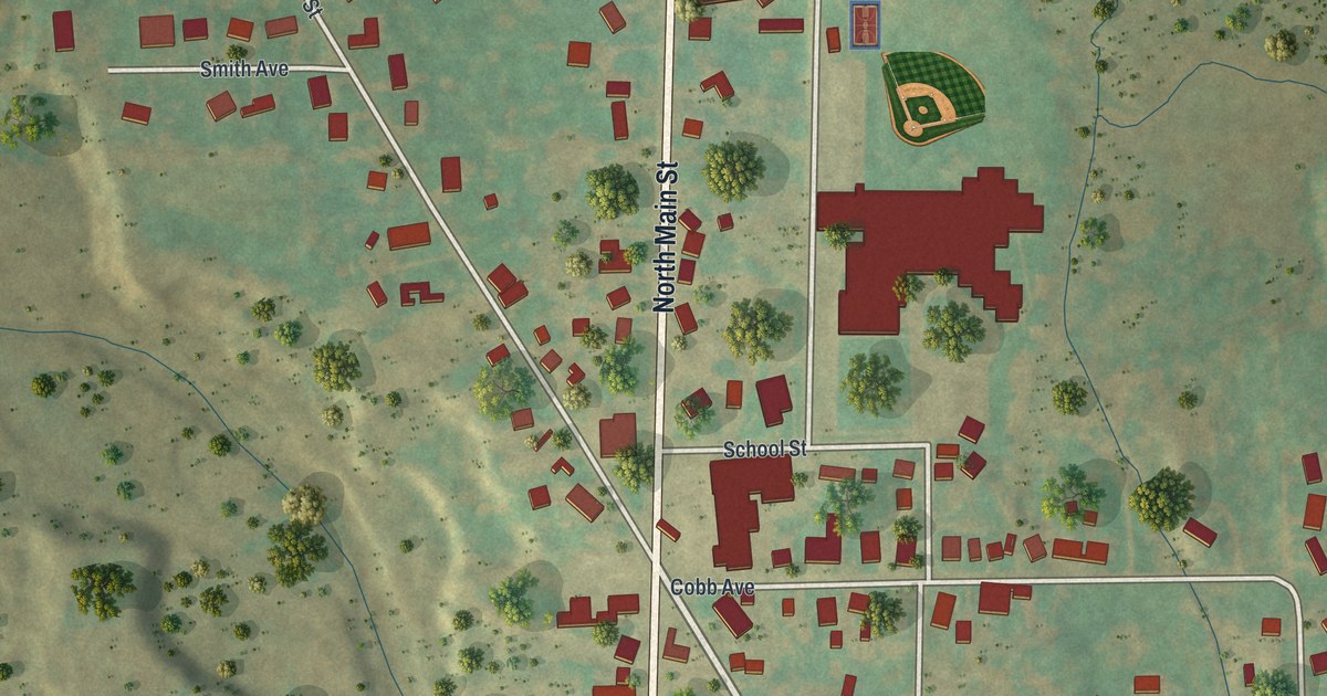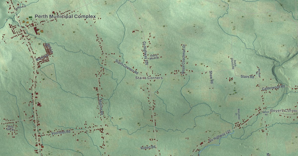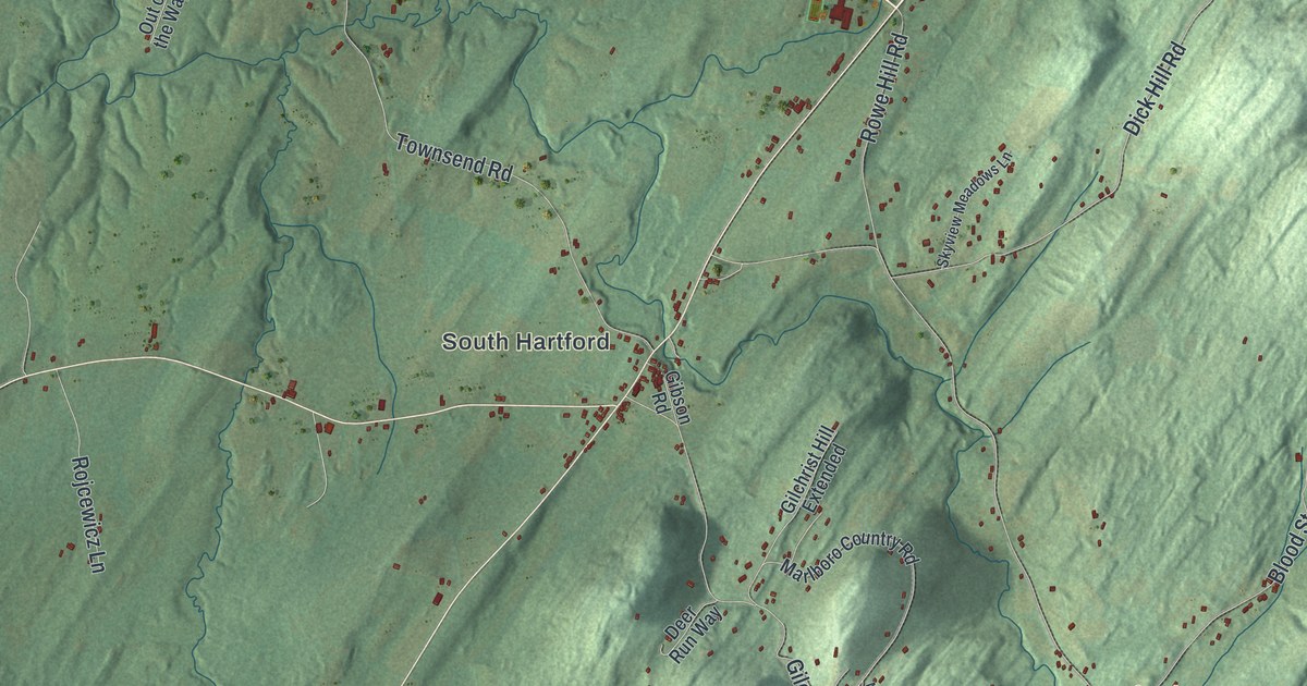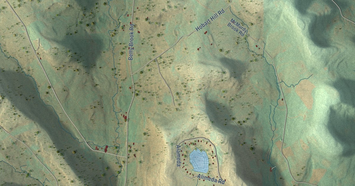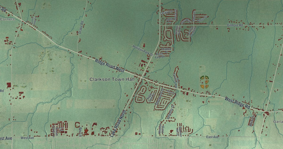
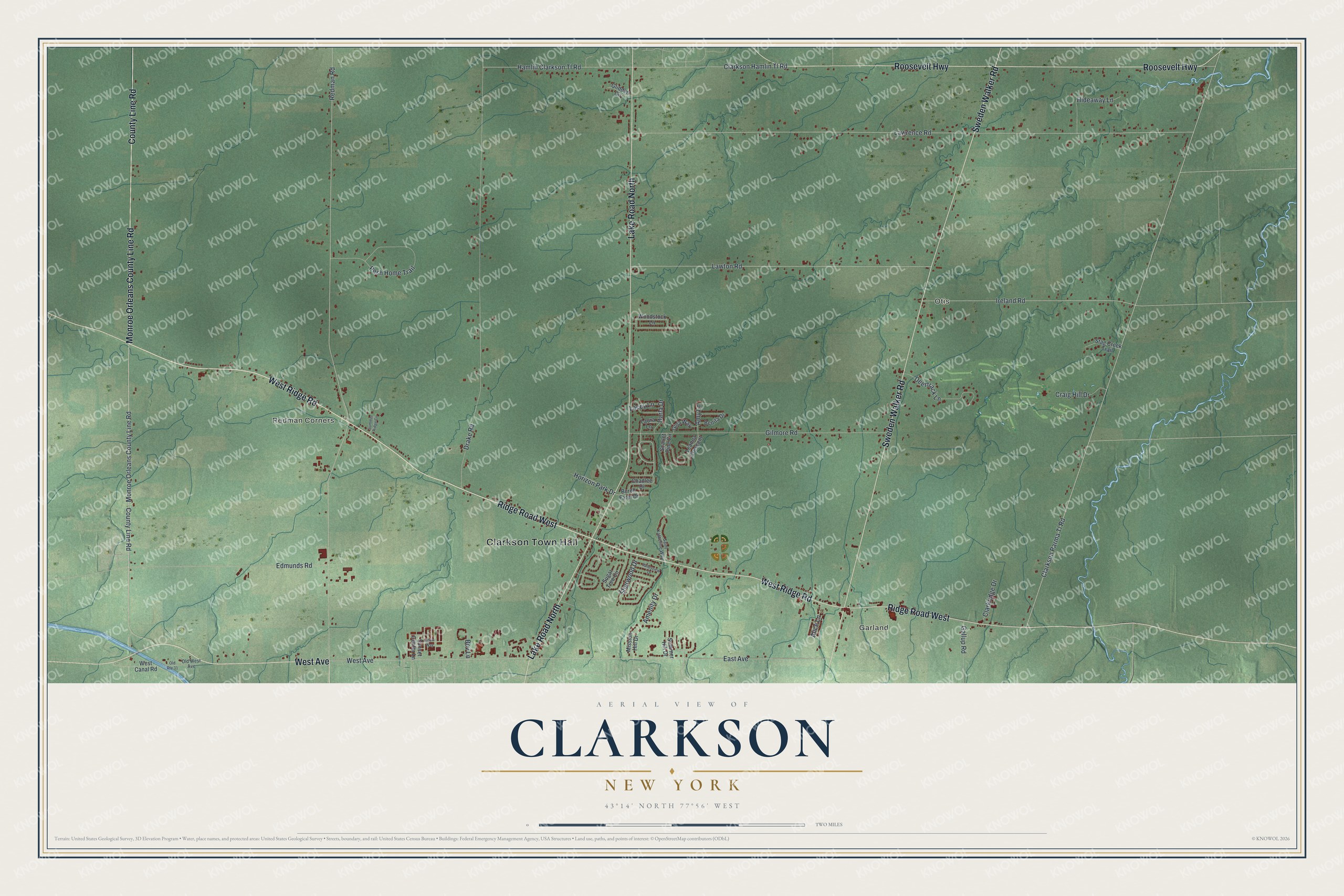
This beautifully detailed map of Clarkson, New York was created in 2026 using aerial imagery combined with modern topographical, census, street and landmark data. It’s a one-of-a-kind view of Clarkson that combines accurate data with a vintage aesthetic. The map shows every building in its true location, many of the roads carry their names, and the shaded topographic relief shows the shape of the land.
Explore an aerial view of Clarkson, New York
On the map you’ll find Clarkson Town Hall, Garland, Otis, and Redman Corners, along with Ridge Road, West Avenue, Sweden Walker Road, Lake Road, and more. If you look closely you can even find your house accurately drawn in its correct location. Zoom in on the preview to look for yours.
Did You Know?
Clarkson was the birthplace of George B. Selden, called the father of the automobile. In 1872 he quit practicing law to chase the idea of a horseless carriage. By 1877 he had a working three-cylinder gasoline engine. His 1895 patent earned him a royalty on every car built until Henry Ford broke his monopoly in 1903. That’s from the 1940 WPA guide to New York.
Take a closer look at the Clarkson map
Names on this map
These names are printed on this map.
Places: Clarkson Town Hall, Garland, Otis and Redman Corners.
Streets and roads: Ridge Road West, West Ridge Road, West Avenue, Sweden Walker Road, Lake Road North, Roosevelt Highway, County Line Road, Monroe Orleans County Line Road, Clarkson Parma Tl Road, Hamlin Clarkson Tl Road, Redman Road, Lawrence Road.
More street names, A to Z
Alice Lane, Amenity Drive, Amy Lane, Benita Drive, Bev Lane, Burch Farm Drive, Chadlee Drive, Clarkridge Drive, Clarkson Hamlin Tl Road, Craig Hill Drive, Darla Drive, Deertrack Lane, Drake Road, East Avenue, Edmunds Road, Gallup Road, Gilmore Road, Gina Way, Glidden Circle, Hideaway Lane, Horizon Park Drive, Ireland Road, Lacey Lane, Laura Lane, Lawton Road, Leanna Crescent, Lina's Way, Mission Hill Drive, Old Route 31, Old West Avenue, Pesh Home Trail, Saint Katherine Way, Scarlet Pine Circle, Sherwood Drive, Stag Creek Trail, Sugar Tree Circle, Summer Hill Drive, Summer Ridge Circle, Sunset Center Lane, Valleyview Drive, West Canal Road, Woodstock Lane.
See it on a wall
The Clarkson map as a framed print. Swipe for more.


This beautifully detailed map of Clarkson makes an attractive addition to your office, library, or den, and it can even be used to teach children the geography and history of the area. It also makes a great gift for anyone who grew up in Clarkson or moved away. When you’re done exploring, click here to get your copy of the Clarkson map.