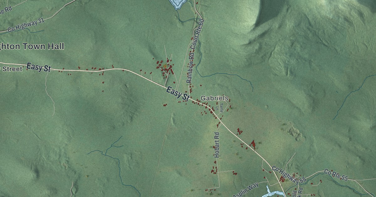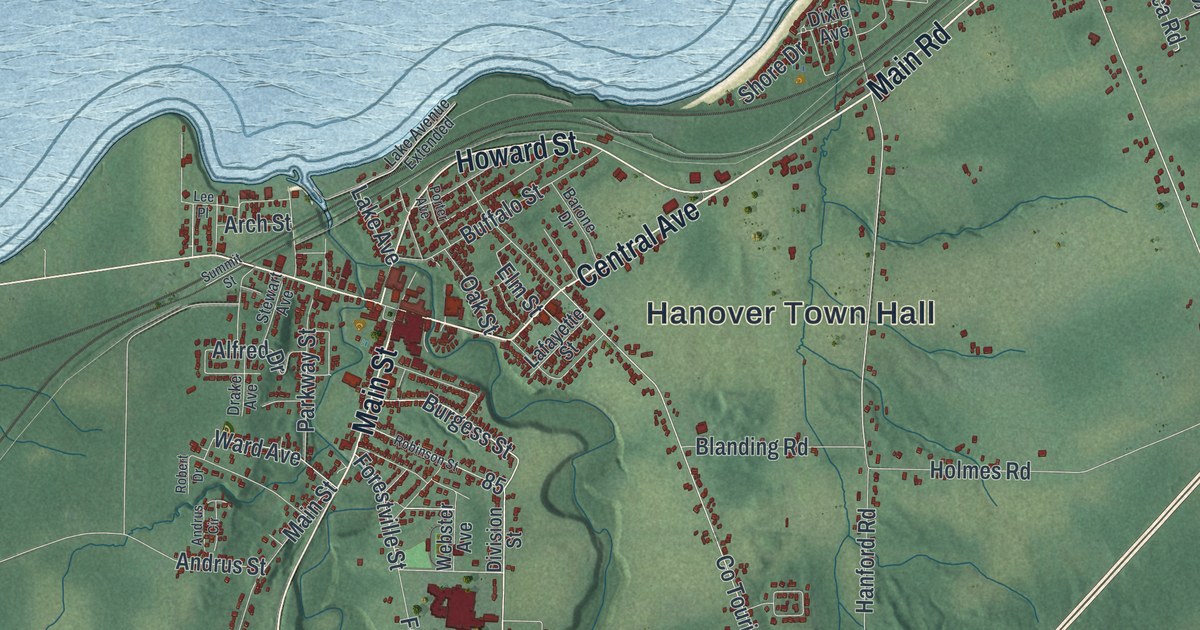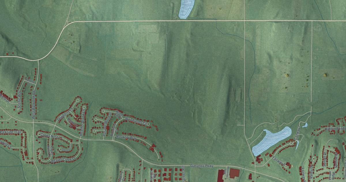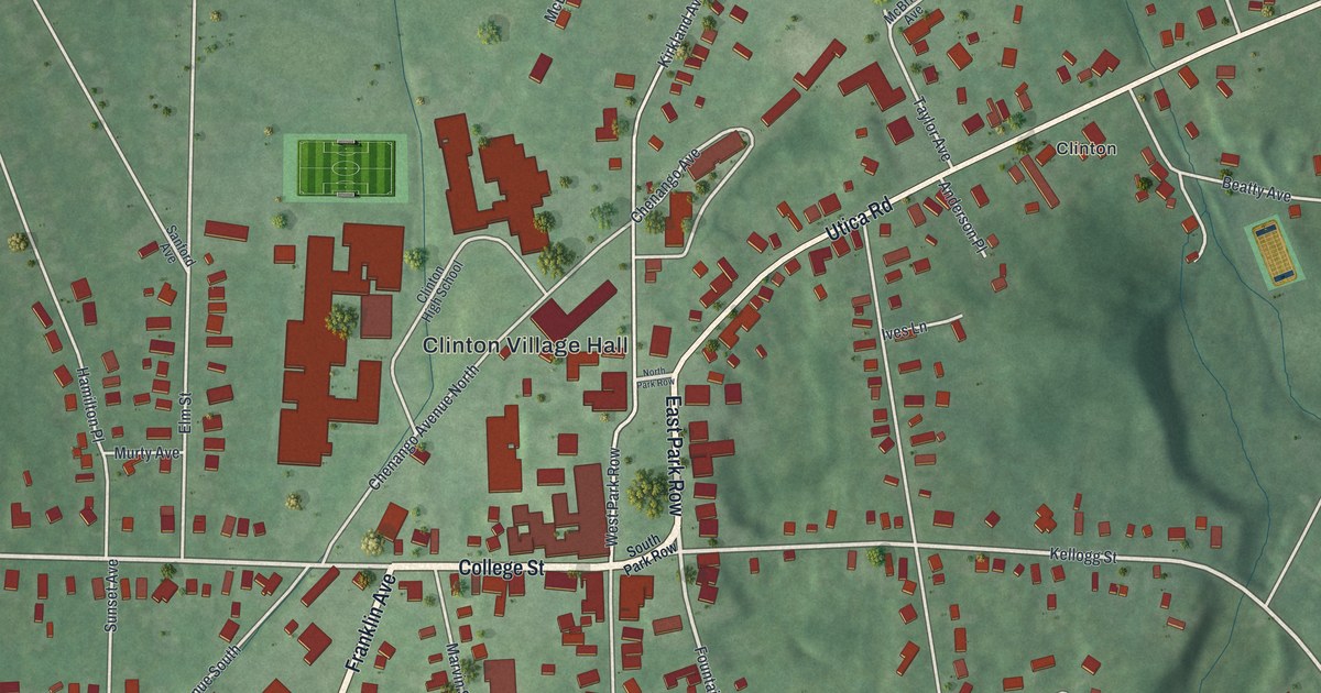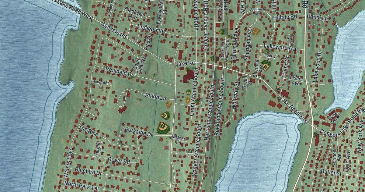
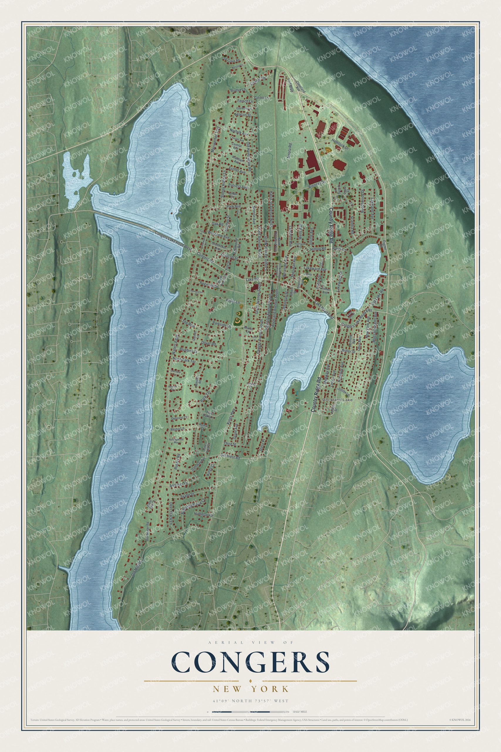
This beautifully detailed map of Congers, New York was created in 2026 using aerial imagery combined with modern topographical, census, street and landmark data. It's a modern aerial view of Congers in Rockland County, New York, that combines modern data with a vintage aesthetic. The roads feature printed names, and if you look closely you can find your exact house accurately shown in its correct location.
Explore an aerial view of Congers, New York
On this map you'll find Rockland Lake, Country Ridge Road, Lake Road East, Leif Boulevard, Congers Lake Road West, Lake Road, Kings Highway, Congers Road, Congers Lake Road East, Gilchrest Road, Hilltop Road, Harrison Avenue South, and more. Each red shape is a building, so zoom in on the preview and look for yours.
Congers is a community in Rockland County. The Census Bureau counted 8,532 people here in 2020. Congers sits about 2 miles south of Haverstraw, 2 miles east of New City and 2 miles north of Valley Cottage. The map prints the town name in its title panel, with the coordinates below it.
Take a closer look at the Congers map
Names on this map
These names are printed on this map.
Places: Rockland Lake.
Streets and roads: Country Ridge Road, Lake Road East, Leif Boulevard, Congers Lake Road West, Lake Road, Kings Highway, Congers Road, Congers Lake Road East, Gilchrest Road, Hilltop Road, Harrison Avenue South, New York Avenue.
More street names, A to Z
Andover Road, Babbling Brook Lane, Beacon Street, Beechwood Drive, Beth Lane, Bluebird Drive, Boxberger Road, Brenner Drive, Burnside Avenue, Butler Street, Calico Place, Central Avenue, Chester Avenue, Cleveland Avenue, Conger Avenue North, Conger Avenue South, Cordes Lane, Corners Road, Cygnet Road, Deer Track Lane, Deforest Court, Dover Road, Edelweiss Lane, Endicott Street, Esther Avenue, Farmhouse Road, Fersch Lane, First Street, Fisher Avenue, Five Oaks Lane, Friend Court, Friend Street, Garnet Lane, Gateway Avenue, Grant Avenue, Grant Avenue North, Grant Avenue South, Greenfield Terrace, Green Street, Harrison Avenue North, Hemlock Drive, Highway Avenue, Huffman Road, Hughes Street, Ivy Court, Jolliffe Avenue, Jolliffe Lane, Jolliffe Street, Karl Court, Kings Court, Kohler Court, Lakeland Avenue, Lakeward Avenue, Lakewood Drive, Lamborn Avenue, Lenox Avenue, Liberty Street, Linda Court, Marco Lane, Massachusetts Avenue, Medway Avenue, Meola Road, Meriwether Trail, Morton Avenue, Nelson Lane, Norfolk Avenue, North Park Terrace, North Rockland Avenue, Oak Road, Ohio Avenue, Old Clave Road, Old Haverstraw Road, Old Lake Road, Old Mill Road, Park Avenue, Parkside Drive, Park Terrace, Patricia Avenue, Pennypacker Road, Pine Street, Pine Tree Court, Pitkin Lane, Randi Lane, Reginald Drive, Reina Court, Reina Lane, Rockland Avenue North, Rockland Avenue South, Rollingwood Way, Roman Terrace, Roosa Lane, Russet Road, Scandia Road, Second Street, Sheridan Avenue, Sherman Avenue, Sleepy Hollow Lane, Snedecker Avenue, South Pine Avenue, Southward Avenue, Stern Place, Stonewall Lane, Svahn Drive, The Rise, Third Street, Trevor Lake Drive, Vermont Avenue, Viking Lane, Waltham Avenue, Water Mill Court, Waters Edge, Wells Avenue, Wesley Road, Westview Avenue, Whitman Street.
Created by KNOWOL in 2026. The buildings are small red shapes, the roads carry their printed names, and shaded relief shows the shape of the land. The title panel reads "AERIAL VIEW OF CONGERS, NEW YORK" with 41°09' NORTH 73°57' WEST.
It looks right in a kitchen, an office or a den, and it's a gift for anyone who grew up in Congers or moved away. Open the preview and find your street. See sizes and frames for the Congers map.