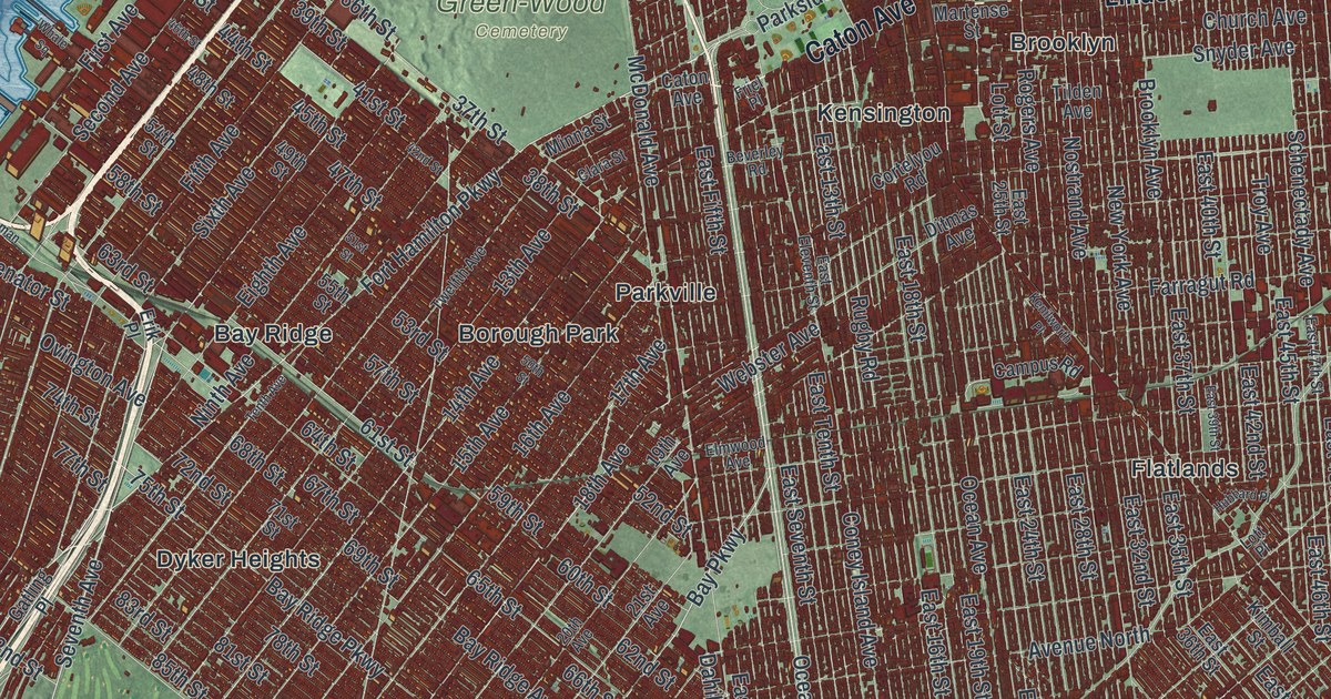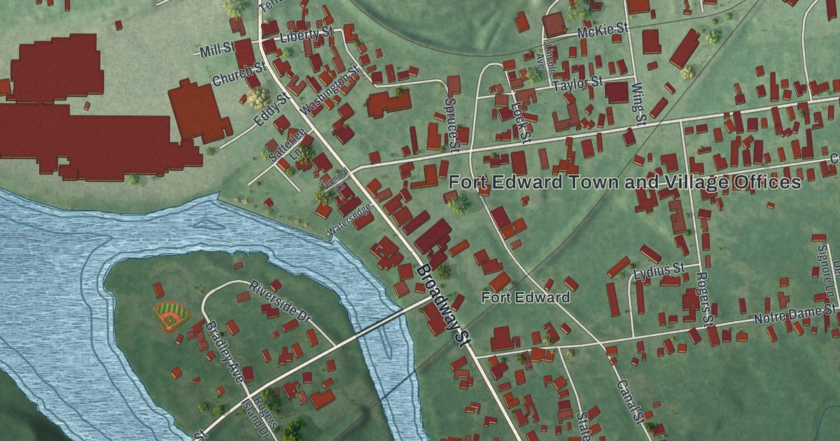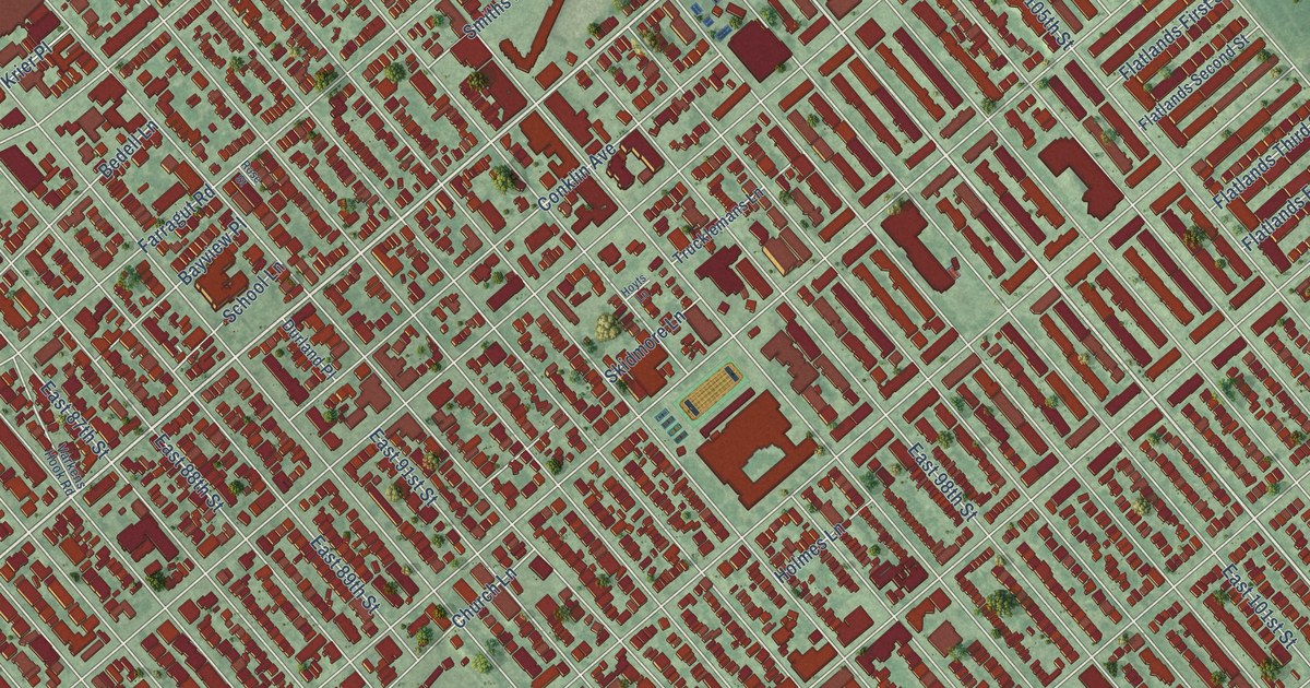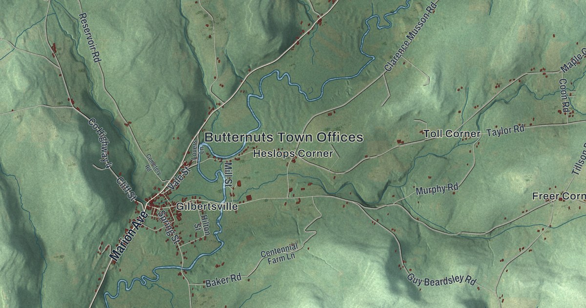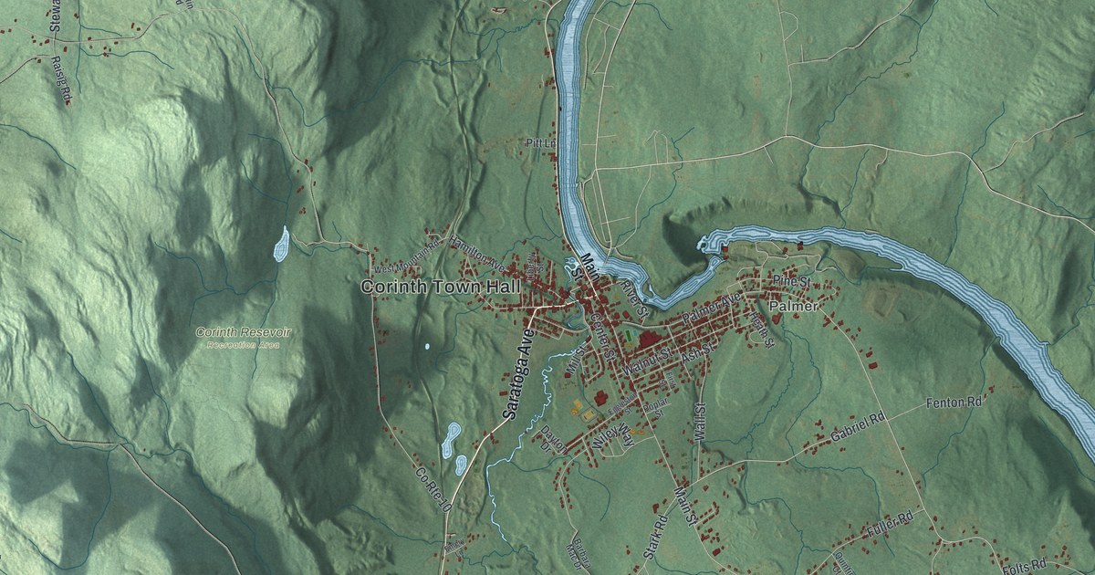
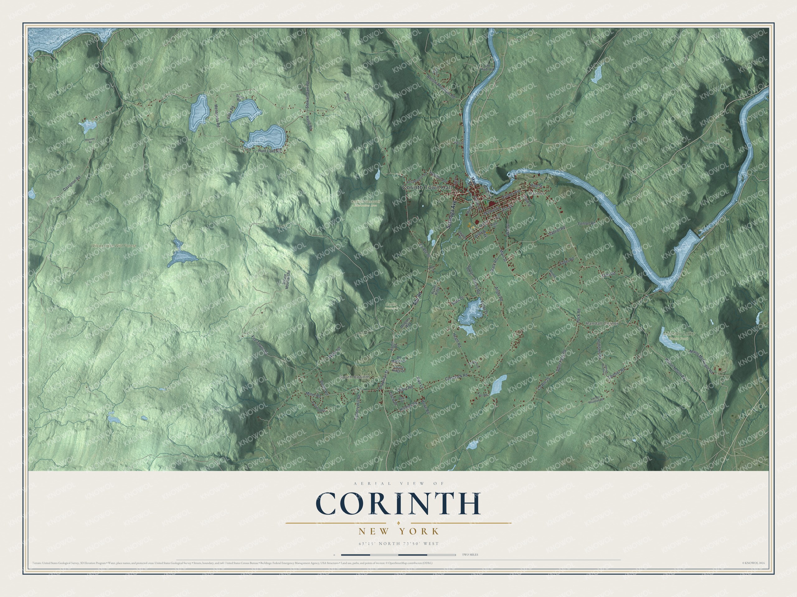
This beautifully detailed map of Corinth, New York was created in 2026 using aerial imagery combined with modern topographical, census, street and landmark data. It’s a one-of-a-kind view of Corinth that combines accurate data with a vintage aesthetic. The map shows every building in its true location, many of the roads carry their names, and the shaded topographic relief shows the shape of the land.
Explore an aerial view of Corinth, New York
On the map you’ll find Corinth Town Hall, Randall Corner, Palmer, South Corinth, Corinth Resevoir Recreation Area, Curtis Preserve, Moreau Lake State Park, and Wilcox Lake Wild Forest, along with Saratoga Avenue, Stark Road, Gabriel Road, Wilton Mount Road, and more. If you look closely you can even find your house accurately drawn in its correct location. Zoom in on the preview to look for yours.
Did You Know?
Corinth split off from Hadley in 1818. Its first order of business was picking a name. Mrs. Washington Chapman was given the honor. She opened her Bible at random and landed on the Epistle to the Corinthians, so the new town became Corinth.
Take a closer look at the Corinth map
Names on this map
These names are printed on this map.
Places: Corinth Town Hall, Randall Corner, Palmer, South Corinth, Corinth Resevoir Recreation Area, Curtis Preserve, Moreau Lake State Park and Wilcox Lake Wild Forest.
Streets and roads: Saratoga Avenue, Stark Road, Gabriel Road, Wilton Mount Road, Mount McGregor Road, Atwell Road, Howe Road, Main Street, Angel Road, Stewart Dam Road, County Route 10, Davignon Road.
More street names, A to Z
Antone Mountain Road, Ash Street, Barbara Mac Drive, Center Street, Chapman Street, Circle Drive, Clothier Road, Comstock Road, County Route 25, Dayton Drive, De Matteo Drive, Depot Road, Eggleston Street, Emery Lane, Farr Road, Fenton Road, Fire Tower Road, First Street, Folts Road, Fuller Drive, Fuller Road, Hack Road, Hamilton Avenue, Hamm Road, Harris Road, Heath Road, Heath Street, Hollister Road, Hollister Road Part 2, Holmes Road, Hunt Lake Road, Lake Road, Liberty Street, Lincoln Mountain Road, Locust Ridge Drive, Martin Road, Mesacosa Road, Mill Street, Miner Road, Morgans Way, Old River Road, Palmer Avenue, Pike Lane, Pine Street, Pitt Lane, Poplar Street, Quintin Court, Raisig Road, Reynolds Road, River Street, Ryans Ridge, Solar Drive, Spier Falls Road, Spotswood Drive, Spruce Mountain Road, Stark Drive, Stone Road, Surrey Road, Tannery Hill Road, Wall Street, Walnut Street, Wedgewood Way, Wells Road, West Mountain Road, Wiley Way.
See it on a wall
The Corinth map as a framed print. Swipe for more.


This beautifully detailed map of Corinth makes an attractive addition to your office, library, or den, and it can even be used to teach children the geography and history of the area. It also makes a great gift for someone who left Corinth and still calls it home. When you’re done exploring, click here to get your copy of the Corinth map.