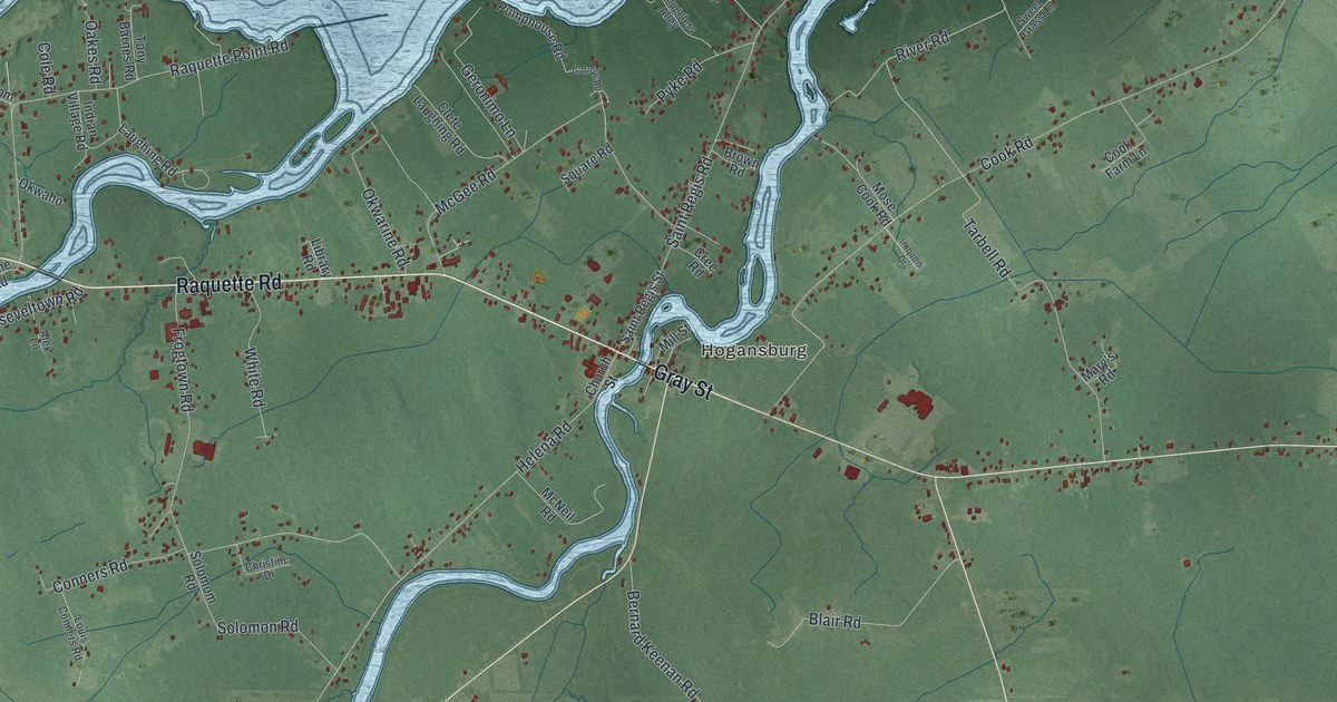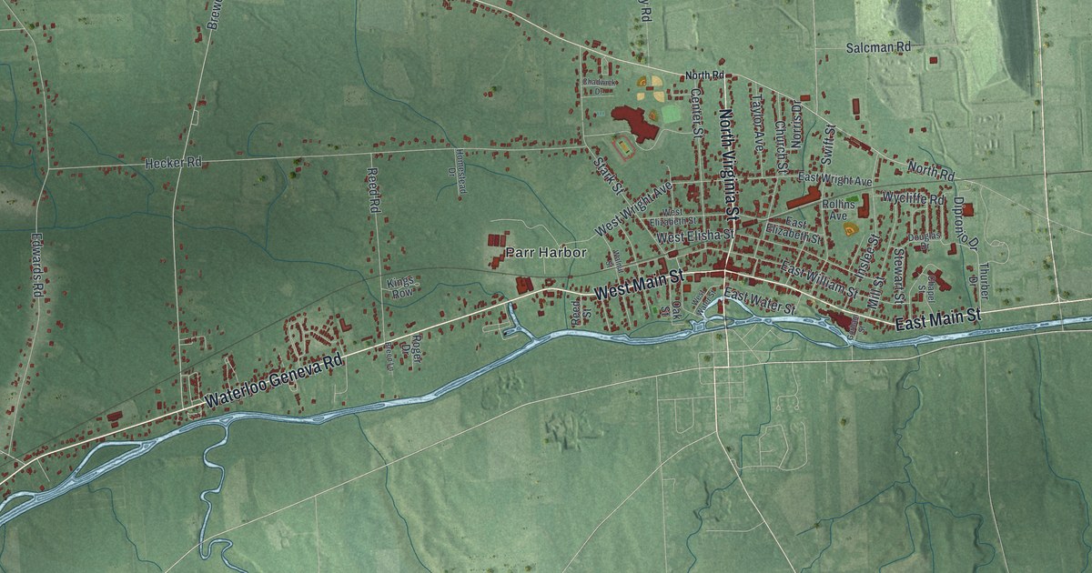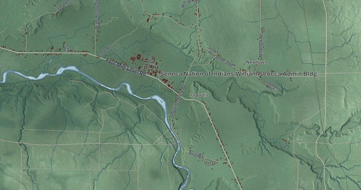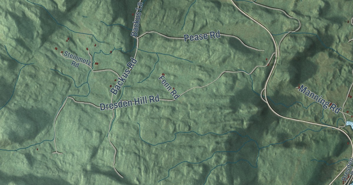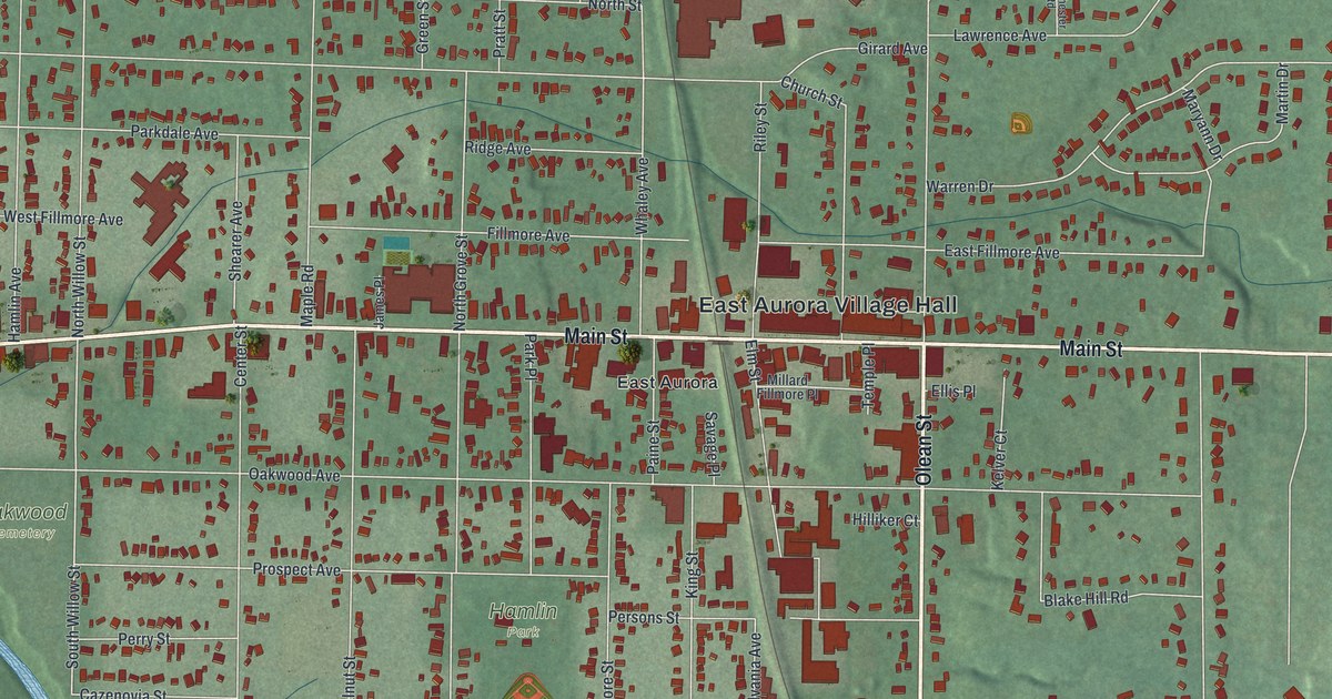
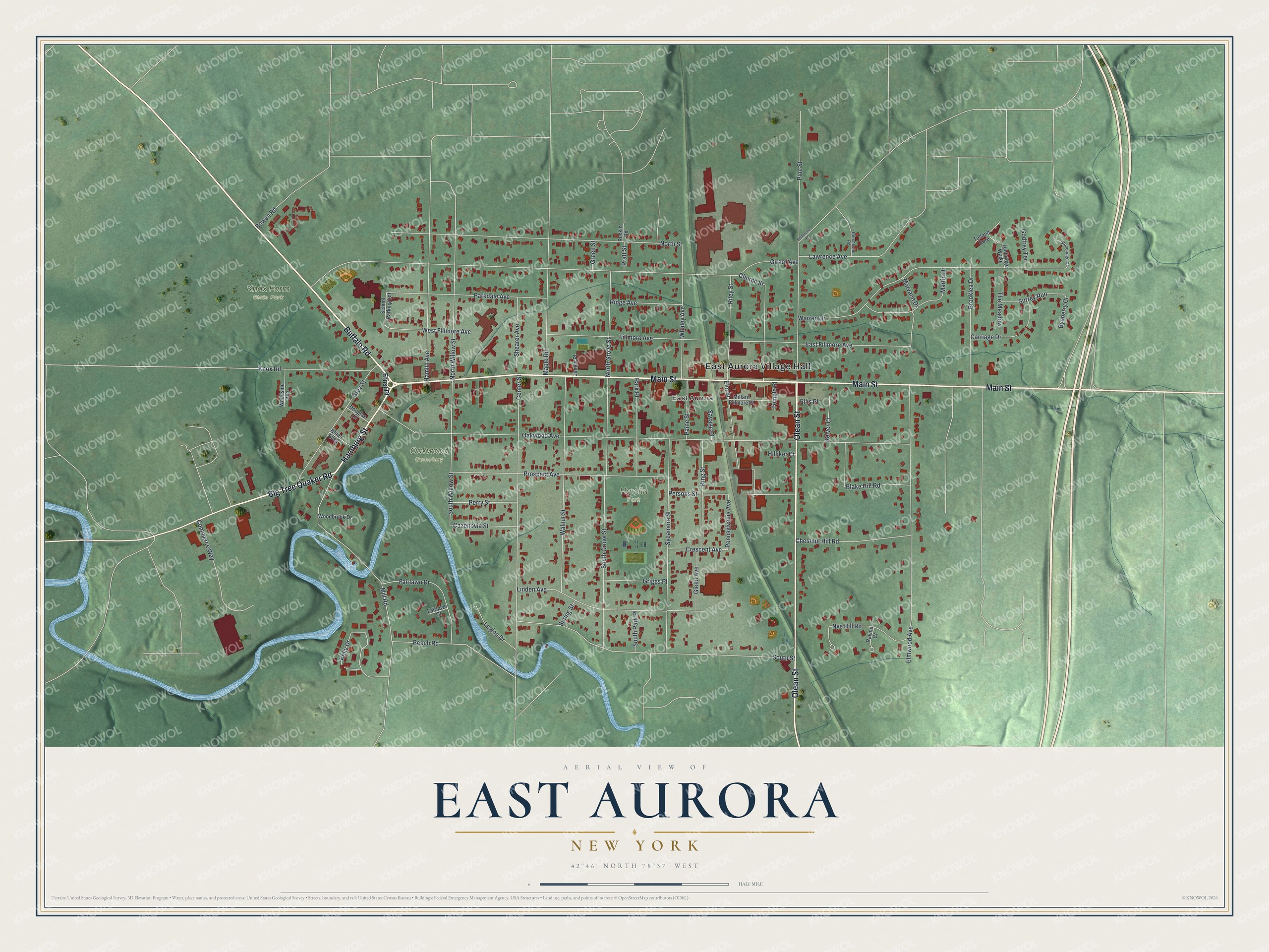
This beautifully detailed map of East Aurora, New York was created in 2026 using aerial imagery combined with modern topographical, census, street and landmark data. It’s a one-of-a-kind view of East Aurora that combines accurate data with a vintage aesthetic. The map shows every building in its true location, many of the roads carry their names, and the shaded topographic relief shows the shape of the land.
Explore an aerial view of East Aurora, New York
On the map you’ll find East Aurora Village Hall, Hamlin Park, Knox Farm State Park, and Oakwood Cemetery, along with Main Street, Hamburg Street, Buffalo Road, Olean Street, and more. If you look closely you can even find your house accurately drawn in its correct location. Zoom in on the preview to look for yours.
Did You Know?
From 1826 to 1830, Millard Fillmore and his wife Abigail made their home in East Aurora. That was years before he became president. He built a house here while starting his law career. The Aurora Historical Society now keeps the restored home, with some of his original furniture.
Take a closer look at the East Aurora map
Names on this map
These names are printed on this map.
Places: East Aurora Village Hall, Hamlin Park, Knox Farm State Park, Oakwood Cemetery and East Aurora.
Streets and roads: Main Street, Hamburg Street, Buffalo Road, Olean Street, Big Tree Quaker Road, North Willow Street, South Willow Street, Pennsylvania Avenue, Oakwood Avenue, Girard Avenue, North Street, Warren Drive.
More street names, A to Z
Beech Road, Blake Hill Road, Boies Alley, Bowen Road, Brooklea Drive, Byeberry Court, Carriage Drive, Cazenovia Street, Center Street, Chestnut Hill Road, Church Street, Commerce Way, Crescent Avenue, Dorchester Road, Douglas Lane, East Fillmore Avenue, Ellis Place, Elm Street, Elmwood Avenue, Ernst Place, Fairlawn Court, Fairlawn Drive, Fillmore Avenue, Gleed Avenue, Godfrey Terrace, Green Street, Grey Street, Griggs Place, Hamlin Avenue, Hilliker Court, James Place, Kelly Drive, Kelver Court, King Street, Knox Road, Lawrence Avenue, Legion Drive, Linden Avenue, Maple Road, Martin Drive, Maryann Drive, Millard Fillmore Place, Mill Road, North Grove Street, Nye Hill Road, Paine Street, Parkdale Avenue, Park Place, Perry Street, Persons Street, Pine Street, Porterville Road, Pratt Street, Prospect Avenue, Ravine Court, Ridge Avenue, Riley Street, Ruskin Road, Savage Place, School Parking Lot, Shearer Avenue, South Grove Street, South Park Place, South Street, Spring Street, Stoneridge Court, Surrey Run, Sycamore Street, Temple Place, The Meadow, Tolland Bore, Tunbridge Walke, Walnut Street, West Fillmore Avenue, Whaley Avenue, Woodbrook Drive, Woodside Avenue.
See it on a wall
The East Aurora map as a framed print. Swipe for more.


This beautifully detailed map of East Aurora makes an attractive addition to your office, library, or den, and it can even be used to teach children the geography and history of the area. It also makes a great gift for anyone with East Aurora roots. When you’re done exploring, click here to get your copy of the East Aurora map.